Banktop Plantation
Wood, Forest in Northumberland
England
Banktop Plantation
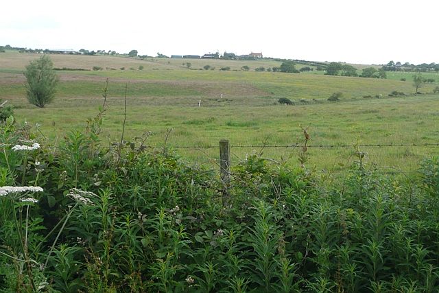
Banktop Plantation is a sprawling woodland located in the county of Northumberland, England. Spanning a vast area and consisting primarily of mature trees, this plantation is a haven for nature enthusiasts and outdoor enthusiasts alike.
The plantation is situated on hilly terrain, offering panoramic views of the surrounding countryside. The woodland is predominantly composed of native tree species such as oak, beech, and birch, creating a diverse and vibrant ecosystem. Additionally, there are several coniferous trees, including pine and spruce, which provide a contrasting backdrop to the woodland.
Banktop Plantation boasts a well-maintained network of walking trails, allowing visitors to explore the woodland at their own pace. These trails offer a variety of experiences, from gentle strolls to more challenging hikes, catering to individuals of all fitness levels. Along the way, visitors can discover hidden gems such as babbling brooks, picturesque ponds, and an abundance of wildlife.
Nature enthusiasts will relish the opportunity to spot a variety of bird species, including woodpeckers, owls, and songbirds, which call the woodland home. Additionally, Banktop Plantation is known for its diverse range of flora, with vibrant wildflowers carpeting the forest floor during the spring and summer months.
For those seeking a tranquil retreat or a chance to reconnect with nature, Banktop Plantation offers a serene and picturesque setting. Its idyllic location, combined with its natural beauty and diverse wildlife, make it a must-visit destination for anyone looking to immerse themselves in Northumberland's natural wonders.
If you have any feedback on the listing, please let us know in the comments section below.
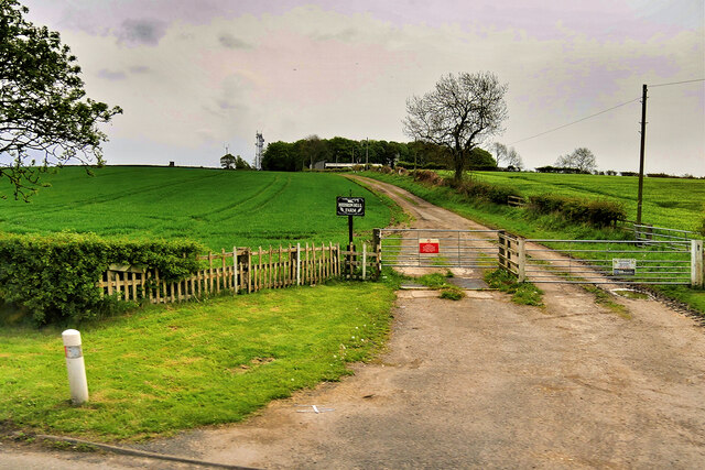
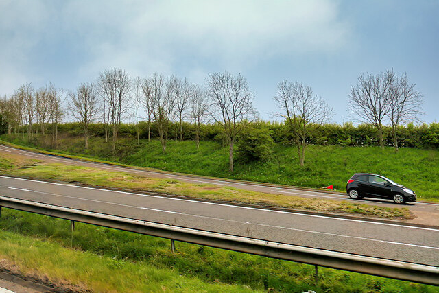
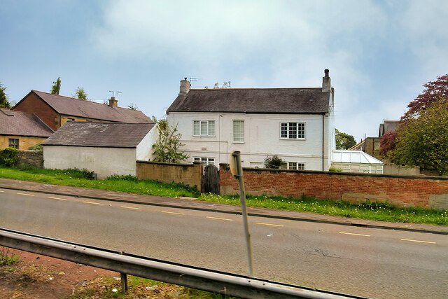
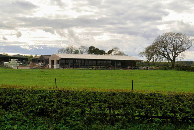
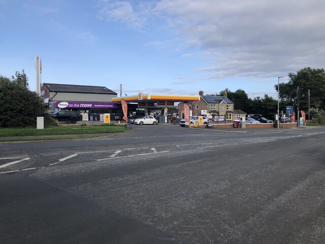
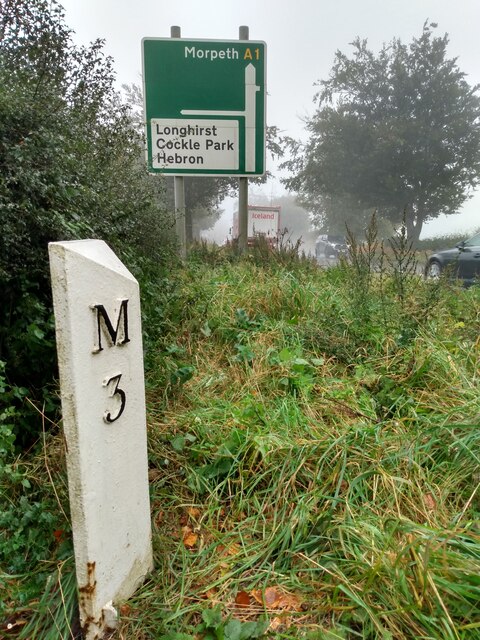
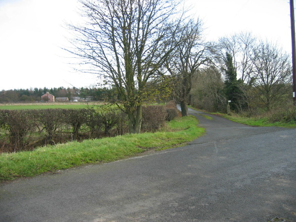
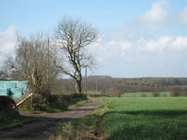
Banktop Plantation Images
Images are sourced within 2km of 55.194654/-1.7207858 or Grid Reference NZ1788. Thanks to Geograph Open Source API. All images are credited.


Banktop Plantation is located at Grid Ref: NZ1788 (Lat: 55.194654, Lng: -1.7207858)
Unitary Authority: Northumberland
Police Authority: Northumbria
What 3 Words
///players.calculate.downs. Near Hebron, Northumberland
Nearby Locations
Related Wikis
Hebron, Northumberland
Hebron is a village and civil parish 2 miles (3.2 km) north of Morpeth, in the county of Northumberland, England. In 2011 the parish had a population of...
Pigdon
Pigdon is a hamlet and former civil parish 3 miles (4.8 km) from Morpeth, now in the parish of Meldon, in the county of Northumberland, England. In 1951...

The King Edward VI School, Morpeth
King Edward VI School, Morpeth is a voluntary controlled academy high school in Morpeth, Northumberland, England. It was established by a royal charter...
Bullers Green
Bullers Green is a part of the town of Morpeth and former civil parish, Northumberland, England. In 1881 the parish had a population of 346. == Governance... ==
Mitford, Northumberland
Mitford is a village in Northumberland, England, located 2 miles (3 km) west of Morpeth. == History == Although the foundation of Mitford is unknown, it...
St George's Park, Morpeth
St George's Park is a mental health facility in Morpeth, Northumberland. It is managed by Cumbria, Northumberland, Tyne and Wear NHS Foundation Trust....
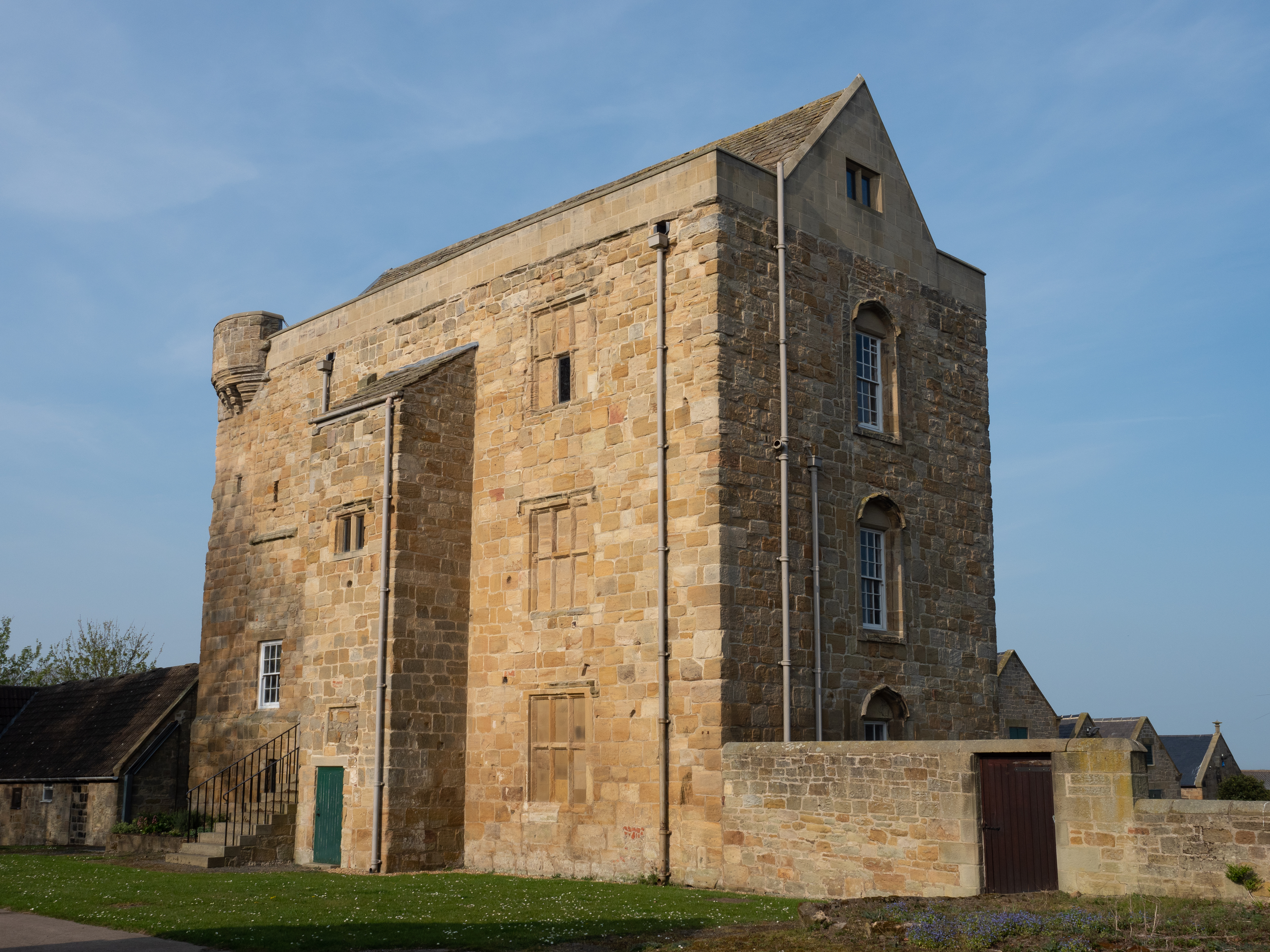
Cockle Park Tower
Cockle Park Tower is a Grade 1 listed building in the hamlet of Cockle Park, Northumberland, England, some 4 miles (6 km) to the north of Morpeth. This...
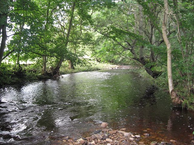
River Font
The River Font is a river that flows through Northumberland, England. The river is a tributary of the River Wansbeck which it joins at Mitford. == References... ==
Nearby Amenities
Located within 500m of 55.194654,-1.7207858Have you been to Banktop Plantation?
Leave your review of Banktop Plantation below (or comments, questions and feedback).