Ash Copse

Wood, Forest in Wiltshire

England

Ash Copse

National Cycle Route 45, Normanton Towards Salisbury.
National Cycle Route 45, Normanton Credit: JThomas

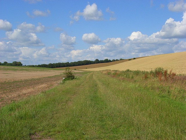
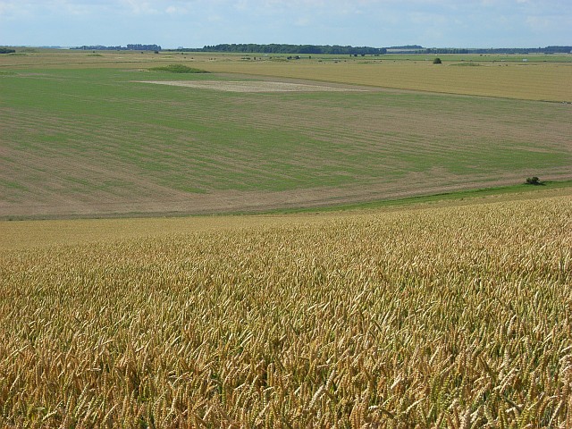
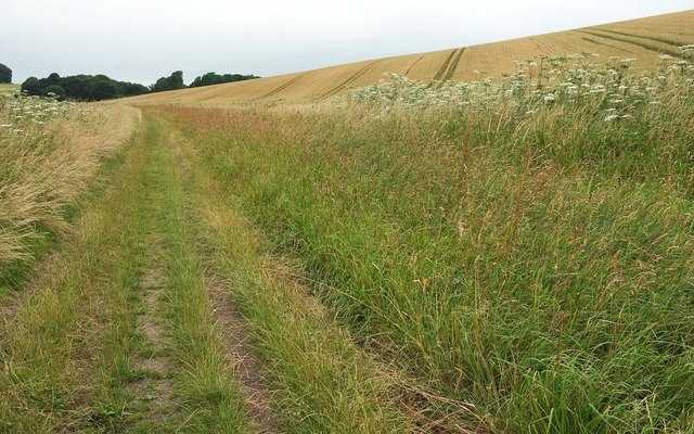
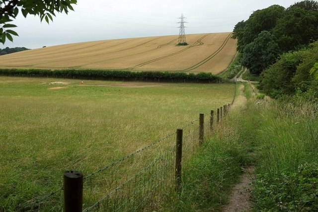
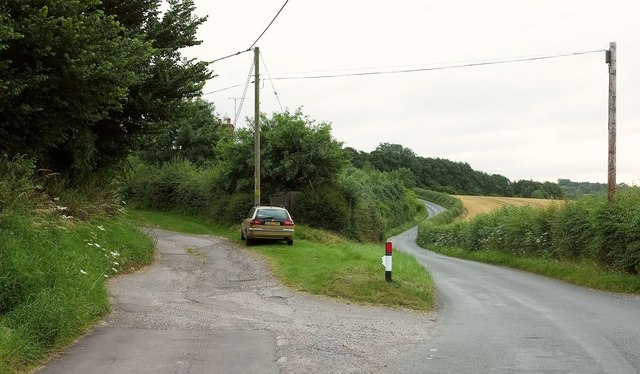
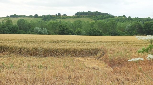
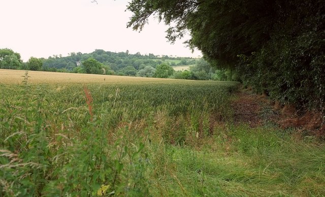
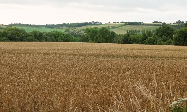
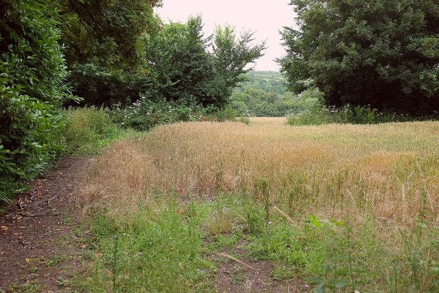
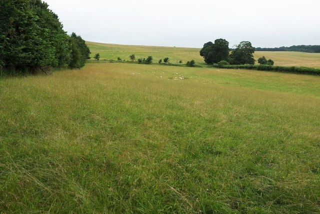
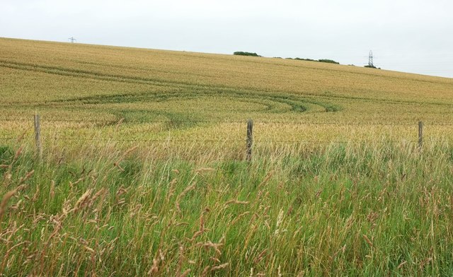
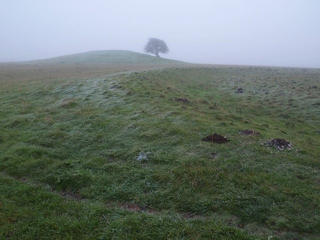
Ash Copse is a dense wooded area located in the county of Wiltshire, England. Covering an approximate area of 50 acres, it is considered one of the most significant forests in the region. The copse is primarily composed of ash trees, which give it its name, although it also contains various other species of trees such as oak, beech, and birch. The forest is characterized by its thick undergrowth, comprising a diverse range of flora and fauna.

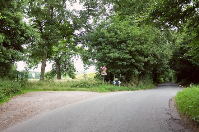
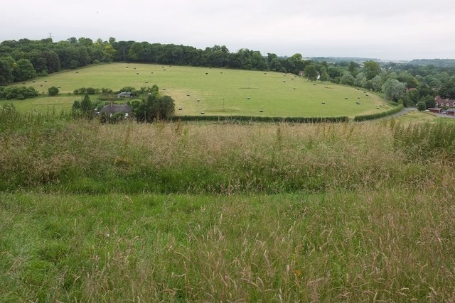
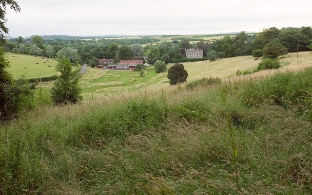
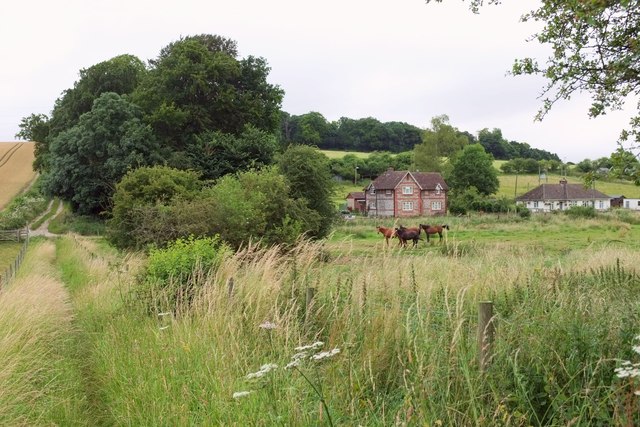
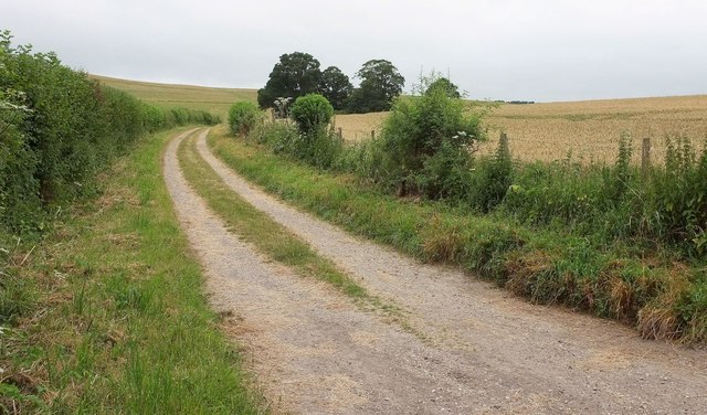
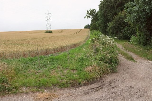
The copse is a popular destination for nature enthusiasts and hikers due to its tranquil and picturesque surroundings. The dense tree canopy provides shade, creating a cool and refreshing atmosphere in the summer months. A network of well-maintained walking trails allows visitors to explore the forest and observe its abundant wildlife, including deer, squirrels, and a variety of bird species.

Ash Copse has a rich history, dating back several centuries. It has been carefully managed and preserved by local authorities, ensuring the protection of its natural beauty and biodiversity. The forest also holds cultural significance, with traces of ancient settlements and archaeological finds discovered within its boundaries.

Visitors to Ash Copse can enjoy picnicking, photography, and simply immersing themselves in the peaceful ambiance of the woodland. The forest provides a welcome escape from the hustle and bustle of urban life, offering a sanctuary for both wildlife and humans alike.

If you have any feedback on the listing, please let us know in the comments section below.

Ash Copse Images

Images are sourced within 2km of 51.143846/-1.8146577 or Grid Reference SU1338. Thanks to Geograph Open Source API. All images are credited.

National Cycle Route 45, Normanton Towards Salisbury.
National Cycle Route 45, Normanton
Towards Salisbury.
Spring Bottom Looking up the dry valley above Springbottom Farm.
Spring Bottom
Looking up the dry valley above Springbottom Farm.
Spring Bottom Arable downland typical of the area around Stonehenge. It is studded with may tumuli. The prominent one across the valley is in the northwest of the grid-square.
Spring Bottom
Arable downland typical of the area around Stonehenge. It is studded with may tumuli. The prominent one across the valley is in the northwest of the grid-square.
Lake Bottom BOAT WCLA 2 runs up the foot of the combe. Hogweed is rampant on both sides.
Lake Bottom
BOAT WCLA 2 runs up the foot of the combe. Hogweed is rampant on both sides.
Lake Bottom In the foreground, footpath WCLA 7 descends from Staircase Plantation to the foot of the combe to the point where the public road from Lake ends, and BOAT WCLA 2 takes over to the left.
Lake Bottom
In the foreground, footpath WCLA 7 descends from Staircase Plantation to the foot of the combe to the point where the public road from Lake ends, and BOAT WCLA 2 takes over to the left.
Turning to Scotland Cottages A very early morning view, showing a driveway to three pairs of semi-detached cottages from the road (used by NCN45) between Upper Woodford and Lake.
Turning to Scotland Cottages
A very early morning view, showing a driveway to three pairs of semi-detached cottages from the road (used by NCN45) between Upper Woodford and Lake.
Avon valley near Great Durnford An early morning view across the valley from the road shown in <a href="https://www.geograph.org.uk/photo/5197077">SU1237 : Turning to Scotland Cottages</a>, with Littledown Clump on the horizon.
Avon valley near Great Durnford
An early morning view across the valley from the road shown in SU1237 : Turning to Scotland Cottages, with Littledown Clump on the horizon.
Wheat near Great Durnford The trees on the right line footpath WFOR 12 which drops to the Avon at Durnford Mill.
Wheat near Great Durnford
The trees on the right line footpath WFOR 12 which drops to the Avon at Durnford Mill.
Towards the Avon valley A field of ripening wheat seen in early morning light. The houses across the valley are at Great Durnford.
Towards the Avon valley
A field of ripening wheat seen in early morning light. The houses across the valley are at Great Durnford.
Wheat by Lake Hill Cottages From the road from Upper Woodford. Bridleway WCLA 6 runs along the belt of trees through which there is an opening revealing the Avon valley.
Wheat by Lake Hill Cottages
From the road from Upper Woodford. Bridleway WCLA 6 runs along the belt of trees through which there is an opening revealing the Avon valley.
Road past Lake Hill Cottages The road from Upper Woodford passes two footpaths on the left and a bridleway on the right here and then begins a descent to Lake in the Avon Valley. It's early morning and the light isn't great.
Road past Lake Hill Cottages
The road from Upper Woodford passes two footpaths on the left and a bridleway on the right here and then begins a descent to Lake in the Avon Valley. It's early morning and the light isn't great.
Lake Bottom Looking across the valley from footpath WCLA 7. The hamlet of Lake is on the right where the side valley meets the Avon valley. The wood up the slope is Hill Plantation.
Lake Bottom
Looking across the valley from footpath WCLA 7. The hamlet of Lake is on the right where the side valley meets the Avon valley. The wood up the slope is Hill Plantation.
Towards Lake Like <a href="https://www.geograph.org.uk/photo/5197320">SU1338 : Lake Bottom</a>, an early morning view from footpath WCLA 7, looking down Lake Bottom to the hamlet. Lake House <a href="https://www.geograph.org.uk/photo/2777394">SU1338 : Lake House in 1988</a>, right of centre, is grade I listed <span class="nowrap"><a title="https://www.historicengland.org.uk/listing/the-list/list-entry/1183238" rel="nofollow ugc noopener" href="https://www.historicengland.org.uk/listing/the-list/list-entry/1183238">Link</a><img style="margin-left:2px;" alt="External link" title="External link - shift click to open in new window" src="https://s1.geograph.org.uk/img/external.png" width="10" height="10"/></span> .
Towards Lake
Like SU1338 : Lake Bottom, an early morning view from footpath WCLA 7, looking down Lake Bottom to the hamlet. Lake House SU1338 : Lake House in 1988, right of centre, is grade I listed LinkExternal link .
Sheep pasture, Lake Bottom Looking left from the same spot as <a href="https://www.geograph.org.uk/photo/5038437">SU1238 : Lake Bottom</a>. On the left is Staircase Plantation.
Sheep pasture, Lake Bottom
Looking left from the same spot as SU1238 : Lake Bottom. On the left is Staircase Plantation.
Lake Bottom Houses along the lane up the valley, with a thin extension of Hill Plantation to the left.
Lake Bottom
Houses along the lane up the valley, with a thin extension of Hill Plantation to the left.
Byway, Lake Bottom BOAT WCLA 3 follows this track up the dry valley.
Byway, Lake Bottom
BOAT WCLA 3 follows this track up the dry valley.
Track past Hill Plantation Not a right of way. The pylon is in <a href="https://www.geograph.org.uk/gridref/SU1239">SU1239</a>.
Track past Hill Plantation
Not a right of way. The pylon is in SU1239.
Wheat. Lake Bottom With swirls of tramlines. Peeping above the horizon are trees in Hill Plantation and pylons.
Wheat. Lake Bottom
With swirls of tramlines. Peeping above the horizon are trees in Hill Plantation and pylons.
Show me another place!

Ash Copse is located at Grid Ref: SU1338 (Lat: 51.143846, Lng: -1.8146577)

Unitary Authority: Wiltshire

Police Authority: Wiltshire

What 3 Words

///irrigated.gagging.shuttling. Near Durnford, Wiltshire

Related Wikis

Durnford, Wiltshire

Durnford is a civil parish in Wiltshire, England, between Salisbury and Amesbury. It lies in the Woodford Valley and is bounded to the west by the Salisbury...

Lake House

Lake House is an Elizabethan country house dating from 1578, in Wilsford cum Lake in Wiltshire, England, about seven miles north of Salisbury. It is a...

Salisbury Plain

Salisbury Plain is a chalk plateau in southern England covering 300 square miles (780 km2). It is part of a system of chalk downlands throughout eastern...

Woodford, Wiltshire

Woodford is a civil parish in southern-central Wiltshire, England, on the west bank of the Salisbury Avon, about 4 miles (6 km) north of Salisbury. Its...

Wilsford cum Lake

Wilsford cum Lake is a civil parish in the Woodford valley in Wiltshire, England. The parish is bounded to the east by the Salisbury Avon and contains...

Normanton Down Barrows

Normanton Down is a Neolithic and Bronze Age barrow cemetery, about 0.6 miles (1 km) south of Stonehenge in Wiltshire, England. The burials date from...
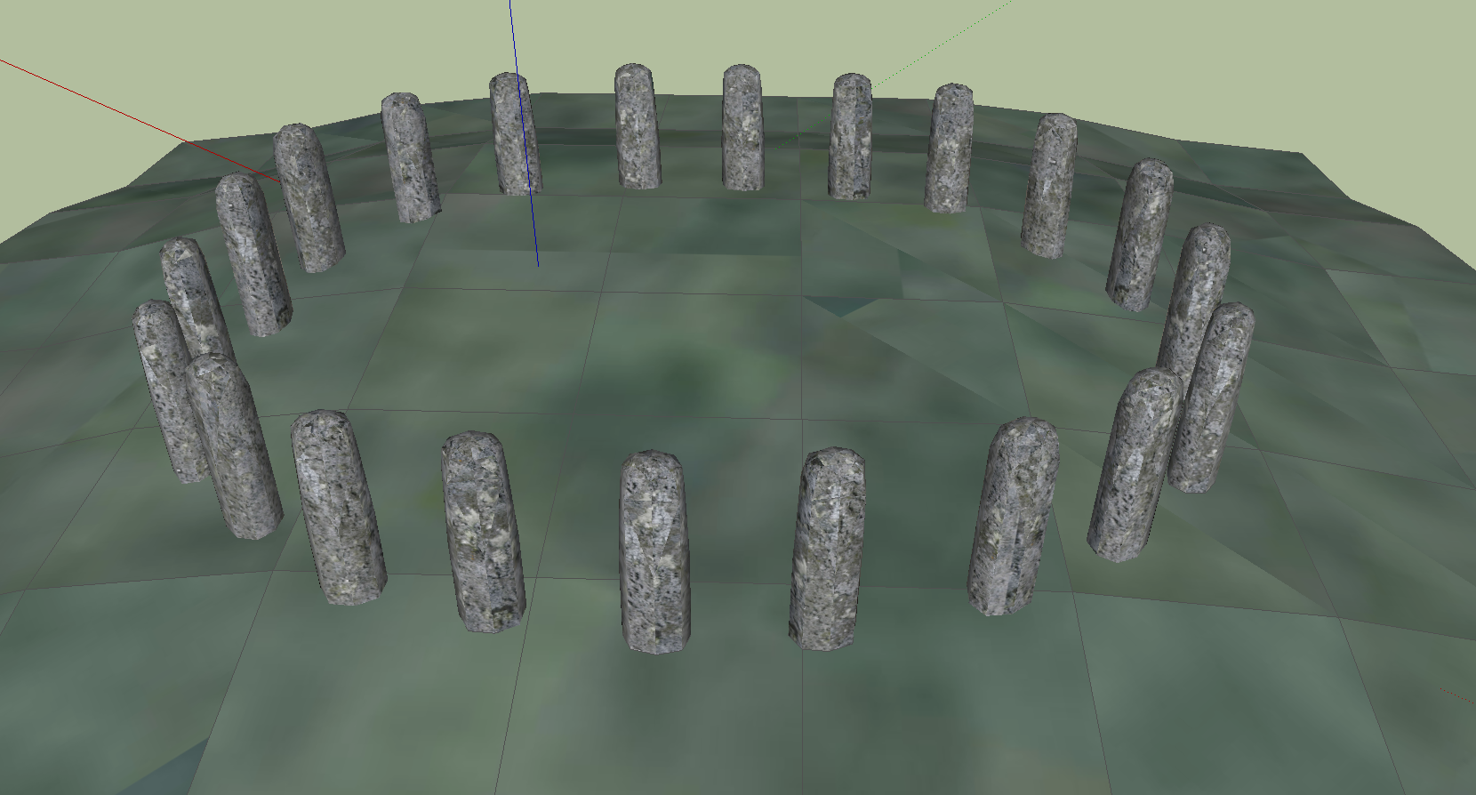
Bluestonehenge

Bluestonehenge or Bluehenge (also known as West Amesbury Henge) is a prehistoric henge and stone circle monument that was discovered by the Stonehenge...

Bush Barrow

Bush Barrow is a site of the early British Bronze Age Wessex culture (c. 2000 BC), at the western end of the Normanton Down Barrows cemetery in Wiltshire...

Nearby Amenities

Located within 500m of 51.143846,-1.8146577
Power: tower
Source: yahoo
Lat/Long: 51.1421808/-1.8209193
Power: tower
Source: yahoo
Lat/Long: 51.144628/-1.8202476
Power: tower
Source: yahoo
Lat/Long: 51.1466525/-1.8193979
Waterway: weir
Lat/Long: 51.1402223/-1.8110728
Barrier: stile
Lat/Long: 51.1465816/-1.8127223
Power: pole
Lat/Long: 51.148054/-1.8131279
Power: pole
Lat/Long: 51.1476872/-1.8129455
Power: pole
Lat/Long: 51.1473591/-1.812798
Power: pole
Lat/Long: 51.1469435/-1.8126129
The data included in this document is from www.openstreetmap.org. The data is made available under ODbL.

Have you been to Ash Copse?

Leave your review of Ash Copse below (or comments, questions and feedback).