Lake House
Heritage Site in Wiltshire
England
Lake House
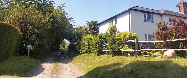
Lake House is a remarkable heritage site located in the picturesque county of Wiltshire, England. Situated on the edge of a tranquil lake, this historic building holds significant architectural and historical importance. The house, constructed in the early 19th century, showcases stunning Georgian design elements and offers a glimpse into the lifestyle of the affluent during this era.
The exterior of Lake House boasts an elegant symmetrical façade, adorned with sash windows and a grand entrance. The surrounding parkland, meticulously landscaped, enhances the beauty of the property. The interior of the house is equally impressive, with its ornate plasterwork, intricate woodwork, and period furniture. It serves as a testament to the craftsmanship and opulence of the time.
Lake House has witnessed various historical events throughout its existence. It was once the residence of a prominent local industrialist, who played a significant role in the industrial development of the region. The house has also been associated with notable figures, including renowned artists and writers, who sought inspiration in its serene surroundings.
Today, Lake House is open to the public as a heritage site, offering visitors a rare opportunity to explore its rich history and architectural splendor. Guided tours provide insight into the lives of the former residents and their contributions to the local community. The tranquil lake and well-maintained gardens surrounding the house provide a serene setting for visitors to relax and enjoy the natural beauty of the area.
Lake House, with its Georgian charm, historical significance, and idyllic location, stands as a testament to the past and offers a captivating experience for all who visit.
If you have any feedback on the listing, please let us know in the comments section below.
Lake House Images
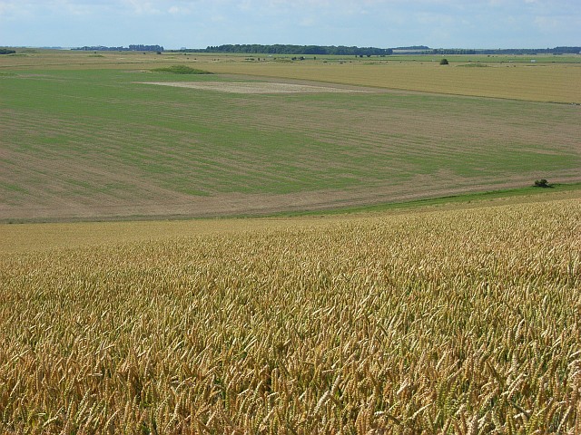
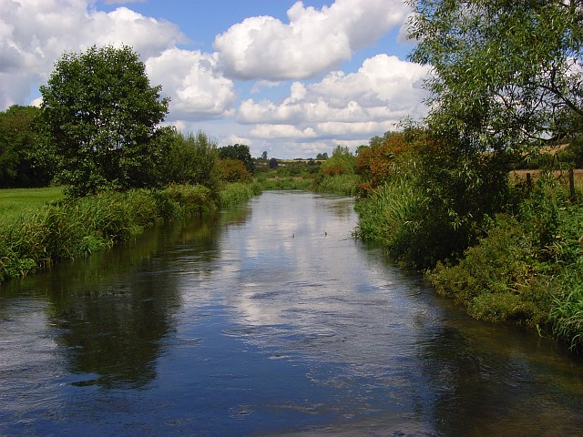
Images are sourced within 2km of 51.145/-1.807 or Grid Reference SU1338. Thanks to Geograph Open Source API. All images are credited.


Lake House is located at Grid Ref: SU1338 (Lat: 51.145, Lng: -1.807)
Unitary Authority: Wiltshire
Police Authority: Wiltshire
What 3 Words
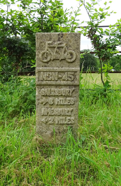
///chapels.dumpling.stung. Near Durnford, Wiltshire
Nearby Locations
Related Wikis
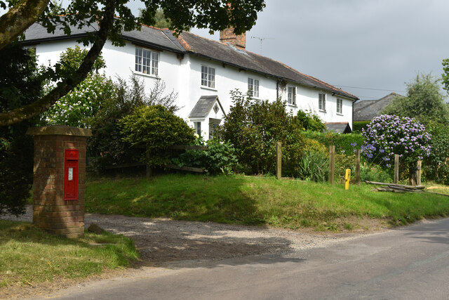
Durnford, Wiltshire
Durnford is a civil parish in Wiltshire, England, between Salisbury and Amesbury. It lies in the Woodford Valley and is bounded to the west by the Salisbury...

Lake House
Lake House is an Elizabethan country house dating from 1578, in Wilsford cum Lake in Wiltshire, England, about 7 miles (11 km) north of Salisbury. It is...

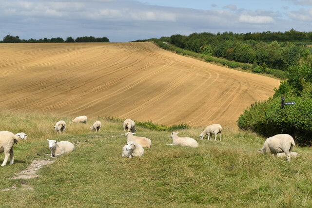
Salisbury Plain
Salisbury Plain is a chalk plateau in southern England covering 300 square miles (780 km2). It is part of a system of chalk downlands throughout eastern...
Wilsford cum Lake
Wilsford cum Lake is a civil parish in the Woodford valley in Wiltshire, England. The parish is bounded to the east by the Salisbury Avon and contains...
Nearby Amenities
Located within 500m of 51.145,-1.807Have you been to Lake House?
Leave your review of Lake House below (or comments, questions and feedback).