Durnford, Great

Settlement in Wiltshire

England

Durnford, Great

Lake Bottom BOAT WCLA 2 runs up the foot of the combe. Hogweed is rampant on both sides.
Lake Bottom Credit: Derek Harper

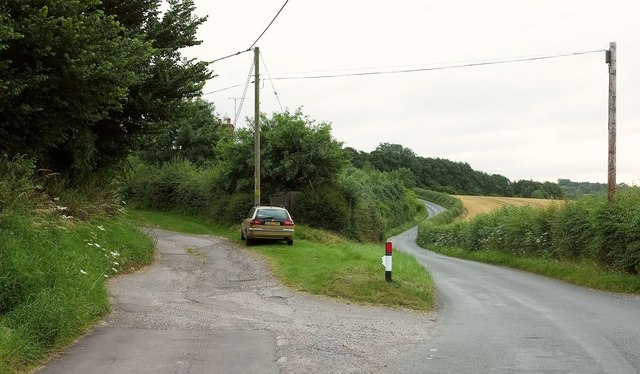
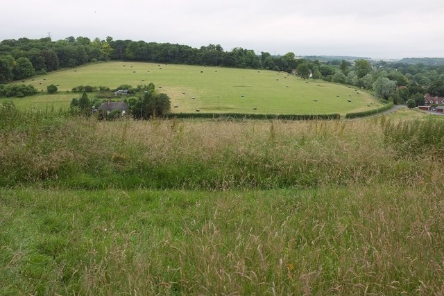
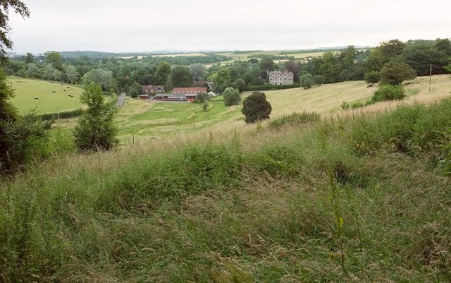
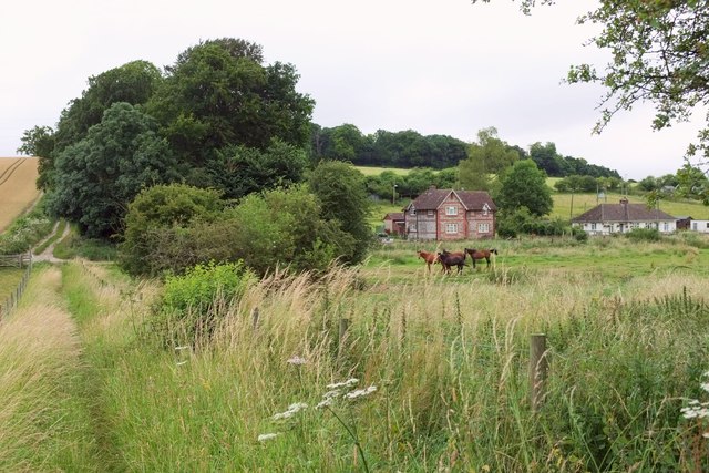
Durnford is a small village located in the county of Wiltshire, England. Situated near the River Avon and nestled in the picturesque countryside, it is a quintessential English village with a population of around 200 residents.

The village of Durnford is known for its rich history, dating back to the Roman times when it was a strategic settlement along the River Avon. The remains of a Roman villa were discovered in the area, highlighting its historical significance. Today, Durnford retains much of its charm and character, with many of its buildings boasting traditional thatched roofs and stone walls.

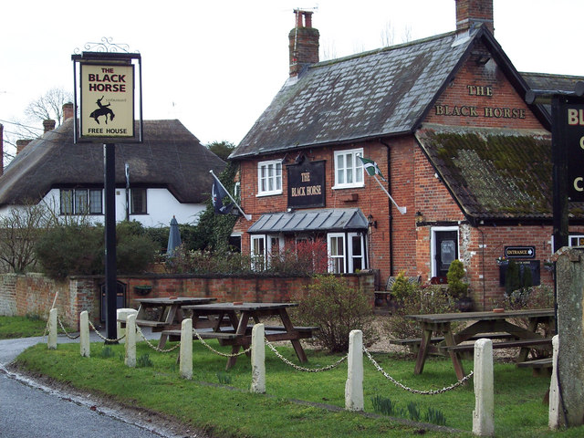
The village is home to a small but vibrant community. It has a local pub, The Durnford Arms, which serves as a popular meeting place for both locals and visitors. The village also has a primary school, providing education to the young residents of the area.

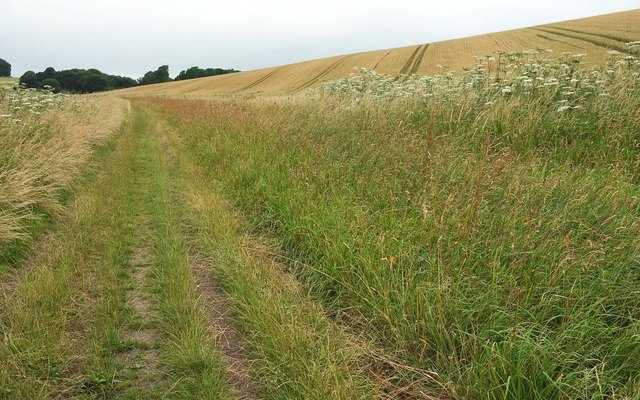
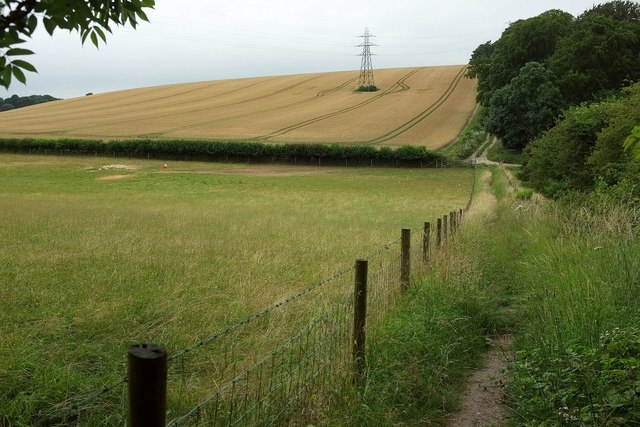
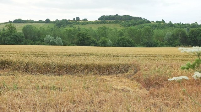
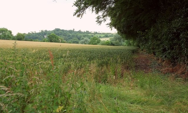
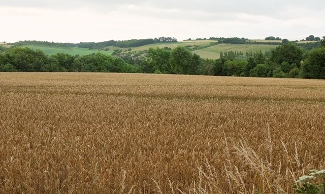
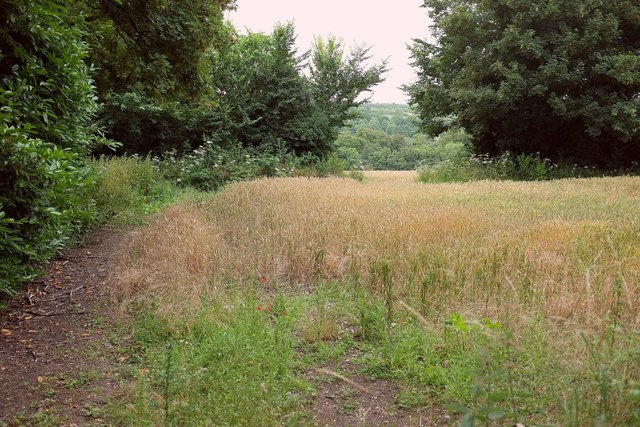
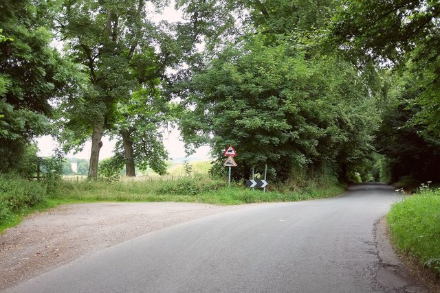
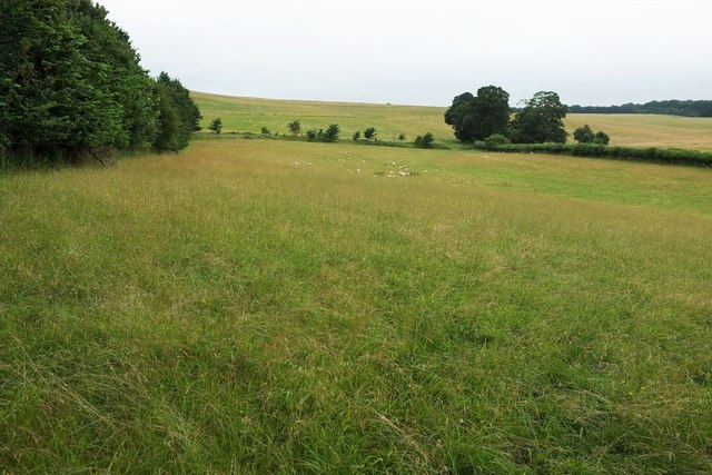
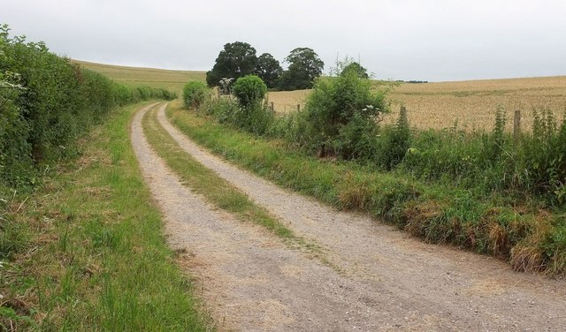
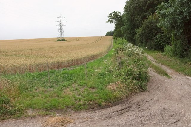
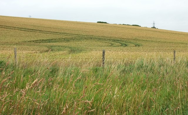
Surrounded by beautiful countryside, Durnford offers ample opportunities for outdoor activities. The River Avon is a popular spot for fishing and boating enthusiasts, while the surrounding fields and woodlands provide scenic walking and hiking trails.

Durnford's location also makes it an ideal base for exploring the wider Wiltshire area. The historic city of Salisbury is just a short drive away, offering attractions such as Salisbury Cathedral and Stonehenge. Additionally, the nearby Salisbury Plain is a renowned spot for military training exercises and is popular among nature lovers.

In conclusion, Durnford is a picturesque and historic village in Wiltshire, England. With its charming architecture, close-knit community, and scenic surroundings, it offers a peaceful and idyllic setting for residents and visitors alike.

If you have any feedback on the listing, please let us know in the comments section below.

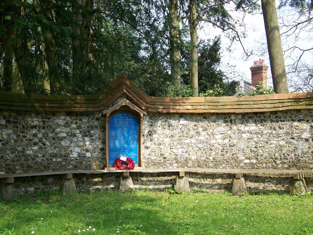
Durnford, Great Images

Images are sourced within 2km of 51.141675/-1.803417 or Grid Reference SU1338. Thanks to Geograph Open Source API. All images are credited.

Lake Bottom BOAT WCLA 2 runs up the foot of the combe. Hogweed is rampant on both sides.
Lake Bottom
BOAT WCLA 2 runs up the foot of the combe. Hogweed is rampant on both sides.
Lake Bottom In the foreground, footpath WCLA 7 descends from Staircase Plantation to the foot of the combe to the point where the public road from Lake ends, and BOAT WCLA 2 takes over to the left.
Lake Bottom
In the foreground, footpath WCLA 7 descends from Staircase Plantation to the foot of the combe to the point where the public road from Lake ends, and BOAT WCLA 2 takes over to the left.
Turning to Scotland Cottages A very early morning view, showing a driveway to three pairs of semi-detached cottages from the road (used by NCN45) between Upper Woodford and Lake.
Turning to Scotland Cottages
A very early morning view, showing a driveway to three pairs of semi-detached cottages from the road (used by NCN45) between Upper Woodford and Lake.
Avon valley near Great Durnford An early morning view across the valley from the road shown in <a href="https://www.geograph.org.uk/photo/5197077">SU1237 : Turning to Scotland Cottages</a>, with Littledown Clump on the horizon.
Avon valley near Great Durnford
An early morning view across the valley from the road shown in SU1237 : Turning to Scotland Cottages, with Littledown Clump on the horizon.
Wheat near Great Durnford The trees on the right line footpath WFOR 12 which drops to the Avon at Durnford Mill.
Wheat near Great Durnford
The trees on the right line footpath WFOR 12 which drops to the Avon at Durnford Mill.
Towards the Avon valley A field of ripening wheat seen in early morning light. The houses across the valley are at Great Durnford.
Towards the Avon valley
A field of ripening wheat seen in early morning light. The houses across the valley are at Great Durnford.
Wheat by Lake Hill Cottages From the road from Upper Woodford. Bridleway WCLA 6 runs along the belt of trees through which there is an opening revealing the Avon valley.
Wheat by Lake Hill Cottages
From the road from Upper Woodford. Bridleway WCLA 6 runs along the belt of trees through which there is an opening revealing the Avon valley.
Road past Lake Hill Cottages The road from Upper Woodford passes two footpaths on the left and a bridleway on the right here and then begins a descent to Lake in the Avon Valley. It's early morning and the light isn't great.
Road past Lake Hill Cottages
The road from Upper Woodford passes two footpaths on the left and a bridleway on the right here and then begins a descent to Lake in the Avon Valley. It's early morning and the light isn't great.
Lake Bottom Looking across the valley from footpath WCLA 7. The hamlet of Lake is on the right where the side valley meets the Avon valley. The wood up the slope is Hill Plantation.
Lake Bottom
Looking across the valley from footpath WCLA 7. The hamlet of Lake is on the right where the side valley meets the Avon valley. The wood up the slope is Hill Plantation.
Towards Lake Like <a href="https://www.geograph.org.uk/photo/5197320">SU1338 : Lake Bottom</a>, an early morning view from footpath WCLA 7, looking down Lake Bottom to the hamlet. Lake House <a href="https://www.geograph.org.uk/photo/2777394">SU1338 : Lake House in 1988</a>, right of centre, is grade I listed <span class="nowrap"><a title="https://www.historicengland.org.uk/listing/the-list/list-entry/1183238" rel="nofollow ugc noopener" href="https://www.historicengland.org.uk/listing/the-list/list-entry/1183238">Link</a><img style="margin-left:2px;" alt="External link" title="External link - shift click to open in new window" src="https://s1.geograph.org.uk/img/external.png" width="10" height="10"/></span> .
Towards Lake
Like SU1338 : Lake Bottom, an early morning view from footpath WCLA 7, looking down Lake Bottom to the hamlet. Lake House SU1338 : Lake House in 1988, right of centre, is grade I listed LinkExternal link .
Sheep pasture, Lake Bottom Looking left from the same spot as <a href="https://www.geograph.org.uk/photo/5038437">SU1238 : Lake Bottom</a>. On the left is Staircase Plantation.
Sheep pasture, Lake Bottom
Looking left from the same spot as SU1238 : Lake Bottom. On the left is Staircase Plantation.
Lake Bottom Houses along the lane up the valley, with a thin extension of Hill Plantation to the left.
Lake Bottom
Houses along the lane up the valley, with a thin extension of Hill Plantation to the left.
Byway, Lake Bottom BOAT WCLA 3 follows this track up the dry valley.
Byway, Lake Bottom
BOAT WCLA 3 follows this track up the dry valley.
Track past Hill Plantation Not a right of way. The pylon is in <a href="https://www.geograph.org.uk/gridref/SU1239">SU1239</a>.
Track past Hill Plantation
Not a right of way. The pylon is in SU1239.
Wheat. Lake Bottom With swirls of tramlines. Peeping above the horizon are trees in Hill Plantation and pylons.
Wheat. Lake Bottom
With swirls of tramlines. Peeping above the horizon are trees in Hill Plantation and pylons.
Lake Bottom The sign on the right indicates footpath WCLA 7. Ahead begins a public road down the valley to Lake. <a href="https://www.geograph.org.uk/photo/5197455">SU1238 : Track past Hill Plantation</a> looks up a track to the left here.
Lake Bottom
The sign on the right indicates footpath WCLA 7. Ahead begins a public road down the valley to Lake. SU1238 : Track past Hill Plantation looks up a track to the left here.
Lake Bottom A reverse view of <a href="https://www.geograph.org.uk/photo/5197494">SU1238 : Lake Bottom</a>, with BOAT WCLA 3 continuing the line of the no through road up the valley, and Staircase Plantation on the left. On the horizon is Rox Hill Clump.
Lake Bottom
A reverse view of SU1238 : Lake Bottom, with BOAT WCLA 3 continuing the line of the no through road up the valley, and Staircase Plantation on the left. On the horizon is Rox Hill Clump.
Towards Lake House From the no through road along Lake Bottom, with the grade I listed house <a href="https://www.geograph.org.uk/photo/2777394">SU1338 : Lake House in 1988</a> <span class="nowrap"><a title="https://www.historicengland.org.uk/listing/the-list/list-entry/1183238" rel="nofollow ugc noopener" href="https://www.historicengland.org.uk/listing/the-list/list-entry/1183238">Link</a><img style="margin-left:2px;" alt="External link" title="External link - shift click to open in new window" src="https://s1.geograph.org.uk/img/external.png" width="10" height="10"/></span> in the centre.
Towards Lake House
From the no through road along Lake Bottom, with the grade I listed house SU1338 : Lake House in 1988 LinkExternal link in the centre.
Show me another place!

Durnford, Great is located at Grid Ref: SU1338 (Lat: 51.141675, Lng: -1.803417)

Unitary Authority: Wiltshire

Police Authority: Wiltshire

What 3 Words

///points.unicorns.brain. Near Durnford, Wiltshire

Related Wikis

Durnford, Wiltshire

Durnford is a civil parish in Wiltshire, England, between Salisbury and Amesbury. It lies in the Woodford Valley and is bounded to the west by the Salisbury...

Lake House

Lake House is an Elizabethan country house dating from 1578, in Wilsford cum Lake in Wiltshire, England, about seven miles north of Salisbury. It is a...

Salisbury Plain

Salisbury Plain is a chalk plateau in southern England covering 300 square miles (780 km2). It is part of a system of chalk downlands throughout eastern...

Woodford, Wiltshire

Woodford is a civil parish in southern-central Wiltshire, England, on the west bank of the Salisbury Avon, about 4 miles (6 km) north of Salisbury. Its...

Wilsford cum Lake

Wilsford cum Lake is a civil parish in the Woodford valley in Wiltshire, England. The parish is bounded to the east by the Salisbury Avon and contains...

Bluestonehenge

Bluestonehenge or Bluehenge (also known as West Amesbury Henge) is a prehistoric henge and stone circle monument that was discovered by the Stonehenge...

Coneybury Henge

Coneybury Henge is a henge which is part of the Stonehenge Landscape in Wiltshire, England. The henge, which has been almost completely flattened, was...

Coneybury Anomaly

The Coneybury Anomaly is a pit with animal and other refuse, interpreted as the remains of a cross-cultural feast, within the Stonehenge Landscape in Wiltshire...

Nearby Amenities

Located within 500m of 51.141675,-1.803417
Post Box
Collection Times: Mo-Fr 16:30; Sa 10:00
Post Box Type: lamp
Ref: SP4 420
Royal Cypher: EIIR
Royal Cypher Wikidata: Q33102113
Lat/Long: 51.1441848/-1.8050354
Barrier: stile
Lat/Long: 51.1419542/-1.8018552
Post Box
Collection Times: Mo-Fr 16:30; Sa 10:00
Post Box Type: lamp
Ref: SP4 249
Royal Cypher: EIIR
Royal Cypher Wikidata: Q33102113
Lat/Long: 51.1408056/-1.8059014
Entrance: main
Lat/Long: 51.1440831/-1.8063659
Barrier: stile
Lat/Long: 51.1403566/-1.8036525
Great Durnford
Place: village
Lat/Long: 51.1427022/-1.8060451
Telephone
Booth: K6
Covered: booth
Listed Status: Grade II
Phone: +44 1722 782211
Lat/Long: 51.1433897/-1.8053533
Bench
Dundford AD parish bench
Backrest: yes
Lat/Long: 51.1432967/-1.8067534
The data included in this document is from www.openstreetmap.org. The data is made available under ODbL.

Have you been to Durnford, Great?

Leave your review of Durnford, Great below (or comments, questions and feedback).