Oak Belt
Wood, Forest in Wiltshire
England
Oak Belt
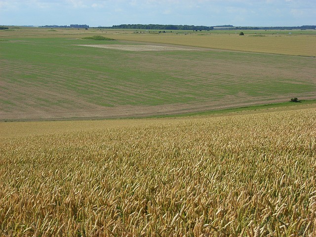
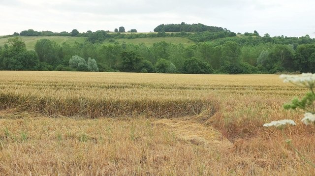
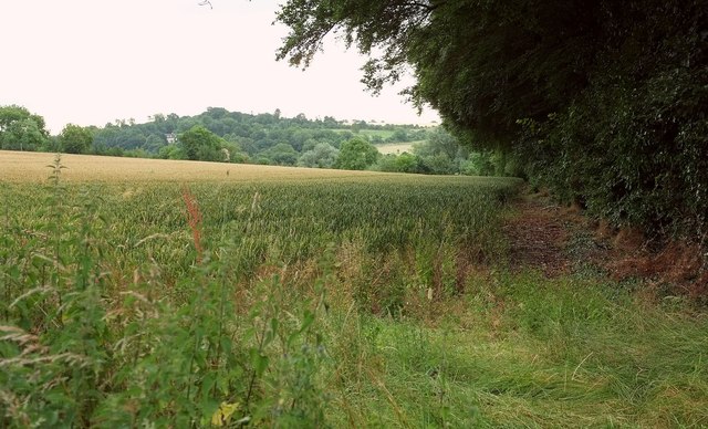
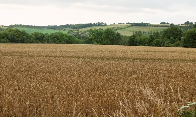
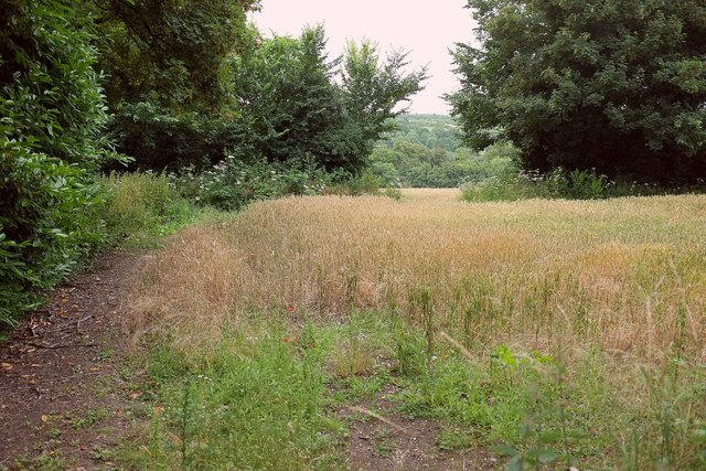
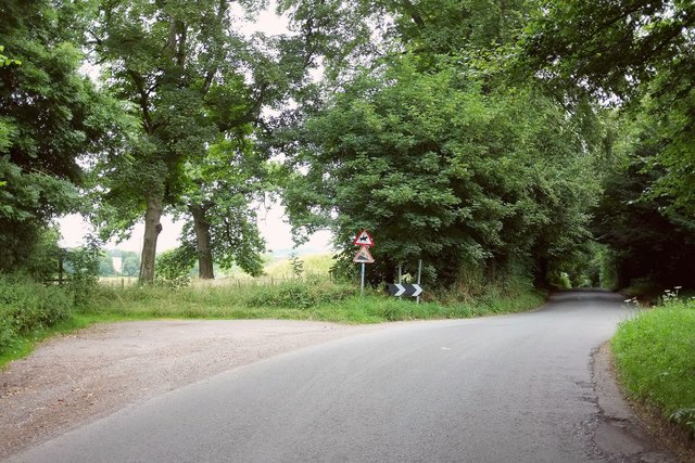
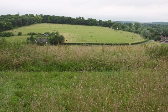
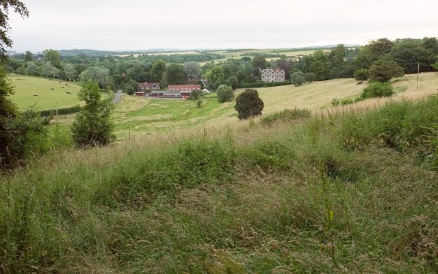
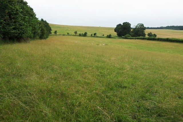
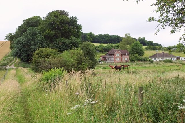
Oak Belt is a woodland located in the county of Wiltshire, England. Stretching across a vast area, it is a prominent forest that is known for its abundance of oak trees. The forest is situated in a picturesque setting, surrounded by rolling hills and lush green landscapes.
The oak trees in Oak Belt are of significant importance and have been well-preserved over the years. They are known for their grandeur and sturdy trunks, reaching impressive heights. The forest is home to a diverse range of flora and fauna, with various species of plants and animals thriving within its boundaries.
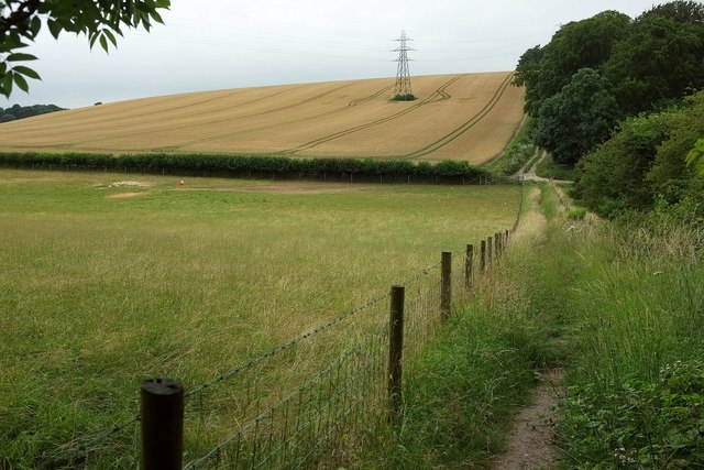
The woodland provides a haven for wildlife, attracting a variety of bird species, mammals, and insects. It serves as an important habitat for numerous animals, including deer, badgers, foxes, and a wide array of birdlife. The forest also boasts a rich biodiversity, with a multitude of plant species, wildflowers, and fungi that contribute to its natural beauty.
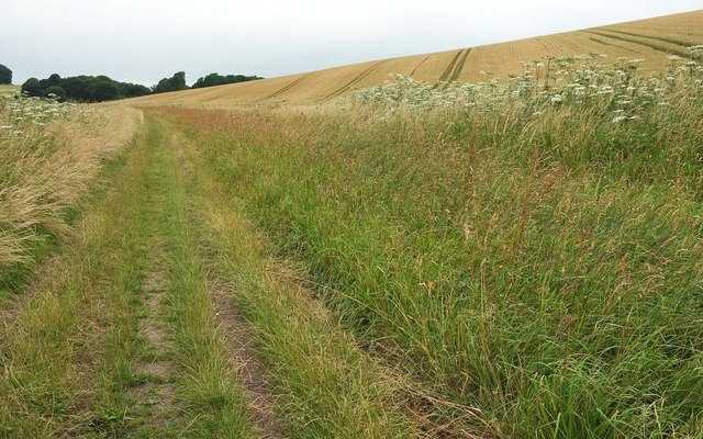
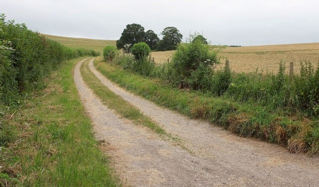
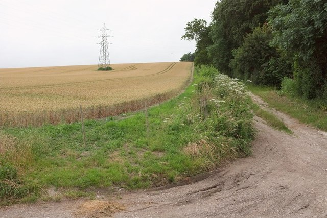
Oak Belt offers a tranquil and serene environment, making it a popular destination for nature enthusiasts, hikers, and photographers. The forest provides ample opportunities for outdoor activities such as walking, cycling, and birdwatching. It also features several well-maintained trails and picnic spots, allowing visitors to immerse themselves in the beauty of nature.
Overall, Oak Belt in Wiltshire is a remarkable woodland that showcases the beauty of oak trees and supports a diverse range of wildlife. It is a cherished natural asset in the region, attracting visitors from near and far who seek solace in its serene surroundings and appreciate the wonders of the natural world.
If you have any feedback on the listing, please let us know in the comments section below.
Oak Belt Images
Images are sourced within 2km of 51.143359/-1.8141593 or Grid Reference SU1338. Thanks to Geograph Open Source API. All images are credited.


Oak Belt is located at Grid Ref: SU1338 (Lat: 51.143359, Lng: -1.8141593)
Unitary Authority: Wiltshire
Police Authority: Wiltshire
What 3 Words
///pokes.cone.backhand. Near Durnford, Wiltshire
Nearby Locations
Related Wikis
Durnford, Wiltshire
Durnford is a civil parish in Wiltshire, England, between Salisbury and Amesbury. It lies in the Woodford Valley and is bounded to the west by the Salisbury...

Lake House
Lake House is an Elizabethan country house dating from 1578, in Wilsford cum Lake in Wiltshire, England, about seven miles north of Salisbury. It is a...

Woodford, Wiltshire
Woodford is a civil parish in southern-central Wiltshire, England, on the west bank of the Salisbury Avon, about 4 miles (6 km) north of Salisbury. Its...

Salisbury Plain
Salisbury Plain is a chalk plateau in southern England covering 300 square miles (780 km2). It is part of a system of chalk downlands throughout eastern...
Wilsford cum Lake
Wilsford cum Lake is a civil parish in the Woodford valley in Wiltshire, England. The parish is bounded to the east by the Salisbury Avon and contains...

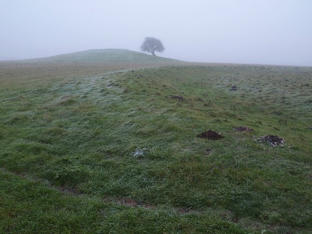
Normanton Down Barrows
Normanton Down is a Neolithic and Bronze Age barrow cemetery, about 0.6 miles (1 km) south of Stonehenge in Wiltshire, England. The burials date from...
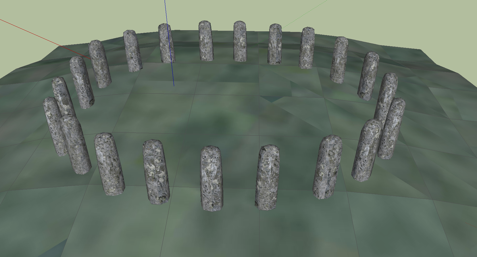
Bluestonehenge
Bluestonehenge or Bluehenge (also known as West Amesbury Henge) is a prehistoric henge and stone circle monument that was discovered by the Stonehenge...
Bush Barrow
Bush Barrow is a site of the early British Bronze Age Wessex culture (c. 2000 BC), at the western end of the Normanton Down Barrows cemetery in Wiltshire...
Nearby Amenities
Located within 500m of 51.143359,-1.8141593Have you been to Oak Belt?
Leave your review of Oak Belt below (or comments, questions and feedback).