Byerside Wood
Wood, Forest in Durham
England
Byerside Wood
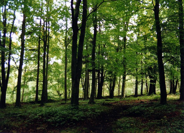
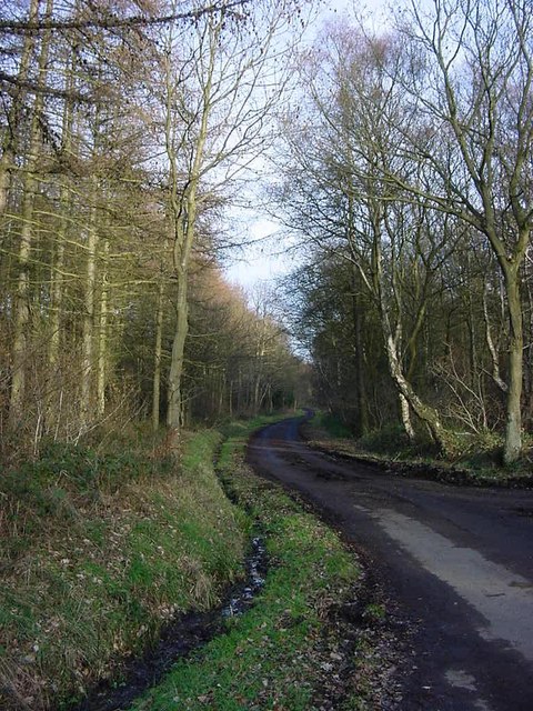
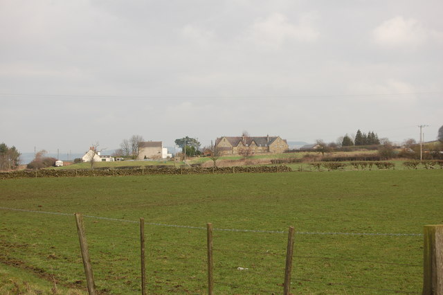
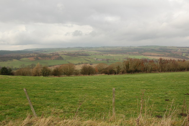
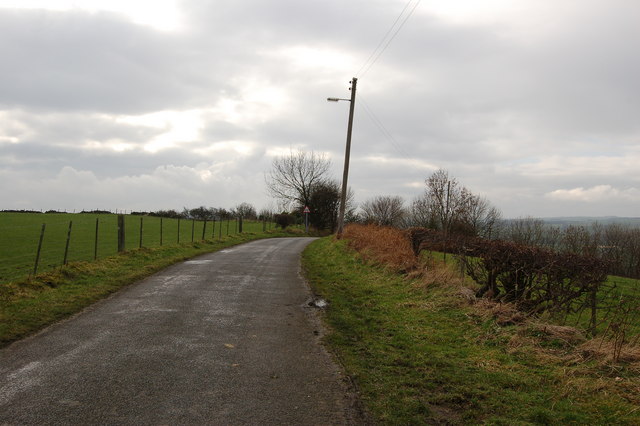
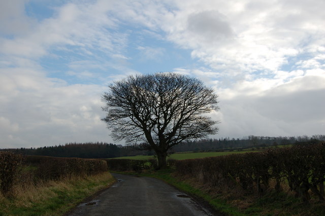
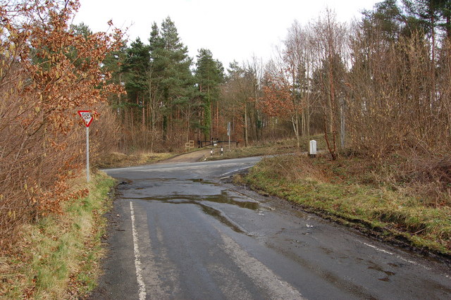
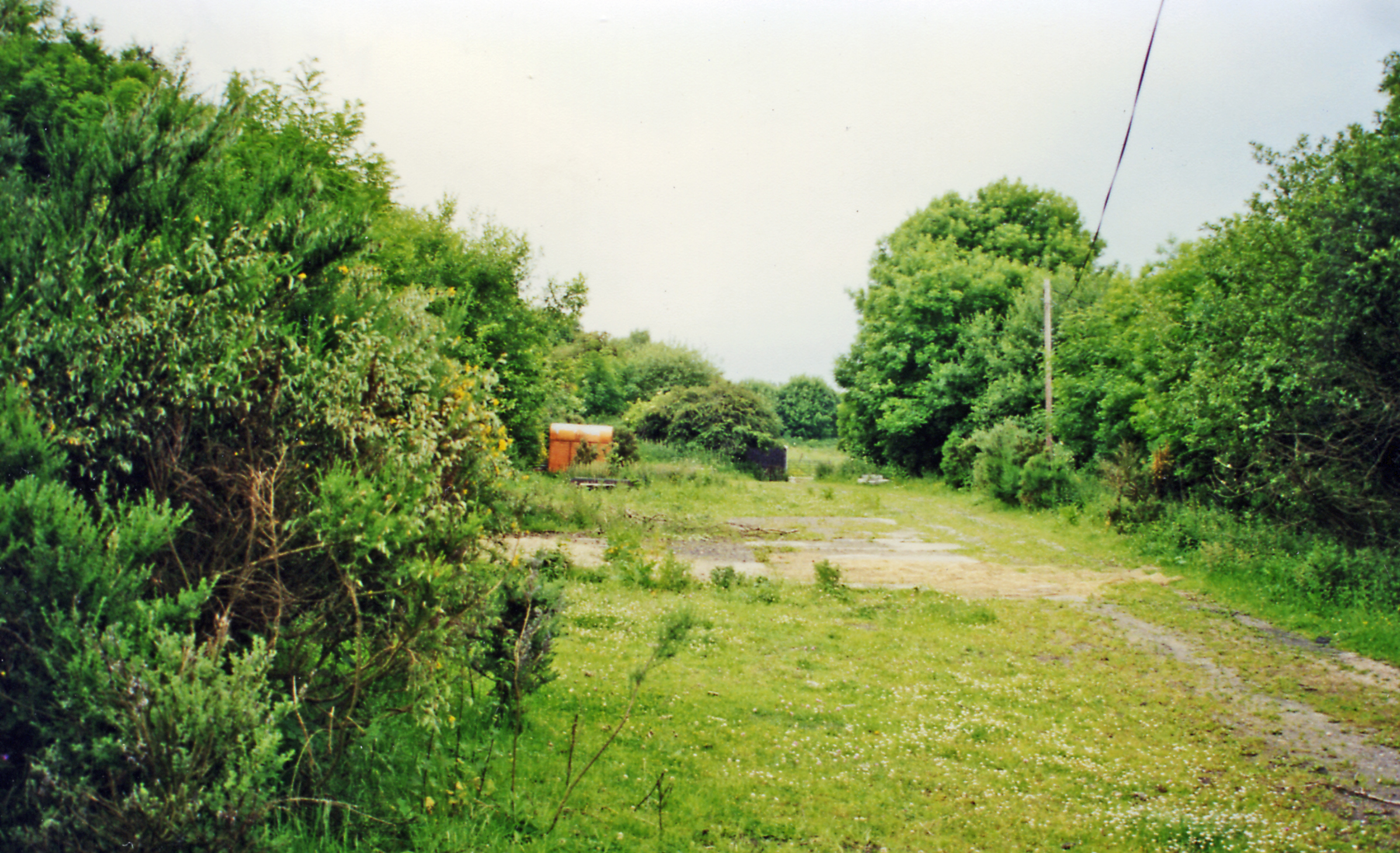
Byerside Wood is a picturesque woodland located in Durham, England. Situated on the outskirts of the village of Byerside, this enchanting forest covers an area of approximately 100 acres. It is renowned for its natural beauty and diverse flora and fauna, making it a popular destination for nature enthusiasts and hikers.
The wood is primarily composed of towering oak and beech trees, which provide a dense canopy that filters sunlight, creating a magical ambiance within. The forest floor is adorned with a carpet of bluebells during the spring season, creating a breathtaking spectacle of vibrant colors. Other native plants and wildflowers, such as primroses and violets, add to the visual splendor of the woodland.
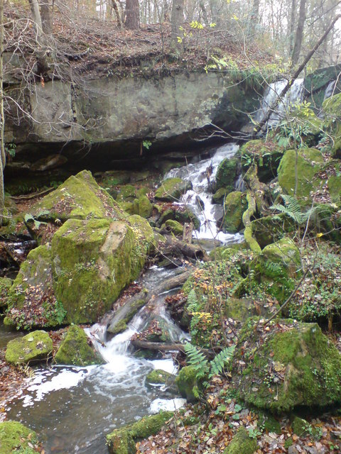
Byerside Wood offers a haven for wildlife, with a wide range of species calling it their home. Visitors may have the opportunity to spot red squirrels, foxes, badgers, and a variety of bird species, including woodpeckers and owls. The woodland also supports a rich insect population, including butterflies and beetles.
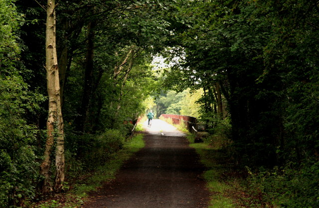
Walking trails have been established throughout the wood, allowing visitors to explore its beauty at their own pace. These well-maintained paths wind through the forest, offering glimpses of hidden glades and tranquil streams. The wood also boasts a small picnic area, providing an excellent spot for visitors to relax and enjoy the serenity of the surroundings.
Byerside Wood is an idyllic natural retreat, offering a chance to escape the hustle and bustle of everyday life and immerse oneself in the tranquility of nature. Its captivating beauty and abundant wildlife make it a truly special place to visit.
If you have any feedback on the listing, please let us know in the comments section below.
Byerside Wood Images
Images are sourced within 2km of 54.899155/-1.7978819 or Grid Reference NZ1356. Thanks to Geograph Open Source API. All images are credited.


Byerside Wood is located at Grid Ref: NZ1356 (Lat: 54.899155, Lng: -1.7978819)
Unitary Authority: County Durham
Police Authority: Durham
What 3 Words
///navigate.sunbeam.giggles. Near Chopwell, Tyne & Wear
Related Wikis

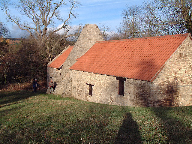
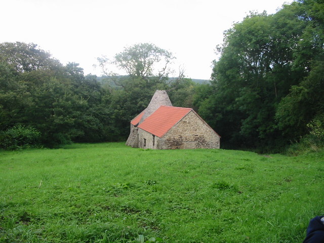
Derwentcote Steel Furnace
Derwentcote Steel Furnace (grid reference NZ131566), Rowlands Gill, near Newcastle upon Tyne, England, built in 1720, is an example of an early cementation...

Hamsterley Mill
Hamsterley Mill is a village in County Durham, around 3 miles from Burnopfield and approximately the same distance from Consett.
Hamsterley, Consett
Hamsterley is a village in County Durham, England. It is situated to the north of Consett and borders the hamlet of Low Westwood. == Colliery == It was...
Hamsterley Hall
Hamsterley Hall is an 18th-century English country house at Hamsterley, Rowlands Gill, County Durham, England. It is a Grade II* listed building. The estate...
High Westwood railway station
High Westwood railway station served the village of High Westwood, County Durham, England from 1909 to 1942 on the Derwent Valley Railway. == History... ==
High Westwood
High Westwood is an English village in County Durham, a few miles to the north of Consett, near Ebchester and Hamsterley. It once had a colliery and coke...
Low Westwood
Low Westwood is a village in County Durham, England. It is situated immediately to the west of Hamsterley. Low Westwood is probably best known for Hamsterley...

Medomsley
Medomsley is a village in County Durham, England. It is about 2 miles (3 km) northeast of the centre of Consett, 1+1⁄2 miles (2 km) south of Hamsterley...
Nearby Amenities
Located within 500m of 54.899155,-1.7978819Have you been to Byerside Wood?
Leave your review of Byerside Wood below (or comments, questions and feedback).