Little Yews

Wood, Forest in Wiltshire

England

Little Yews

Dutch Barn on Tottens Down Part of the farm complex at the top of the lane from Coombe Bissett.
Dutch Barn on Tottens Down Credit: Jon Alexander

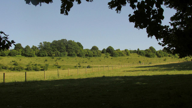
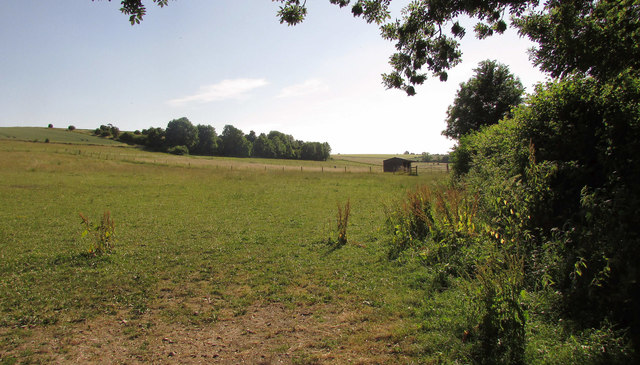
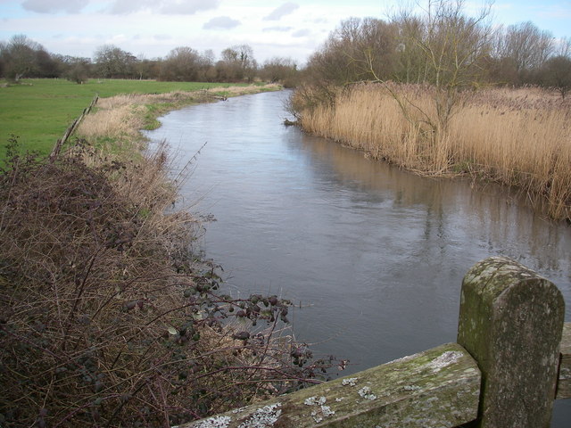
Little Yews is a picturesque woodland located in the county of Wiltshire, England. Situated in the heart of the county, it is a popular destination for nature lovers and outdoor enthusiasts. The woodland spans an area of approximately 100 acres and is characterized by a diverse range of flora and fauna.

The forest is predominantly composed of yew trees, which give the woodland its name. These ancient trees, some of which are estimated to be over 500 years old, create a dense canopy, providing a tranquil and shaded environment for visitors to explore. The yew trees are known for their distinctive red berries, which can be seen during the autumn months.

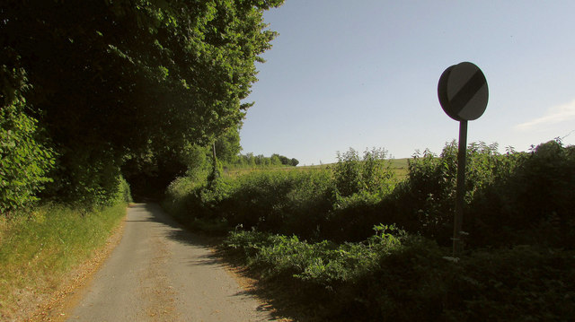
Little Yews is home to a wide variety of wildlife, including deer, squirrels, and a plethora of bird species. Birdwatchers can spot rare species such as woodpeckers, owls, and buzzards among the trees. The woodland also has several walking trails that meander through its enchanting landscape, allowing visitors to immerse themselves in the beauty of nature.

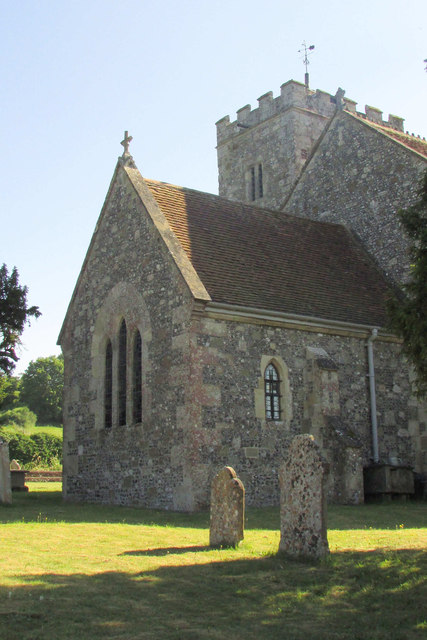
In addition to its natural beauty, Little Yews also has historical significance. The woodland is believed to have been used as a hunting ground during the medieval period and remnants of old hunting lodges can still be found within the forest. These historical features add an extra layer of intrigue to the woodland's charm.

Overall, Little Yews in Wiltshire is a captivating woodland that offers visitors a serene escape into nature. With its ancient yew trees, diverse wildlife, and rich history, it is a must-visit destination for those seeking a tranquil retreat.

If you have any feedback on the listing, please let us know in the comments section below.

Little Yews Images

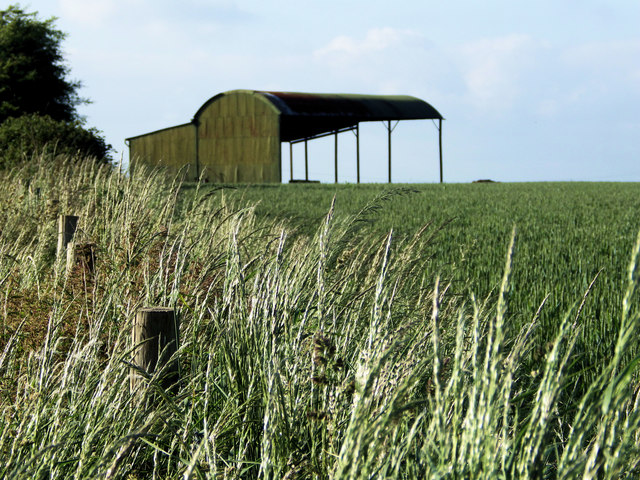
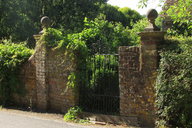
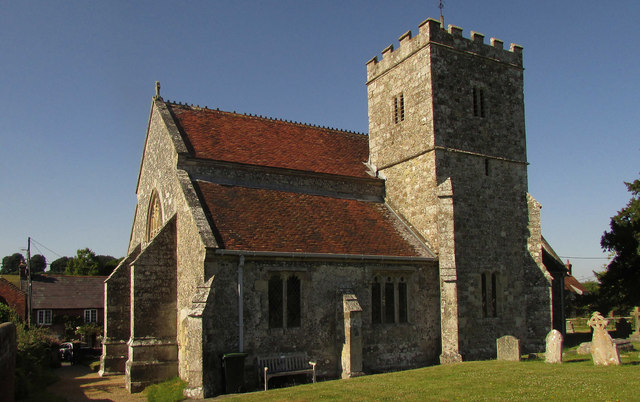
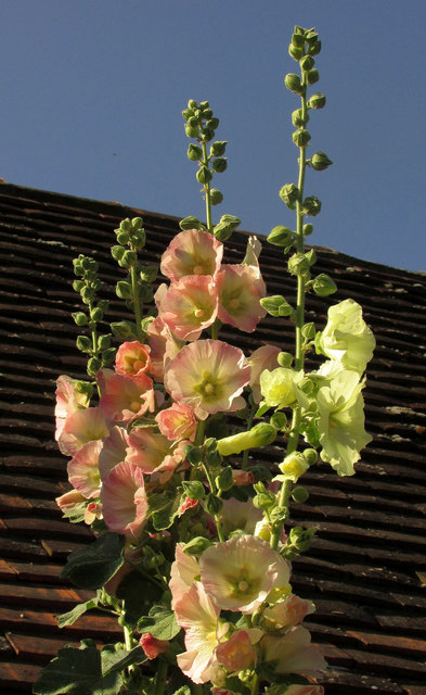
Images are sourced within 2km of 51.016833/-1.8152921 or Grid Reference SU1324. Thanks to Geograph Open Source API. All images are credited.

Dutch Barn on Tottens Down Part of the farm complex at the top of the lane from Coombe Bissett.
Dutch Barn on Tottens Down
Part of the farm complex at the top of the lane from Coombe Bissett.
Gateway, Homington Late sunlight catches the piers and ball finials of this gateway at The Manor.
Gateway, Homington
Late sunlight catches the piers and ball finials of this gateway at The Manor.
Church of St Mary The Virgin, Homington The grade II* listed church is described at <span class="nowrap"><a title="https://www.historicengland.org.uk/listing/the-list/list-entry/1023807" rel="nofollow ugc noopener" href="https://www.historicengland.org.uk/listing/the-list/list-entry/1023807">Link</a><img style="margin-left:2px;" alt="External link" title="External link - shift click to open in new window" src="https://s1.geograph.org.uk/img/external.png" width="10" height="10"/></span> : " C14 with tower of early C17".
Church of St Mary The Virgin, Homington
The grade II* listed church is described at LinkExternal link : " C14 with tower of early C17".
Hollyhocks, Homington Hollyhocks seem to be de rigueur in most Wiltshire villages, and very fine they are looking in the current heatwave. This is on Barber's Lane.
Hollyhocks, Homington
Hollyhocks seem to be de rigueur in most Wiltshire villages, and very fine they are looking in the current heatwave. This is on Barber's Lane.
Dry valley, Homington Seen from a junction on Homington Road, with a line of trees along the crest.
Dry valley, Homington
Seen from a junction on Homington Road, with a line of trees along the crest.
Lane to Down Barn A no through road seen from Homington Road and leading up to the scene in <a href="https://www.geograph.org.uk/photo/203151">SU1224 : Farm buildings at Down Barn, nr Homington</a> and some cottages.
Lane to Down Barn
A no through road seen from Homington Road and leading up to the scene in SU1224 : Farm buildings at Down Barn, nr Homington and some cottages.
Grass fields, Homington On the left is the lane shown in <a href="https://www.geograph.org.uk/photo/5905337">SU1225 : Lane to Down Barn</a>. In the distance is Homington Down.
Grass fields, Homington
On the left is the lane shown in SU1225 : Lane to Down Barn. In the distance is Homington Down.
Grass fields, Homington Looking right from where <a href="https://www.geograph.org.uk/photo/5905614">SU1225 : Grass fields, Homington</a> was taken.
Grass fields, Homington
Looking right from where SU1225 : Grass fields, Homington was taken.
Church of St Mary The Virgin, Homington The shady side of the grade II* listed church <span class="nowrap"><a title="https://www.historicengland.org.uk/listing/the-list/list-entry/1023807" rel="nofollow ugc noopener" href="https://www.historicengland.org.uk/listing/the-list/list-entry/1023807">Link</a><img style="margin-left:2px;" alt="External link" title="External link - shift click to open in new window" src="https://s1.geograph.org.uk/img/external.png" width="10" height="10"/></span> shown in <a href="https://www.geograph.org.uk/photo/5836493">SU1225 : Church of St Mary The Virgin, Homington</a>.
Church of St Mary The Virgin, Homington
The shady side of the grade II* listed church LinkExternal link shown in SU1225 : Church of St Mary The Virgin, Homington.
Churchyard wall, Homington A sort of double wall running along beside Homington Road.
Churchyard wall, Homington
A sort of double wall running along beside Homington Road.
Tombs, Homington churchyard On the left is a corner of St Mary The Virgin's church. In the background is the thatched and listed Box Cottage, of 1726 <span class="nowrap"><a title="https://www.historicengland.org.uk/listing/the-list/list-entry/1355767" rel="nofollow ugc noopener" href="https://www.historicengland.org.uk/listing/the-list/list-entry/1355767">Link</a><img style="margin-left:2px;" alt="External link" title="External link - shift click to open in new window" src="https://s1.geograph.org.uk/img/external.png" width="10" height="10"/></span> .
Tombs, Homington churchyard
On the left is a corner of St Mary The Virgin's church. In the background is the thatched and listed Box Cottage, of 1726 LinkExternal link .
West end, Church of St Mary The Virgin, Homington The church <span class="nowrap"><a title="https://www.historicengland.org.uk/listing/the-list/list-entry/1023807" rel="nofollow ugc noopener" href="https://www.historicengland.org.uk/listing/the-list/list-entry/1023807">Link</a><img style="margin-left:2px;" alt="External link" title="External link - shift click to open in new window" src="https://s1.geograph.org.uk/img/external.png" width="10" height="10"/></span> is better shown in <a href="https://www.geograph.org.uk/photo/5836493">SU1225 : Church of St Mary The Virgin, Homington</a>.
West end, Church of St Mary The Virgin, Homington
Brick wall, Homington Sunshine catches a curve in the wall surrounding The Manor.
Brick wall, Homington
Sunshine catches a curve in the wall surrounding The Manor.
Cottage, Homington Mary Louisa Cottage has attractive chequered brick.
Cottage, Homington
Mary Louisa Cottage has attractive chequered brick.
Postbox, Homington Elizabeth II postbox SP5 62 is opposite <a href="https://www.geograph.org.uk/photo/5905799">SU1226 : Cottage, Homington</a>.
Postbox, Homington
Elizabeth II postbox SP5 62 is opposite SU1226 : Cottage, Homington.
Thatched cottage, Homington Crossways Cottage can also be seen on the right of <a href="https://www.geograph.org.uk/photo/194487">SU1226 : Looking towards Barbers Lane, Homington</a>. Down the lane is a T-junction with Homington Road
Thatched cottage, Homington
Crossways Cottage can also be seen on the right of SU1226 : Looking towards Barbers Lane, Homington. Down the lane is a T-junction with Homington Road
Sheep near Homington Looking right from where <a href="https://www.geograph.org.uk/photo/5905834">SU1125 : Sheep near Homington</a> was taken.
Sheep near Homington
Looking right from where SU1125 : Sheep near Homington was taken.
Bridleway past College Farm
Show me another place!

Little Yews is located at Grid Ref: SU1324 (Lat: 51.016833, Lng: -1.8152921)

Unitary Authority: Wiltshire

Police Authority: Wiltshire

What 3 Words

///showcases.seemingly.dodging. Near Downton, Wiltshire

Related Wikis

River Avon System

River Avon System is a 475.9-hectare (1,176-acre) biological Site of Special Scientific Interest in Hampshire and Wiltshire, southern England. It is a...

Odstock Down

Odstock Down (grid reference SU139250) is a 12.1 hectare biological Site of Special Scientific Interest in Wiltshire, England, above the village of Odstock...

Great Yews

Great Yews (grid reference SU120231) is a 29.3 hectare biological Site of Special Scientific Interest in Wiltshire, notified in 1951. == Sources == Natural...

Clearbury Down

Clearbury Down (grid reference SU152240) is a 13.3 hectare biological Site of Special Scientific Interest in Wiltshire, England. It is above the village...

Clearbury Ring

Clearbury Ring is a univallate Iron Age hillfort which is partly in the parish of Downton in the county of Wiltshire in south-west England, approximately...

Odstock

Odstock is a village and civil parish 3 miles (4.8 km) south of Salisbury in Wiltshire, England. The parish includes the village of Nunton with its nearby...

Homington and Coombe Bissett Downs

Homington and Coombe Bissett Downs (grid reference SU104245) is a 25.0 hectare biological Site of Special Scientific Interest in Wiltshire, notified in...

Coombe Bissett

Coombe Bissett is a village and civil parish in the English county of Wiltshire in the River Ebble valley, 3 miles (4.8 km) southwest of Salisbury on the...

Nearby Amenities

Located within 500m of 51.016833,-1.8152921
Little Yews Plantation
Place: locality
Lat/Long: 51.0165152/-1.8117967
The data included in this document is from www.openstreetmap.org. The data is made available under ODbL.

Have you been to Little Yews?

Leave your review of Little Yews below (or comments, questions and feedback).