Weston Park
Wood, Forest in Gloucestershire Cotswold
England
Weston Park
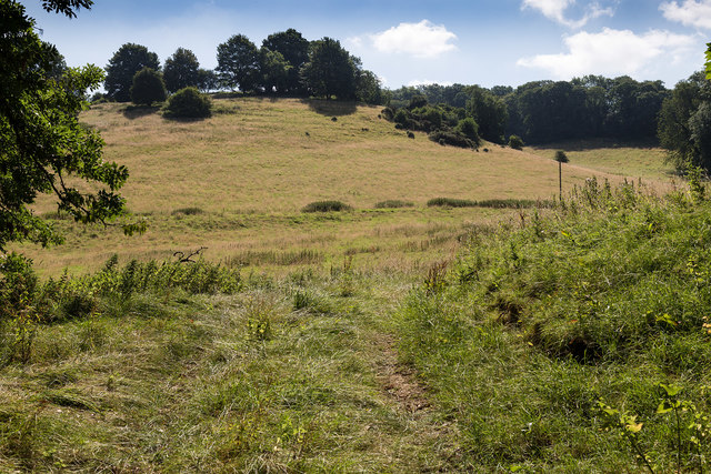
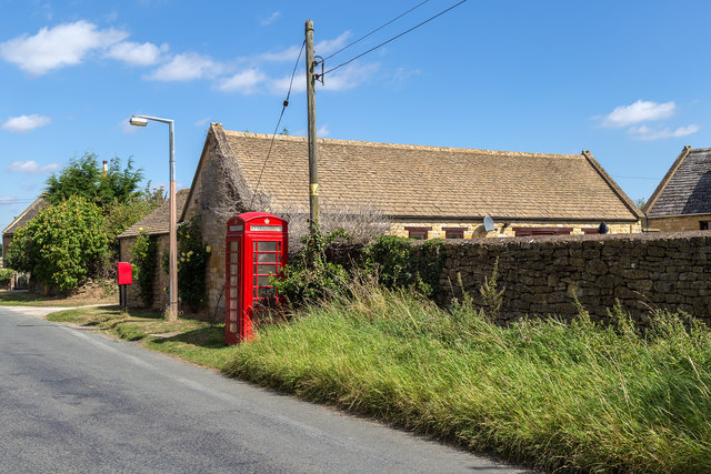
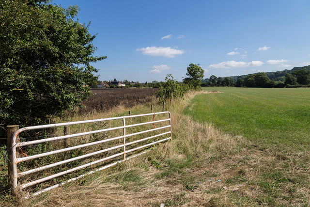
Weston Park is a beautiful wooded area located in Gloucestershire, England. Covering an extensive area, the park is renowned for its picturesque landscapes and dense forested areas. Situated near the village of Weston-sub-Edge, the park offers visitors a tranquil and serene environment to explore.
The park is predominantly covered by a mix of deciduous and coniferous trees, creating a diverse and vibrant ecosystem. This woodland is home to a wide range of flora and fauna, including oak, beech, and pine trees. The forest floor is adorned with various wildflowers and ferns, adding to the park's natural beauty.
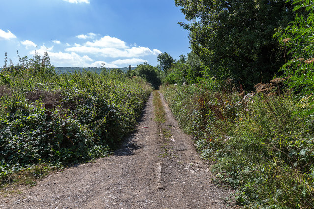
Visitors to Weston Park can enjoy a variety of recreational activities. The park features numerous walking trails that wind through the forest, providing an opportunity to immerse oneself in nature and appreciate the stunning surroundings. The trails are well-maintained and suitable for both leisurely strolls and more challenging hikes.
Wildlife enthusiasts will delight in the abundance of animals that call Weston Park home. Roe deer, foxes, badgers, and squirrels are frequently spotted within the park's boundaries. Birdwatchers will also find plenty to observe, with a diverse range of bird species inhabiting the area.
The park is equipped with picnic areas, making it an ideal spot for families and friends to gather and enjoy a meal amidst the peaceful atmosphere. Visitors can also find benches scattered throughout the park, providing resting spots to sit and take in the natural beauty.
Overall, Weston Park in Gloucestershire offers a tranquil haven for nature lovers, boasting stunning woodlands, diverse wildlife, and a range of recreational activities for all to enjoy.
If you have any feedback on the listing, please let us know in the comments section below.
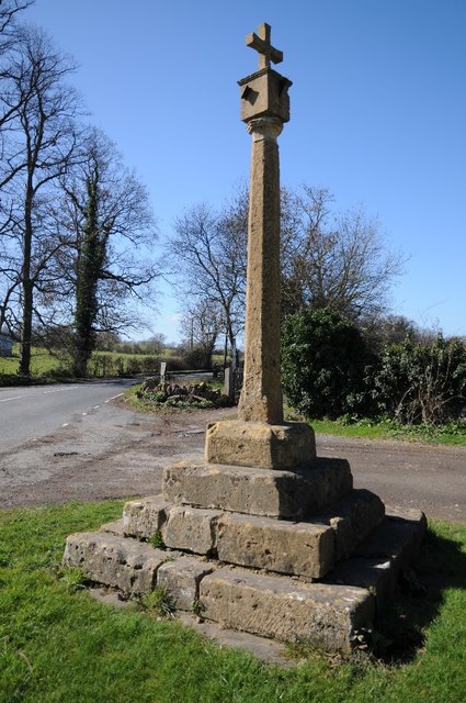
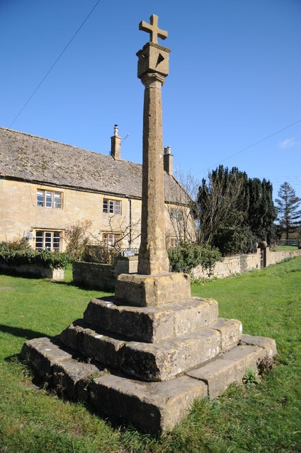
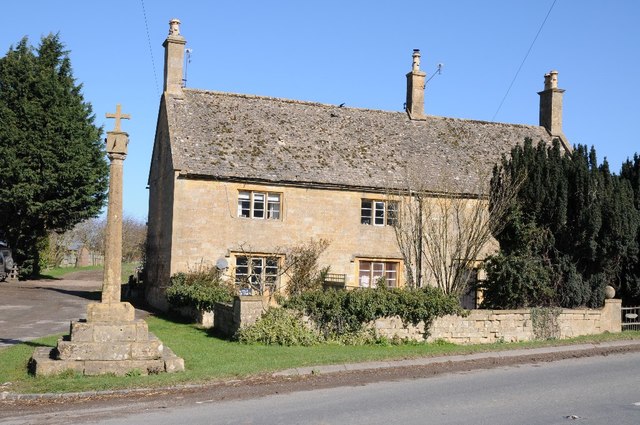
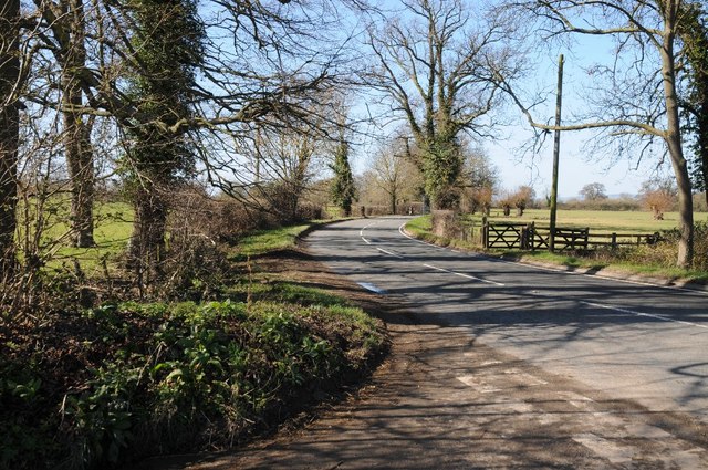
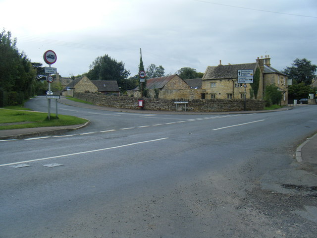
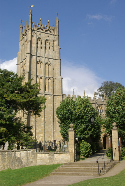
Weston Park Images
Images are sourced within 2km of 52.050741/-1.8110949 or Grid Reference SP1339. Thanks to Geograph Open Source API. All images are credited.


Weston Park is located at Grid Ref: SP1339 (Lat: 52.050741, Lng: -1.8110949)
Administrative County: Gloucestershire
District: Cotswold
Police Authority: Gloucestershire
What 3 Words
///flaked.terms.submerge. Near Chipping Campden, Gloucestershire
Nearby Locations
Related Wikis
Dover's Hill
Dover's Hill is a 754 feet (230 metres) hill in the Cotswolds area of central England. The hill is 1 mile (1.6 km) north-west of Chipping Campden in Gloucestershire...

Church of St Nicholas, Saintbury
The Anglican Church of St Nicholas at Saintbury in the Cotswold District of Gloucestershire, England was built in the 13th century. It is a grade I listed...
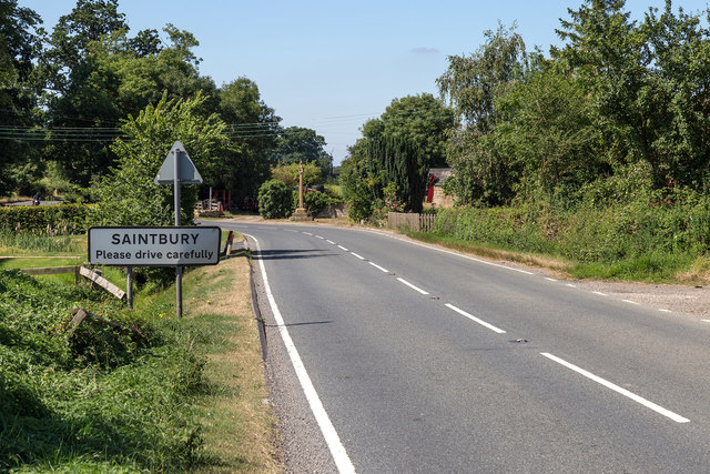
Saintbury
Saintbury is a village and civil parish in the Cotswold District of Gloucestershire, England. The population of the civil parish at the 2011 Census was...

Guild and School of Handicraft
The Guild and School of Handicraft was established in 1888 in London, later moving to Chipping Campden in Gloucestershire, England, as a community of artists...
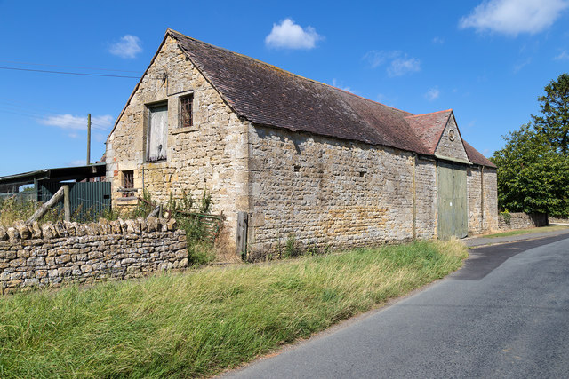
Weston-sub-Edge
Weston-sub-Edge (also known as Weston Subedge) is a village in Gloucestershire, England. == History == This Cotswold village, recorded in the Domesday...

Chipping Campden Town Hall
Chipping Campden Town Hall is a municipal building in the High Street, Chipping Campden, Gloucestershire, England. The building, which is the meeting place...
Chipping Campden
Chipping Campden is a market town in the Cotswold district of Gloucestershire, England. It is notable for its terraced High Street, dating from the 14th...
North Cotswold Community Radio
North Cotswold Community Radio is a non-profit community internet radio station serving primarily the North Cotswolds and the surrounding area in west...
Nearby Amenities
Located within 500m of 52.050741,-1.8110949Have you been to Weston Park?
Leave your review of Weston Park below (or comments, questions and feedback).