Wellington Clump
Wood, Forest in Northumberland
England
Wellington Clump
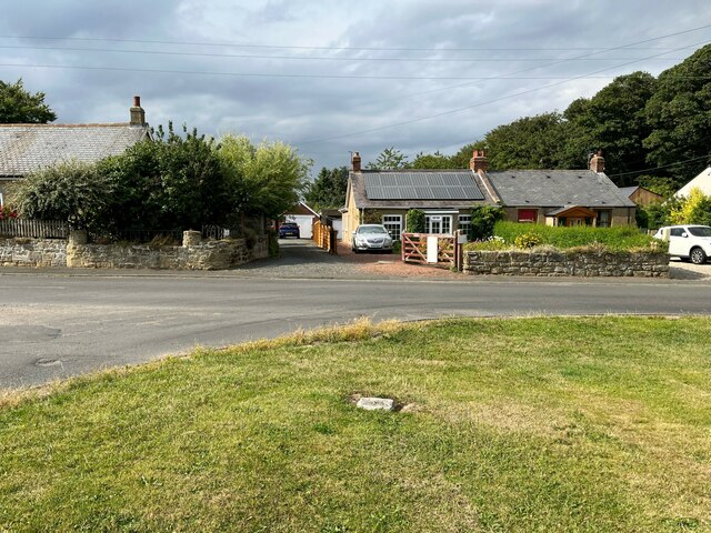
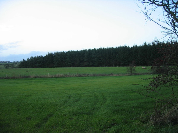
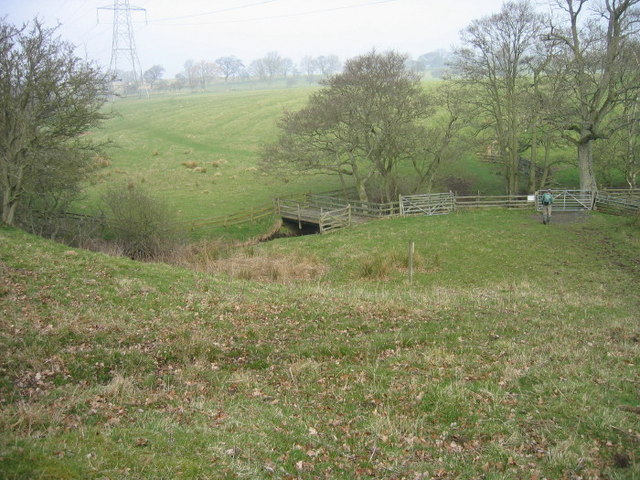
Wellington Clump is a beautiful woodland area located in Northumberland, England. Situated in the northern part of the county, Wellington Clump is known for its picturesque scenery and abundance of trees, making it a popular destination for nature enthusiasts and outdoor lovers.
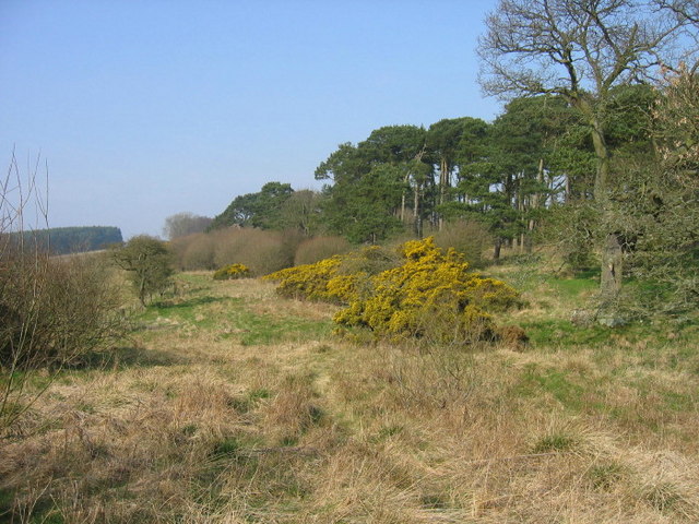
Covering an area of approximately 100 acres, this woodland is known for its diverse range of tree species, including oak, beech, birch, and spruce. The dense canopy of trees provides a peaceful and serene atmosphere, making it an ideal place for quiet walks, picnics, or simply enjoying the tranquility of nature.
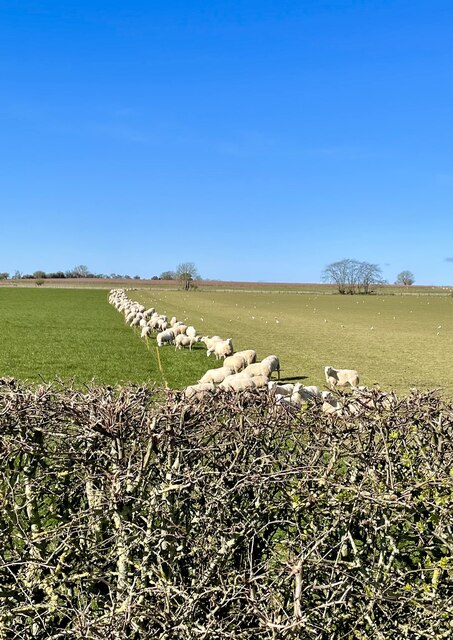
The woodland is home to a variety of wildlife, including deer, squirrels, rabbits, and a wide range of bird species. Birdwatchers often visit Wellington Clump to catch glimpses of rare and migratory birds that pass through the area.
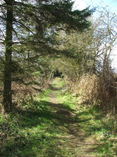
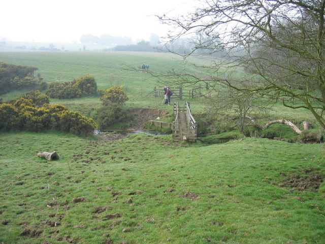
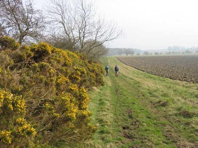
The woodland is crisscrossed by a network of footpaths, allowing visitors to explore and appreciate its natural beauty. There are also designated cycling trails for those who prefer to explore on two wheels. The paths are well-maintained and offer a range of difficulty levels, catering to both casual walkers and experienced hikers.
Wellington Clump is open to the public throughout the year and is free to enter. There are car parking facilities available nearby, as well as picnic areas and seating areas for visitors to enjoy. Whether you are seeking a peaceful retreat or an active outdoor adventure, Wellington Clump in Northumberland is a must-visit destination for nature lovers.
If you have any feedback on the listing, please let us know in the comments section below.
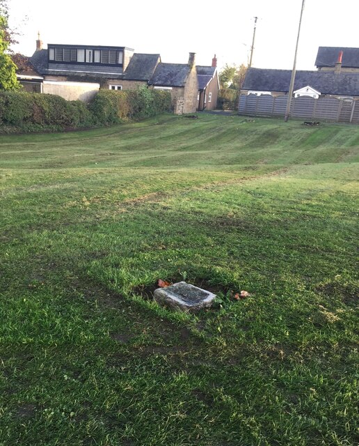
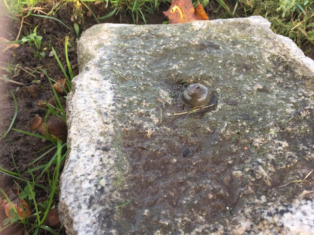
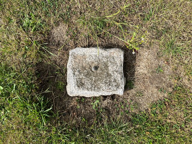
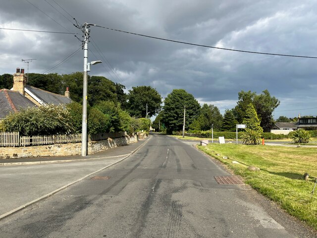
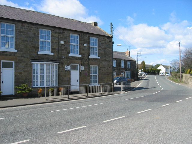
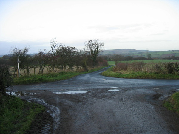
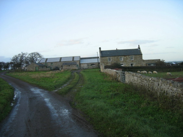
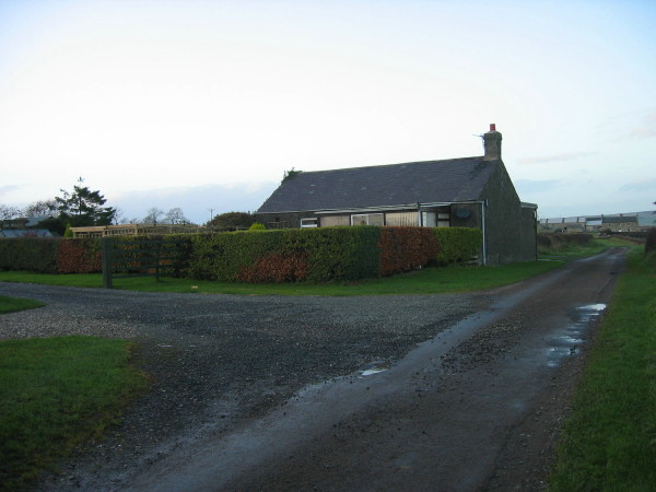
Wellington Clump Images
Images are sourced within 2km of 55.251504/-1.796289 or Grid Reference NZ1395. Thanks to Geograph Open Source API. All images are credited.
Wellington Clump is located at Grid Ref: NZ1395 (Lat: 55.251504, Lng: -1.796289)
Unitary Authority: Northumberland
Police Authority: Northumbria
What 3 Words
///skim.vacancies.salads. Near Longhorsley, Northumberland
Nearby Locations
Related Wikis

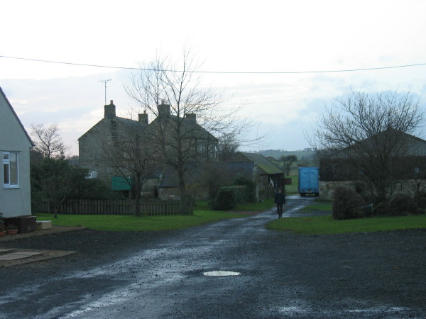
Longhorsley
Longhorsley is a village in Northumberland, England about 7 miles (11 km) northwest of Morpeth, and about 14 miles (23 km) south of Alnwick. The A697 road...

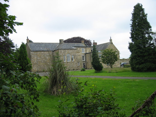
Linden Hall, Northumberland
Linden Hall is a former mansion house in the civil parish of Longhorsley, Northumberland, England which is now operated as a hotel and country club. This...

Brinkburn Mill
Brinkburn Mill is a water mill located near Rothbury, in Northumberland. It once formed part of the precincts of Brinkburn Priory and was constructed in...

Brinkburn Priory
Brinkburn Priory is a former monastery built, starting in the 12th century, on a bend of the River Coquet, about 4 miles (6 km) east of Rothbury, Northumberland...

Brinkburn
Brinkburn is a civil parish in Northumberland, England. It is divided by the River Coquet. The parish includes the hamlet of Pauperhaugh. == History... ==
Causey Park House
Causey Park House is a 16th-century former manor house with Grade II listed building status situated at Causey Park, Northumberland, England. The Manors...

Nunnykirk
Nunnykirk is a settlement and civil parish in the county of Northumberland, England. Nunnykirk is the location of Nunnykirk Hall, a former nunnery country...
Longframlington
Longframlington is a small village in Northumberland, England, located on the A697, 11 miles (18 km) north-west of Morpeth and 5 miles (8 km) south-east...
Nearby Amenities
Located within 500m of 55.251504,-1.796289Have you been to Wellington Clump?
Leave your review of Wellington Clump below (or comments, questions and feedback).