Viewlaw Lake

Lake, Pool, Pond, Freshwater Marsh in Northumberland

England

Viewlaw Lake

Fundamental Benchmark These Ordnance Survey benchmarks, of which there are only 200 in the UK, are the cornerstones of the countrywide height measurement network, the mean sea level reference point being the Newlyn Datum in Cornwall.  Unlike the more familiar trig points, they are still in use and are regularly checked.  The concrete block is set on bedrock for stability.  The height is specified as 124.0106 metres.  Such precision!  See closeup <a href="https://www.geograph.org.uk/photo/7005692">NZ1494 : Fundamental Benchmark</a>  For full details see <span class="nowrap"><a title="https://www.bench-marks.org.uk/bm1108" rel="nofollow ugc noopener" href="https://www.bench-marks.org.uk/bm1108">Link</a><img style="margin-left:2px;" alt="External link" title="External link - shift click to open in new window" src="https://s1.geograph.org.uk/img/external.png" width="10" height="10"/></span>
Fundamental Benchmark Credit: Leanmeanmo

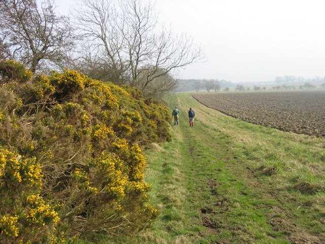
Viewlaw Lake is a picturesque body of water located in Northumberland, England. Situated amidst rolling green hills and dense woodlands, this lake serves as a tranquil oasis for both locals and visitors alike. Covering an area of approximately 10 acres, Viewlaw Lake is a relatively small but enchanting freshwater feature.

The lake itself is formed by natural springs and is fed by a nearby stream, ensuring a constant flow of clear, freshwater. The water is remarkably clean and pristine, making it an ideal habitat for a variety of aquatic species. The lake is home to a diverse range of fish, including trout and perch, making it a popular spot for anglers.

Surrounding the lake is a verdant landscape teeming with life. The area is rich in flora and fauna, with an abundance of water lilies, reeds, and other aquatic plants adorning the lake's banks. This lush vegetation provides shelter and nesting sites for a variety of bird species, such as swans, ducks, and herons. Birdwatchers can often be seen observing these magnificent creatures in their natural habitat.

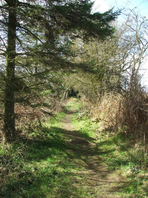
Viewlaw Lake also offers several recreational activities for visitors to enjoy. Boating and kayaking are popular pastimes, allowing people to explore the lake's calm waters and take in the surrounding natural beauty. Additionally, a well-maintained walking trail encircles the lake, providing a scenic route for leisurely strolls and picnics.

In summary, Viewlaw Lake is a charming freshwater feature nestled in the heart of Northumberland. With its crystal-clear waters, abundant wildlife, and peaceful ambiance, it is a haven for nature lovers and a must-visit destination for those seeking solace in the great outdoors.

If you have any feedback on the listing, please let us know in the comments section below.
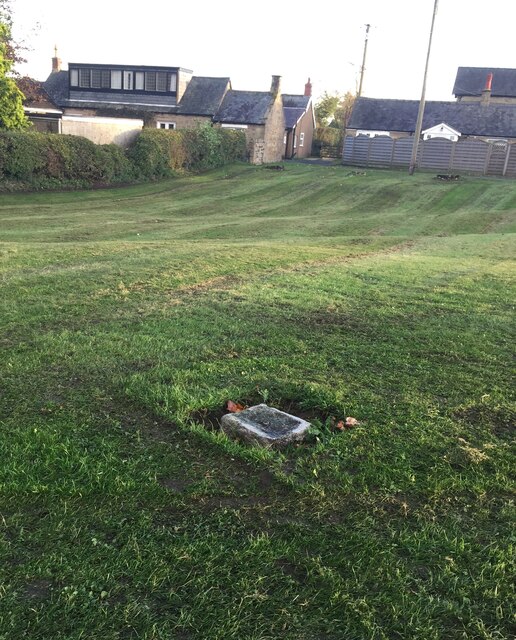
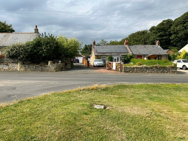
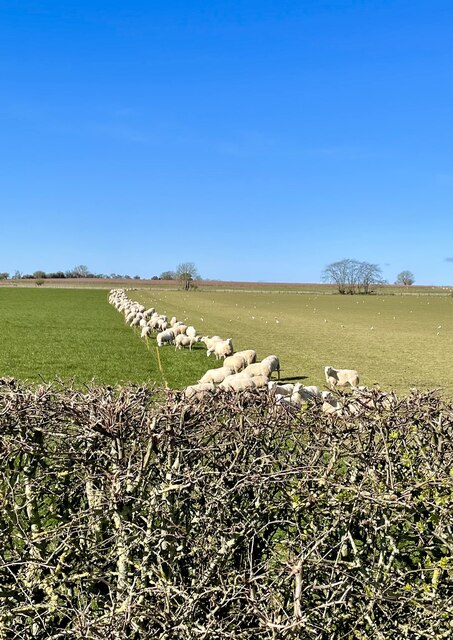
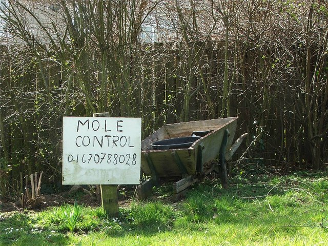
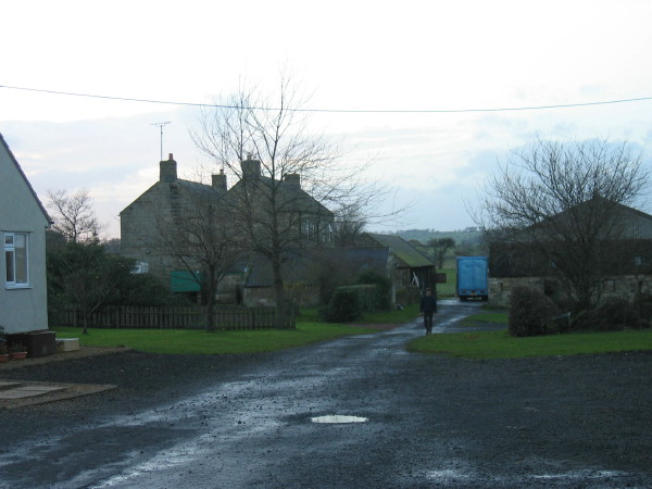
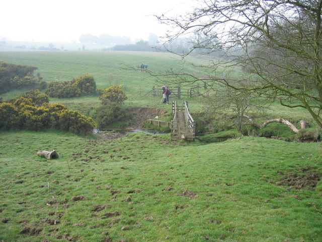
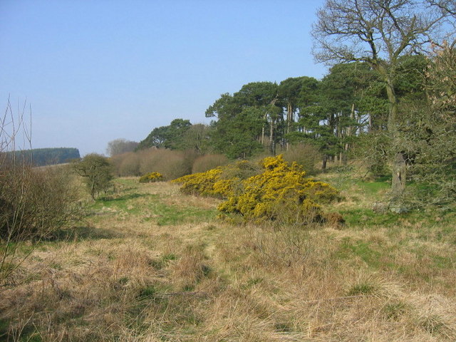
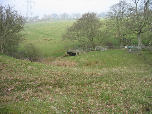
Viewlaw Lake Images

Images are sourced within 2km of 55.24925/-1.7967724 or Grid Reference NZ1395. Thanks to Geograph Open Source API. All images are credited.

Fundamental Benchmark These Ordnance Survey benchmarks, of which there are only 200 in the UK, are the cornerstones of the countrywide height measurement network, the mean sea level reference point being the Newlyn Datum in Cornwall.  Unlike the more familiar trig points, they are still in use and are regularly checked.  The concrete block is set on bedrock for stability.  The height is specified as 124.0106 metres.  Such precision!  See closeup <a href="https://www.geograph.org.uk/photo/7005692">NZ1494 : Fundamental Benchmark</a>  For full details see <span class="nowrap"><a title="https://www.bench-marks.org.uk/bm1108" rel="nofollow ugc noopener" href="https://www.bench-marks.org.uk/bm1108">Link</a><img style="margin-left:2px;" alt="External link" title="External link - shift click to open in new window" src="https://s1.geograph.org.uk/img/external.png" width="10" height="10"/></span>
Fundamental Benchmark
These Ordnance Survey benchmarks, of which there are only 200 in the UK, are the cornerstones of the countrywide height measurement network, the mean sea level reference point being the Newlyn Datum in Cornwall. Unlike the more familiar trig points, they are still in use and are regularly checked. The concrete block is set on bedrock for stability. The height is specified as 124.0106 metres. Such precision! See closeup NZ1494 : Fundamental Benchmark For full details see LinkExternal link
Fundamental Benchmark The benchmark is damaged but the hemispherical brass bolt head still looks serviceable.  See also <a href="https://www.geograph.org.uk/photo/7005374">NZ1494 : Fundamental Benchmark</a>  For more details see <span class="nowrap"><a title="https://www.bench-marks.org.uk/bm1108" rel="nofollow ugc noopener" href="https://www.bench-marks.org.uk/bm1108">Link</a><img style="margin-left:2px;" alt="External link" title="External link - shift click to open in new window" src="https://s1.geograph.org.uk/img/external.png" width="10" height="10"/></span>
Fundamental Benchmark
The benchmark is damaged but the hemispherical brass bolt head still looks serviceable. See also NZ1494 : Fundamental Benchmark For more details see LinkExternal link
Longhorsley Fundamental Benchmark On the village green in Longhorsley, Longhorsley Fundamental Benchmark is marked by a brass bolt set in an irregular granite block at ground level (location photograph <a href="https://www.geograph.org.uk/photo/7243337">NZ1494 : Cottages in Longhorsley</a>).  It was levelled in 1918 and marks a height of 124.0106m above Ordnance Datum Newlyn.  It is in use as an Ordnance Survey passive GPS station.
Longhorsley Fundamental Benchmark
On the village green in Longhorsley, Longhorsley Fundamental Benchmark is marked by a brass bolt set in an irregular granite block at ground level (location photograph NZ1494 : Cottages in Longhorsley). It was levelled in 1918 and marks a height of 124.0106m above Ordnance Datum Newlyn. It is in use as an Ordnance Survey passive GPS station.
West Road, Longhorsley West Road beside the village green.
West Road, Longhorsley
West Road beside the village green.
Cottages in Longhorsley The cottages are opposite the village green and face onto West Road.
The rectangular granite block set into the village green is the Longhorsley Fundamental Benchmark (photograph <a href="https://www.geograph.org.uk/photo/7243241">NZ1494 : Longhorsley Fundamental Benchmark</a>).
Cottages in Longhorsley
The cottages are opposite the village green and face onto West Road. The rectangular granite block set into the village green is the Longhorsley Fundamental Benchmark (photograph NZ1494 : Longhorsley Fundamental Benchmark).
Form an orderly line there! Munching the new grass that has been exposed when the electric fence was moved.
Form an orderly line there!
Munching the new grass that has been exposed when the electric fence was moved.
Save the Mole! Spotted on the grass verge on the main road through Longhorsley!
Save the Mole!
Spotted on the grass verge on the main road through Longhorsley!
Footpath A footpath running alongside the A697 through Longhorlsey. The footpath is very short but I spotted 15 different bird species.
Footpath
A footpath running alongside the A697 through Longhorlsey. The footpath is very short but I spotted 15 different bird species.
Longhorsley Village Post Office Post Office located on the main A697 in Longhorsely has a plaque on the wall recording the fact that this was the house from which the suffragette, Emily Wilding Davison, left before going to London and throwing herself in front of King George V's horse at the Derby in 1913. She is buried in St Mary's Churchyard, Morpeth - inscription on grave reads 'deeds, not words'. The house in photograph was home of her mother in 1913.
Longhorsley Village Post Office
Post Office located on the main A697 in Longhorsely has a plaque on the wall recording the fact that this was the house from which the suffragette, Emily Wilding Davison, left before going to London and throwing herself in front of King George V's horse at the Derby in 1913. She is buried in St Mary's Churchyard, Morpeth - inscription on grave reads 'deeds, not words'. The house in photograph was home of her mother in 1913.
North Birks Farm
North Birks Farm
South Birks
South Birks
Plantation and farmland
Viewlaw Farm
Viewlaw Farm
Footbridge over Paxtondean Burn
Muckley This former farmhouse was in the process of being renovated and most of the outbuildings have been converted into residences.
Muckley
This former farmhouse was in the process of being renovated and most of the outbuildings have been converted into residences.
Footpath near High Southward Edge
Bridge over Tod Burn
Footpath and ploughed land near Beggar's Bush Plantation
Show me another place!

Viewlaw Lake is located at Grid Ref: NZ1395 (Lat: 55.24925, Lng: -1.7967724)

Unitary Authority: Northumberland

Police Authority: Northumbria

What 3 Words

///overnight.acted.headliner. Near Longhorsley, Northumberland

Related Wikis

Longhorsley

Longhorsley is a village in Northumberland, England about 7 miles (11 km) northwest of Morpeth, and about 14 miles (23 km) south of Alnwick. The A697 road...

Linden Hall, Northumberland

Linden Hall is a former mansion house in the civil parish of Longhorsley, Northumberland, England which is now operated as a hotel and country club. This...

Brinkburn Mill

Brinkburn Mill is a water mill located near Rothbury, in Northumberland. It once formed part of the precincts of Brinkburn Priory and was constructed in...

Brinkburn Priory

Brinkburn Priory is a former monastery built, starting in the 12th century, on a bend of the River Coquet, about 4 miles (6 km) east of Rothbury, Northumberland...

Brinkburn

Brinkburn is a civil parish in Northumberland, England. It is divided by the River Coquet. The parish includes the hamlet of Pauperhaugh. == History... ==

Causey Park House

Causey Park House is a 16th-century former manor house with Grade II listed building status situated at Causey Park, Northumberland, England. The Manors...

Nunnykirk

Nunnykirk is a settlement and civil parish in the county of Northumberland, England. Nunnykirk is the location of Nunnykirk Hall, a former nunnery country...

Netherwitton

Netherwitton is a village in Northumberland, England about 8 miles (13 km) west north west of Morpeth. A former cotton-mill now converted into residential...

Nearby Amenities

Located within 500m of 55.24925,-1.7967724
Power: pole
Lat/Long: 55.2451447/-1.7975646
Power: pole
Lat/Long: 55.245758/-1.7978864
Power: pole
Lat/Long: 55.245922/-1.800313
Power: pole
Lat/Long: 55.2461528/-1.7995943
Power: pole
Lat/Long: 55.2465356/-1.7984232
Power: pole
Lat/Long: 55.2465568/-1.7983337
Power: pole
Lat/Long: 55.2470376/-1.7985906
Power: pole
Lat/Long: 55.2475011/-1.7988369
Power: pole
Lat/Long: 55.2484133/-1.799328
Power: pole
Lat/Long: 55.2490579/-1.800304
Power: pole
Lat/Long: 55.2498903/-1.801546
Power: pole
Lat/Long: 55.2506313/-1.8026648
The data included in this document is from www.openstreetmap.org. The data is made available under ODbL.

Have you been to Viewlaw Lake?

Leave your review of Viewlaw Lake below (or comments, questions and feedback).