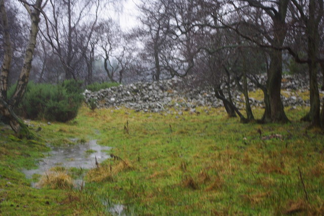
West Belt
Wood, Forest in Durham
England
West Belt

West Belt, Durham (Wood, Forest) is a residential neighborhood located in Durham, North Carolina. Situated on the western side of the city, the community is part of the larger West Belt area. Known for its lush greenery and abundant trees, the neighborhood offers a serene and peaceful living environment.
The West Belt, Durham (Wood, Forest) neighborhood features a mix of housing options, including single-family homes and townhouses. The properties are typically well-maintained and surrounded by mature trees, giving the area a natural and picturesque feel. Many homes offer spacious yards and ample green spaces, making it an ideal choice for families or individuals who enjoy outdoor activities.
Residents of West Belt, Durham (Wood, Forest) benefit from the neighborhood's convenient location. The area is close to major transportation routes, including the West Beltline Highway, providing easy access to other parts of Durham and neighboring cities. Numerous amenities are also within reach, including shopping centers, restaurants, and recreational facilities.
For those seeking outdoor recreation, West Belt, Durham (Wood, Forest) is surrounded by several parks and natural areas. The nearby Forest Hills Park offers walking trails, playgrounds, and sports fields, providing opportunities for exercise and leisure activities. Additionally, the neighborhood is just a short drive away from the popular Duke Forest, a vast woodland area that offers hiking, biking, and wildlife watching.
Overall, West Belt, Durham (Wood, Forest) offers a tranquil and scenic living environment, with its abundance of trees and proximity to parks and amenities. It provides residents with a balance of nature and convenience, making it an attractive place to call home in Durham.
If you have any feedback on the listing, please let us know in the comments section below.
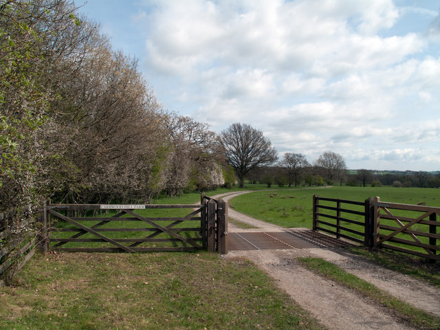
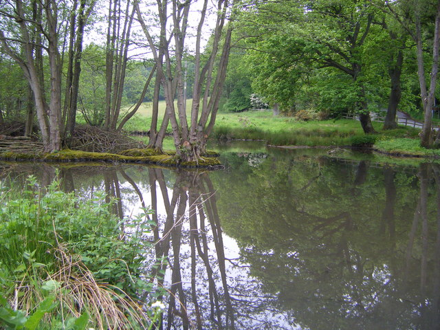
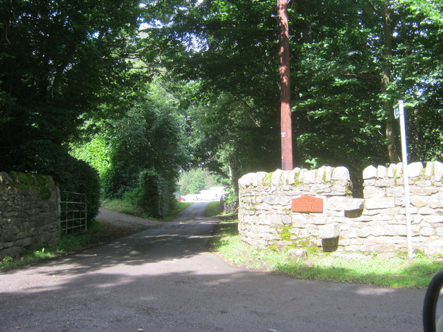
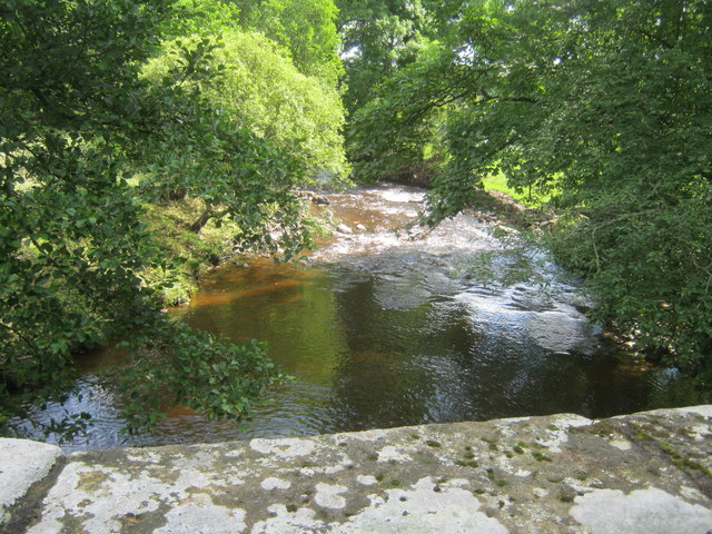
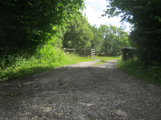
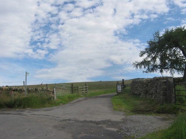
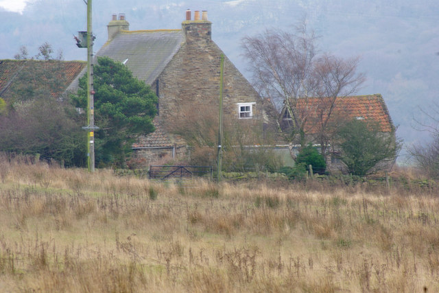
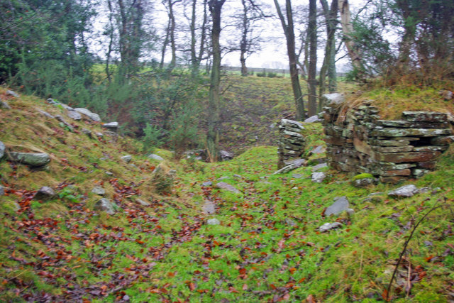
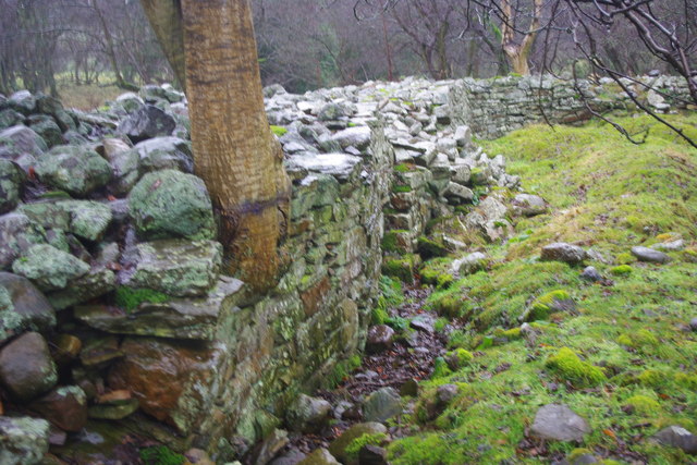
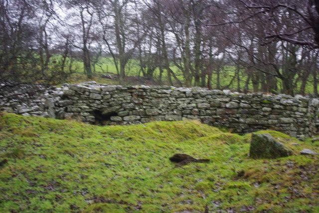
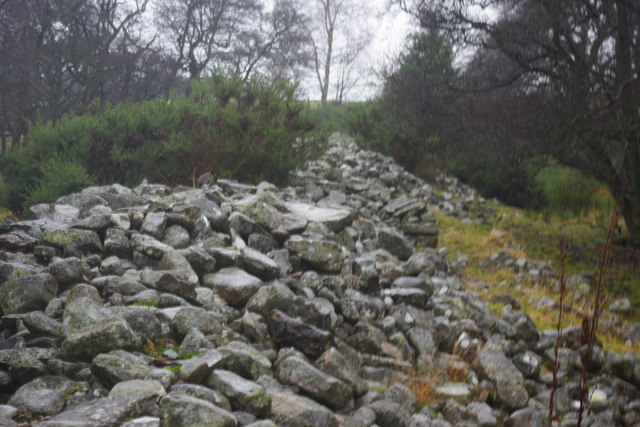
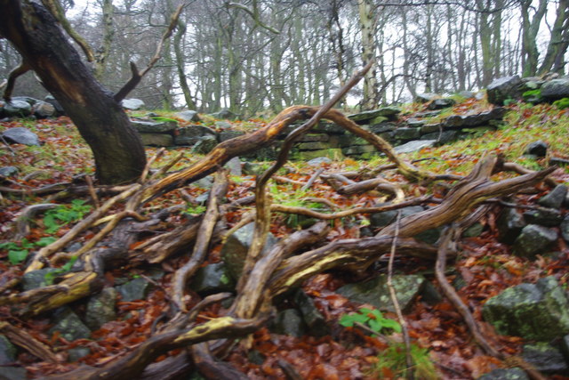
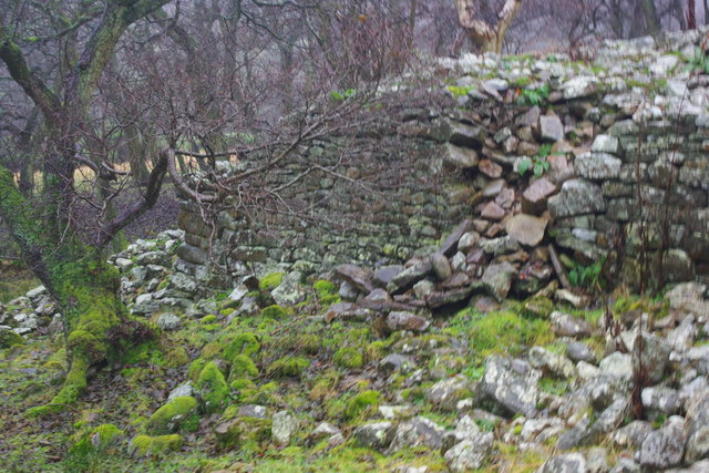
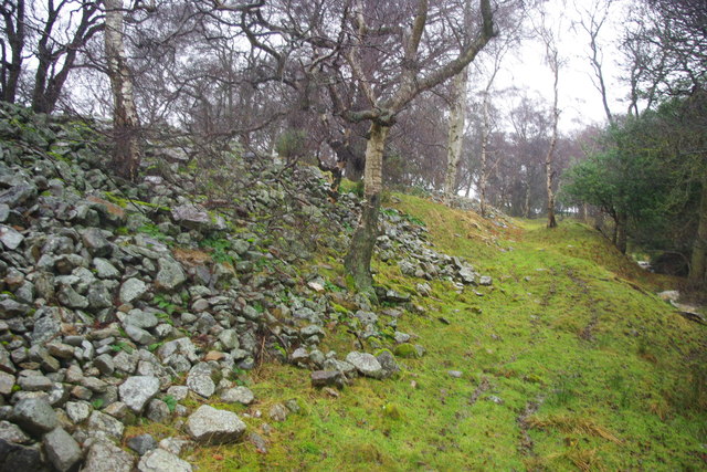
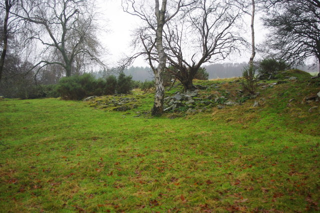
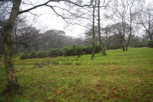
West Belt Images
Images are sourced within 2km of 54.686401/-1.8558197 or Grid Reference NZ0932. Thanks to Geograph Open Source API. All images are credited.
West Belt is located at Grid Ref: NZ0932 (Lat: 54.686401, Lng: -1.8558197)
Unitary Authority: County Durham
Police Authority: Durham
What 3 Words
///behaving.graph.argue. Near Hamsterley, Co. Durham
Nearby Locations
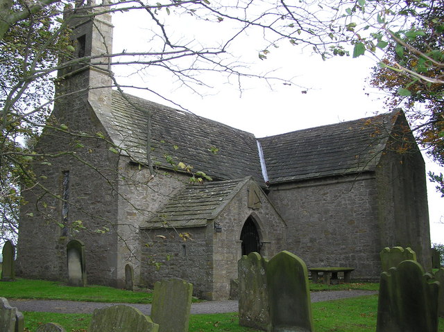
Related Wikis

Bedburn
Bedburn is a village in County Durham, in England. It is in the civil parish of South Bedburn, near Hamsterley, and Hamsterley Forest. The Bedburn Beck...

South Bedburn
South Bedburn is a civil parish in County Durham, England. The population of the civil parish at the 2011 census was 171. == References == == External... ==
Hamsterley Forest
Hamsterley Forest is a commercial forest in County Durham owned and managed by Forestry England. It is the largest forest in County Durham and covers...
Low Redford Meadows
Low Redford Meadows is a Site of Special Scientific Interest in the Teesdale district of County Durham, England. It consists of two separate areas of meadows...

County Durham
County Durham, officially simply Durham (/ˈdʌrəm/), is a ceremonial county in North East England. The county borders Northumberland and Tyne and Wear to...
Hamsterley, Bishop Auckland
Hamsterley is a village in County Durham, England. It is situated a few miles west of Bishop Auckland. The village lies on a rise above the upper reaches...
Frog Wood Bog
Frog Wood Bog is a Site of Special Scientific Interest in the Teesdale district of County Durham, England. It lies alongside Bedburn Beck, approximately...
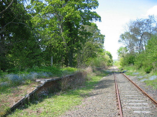
Harperley railway station
Harperley railway station served the Harperley Hall Estate and the nearby hamlet of Low Harperley, close to the village of Fir Tree in County Durham, North...
Nearby Amenities
Located within 500m of 54.686401,-1.8558197Have you been to West Belt?
Leave your review of West Belt below (or comments, questions and feedback).