West Hoppyland Allotments
Downs, Moorland in Durham
England
West Hoppyland Allotments

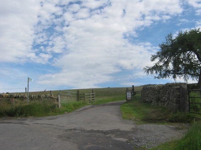
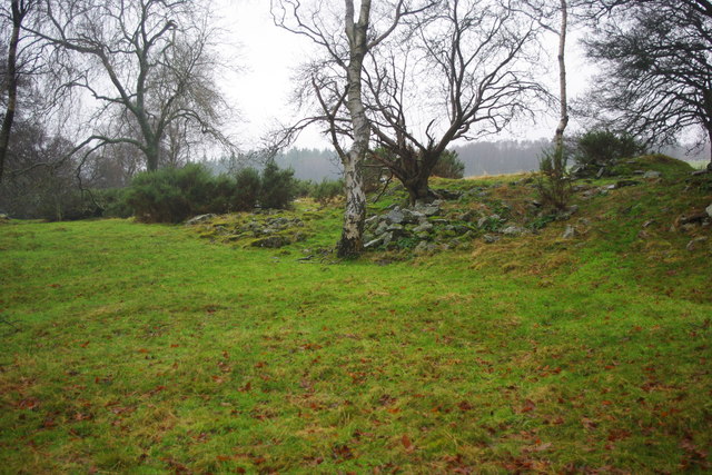
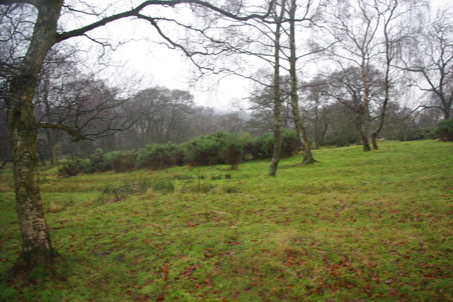
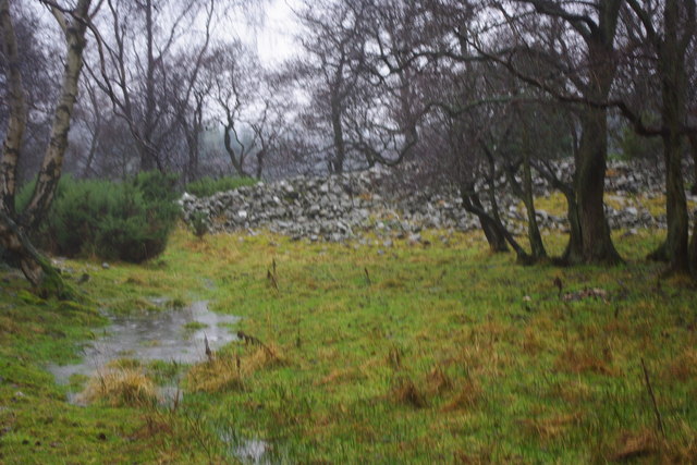
West Hoppyland Allotments is a well-established communal gardening space located in Durham, England. Situated in the scenic surroundings of Downs and Moorland, these allotments offer a peaceful and picturesque setting for gardening enthusiasts.
Covering a substantial area, West Hoppyland Allotments provide individual plots for cultivation and gardening activities. The allotments are divided into various sections, each assigned to different individuals or families, allowing for a diverse range of crops and plants to be grown. These plots are generously sized, providing ample space for gardeners to exercise their creativity and indulge in their passion for horticulture.
The allotments are managed by a dedicated committee, elected by the gardeners themselves, ensuring a fair and organized system for the allocation of plots. Regular meetings are held to discuss maintenance, improvements, and any issues or concerns raised by the gardeners. This community-driven approach fosters a sense of camaraderie and encourages the sharing of knowledge and experiences amongst the gardeners.
In addition to the individual plots, West Hoppyland Allotments also boast communal areas for the benefit of all gardeners. These communal spaces include a greenhouse, tool shed, and composting facilities, allowing for the exchange of tools and resources. The allotments also organize social events and competitions, promoting a sense of community and friendly competition among the gardeners.
Overall, West Hoppyland Allotments in Durham provide a serene and supportive environment for gardening enthusiasts to pursue their passion and enjoy the rewards of growing their own produce.
If you have any feedback on the listing, please let us know in the comments section below.
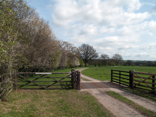
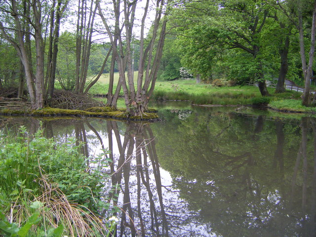
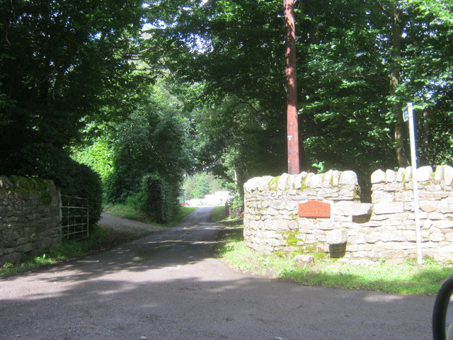
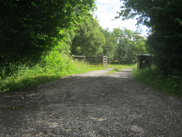
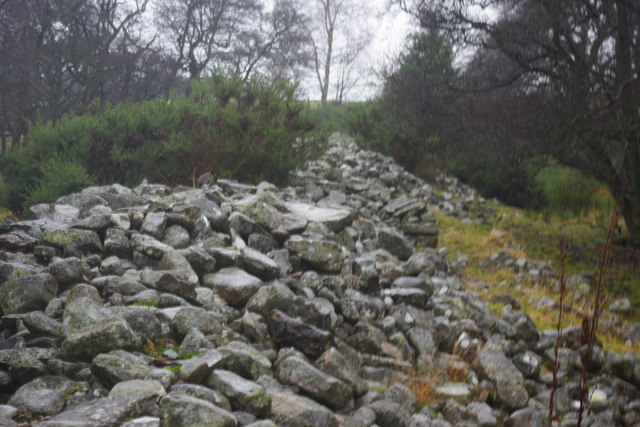
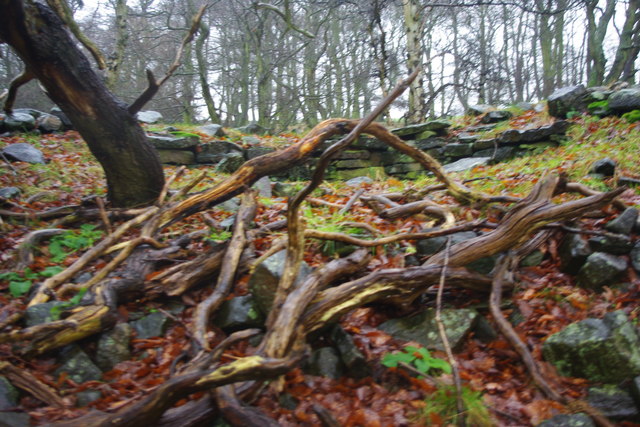
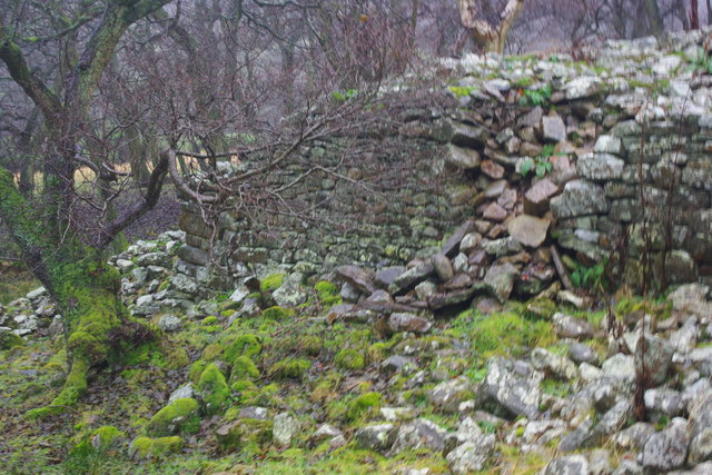
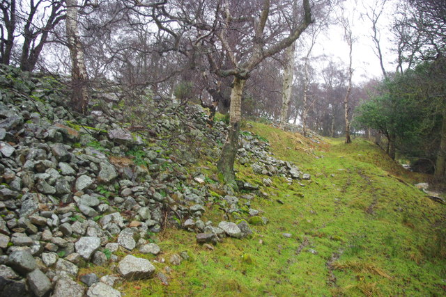
West Hoppyland Allotments Images
Images are sourced within 2km of 54.683702/-1.8602032 or Grid Reference NZ0932. Thanks to Geograph Open Source API. All images are credited.


West Hoppyland Allotments is located at Grid Ref: NZ0932 (Lat: 54.683702, Lng: -1.8602032)
Unitary Authority: County Durham
Police Authority: Durham
What 3 Words
///deflation.tissue.strutted. Near Hamsterley, Co. Durham
Nearby Locations
Related Wikis

Bedburn
Bedburn is a village in County Durham, in England. It is in the civil parish of South Bedburn, near Hamsterley, and Hamsterley Forest. The Bedburn Beck...

South Bedburn
South Bedburn is a civil parish in County Durham, England. The population of the civil parish at the 2011 census was 171. == References == == External... ==
Hamsterley Forest
Hamsterley Forest is a commercial forest in County Durham owned and managed by Forestry England. It is the largest forest in County Durham and covers...
Low Redford Meadows
Low Redford Meadows is a Site of Special Scientific Interest in the Teesdale district of County Durham, England. It consists of two separate areas of meadows...

County Durham
County Durham, officially simply Durham (/ˈdʌrəm/), is a ceremonial county in North East England. The county borders Northumberland and Tyne and Wear to...
Frog Wood Bog
Frog Wood Bog is a Site of Special Scientific Interest in the Teesdale district of County Durham, England. It lies alongside Bedburn Beck, approximately...
Hamsterley, Bishop Auckland
Hamsterley is a village in County Durham, England. It is situated a few miles west of Bishop Auckland. The village lies on a rise above the upper reaches...
Harperley railway station
Harperley railway station served the Harperley Hall Estate and the nearby hamlet of Low Harperley, close to the village of Fir Tree in County Durham, North...
Have you been to West Hoppyland Allotments?
Leave your review of West Hoppyland Allotments below (or comments, questions and feedback).