West Knotty Hill
Hill, Mountain in Durham
England
West Knotty Hill

West Knotty Hill is a prominent elevated landform located in County Durham, England. Situated near the village of Knitsley, it is classified as a hill rather than a mountain due to its relatively modest elevation. West Knotty Hill stands at approximately 194 meters (636 feet) above sea level, offering breathtaking panoramic views of the surrounding countryside.
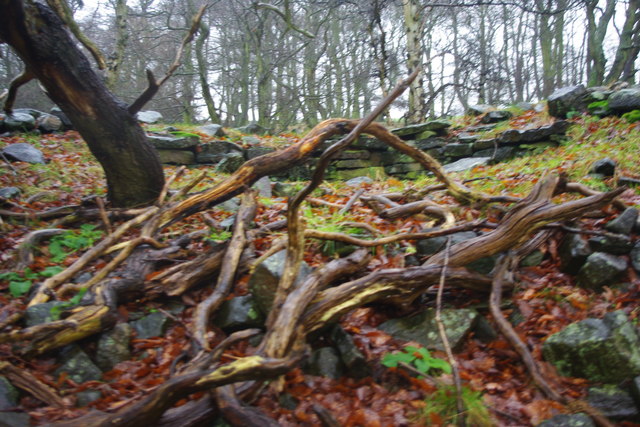
This hill is characterized by its gentle and rolling topography, with a grassy surface that is ideal for leisurely walks and outdoor activities. It boasts a diverse ecosystem, featuring a mix of woodland, meadows, and patches of shrubs. The hill is home to a variety of flora and fauna, including wildflowers, birds, and small mammals, making it a popular destination for nature enthusiasts and wildlife observers.
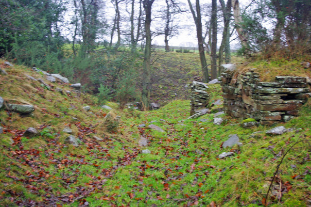
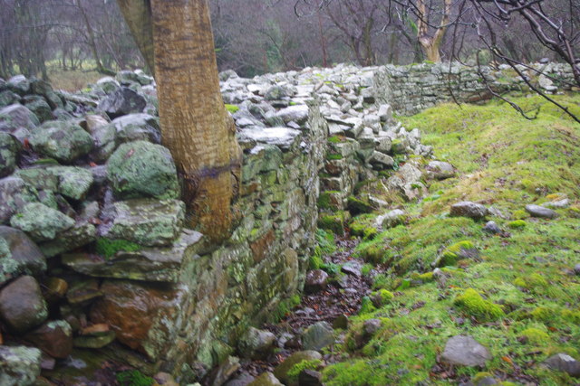
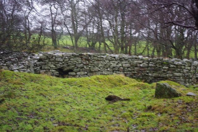
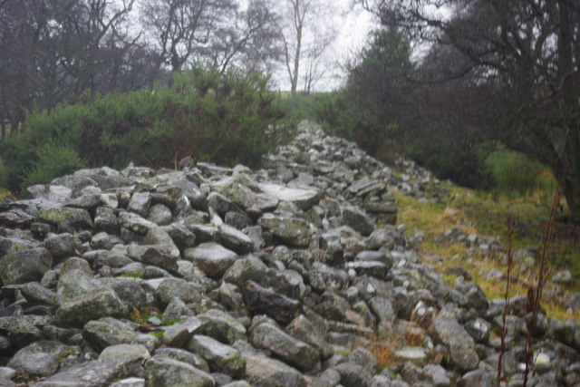
The area surrounding West Knotty Hill has a rich history, with evidence of human habitation dating back thousands of years. Archaeological remains, such as ancient burial mounds and settlements, have been discovered in the vicinity, providing insights into the region's past. The hill itself has been a site of interest for geologists, who have identified layers of sedimentary rock formations that date back millions of years.
West Knotty Hill offers visitors a peaceful and tranquil escape from the hustle and bustle of urban life. Its picturesque landscape and serene ambiance make it an ideal spot for picnicking, hiking, or simply enjoying the beauty of nature. With its accessibility and natural charm, West Knotty Hill stands as a cherished landmark in the Durham countryside.
If you have any feedback on the listing, please let us know in the comments section below.
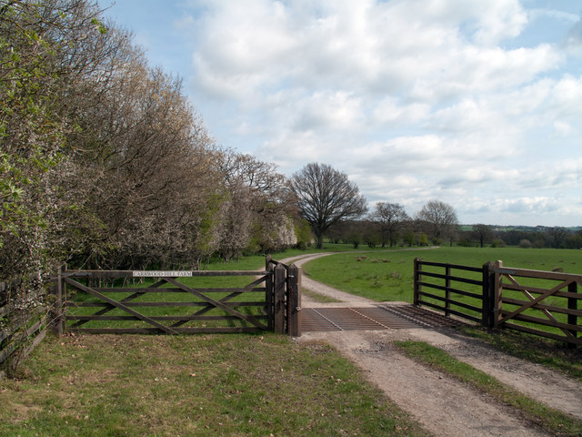
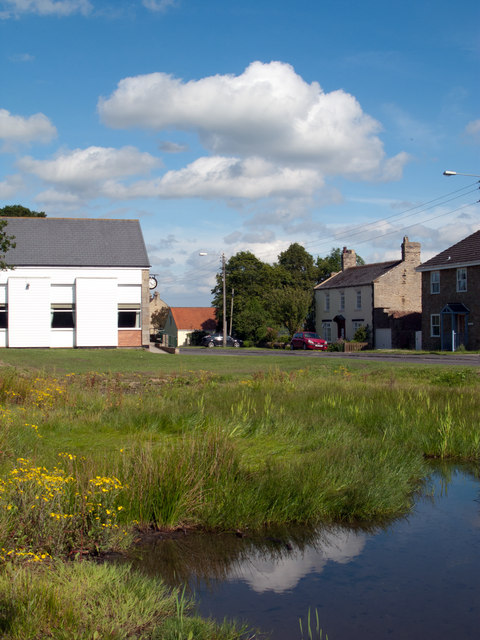
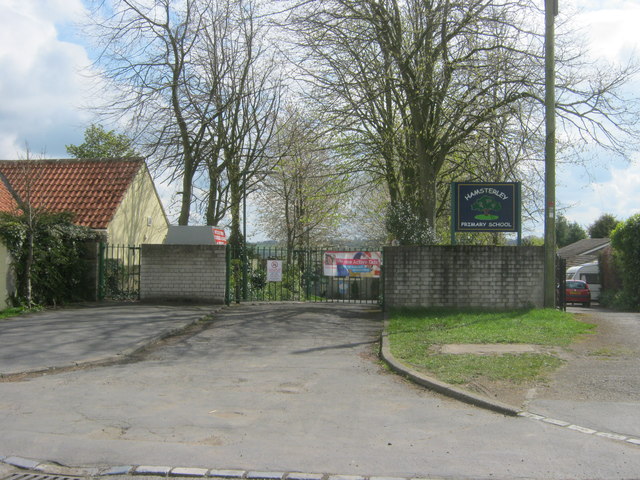
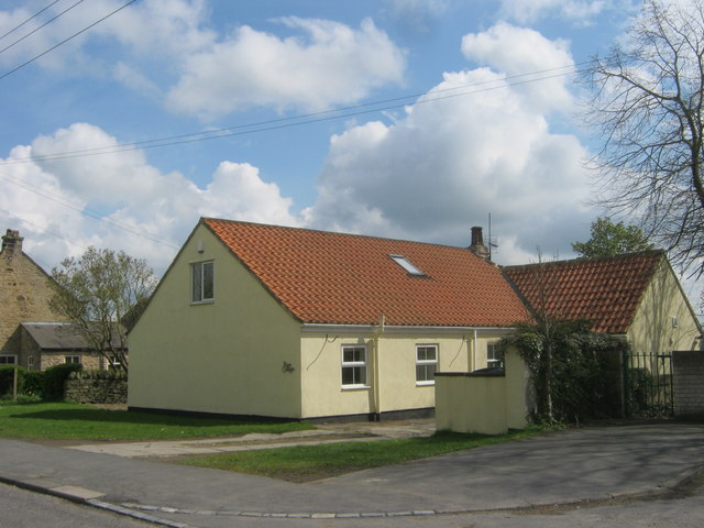
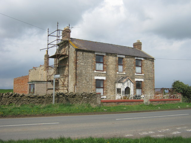
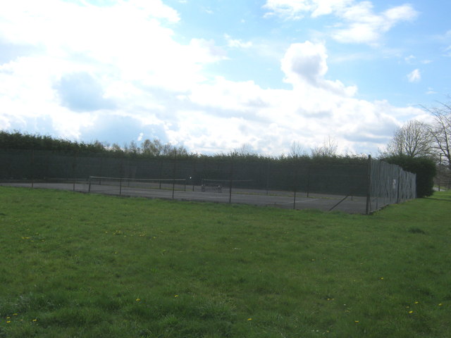
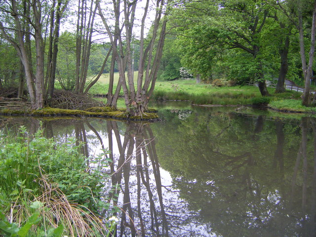
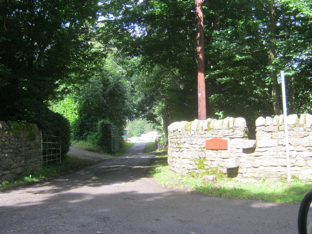
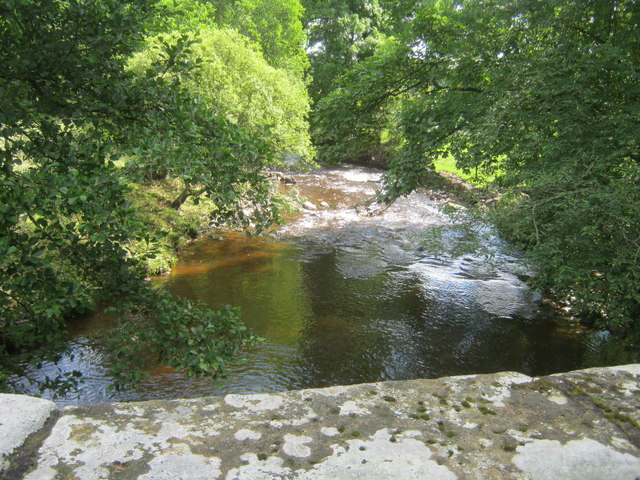
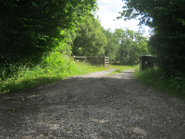
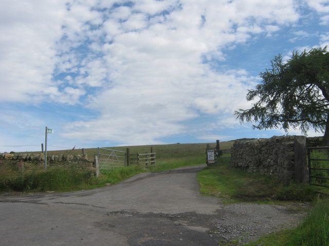
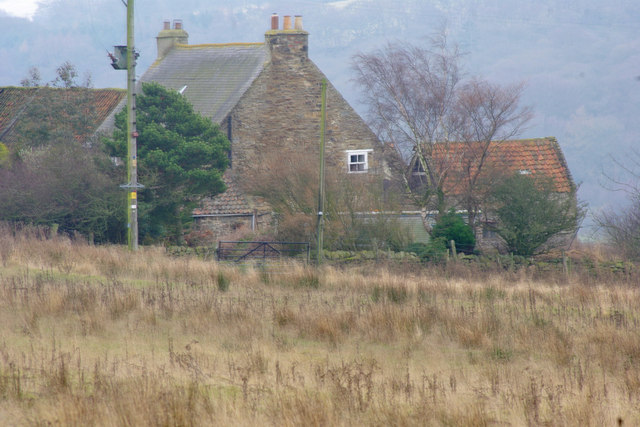
West Knotty Hill Images
Images are sourced within 2km of 54.683715/-1.8487099 or Grid Reference NZ0932. Thanks to Geograph Open Source API. All images are credited.
West Knotty Hill is located at Grid Ref: NZ0932 (Lat: 54.683715, Lng: -1.8487099)
Unitary Authority: County Durham
Police Authority: Durham
What 3 Words
///teaspoons.anthems.bleaching. Near Hamsterley, Co. Durham
Nearby Locations
Related Wikis

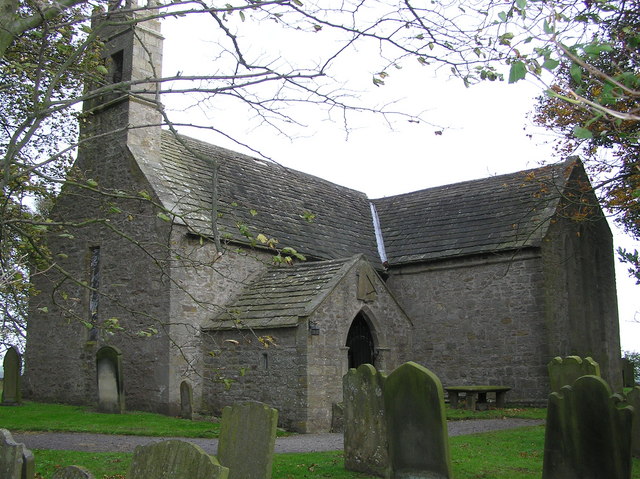
Bedburn
Bedburn is a village in County Durham, in England. It is in the civil parish of South Bedburn, near Hamsterley, and Hamsterley Forest. The Bedburn Beck...

South Bedburn
South Bedburn is a civil parish in County Durham, England. The population of the civil parish at the 2011 census was 171. == References == == External... ==
Hamsterley Forest
Hamsterley Forest is a commercial forest in County Durham owned and managed by Forestry England. It is the largest forest in County Durham and covers...
Low Redford Meadows
Low Redford Meadows is a Site of Special Scientific Interest in the Teesdale district of County Durham, England. It consists of two separate areas of meadows...

County Durham
County Durham, officially simply Durham (/ˈdʌrəm/), is a ceremonial county in North East England. The county borders Northumberland and Tyne and Wear to...
Hamsterley, Bishop Auckland
Hamsterley is a village in County Durham, England. It is situated a few miles west of Bishop Auckland. The village lies on a rise above the upper reaches...

Bedburn Beck
Bedburn Beck is a 16.8 kilometres (10.4 mi) long, upper tributary of the River Wear in County Durham, England. The beck and its tributaries, including...
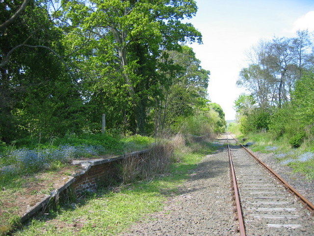
Harperley railway station
Harperley railway station served the Harperley Hall Estate and the nearby hamlet of Low Harperley, close to the village of Fir Tree in County Durham, North...
Related Videos
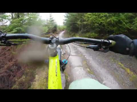
Hamsterley Forest on the standard red and blacks riding my 180mm travel Specialized Kenevo eBike
Hamsterley Forest in February 2024 on my 2019 Specialized Kenevo eBike with 180mm travel Fox 38 29" fork at the front and ...
Bedburn Beck & Hamsterley, North Pennines - 15 May 2021
A 11.6 mile walk from Bedburn just outside of Hamsterley. The route initially heads into Hamsterley Forest along the Bedburn ...
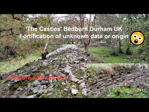
The historical mystery of The Castles - Bedburn - Durham England 🇬🇧
An enigmatic earthwork with dry stone walls of uncertain date. ' The Castles' is a trapezoidal enclosure covering just over an acre ...

Hamsterley Forest Classic Retro and Vintage Car Show
In this episode we take a look at some of the cars that attended the Hamsterley classic retro and vintage car show at Hamsterley ...
Nearby Amenities
Located within 500m of 54.683715,-1.8487099Have you been to West Knotty Hill?
Leave your review of West Knotty Hill below (or comments, questions and feedback).