Well Covert
Wood, Forest in Durham
England
Well Covert

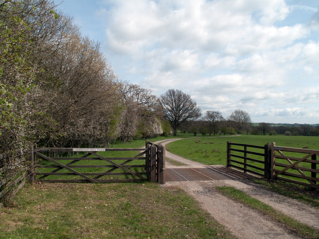
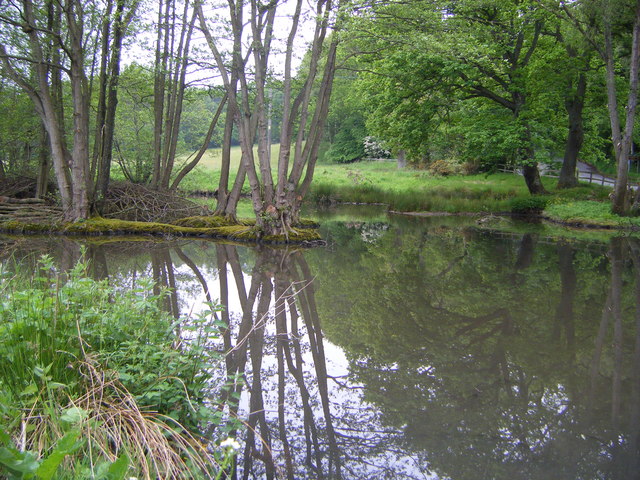
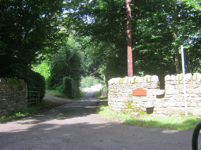
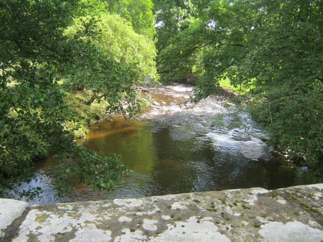
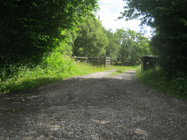
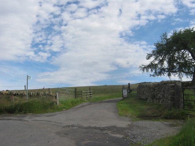
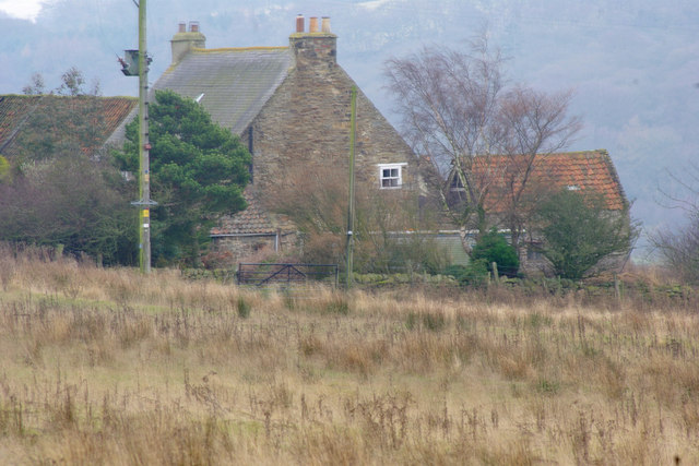
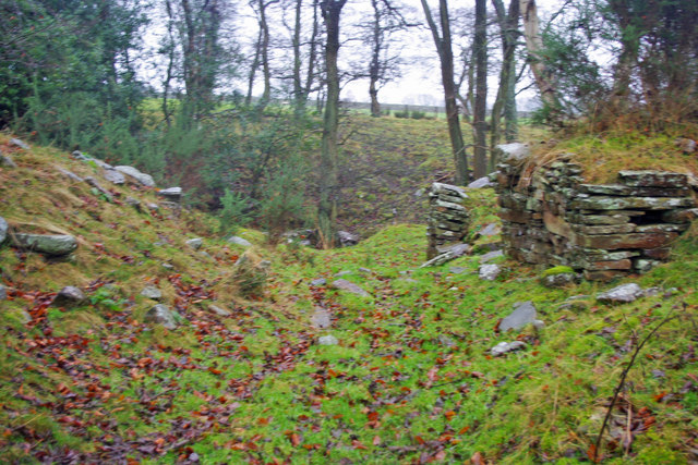
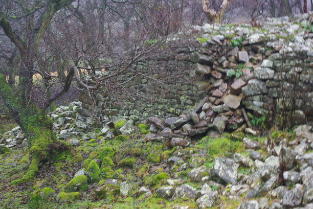
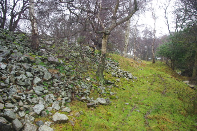
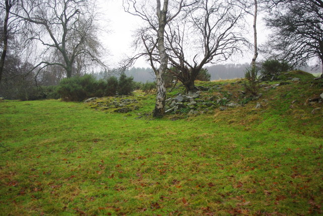
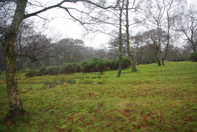
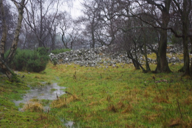
Well Covert is a beautiful wood area located in Durham, England. Nestled within a dense forest, it offers a serene and peaceful environment for nature enthusiasts and those seeking tranquility. Spanning across a vast area, it is a popular destination for hikers, birdwatchers, and photographers.
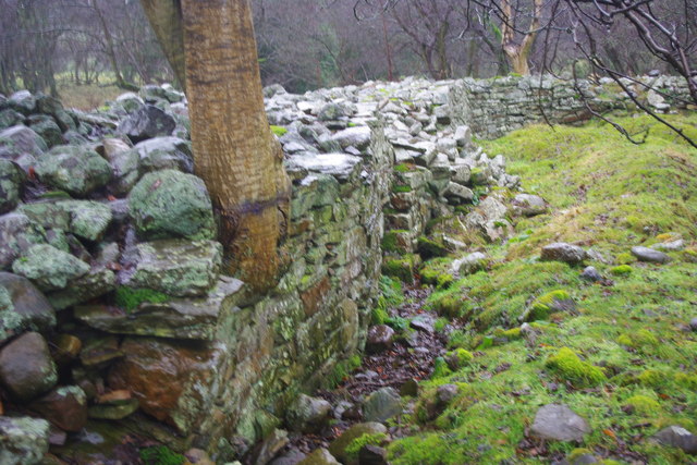
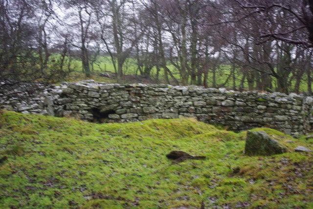
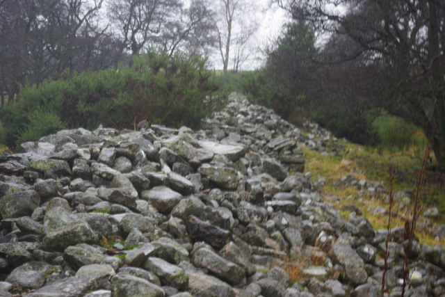
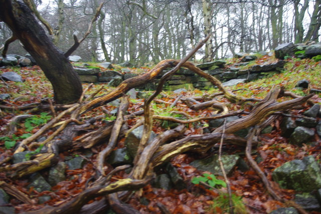
The wood is known for its diverse range of tree species, including oak, beech, and birch, which provide a stunning display of colors during different seasons. The dense canopy of trees creates a shaded and cool atmosphere, even during hot summer months. This makes it an ideal spot for picnics, walks, and other outdoor activities.
Well Covert is also home to a variety of wildlife, making it a haven for nature lovers. Visitors may spot a range of bird species, such as woodpeckers, owls, and thrushes, as well as small mammals like squirrels and rabbits. The wood's natural setting and abundance of fauna create an immersive experience for anyone exploring its trails.
The wood is well-maintained, with clearly marked paths and signposts, ensuring visitors can navigate easily. It is also accessible to wheelchair users and families with strollers, making it an inclusive destination for all. Additionally, there are designated picnic areas and benches scattered throughout the wood, offering visitors the opportunity to relax and enjoy the peaceful surroundings.
Overall, Well Covert in Durham is a natural gem, offering a picturesque and tranquil woodland experience. Its diverse flora and fauna, well-maintained trails, and accessibility make it an ideal destination for nature enthusiasts and those seeking a peaceful retreat.
If you have any feedback on the listing, please let us know in the comments section below.
Well Covert Images
Images are sourced within 2km of 54.68693/-1.8549182 or Grid Reference NZ0932. Thanks to Geograph Open Source API. All images are credited.
Well Covert is located at Grid Ref: NZ0932 (Lat: 54.68693, Lng: -1.8549182)
Unitary Authority: County Durham
Police Authority: Durham
What 3 Words
///logged.inhaled.splashes. Near Hamsterley, Co. Durham
Nearby Locations
Related Wikis

Bedburn
Bedburn is a village in County Durham, in England. It is in the civil parish of South Bedburn, near Hamsterley, and Hamsterley Forest. The Bedburn Beck...

South Bedburn
South Bedburn is a civil parish in County Durham, England. The population of the civil parish at the 2011 census was 171. == References == == External... ==
Hamsterley Forest
Hamsterley Forest is a commercial forest in County Durham owned and managed by Forestry England. It is the largest forest in County Durham and covers...
Low Redford Meadows
Low Redford Meadows is a Site of Special Scientific Interest in the Teesdale district of County Durham, England. It consists of two separate areas of meadows...

County Durham
County Durham, officially simply Durham (/ˈdʌrəm/), is a ceremonial county in North East England. The county borders Northumberland and Tyne and Wear to...
Hamsterley, Bishop Auckland
Hamsterley is a village in County Durham, England. It is situated a few miles west of Bishop Auckland. The village lies on a rise above the upper reaches...
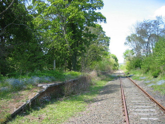
Harperley railway station
Harperley railway station served the Harperley Hall Estate and the nearby hamlet of Low Harperley, close to the village of Fir Tree in County Durham, North...
Frog Wood Bog
Frog Wood Bog is a Site of Special Scientific Interest in the Teesdale district of County Durham, England. It lies alongside Bedburn Beck, approximately...
Nearby Amenities
Located within 500m of 54.68693,-1.8549182Have you been to Well Covert?
Leave your review of Well Covert below (or comments, questions and feedback).