North Wood
Wood, Forest in Durham
England
North Wood
North Wood, Durham, also known as Wood or Forest, is a small village located in the northern part of Durham County, England. Situated near the border with Northumberland, this rural settlement is surrounded by picturesque landscapes and natural beauty.
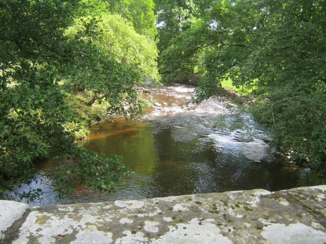
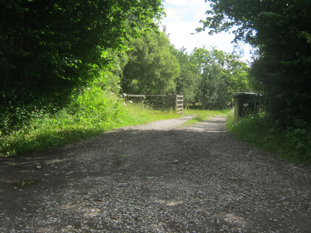
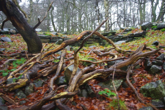
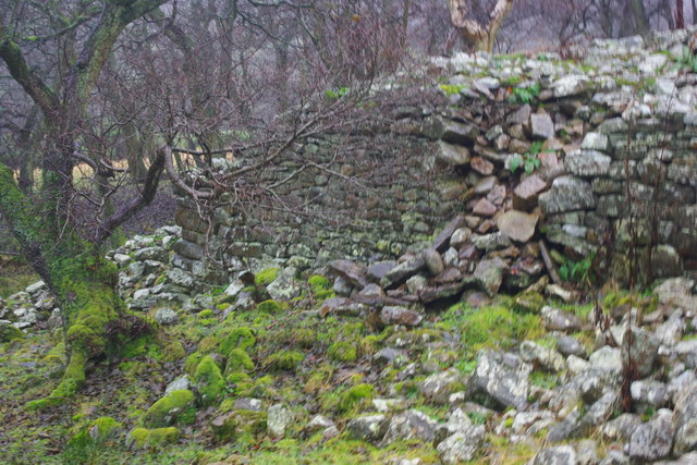
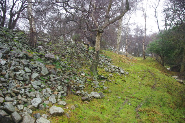
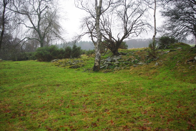
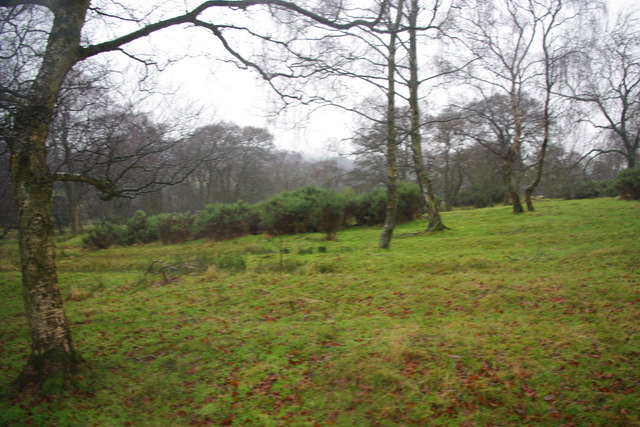
The village gets its name from the dense woodland that envelops the area, providing residents with a serene and peaceful atmosphere. The woodlands are home to a variety of native flora and fauna, making it an ideal destination for nature lovers and wildlife enthusiasts.
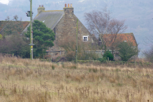
North Wood has a tight-knit community with a population of around 500 residents. The village is characterized by charming stone cottages, giving it a traditional and rustic feel. The residents are known for their friendly and welcoming nature, creating a warm and inclusive environment for both locals and visitors.
Despite its small size, North Wood offers basic amenities to cater to the needs of its residents. There is a local convenience store that provides everyday essentials, as well as a village pub where locals can gather and socialize. For more extensive shopping and entertainment options, the nearby towns of Durham and Newcastle are easily accessible.
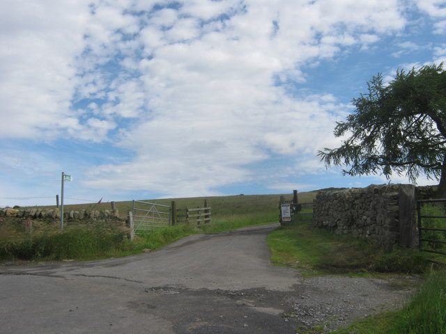
The village is surrounded by stunning natural attractions, including Northumberland National Park and Durham Dales. These areas offer opportunities for hiking, cycling, and exploring the beautiful countryside. Additionally, the historic city of Durham is a short distance away, boasting a magnificent cathedral, a UNESCO World Heritage Site, and a vibrant cultural scene.
Overall, North Wood, Durham is a charming and idyllic village that offers a peaceful retreat from the hustle and bustle of city life. Its natural beauty, close-knit community, and proximity to larger towns and attractions make it an attractive place to visit or call home.
If you have any feedback on the listing, please let us know in the comments section below.
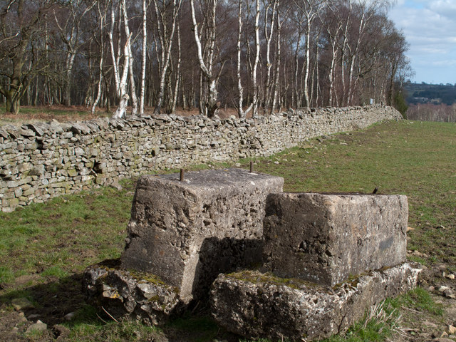
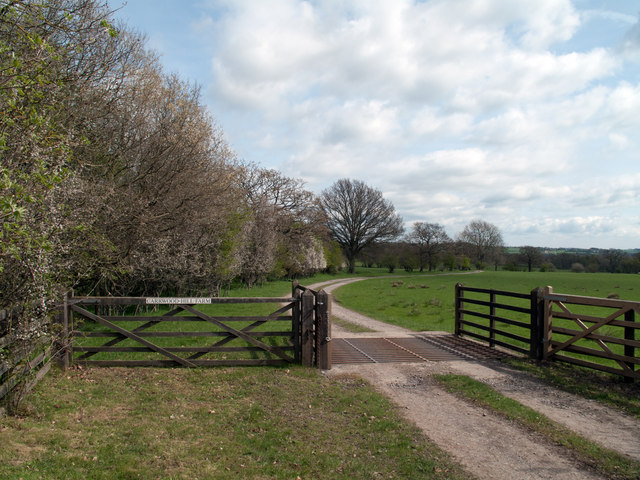
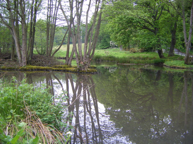
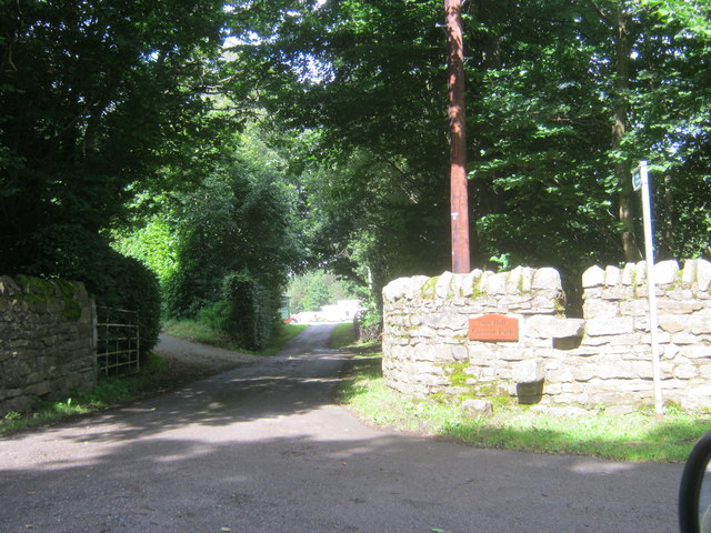
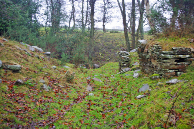
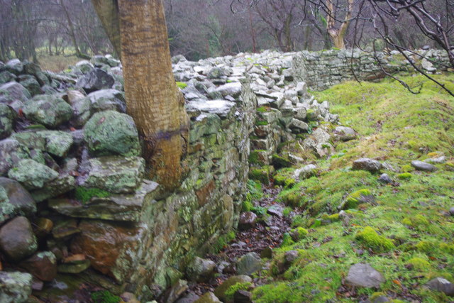
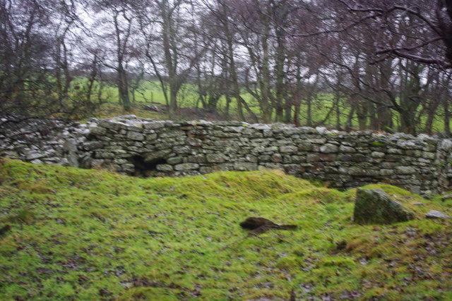
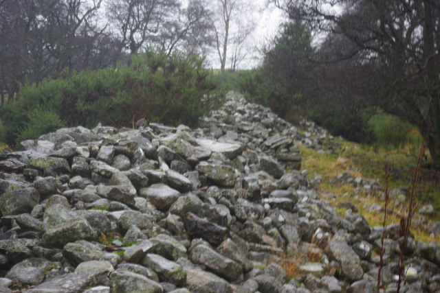
North Wood Images
Images are sourced within 2km of 54.69023/-1.84836 or Grid Reference NZ0932. Thanks to Geograph Open Source API. All images are credited.

North Wood is located at Grid Ref: NZ0932 (Lat: 54.69023, Lng: -1.84836)
Unitary Authority: County Durham
Police Authority: Durham
What 3 Words
///guess.elbowing.sharpens. Near Hamsterley, Co. Durham
Nearby Locations
Related Wikis

Bedburn
Bedburn is a village in County Durham, in England. It is in the civil parish of South Bedburn, near Hamsterley, and Hamsterley Forest. The Bedburn Beck...

South Bedburn
South Bedburn is a civil parish in County Durham, England. The population of the civil parish at the 2011 census was 171. == References == == External... ==
Hamsterley Forest
Hamsterley Forest is a commercial forest in County Durham owned and managed by Forestry England. It is the largest forest in County Durham and covers...
Low Redford Meadows
Low Redford Meadows is a Site of Special Scientific Interest in the Teesdale district of County Durham, England. It consists of two separate areas of meadows...
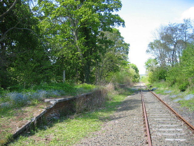
Harperley railway station
Harperley railway station served the Harperley Hall Estate and the nearby hamlet of Low Harperley, close to the village of Fir Tree in County Durham, North...
Hamsterley, Bishop Auckland
Hamsterley is a village in County Durham, England. It is situated a few miles west of Bishop Auckland. The village lies on a rise above the upper reaches...

County Durham
County Durham, officially simply Durham (/ˈdʌrəm/), is a ceremonial county in North East England. The county borders Northumberland and Tyne and Wear to...

Bedburn Beck
Bedburn Beck is a 16.8 kilometres (10.4 mi) long, upper tributary of the River Wear in County Durham, England. The beck and its tributaries, including...
Nearby Amenities
Located within 500m of 54.69023,-1.84836Have you been to North Wood?
Leave your review of North Wood below (or comments, questions and feedback).