Broom Hill Wood
Wood, Forest in Durham
England
Broom Hill Wood

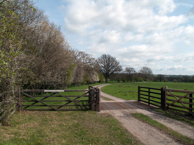
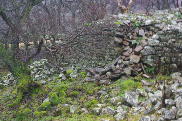
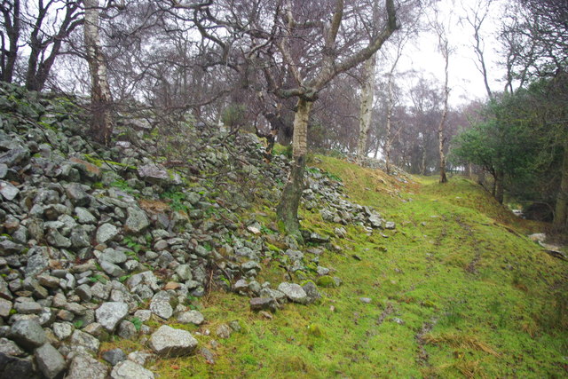
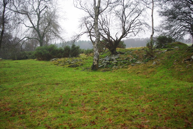
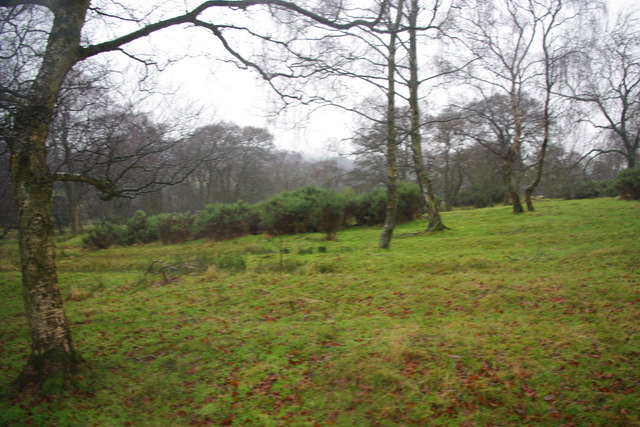
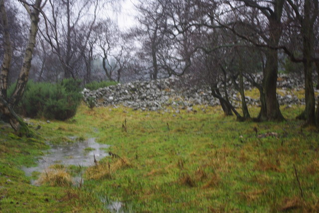
Broom Hill Wood is a picturesque woodland located in Durham, England. Covering an area of approximately 10 hectares, this enchanting forest is a haven for nature enthusiasts and provides a serene escape from the bustling city life. The wood is situated in close proximity to the city center, making it easily accessible for visitors.
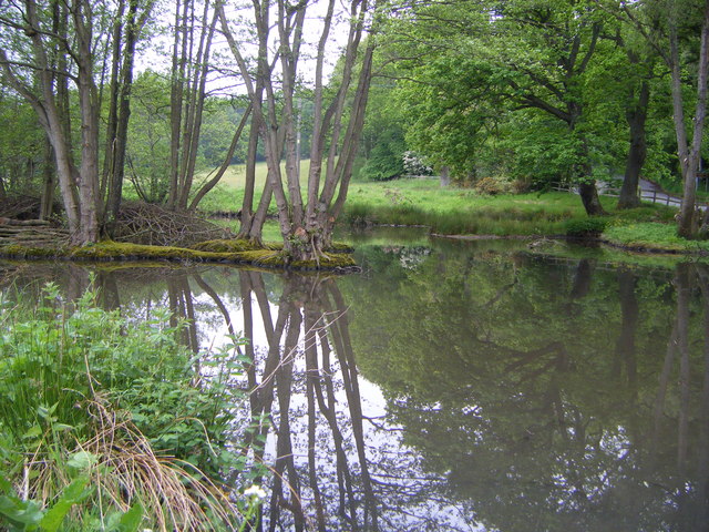
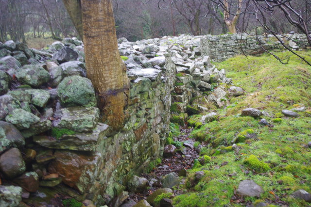
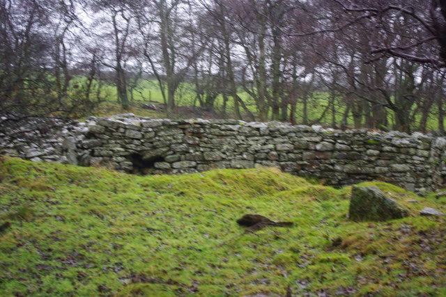
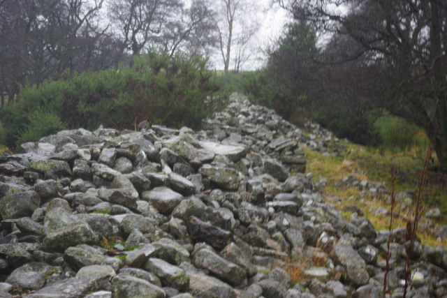
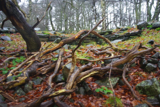
The woodland is characterized by its diverse range of trees, including oak, beech, hazel, and birch, which create a vibrant and lush canopy overhead. The forest floor is adorned with a carpet of bluebells during spring, enhancing the ethereal beauty of the surroundings.
Broom Hill Wood is home to a variety of wildlife, making it a popular spot for birdwatching and animal spotting. Visitors may have the opportunity to see species such as woodpeckers, tawny owls, and various small mammals. The diverse ecosystem also supports a range of flora, including ferns, wildflowers, and mosses.
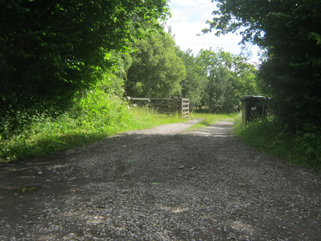
The wood offers several walking trails, allowing visitors to explore its enchanting beauty at their own pace. These pathways wind through the forest, providing glimpses of hidden clearings and picturesque views. The tranquil atmosphere and the soothing sounds of nature make Broom Hill Wood an ideal place for relaxation, picnicking, or simply immersing oneself in the wonders of the natural world.
Additionally, the wood is managed by local authorities, ensuring its conservation and preservation for future generations to enjoy. Broom Hill Wood truly offers a peaceful retreat from the urban landscape, inviting visitors to connect with nature and experience the tranquility of this enchanting forest.
If you have any feedback on the listing, please let us know in the comments section below.
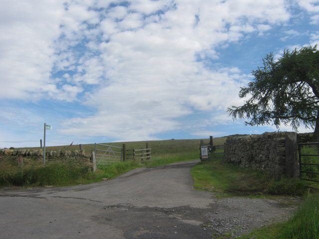
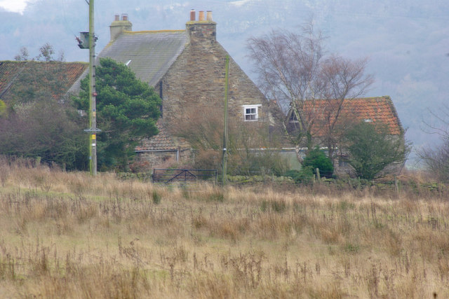
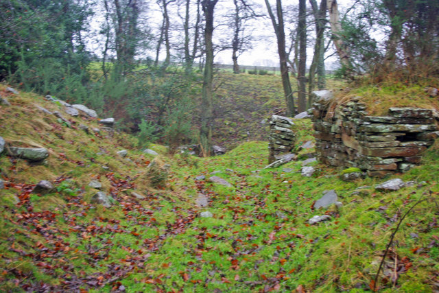
Broom Hill Wood Images
Images are sourced within 2km of 54.689811/-1.8510918 or Grid Reference NZ0932. Thanks to Geograph Open Source API. All images are credited.
Broom Hill Wood is located at Grid Ref: NZ0932 (Lat: 54.689811, Lng: -1.8510918)
Unitary Authority: County Durham
Police Authority: Durham
What 3 Words
///warbler.pulp.proved. Near Hamsterley, Co. Durham
Nearby Locations
Related Wikis

Bedburn
Bedburn is a village in County Durham, in England. It is in the civil parish of South Bedburn, near Hamsterley, and Hamsterley Forest. The Bedburn Beck...

South Bedburn
South Bedburn is a civil parish in County Durham, England. The population of the civil parish at the 2011 census was 171. == References == == External... ==
Hamsterley Forest
Hamsterley Forest is a commercial forest in County Durham owned and managed by Forestry England. It is the largest forest in County Durham and covers...
Low Redford Meadows
Low Redford Meadows is a Site of Special Scientific Interest in the Teesdale district of County Durham, England. It consists of two separate areas of meadows...
Harperley railway station
Harperley railway station served the Harperley Hall Estate and the nearby hamlet of Low Harperley, close to the village of Fir Tree in County Durham, North...

County Durham
County Durham, officially simply Durham (/ˈdʌrəm/), is a ceremonial county in North East England. The county borders Northumberland and Tyne and Wear to...
Hamsterley, Bishop Auckland
Hamsterley is a village in County Durham, England. It is situated a few miles west of Bishop Auckland. The village lies on a rise above the upper reaches...

Bedburn Beck
Bedburn Beck is a 16.8 kilometres (10.4 mi) long, upper tributary of the River Wear in County Durham, England. The beck and its tributaries, including...
Nearby Amenities
Located within 500m of 54.689811,-1.8510918Have you been to Broom Hill Wood?
Leave your review of Broom Hill Wood below (or comments, questions and feedback).