Bankhouse Wood
Wood, Forest in Yorkshire
England
Bankhouse Wood
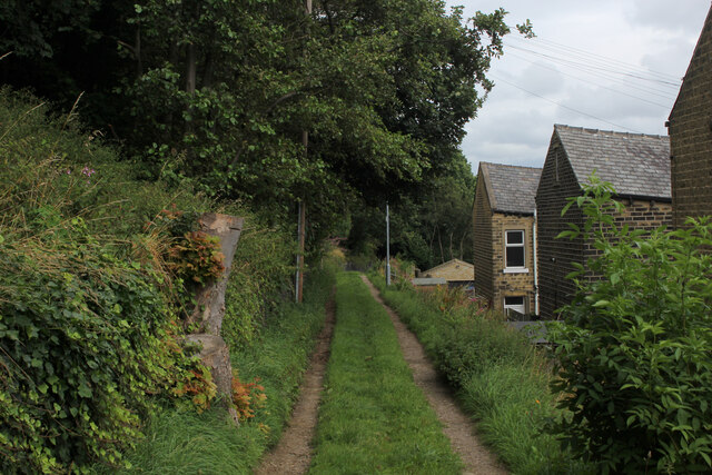
Bankhouse Wood is a beautiful woodland located in Yorkshire, England. Situated in the picturesque countryside, this enchanting forest covers an area of approximately 100 acres and is renowned for its diverse flora and fauna.
The wood is predominantly made up of native tree species, such as oak, beech, and birch. These majestic trees provide a stunning canopy overhead, creating a tranquil and shaded environment. Underneath this canopy, a rich undergrowth thrives, consisting of ferns, bluebells, and other wildflowers.
Bankhouse Wood is a haven for wildlife, attracting a wide range of species. Birdwatchers will delight in the opportunity to spot various birds, including woodpeckers, owls, and various species of warblers. The woodland is also home to small mammals like squirrels, rabbits, and foxes. Additionally, the nearby river attracts otters, which occasionally venture into the wood.
The wood offers a network of walking trails, allowing visitors to explore its natural beauty at their own pace. These paths wind through the forest, leading to scenic viewpoints and tranquil spots, perfect for picnicking or simply enjoying the peaceful surroundings.
Bankhouse Wood is a popular destination for nature lovers and outdoor enthusiasts, offering opportunities for hiking, birdwatching, and photography. The wood provides an escape from the bustling city life, allowing visitors to unwind and connect with nature in a serene and idyllic setting. Whether you are a local resident or a tourist, a visit to Bankhouse Wood is a must for those seeking a tranquil and immersive woodland experience.
If you have any feedback on the listing, please let us know in the comments section below.
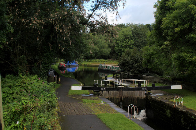
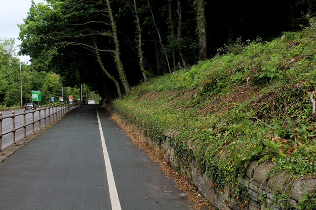
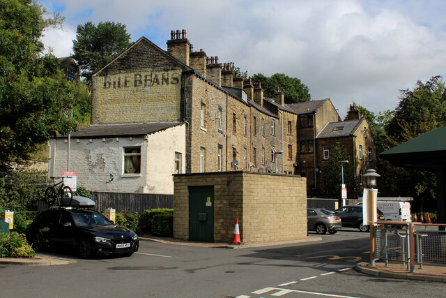
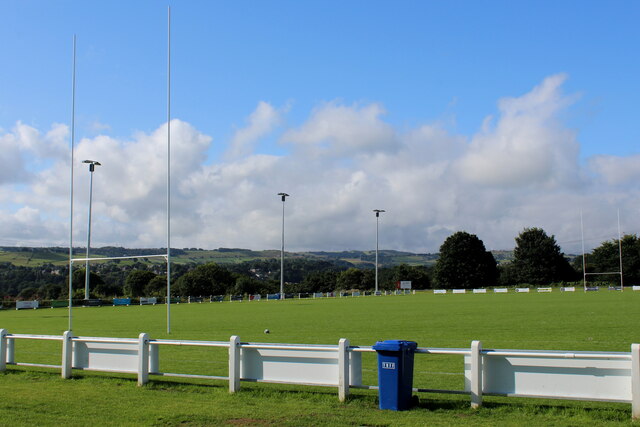
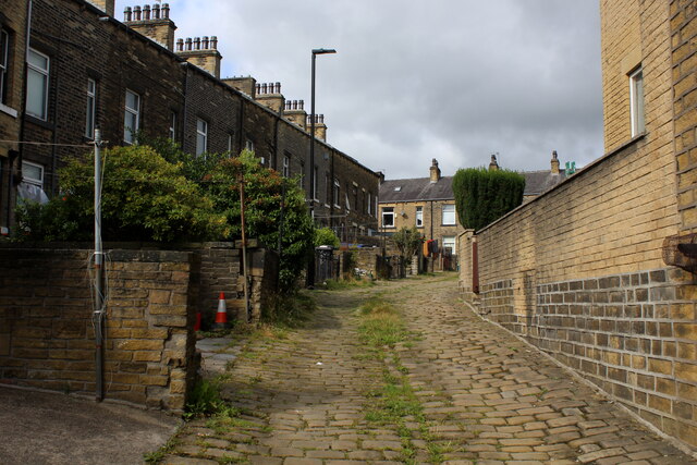
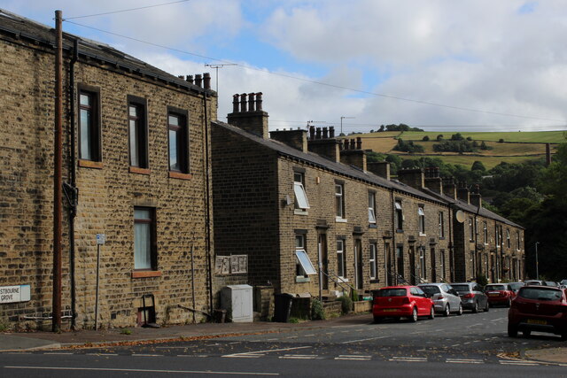
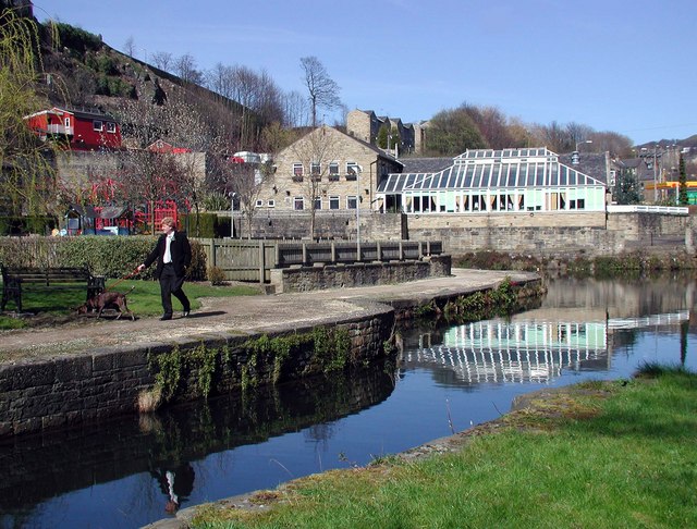
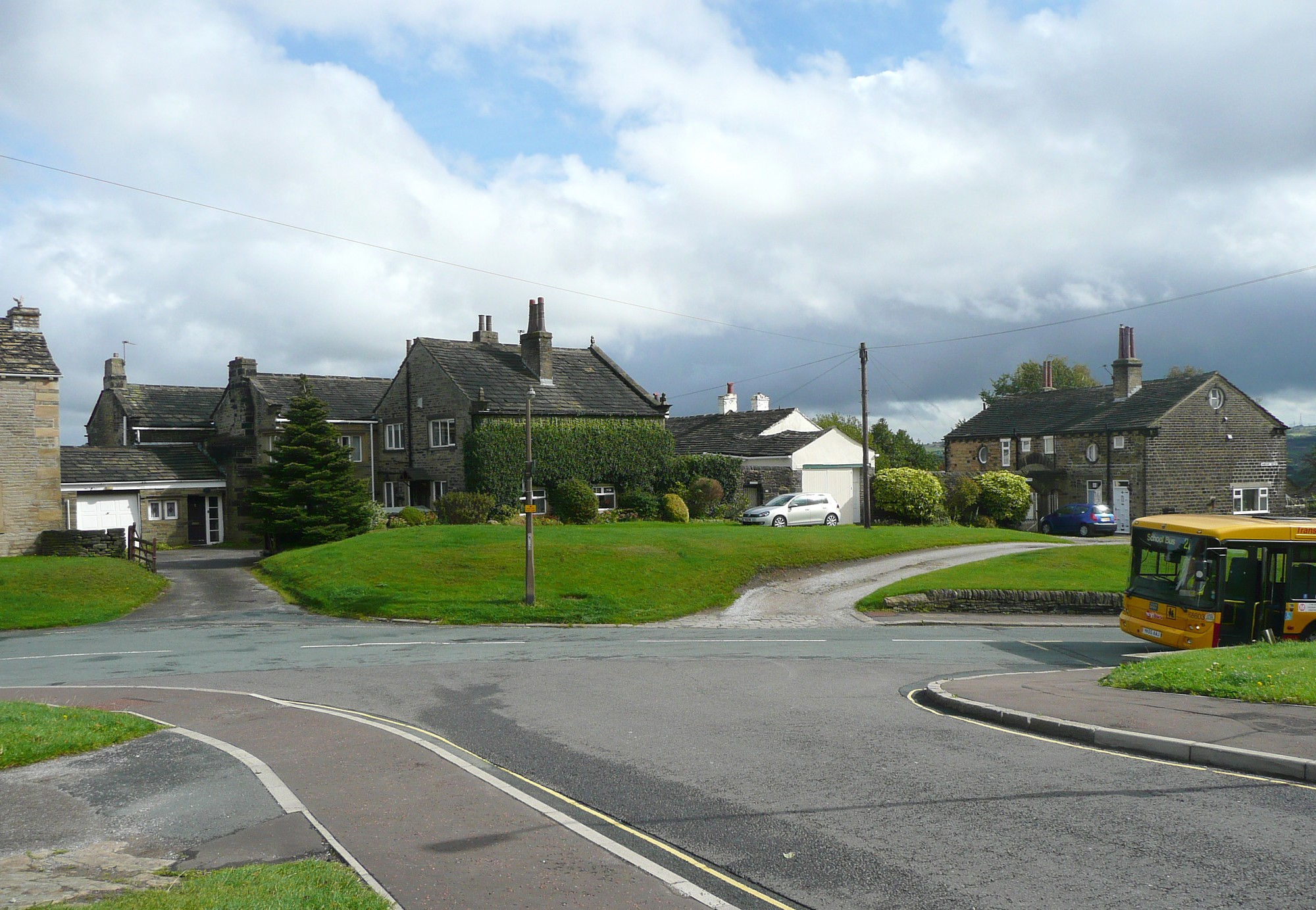
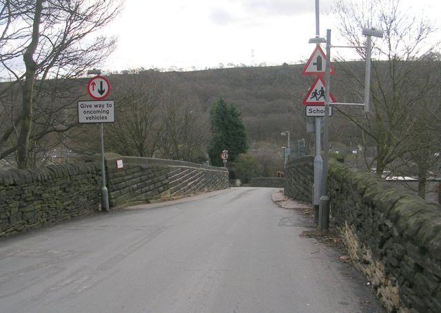
Bankhouse Wood Images
Images are sourced within 2km of 53.698972/-1.859149 or Grid Reference SE0922. Thanks to Geograph Open Source API. All images are credited.


Bankhouse Wood is located at Grid Ref: SE0922 (Lat: 53.698972, Lng: -1.859149)
Division: West Riding
Unitary Authority: Calderdale
Police Authority: West Yorkshire
What 3 Words
///deeply.jungle.rabble. Near Elland, West Yorkshire
Nearby Locations
Related Wikis

Hebble Brook
Hebble Brook is a river passing south from Ogden Reservoir, at Ogden, through Halifax and empties into the River Calder at Salterhebble. == Toponymy... ==
Salterhebble
Salterhebble is an area of Halifax, a town within the Metropolitan Borough of Calderdale, in West Yorkshire, England. The town falls within the Skircoat...
Skircoat Green
Skircoat Green () is an area to the south of Halifax, West Yorkshire, England. Skircoat is a ward of the Borough of Calderdale whose population at the...

Greetland railway station
Greetland railway station was a railway station that served the village of Greetland in West Yorkshire, England. == History == The station was originally...
Copley railway station
Copley railway station was a railway station that served the village of Copley in West Yorkshire, England. == References == Bairstow, Martin (1987). The...
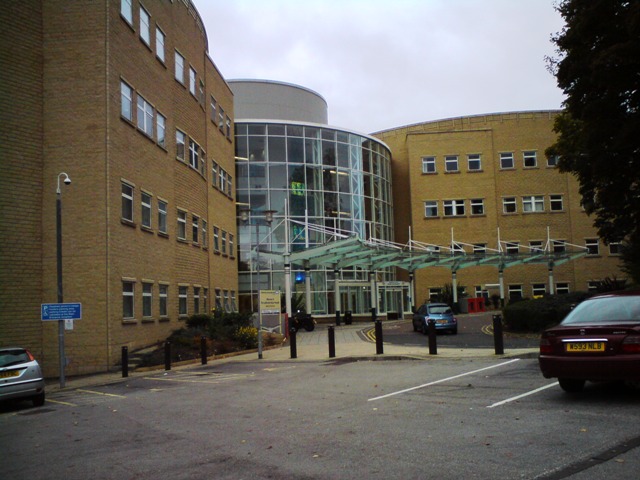
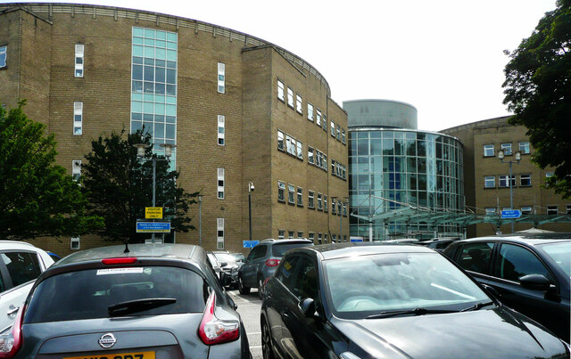
Calderdale Royal Hospital
The Calderdale Royal Hospital is a hospital situated in the English town of Halifax. It is located in the suburb of Salterhebble and provides general services...

Park Lane Academy
Park Lane Academy is a non-selective mixed secondary school located in Exley (near Halifax), West Yorkshire, England.Originally known as Exley County Secondary...

Copley, West Yorkshire
Copley is a village in the metropolitan borough of Calderdale, in the county of West Yorkshire, England, south of Halifax and east of Sowerby Bridge. It...
Nearby Amenities
Located within 500m of 53.698972,-1.859149Have you been to Bankhouse Wood?
Leave your review of Bankhouse Wood below (or comments, questions and feedback).