Bank Wood

Wood, Forest in Yorkshire

England

Bank Wood

Bus stop, retaining wall and pylon, Sowood near Huddersfield
Bus stop, retaining wall and pylon, Sowood near Huddersfield Credit: Steve Fareham

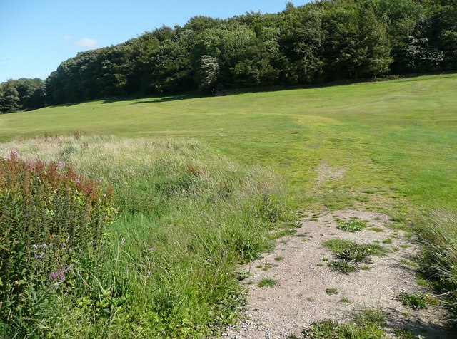
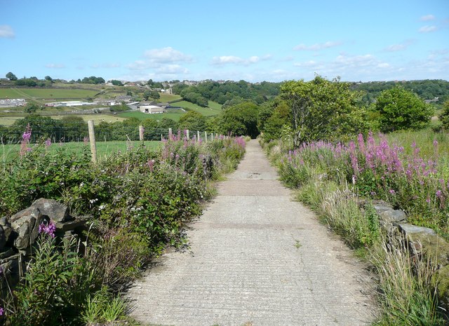
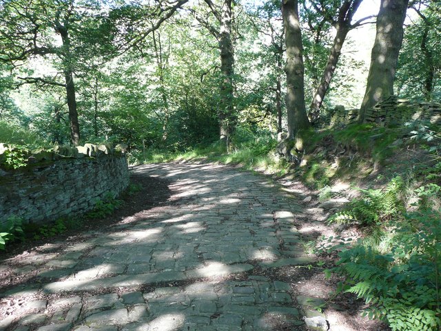
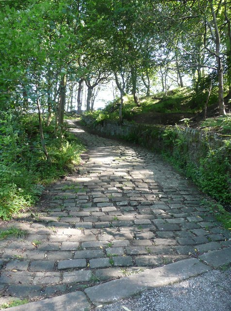
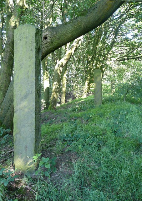
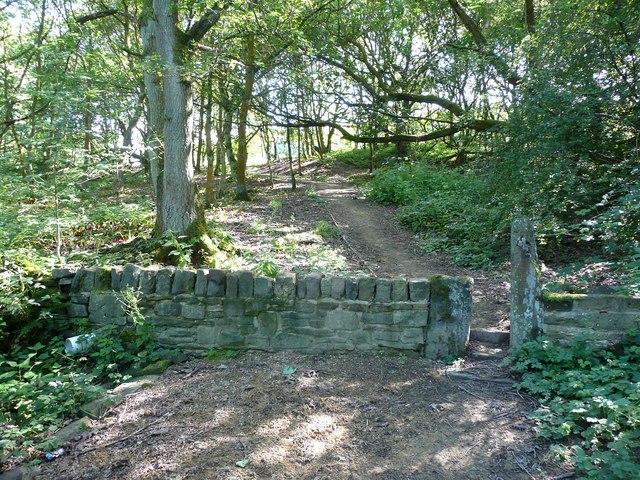
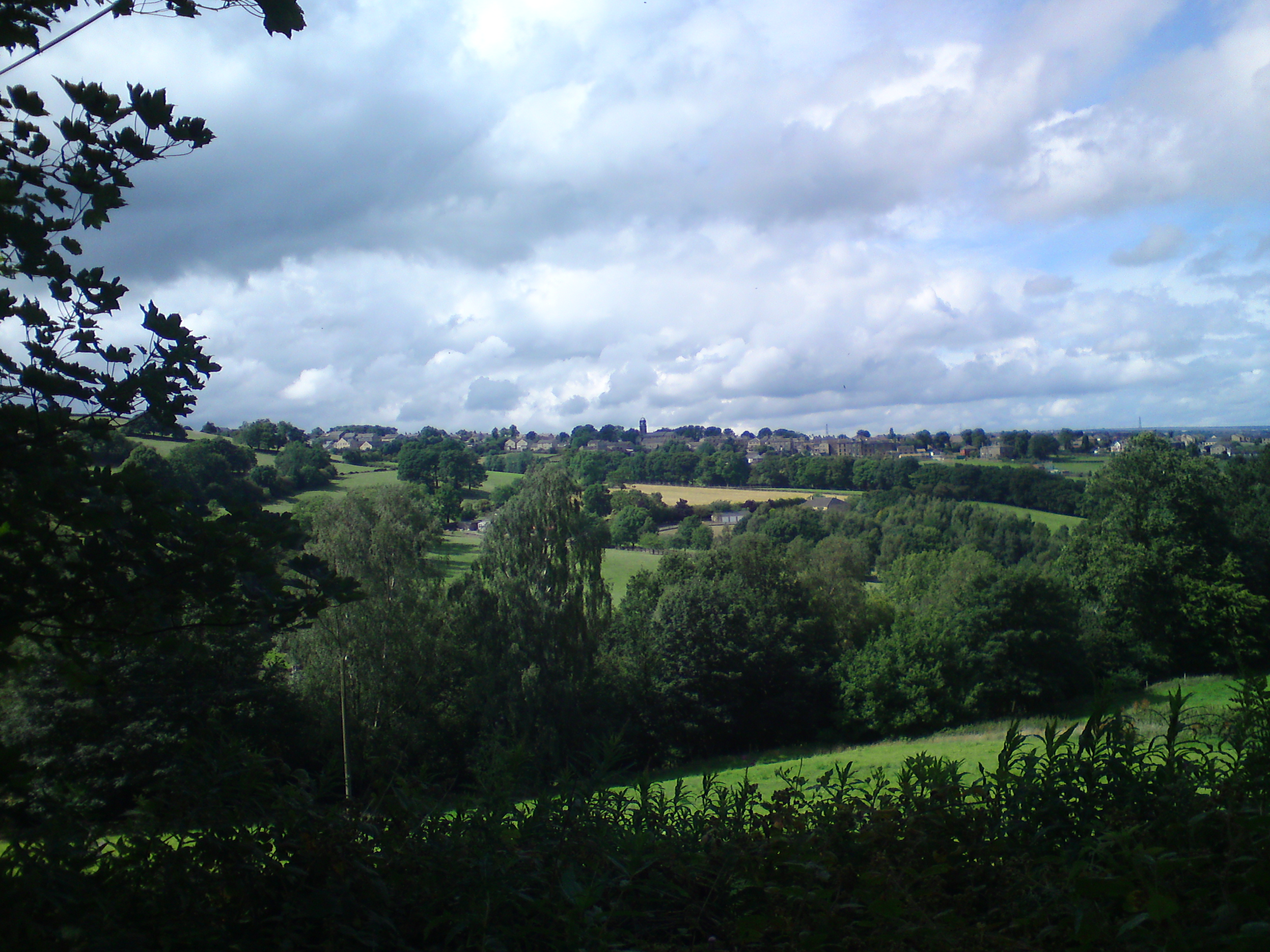
Bank Wood is a picturesque woodland located in Yorkshire, England. Situated in the heart of the county, it is known for its natural beauty and tranquil atmosphere. Covering an area of approximately 50 acres, Bank Wood is a diverse mix of ancient trees, dense undergrowth, and meandering pathways.

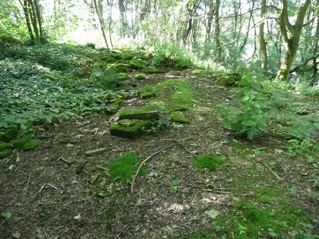
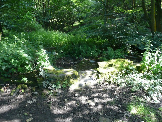
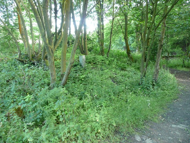
The woodland is home to a variety of tree species, including oak, beech, and birch. These towering trees provide a dense canopy, creating a shaded and cool environment even on the hottest summer days. The forest floor is carpeted with lush vegetation, such as bluebells, ferns, and wildflowers, adding to the enchanting ambiance of the woodland.

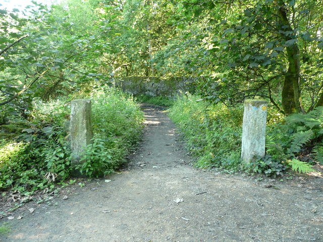
Bank Wood offers numerous walking trails, allowing visitors to explore the area at their own pace. The well-maintained pathways wind through the forest, leading to hidden clearings and peaceful spots where one can rest and appreciate the natural surroundings. Wildlife enthusiasts will be delighted to spot various species of birds, squirrels, and even the occasional deer that call Bank Wood their home.

The woodland is a popular destination for nature lovers, hikers, and families looking to spend quality time outdoors. The serene atmosphere and stunning scenery make it an ideal location for picnics, photography, and simply enjoying the serenity of nature.

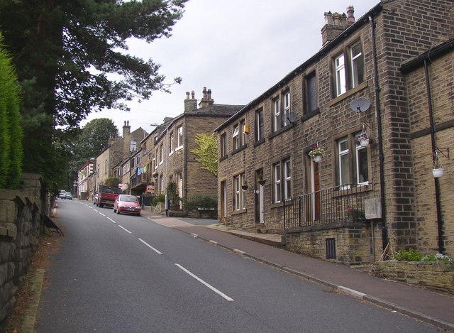
Bank Wood is easily accessible, with ample parking facilities and nearby amenities. Whether it's a leisurely stroll or an exploration of the natural wonders, Bank Wood promises a memorable experience for visitors of all ages and interests.

If you have any feedback on the listing, please let us know in the comments section below.
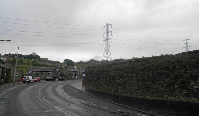
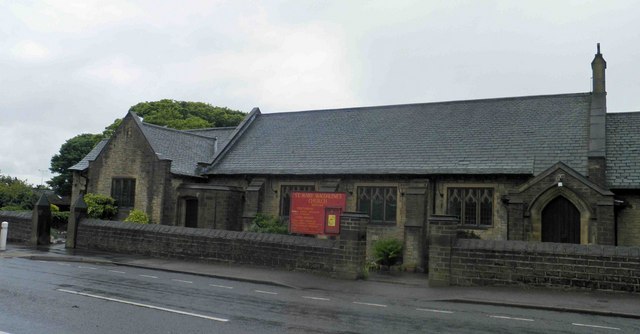
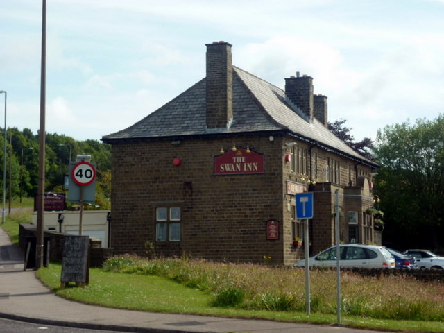
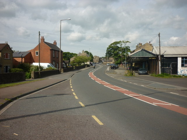
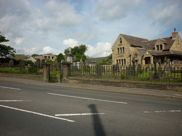
Bank Wood Images

Images are sourced within 2km of 53.669302/-1.8593537 or Grid Reference SE0919. Thanks to Geograph Open Source API. All images are credited.

Bus stop, retaining wall and pylon, Sowood near Huddersfield
St. Mary Magdalene's church, Outlane
The 643, Lindley Moor Road
The A640, New Hey Road, goes over the M62
The Swan Inn on New Hey Road, Outlane
New Hey Road, Outlane
A graveyard on New Hey Road, Outlane
Path across the golf course, Longwood This path leads to Nettleton Hill via the site of Petty Royd, with a branch up through Pighill Wood.
Path across the golf course, Longwood
This path leads to Nettleton Hill via the site of Petty Royd, with a branch up through Pighill Wood.
Shaw Lane, Longwood An old lane, shown on the 1850 six-inch map, now with a modern concrete surface.
Shaw Lane, Longwood
An old lane, shown on the 1850 six-inch map, now with a modern concrete surface.
Shaw Lane, Longwood The bend at the top of the climb up through Hirst Wood.
Shaw Lane, Longwood
The bend at the top of the climb up through Hirst Wood.
Shaw Lane, Longwood The climb up through Hirst Wood. Paving this lane with setts must have been expensive; was it paid for by the owner of Shaw, or by the township?
Shaw Lane, Longwood
The climb up through Hirst Wood. Paving this lane with setts must have been expensive; was it paid for by the owner of Shaw, or by the township?
Site of Petty Royd, Longwood From the name I assume that this was a farmstead made by clearing woodland in the medieval or early modern period. There is very little of the buildings left now.
Site of Petty Royd, Longwood
From the name I assume that this was a farmstead made by clearing woodland in the medieval or early modern period. There is very little of the buildings left now.
Stone posts at Petty Royd, Longwood It seems likely that these are tenter posts, but not the usual type. The cloth pieces were stretched between the post and a hook on the wall of a weaver's cottage. (information from Ian Beesley via Chris Allen)
Stone posts at Petty Royd, Longwood
It seems likely that these are tenter posts, but not the usual type. The cloth pieces were stretched between the post and a hook on the wall of a weaver's cottage. (information from Ian Beesley via Chris Allen)
Footpath east of Petty Royd, Longwood Eventually this path splits, with one way down to Leys and one along the top side of Longwood Reservoir.
Footpath east of Petty Royd, Longwood
Eventually this path splits, with one way down to Leys and one along the top side of Longwood Reservoir.
Entrance to Hirst Mill, Longwood Not very grand, but presumably there was a gate here at one time.
Entrance to Hirst Mill, Longwood
Not very grand, but presumably there was a gate here at one time.
Footpath in Hirst Wood, Longwood This looks very tidy, with the wall and stile repaired and an edging to the path, which leads onto and across the golf course.
Footpath in Hirst Wood, Longwood
This looks very tidy, with the wall and stile repaired and an edging to the path, which leads onto and across the golf course.
Ruin in the site of Hirst Mill, Longwood  Not enough left to guess what part of the mill this was. Hirst Mill was founded at the end of the 19C, and functioned until the early 20C.
Ruin in the site of Hirst Mill, Longwood
Not enough left to guess what part of the mill this was. Hirst Mill was founded at the end of the 19C, and functioned until the early 20C.
Site of Hirst Mill Cottages, Longwood There were two cottages here until the 1950s. Now all that is left is what looks like a gravestone.
Site of Hirst Mill Cottages, Longwood
There were two cottages here until the 1950s. Now all that is left is what looks like a gravestone.
Show me another place!

Bank Wood is located at Grid Ref: SE0919 (Lat: 53.669302, Lng: -1.8593537)

Division: West Riding

Unitary Authority: Calderdale

Police Authority: West Yorkshire

What 3 Words

///skills.ideas.raves. Near Holywell Green, West Yorkshire

Related Wikis

Old Lindley

Old Lindley or Over Lindley is a hamlet in the civil parish of Stainland and District, in the Calderdale district, in the county of West Yorkshire, England...

Stainland and Holywell Green railway station

Stainland and Holywell Green railway station served the villages of Stainland and Holywell Green in West Yorkshire, England from 1875 until 1929. Goods...

Stainland and District

Stainland and District is a civil parish in the Metropolitan Borough of Calderdale in West Yorkshire, England. The main settlements in the parish are Stainland...

Holywell Green

Holywell Green is a village in the civil parish of Stainland and District, in the Calderdale, district, in the county of West Yorkshire, England. The village...

Blackley, West Yorkshire

Blackley is a hamlet in the Calderdale district, in the county of West Yorkshire, England. It is near the town of Elland, the A629 road and the M62 motorway...

The Brooksbank School

The Brooksbank School is a secondary school with academy status in Elland, near Halifax in West Yorkshire, England. It is a sports college, as well as...

Stainland

Stainland is a village in the civil parish of Stainland and District, in Calderdale, West Yorkshire, England. The village is part of the Greetland and...

West Vale railway station

West Vale railway station served on the Stainland Branch from 1875 to 1929. == History == The station was opened on New years day 1875, along with the...

Nearby Amenities

Located within 500m of 53.669302,-1.8593537
Jagger Green
Is In: Stainland
Place: hamlet
Wikidata: Q109315859
Lat/Long: 53.6692586/-1.8627097
Old Lindley
Created By: Potlatch 0.10e
Is In: Stainland
Place: hamlet
Wikidata: Q18339932
Lat/Long: 53.6674696/-1.8601418
Power: tower
Lat/Long: 53.66745/-1.8544058
Power: tower
Lat/Long: 53.6658512/-1.8600268
Jagger Green Lane
Local Ref: 45024337
Naptan AtcoCode: 450024337
Naptan Bearing: N
Naptan BusStopType: CUS
Naptan CommonName: Jagger Green Lane
Naptan Crossing: Adj Benroyd Terrace
Naptan Indicator: Stop 45024337
Naptan PlusbusZoneRef: LEEDS
Naptan ShortCommonName: Jagger Green Lane
Naptan Street: Jagger Green Lane
Naptan Verified: no
Source: naptan_import
Lat/Long: 53.6710123/-1.8618641
Post Box
Operator: Royal Mail
Post Box Mounting: wooden_post
Post Box Type: lamp
Ref: HX4 270
Royal Cypher: EIIR
Lat/Long: 53.6692975/-1.863314
Barrier: stile
Lat/Long: 53.6702386/-1.8597097
Barrier: stile
Lat/Long: 53.6702194/-1.8579072
Barrier: stile
Lat/Long: 53.6703656/-1.8591518
Barrier: stile
Lat/Long: 53.669459/-1.8550896
Barrier: stile
Lat/Long: 53.6701145/-1.8557078
Power: pole
Lat/Long: 53.6654361/-1.8564642
Power: pole
Lat/Long: 53.6648211/-1.858685
Telephone
Booth: K6
Covered: booth
Listed Status: Grade II
Phone: +44 1422 374749
Lat/Long: 53.6693064/-1.8632909
The data included in this document is from www.openstreetmap.org. The data is made available under ODbL.

Have you been to Bank Wood?

Leave your review of Bank Wood below (or comments, questions and feedback).