Bonstone Wood
Wood, Forest in Yorkshire Ribble Valley
England
Bonstone Wood

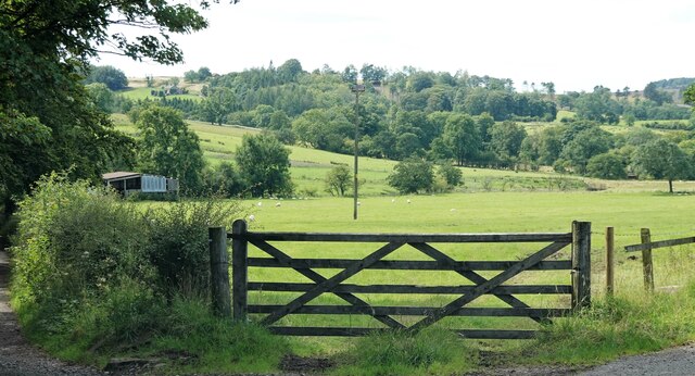
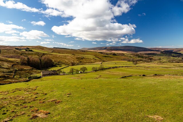
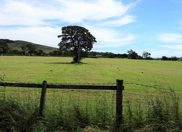
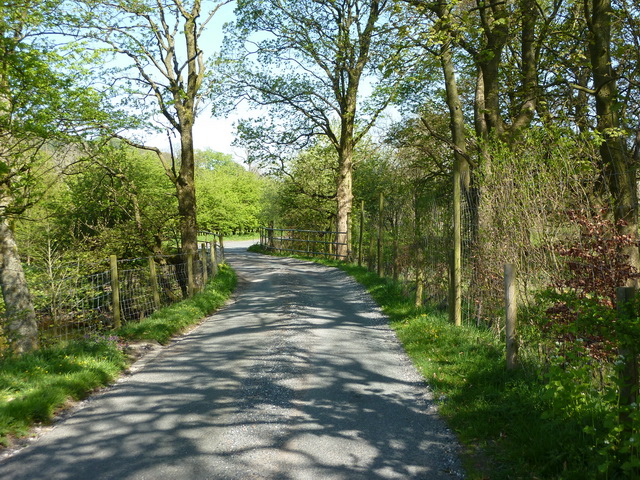
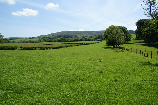
Bonstone Wood is a picturesque forest located in the county of Yorkshire, in the northern part of England. Covering an area of approximately 100 acres, it is a popular destination for nature enthusiasts, hikers, and families looking to immerse themselves in the beauty of the outdoors.
The wood is characterized by its dense canopy of oak, ash, and beech trees, which provide a cool and shady environment even during the warm summer months. The forest floor is carpeted with a variety of wildflowers, ferns, and mosses, creating a vibrant and diverse ecosystem.
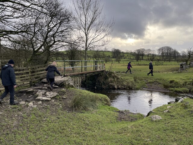
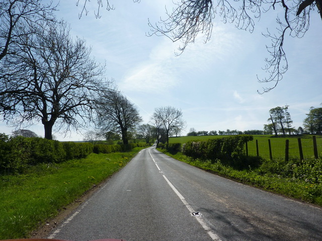
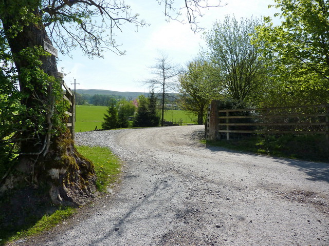
Several walking trails meander through the wood, offering visitors the opportunity to explore its natural wonders. These trails range in difficulty, catering to both casual strollers and more experienced hikers. Along the way, visitors may encounter a variety of wildlife, such as deer, rabbits, and a plethora of bird species.
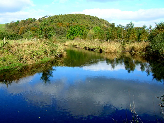
Bonstone Wood is also home to a small stream that runs through its heart, adding to the tranquility and beauty of the surroundings. The sound of running water provides a soothing backdrop as visitors take in the sights and sounds of the forest.
The wood is managed by a local conservation organization, ensuring the protection of its natural resources and the preservation of its ecosystem. It is open to the public year-round, with visitors often flocking to the wood during the autumn months to witness the stunning display of colorful foliage.
Overall, Bonstone Wood is a captivating destination that offers a delightful escape from the hustle and bustle of everyday life. Its natural beauty and serene atmosphere make it a must-visit location for anyone seeking a peaceful retreat in the heart of Yorkshire.
If you have any feedback on the listing, please let us know in the comments section below.
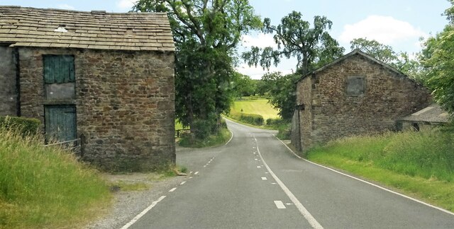
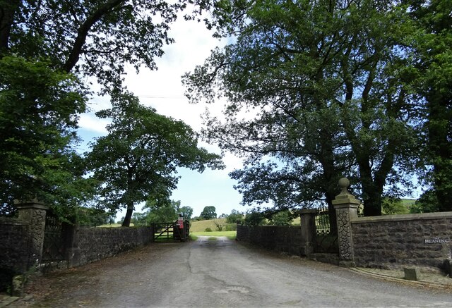
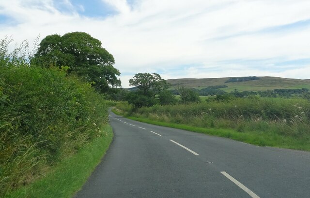
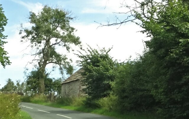
Bonstone Wood Images
Images are sourced within 2km of 53.933412/-2.467447 or Grid Reference SD6948. Thanks to Geograph Open Source API. All images are credited.


Bonstone Wood is located at Grid Ref: SD6948 (Lat: 53.933412, Lng: -2.467447)
Division: West Riding
Administrative County: Lancashire
District: Ribble Valley
Police Authority: Lancashire
What 3 Words
///sensible.shine.gilding. Near Waddington, Lancashire
Nearby Locations
Related Wikis

Newton-in-Bowland
Newton or Newton-in-Bowland is a village and civil parish in the Ribble Valley district, in the county of Lancashire, England, formerly known as Newton...

Bowland Rural District
Bowland was a rural district in the West Riding of Yorkshire from 1894 to 1974. It was named after the Forest of Bowland, which it included. It was formed...

Bowland Forest Low
Bowland Forest Low is a civil parish in the Ribble Valley district of Lancashire, England, covering some 5,500 acres (22 km2) of the Forest of Bowland...

Langden Brook
Langden Brook is a watercourse in the Trough of Bowland, Lancashire, England. A tributary of the River Hodder, its source is near the summit of Hawthornthwaite...

River Dunsop
The River Dunsop is a river in the Forest of Bowland in Northern England. It flows into the River Hodder at Dunsop Bridge.It begins at the confluence of...

Browsholme Hall
Browsholme Hall is a privately owned Tudor house in the parish of Bowland Forest Low in the borough of Ribble Valley, Lancashire (although historically...

Easington Fell
Easington Fell is a Marilyn in the Forest of Bowland in Lancashire, England. It has been surveyed to be 70 cm higher than a nearby fell of almost identical...

Dunsop Bridge (structure)
Dunsop Bridge is a bridge in the English village of the same name. The structure, which dates to the early 19th century, crosses the River Dunsop. A Grade...
Nearby Amenities
Located within 500m of 53.933412,-2.467447Have you been to Bonstone Wood?
Leave your review of Bonstone Wood below (or comments, questions and feedback).