Upper Bonstone Wood
Wood, Forest in Yorkshire Ribble Valley
England
Upper Bonstone Wood

Upper Bonstone Wood is a picturesque forest located in the county of Yorkshire, England. Covering an area of approximately 50 acres, this wood is a haven for nature enthusiasts and a popular destination for locals and tourists alike.
The wood is characterized by its dense canopy of mature trees, predominantly consisting of oak, beech, and birch. These towering trees create a tranquil and shady atmosphere, perfect for leisurely walks and wildlife spotting. The forest floor is adorned with a vibrant carpet of wildflowers, adding a splash of color to the landscape.
Traversing the wood is a network of well-maintained footpaths and trails, providing visitors with the opportunity to explore its diverse flora and fauna. The chirping of birds and rustling of leaves create a symphony of sounds, further enhancing the peaceful ambiance.
Upper Bonstone Wood is home to a rich variety of wildlife, with numerous species of birds, mammals, and insects calling this forest their habitat. Birdwatchers can spot woodpeckers, owls, and various songbirds, while lucky visitors might catch a glimpse of deer or foxes.
The wood also offers several amenities for visitors, including picnic areas and benches, allowing people to relax and enjoy the natural surroundings. Interpretive signs and information boards are strategically placed to provide educational insights about the woodland ecosystem.
Whether it's for a leisurely stroll, wildlife observation, or simply to immerse oneself in nature, Upper Bonstone Wood offers a serene and enchanting experience for all who visit.
If you have any feedback on the listing, please let us know in the comments section below.
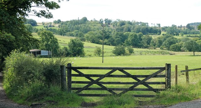
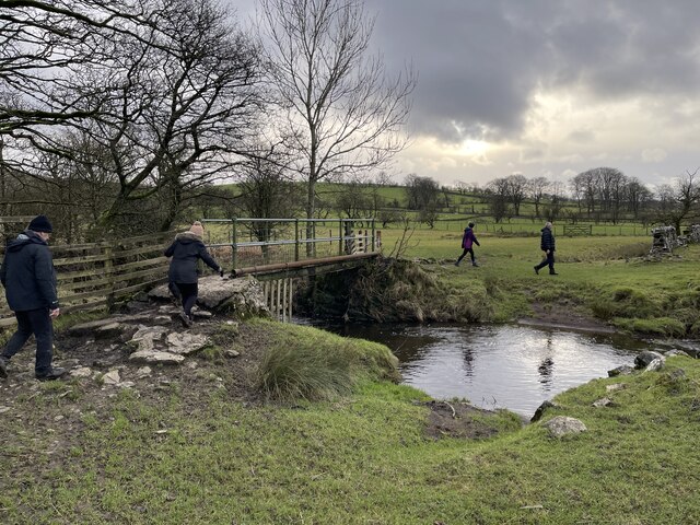
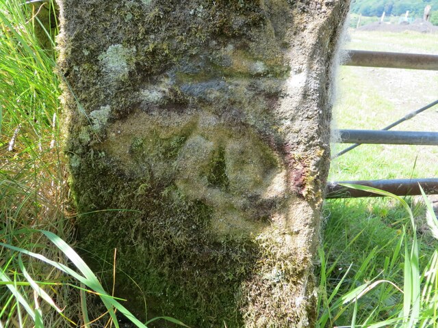
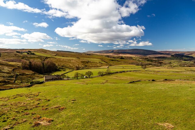
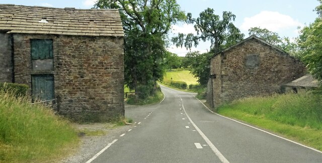
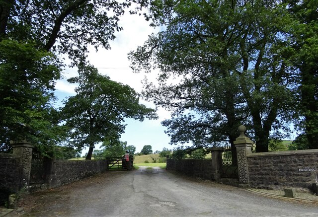
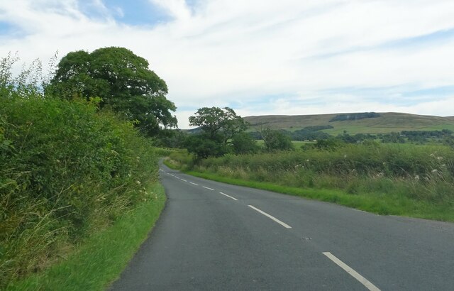
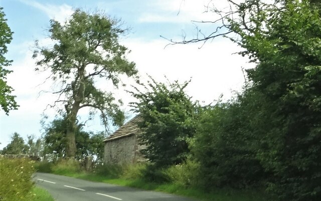
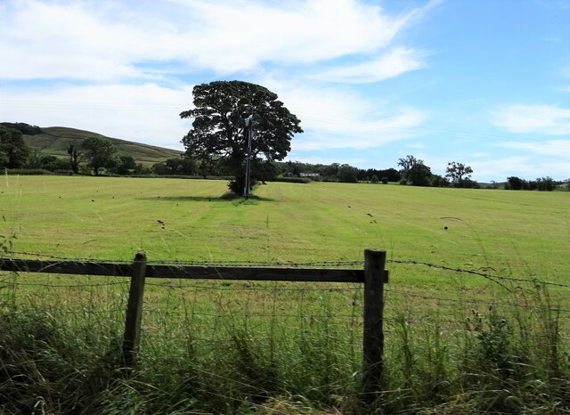
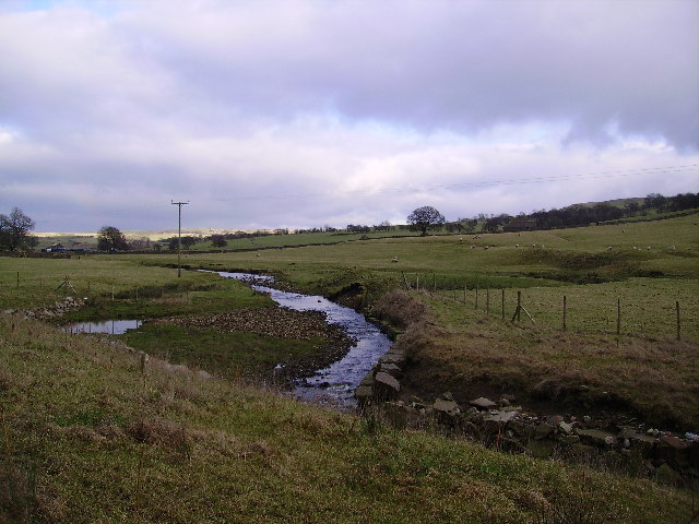
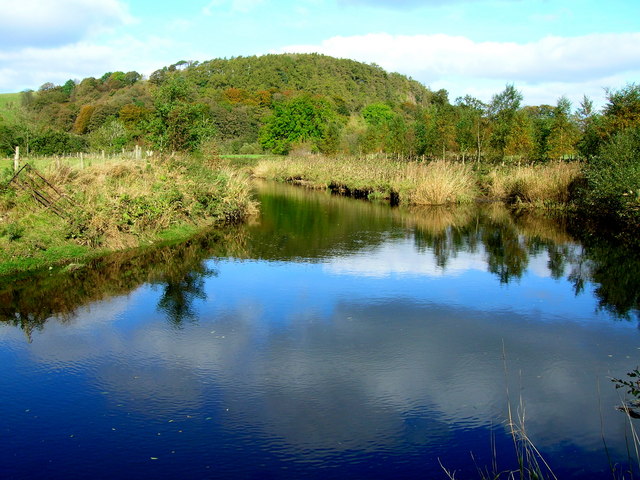
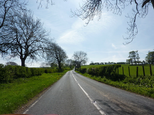
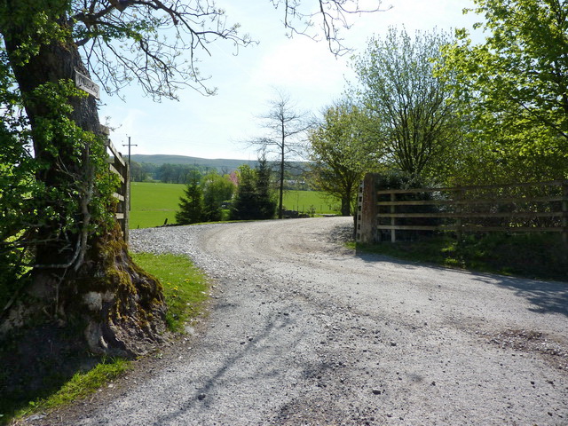
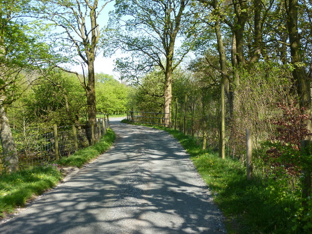
Upper Bonstone Wood Images
Images are sourced within 2km of 53.932526/-2.4618474 or Grid Reference SD6948. Thanks to Geograph Open Source API. All images are credited.


Upper Bonstone Wood is located at Grid Ref: SD6948 (Lat: 53.932526, Lng: -2.4618474)
Division: West Riding
Administrative County: Lancashire
District: Ribble Valley
Police Authority: Lancashire
What 3 Words
///evaded.roaring.coverings. Near Waddington, Lancashire
Nearby Locations
Related Wikis

Newton-in-Bowland
Newton or Newton-in-Bowland is a village and civil parish in the Ribble Valley district, in the county of Lancashire, England, formerly known as Newton...

Bowland Rural District
Bowland was a rural district in the West Riding of Yorkshire from 1894 to 1974. It was named after the Forest of Bowland, which it included. It was formed...

Bowland Forest Low
Bowland Forest Low is a civil parish in the Ribble Valley district of Lancashire, England, covering some 5,500 acres (22 km2) of the Forest of Bowland...

Easington Fell
Easington Fell is a Marilyn in the Forest of Bowland in Lancashire, England. It has been surveyed to be 70 cm higher than a nearby fell of almost identical...

Browsholme Hall
Browsholme Hall is a privately owned Tudor house in the parish of Bowland Forest Low in the borough of Ribble Valley, Lancashire (although historically...

St Andrew's Church, Slaidburn
St Andrew's Church is in Church Street, Slaidburn, Lancashire, England. It is an active Anglican parish church in the deanery of Bowland, the archdeaconry...

Langden Brook
Langden Brook is a watercourse in the Trough of Bowland, Lancashire, England. A tributary of the River Hodder, its source is near the summit of Hawthornthwaite...

River Dunsop
The River Dunsop is a river in the Forest of Bowland in Northern England. It flows into the River Hodder at Dunsop Bridge.It begins at the confluence of...
Nearby Amenities
Located within 500m of 53.932526,-2.4618474Have you been to Upper Bonstone Wood?
Leave your review of Upper Bonstone Wood below (or comments, questions and feedback).