Gibb's Wood
Wood, Forest in Yorkshire Ribble Valley
England
Gibb's Wood

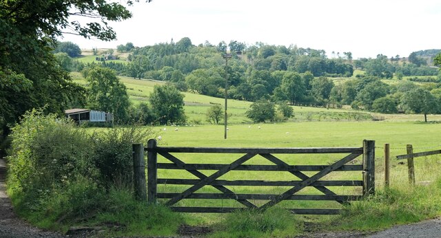
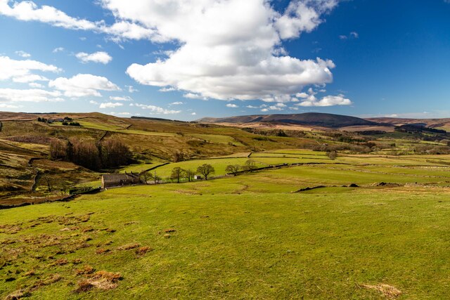
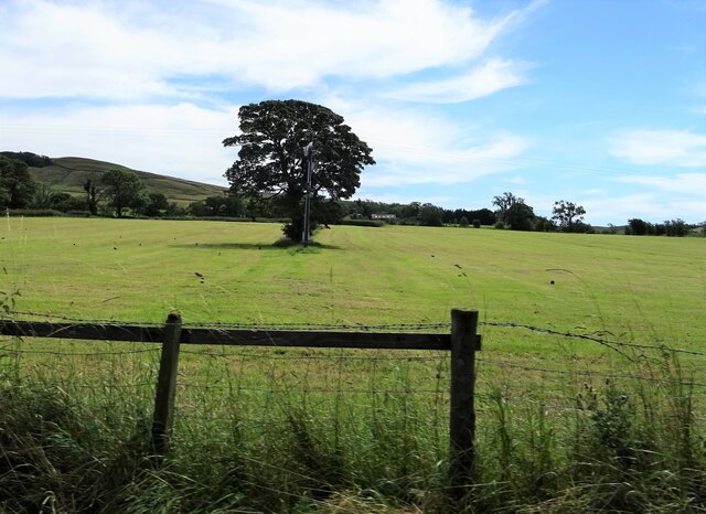
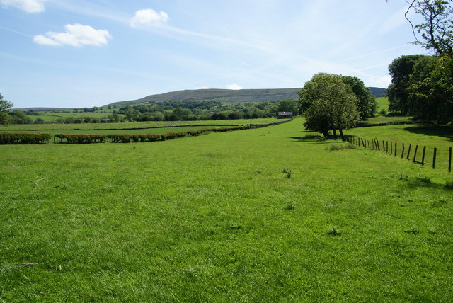
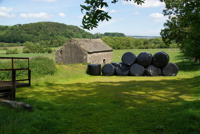
Gibb's Wood is an enchanting forest located in the picturesque county of Yorkshire, England. Nestled amidst the rolling hills and verdant landscapes, this woodland treasure spans across an area of approximately 50 acres. It is a well-preserved, ancient woodland that has captivated locals and visitors alike for centuries.
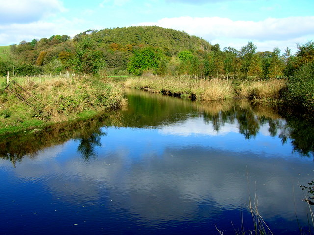
As one steps foot into Gibb's Wood, they are greeted by a rich tapestry of flora and fauna. The woodland is predominantly composed of dense, mature trees, including oak, beech, and birch, which provide a lush canopy that filters sunlight and creates a serene ambiance. The forest floor is carpeted with a diverse array of wildflowers, such as bluebells, primroses, and wood anemones, painting the landscape with vibrant hues during the springtime.
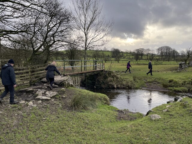
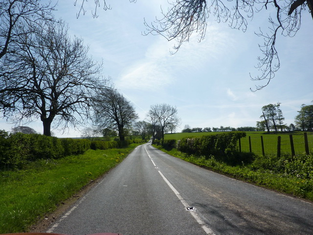
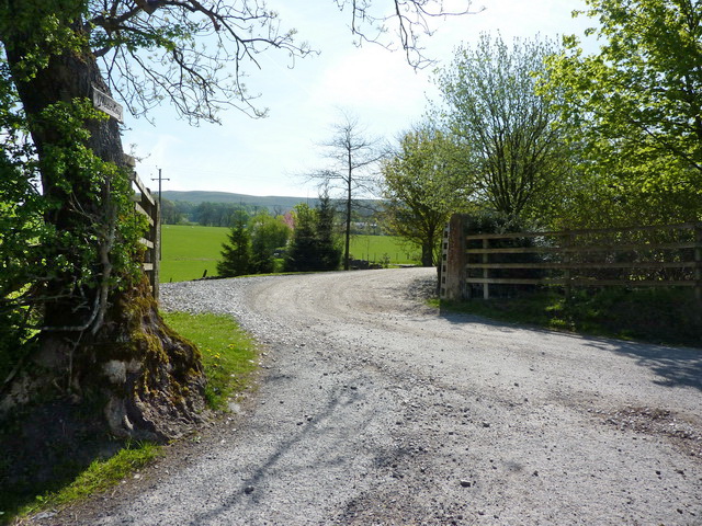
The wood is crisscrossed by a network of winding footpaths, allowing visitors to explore its hidden nooks and crannies. These paths meander through the forest, leading adventurers to discover tranquil streams, moss-covered boulders, and even a small waterfall tucked away in a secluded corner.
Gibb's Wood is not only a haven for nature enthusiasts but also serves as a habitat for a variety of wildlife. Birdsong fills the air as numerous species, including woodpeckers, thrushes, and owls, find refuge in the woodland's towering trees. Squirrels dart among the branches, and if one is lucky, they may catch a glimpse of a timid deer or a fox stealthily navigating the undergrowth.
Protected by conservation efforts, Gibb's Wood remains a sanctuary of tranquility and natural beauty. It offers visitors an opportunity to immerse themselves in the wonders of nature, providing a respite from the bustling world outside its leafy confines.
If you have any feedback on the listing, please let us know in the comments section below.
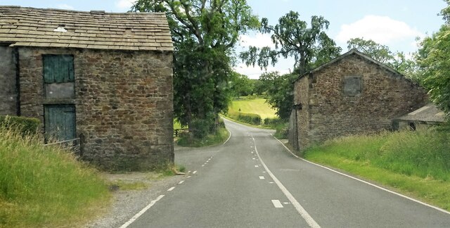
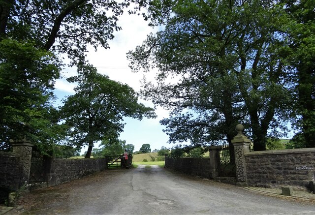
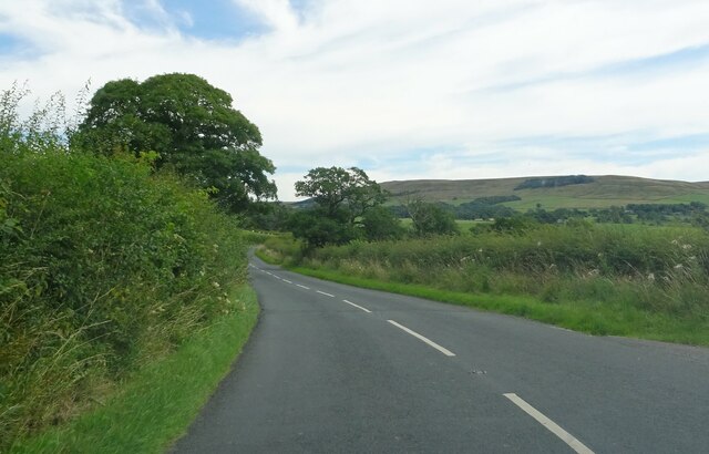
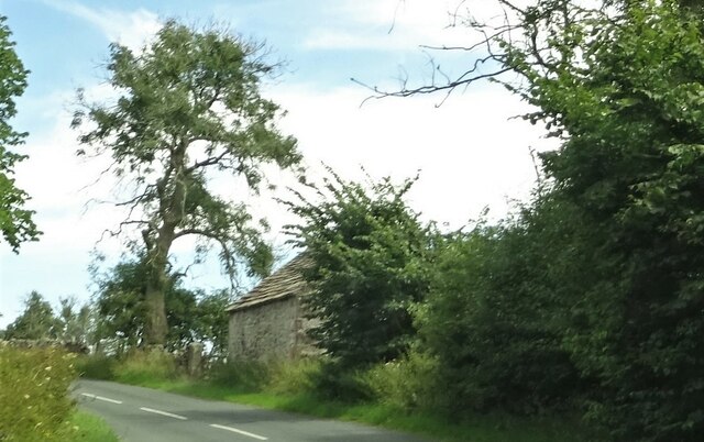
Gibb's Wood Images
Images are sourced within 2km of 53.933936/-2.4690674 or Grid Reference SD6948. Thanks to Geograph Open Source API. All images are credited.


Gibb's Wood is located at Grid Ref: SD6948 (Lat: 53.933936, Lng: -2.4690674)
Division: West Riding
Administrative County: Lancashire
District: Ribble Valley
Police Authority: Lancashire
What 3 Words
///congested.spenders.helped. Near Waddington, Lancashire
Nearby Locations
Related Wikis

Newton-in-Bowland
Newton or Newton-in-Bowland is a village and civil parish in the Ribble Valley district, in the county of Lancashire, England, formerly known as Newton...

Bowland Rural District
Bowland was a rural district in the West Riding of Yorkshire from 1894 to 1974. It was named after the Forest of Bowland, which it included. It was formed...

Bowland Forest Low
Bowland Forest Low is a civil parish in the Ribble Valley district of Lancashire, England, covering some 5,500 acres (22 km2) of the Forest of Bowland...

Langden Brook
Langden Brook is a watercourse in the Trough of Bowland, Lancashire, England. A tributary of the River Hodder, its source is near the summit of Hawthornthwaite...

River Dunsop
The River Dunsop is a river in the Forest of Bowland in Northern England. It flows into the River Hodder at Dunsop Bridge.It begins at the confluence of...

Dunsop Bridge (structure)
Dunsop Bridge is a bridge in the English village of the same name. The structure, which dates to the early 19th century, crosses the River Dunsop. A Grade...

Bowland Forest High
Bowland Forest High is a civil parish in the Ribble Valley district of Lancashire, England, covering some 20,000 acres (80 km2) of the Forest of Bowland...

Dunsop Bridge
Dunsop Bridge is a village in the civil parish of Bowland Forest High, in the borough of Ribble Valley, Lancashire, England, 9 miles (14 km) north-west...
Nearby Amenities
Located within 500m of 53.933936,-2.4690674Have you been to Gibb's Wood?
Leave your review of Gibb's Wood below (or comments, questions and feedback).