Ashnott Wood
Wood, Forest in Yorkshire Ribble Valley
England
Ashnott Wood

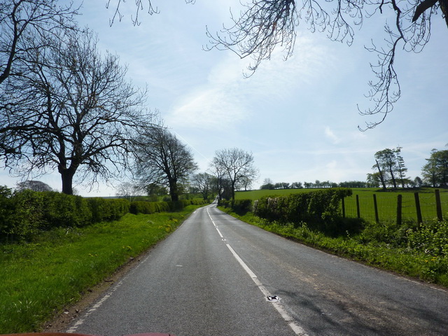
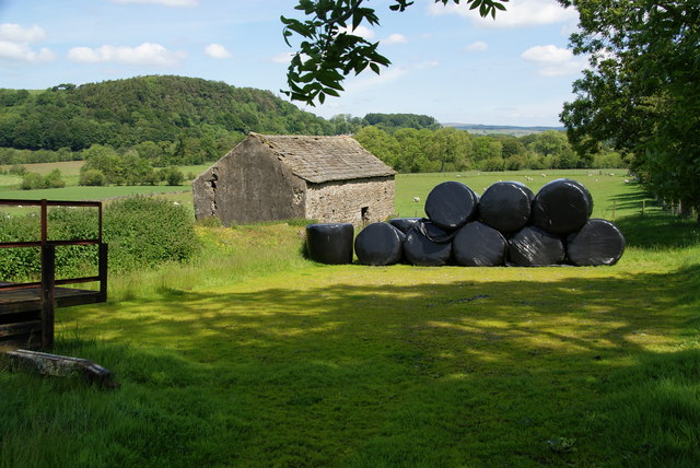
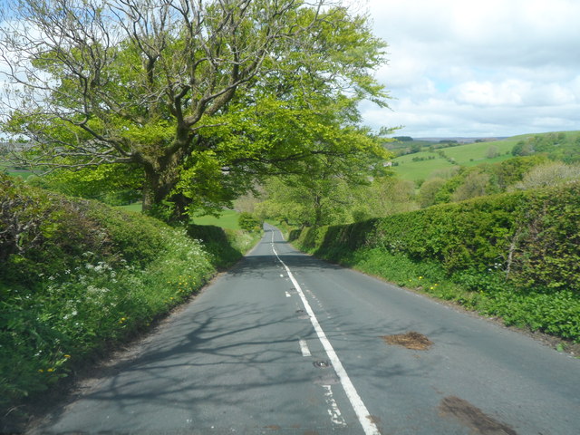
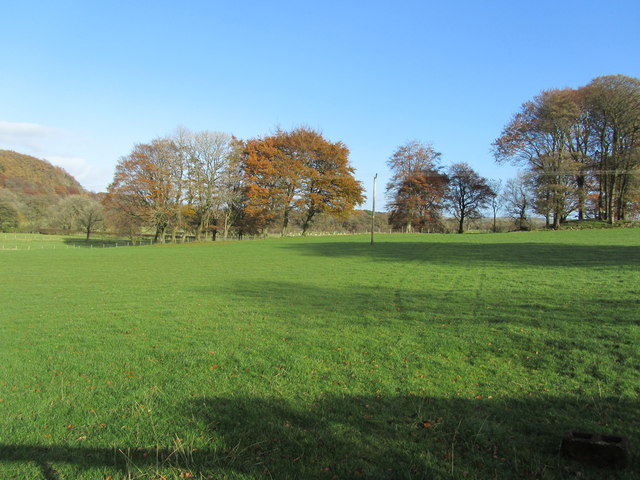
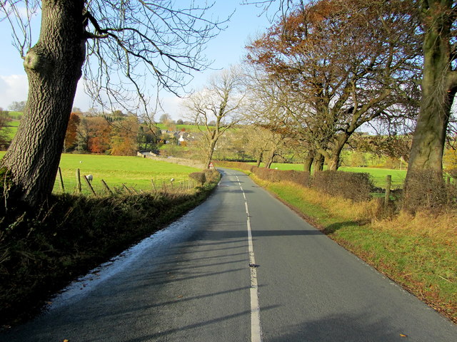
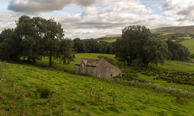
Ashnott Wood is a small but enchanting woodland located in the county of Yorkshire, England. Situated amidst the beautiful countryside, this woodland is a popular destination for nature lovers and outdoor enthusiasts. Covering an area of approximately 50 acres, Ashnott Wood is known for its rich biodiversity and serene ambiance.
The woodland is predominantly composed of ancient oak and beech trees, which provide a lush canopy, creating a tranquil and shaded atmosphere. The forest floor is carpeted with a variety of wildflowers, ferns, and mosses, adding to the ethereal beauty of the woodland. In spring, the wood bursts into a riot of colors with bluebells, primroses, and daffodils.
Ashnott Wood is home to a diverse range of wildlife. Birdwatchers can spot species such as woodpeckers, owls, and various songbirds. Squirrels and rabbits are commonly seen darting between the trees, while deer occasionally make an appearance, adding a touch of wilderness to the landscape.
The woodland offers several well-maintained trails, allowing visitors to explore its natural wonders. Walking through the forest, one can enjoy the soothing sounds of chirping birds and rustling leaves, making it a perfect escape from the hustle and bustle of everyday life.
Ashnott Wood is not only a haven for nature enthusiasts but also a valuable ecosystem that contributes to the overall biodiversity of the region. Its preservation and conservation efforts ensure that future generations can continue to enjoy its natural beauty and tranquility.
If you have any feedback on the listing, please let us know in the comments section below.
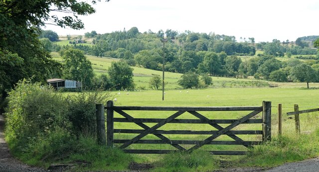
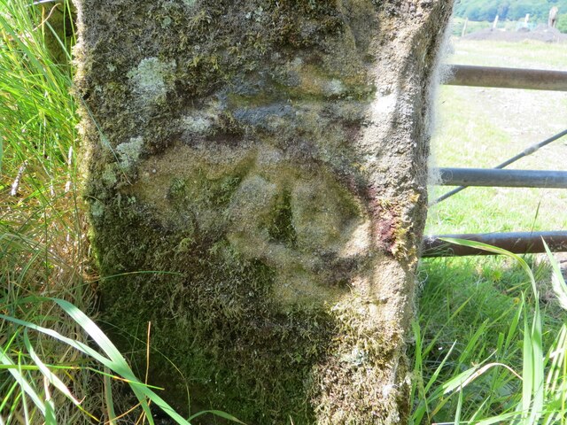
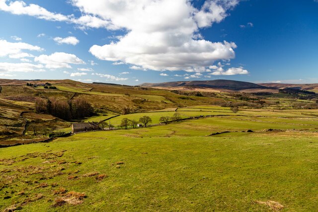
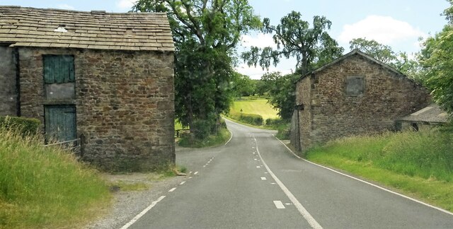
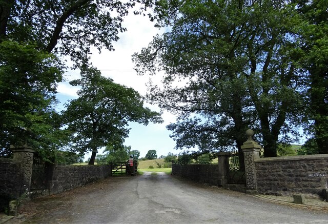
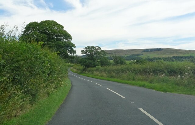
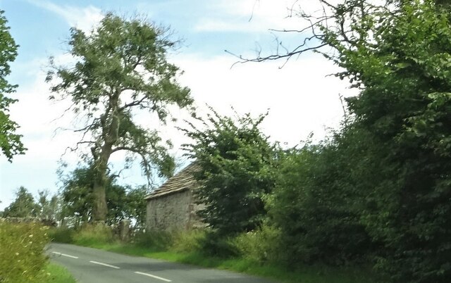
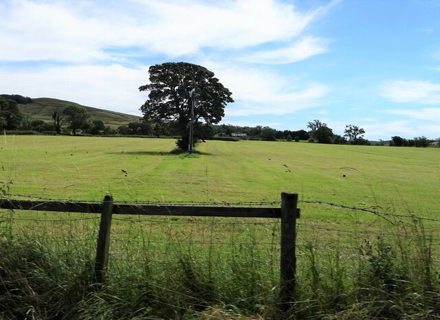
Ashnott Wood Images
Images are sourced within 2km of 53.930255/-2.4679904 or Grid Reference SD6948. Thanks to Geograph Open Source API. All images are credited.


Ashnott Wood is located at Grid Ref: SD6948 (Lat: 53.930255, Lng: -2.4679904)
Division: West Riding
Administrative County: Lancashire
District: Ribble Valley
Police Authority: Lancashire
What 3 Words
///quote.agreed.models. Near Waddington, Lancashire
Nearby Locations
Related Wikis

Newton-in-Bowland
Newton or Newton-in-Bowland is a village and civil parish in the Ribble Valley district, in the county of Lancashire, England, formerly known as Newton...

Bowland Rural District
Bowland was a rural district in the West Riding of Yorkshire from 1894 to 1974. It was named after the Forest of Bowland, which it included. It was formed...

Bowland Forest Low
Bowland Forest Low is a civil parish in the Ribble Valley district of Lancashire, England, covering some 5,500 acres (22 km2) of the Forest of Bowland...

Browsholme Hall
Browsholme Hall is a privately owned Tudor house in the parish of Bowland Forest Low in the borough of Ribble Valley, Lancashire (although historically...

Langden Brook
Langden Brook is a watercourse in the Trough of Bowland, Lancashire, England. A tributary of the River Hodder, its source is near the summit of Hawthornthwaite...

River Dunsop
The River Dunsop is a river in the Forest of Bowland in Northern England. It flows into the River Hodder at Dunsop Bridge.It begins at the confluence of...

Cow Ark Farmhouse
Cow Ark Farmhouse is a historic building in the English parish of Bowland Forest Low, Lancashire. It is Grade II listed, built around 1780, and is a sandstone...

Easington Fell
Easington Fell is a Marilyn in the Forest of Bowland in Lancashire, England. It has been surveyed to be 70 cm higher than a nearby fell of almost identical...
Nearby Amenities
Located within 500m of 53.930255,-2.4679904Have you been to Ashnott Wood?
Leave your review of Ashnott Wood below (or comments, questions and feedback).