Brown Banks Wood
Wood, Forest in Yorkshire Ribble Valley
England
Brown Banks Wood

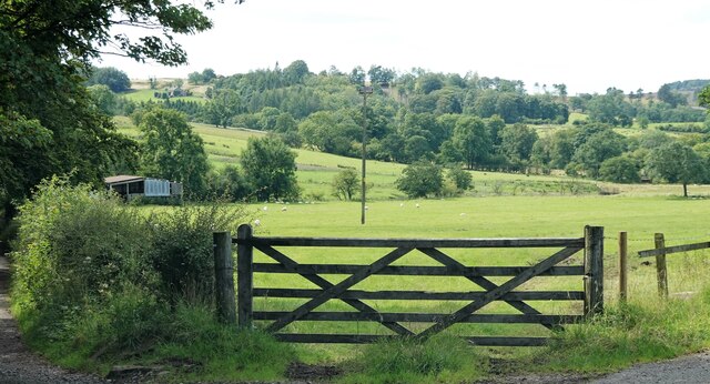
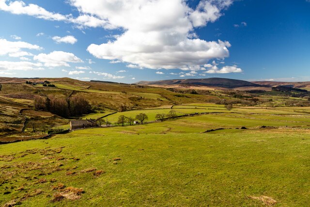
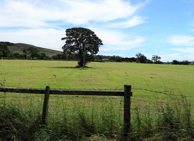
Brown Banks Wood is a picturesque woodland area located in the heart of Yorkshire, England. Situated near the village of Brown Banks, the wood covers an expansive area of approximately 100 hectares. It is renowned for its natural beauty and is a popular destination for nature enthusiasts, hikers, and families looking for a peaceful retreat.
The woodland is predominantly composed of native tree species, including oak, beech, birch, and ash. These majestic trees provide a habitat for a diverse range of wildlife, making it a haven for birdwatchers and animal lovers. Visitors can often spot woodland birds such as woodpeckers, owls, and various songbirds, as well as small mammals like squirrels and rabbits.
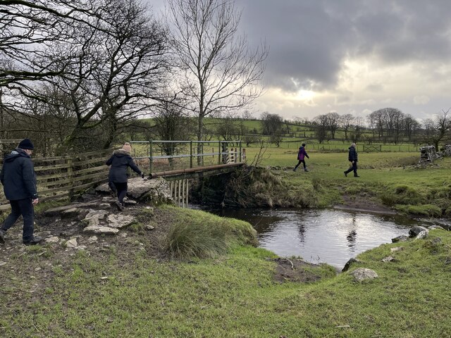
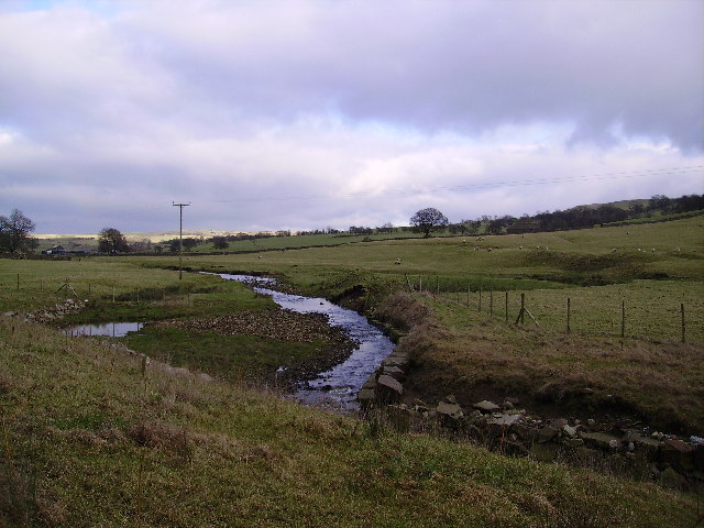
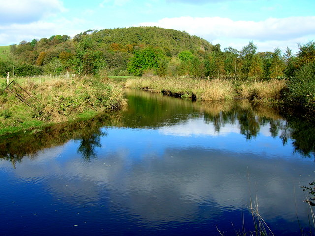
Traversing through Brown Banks Wood, visitors can explore a network of well-maintained footpaths and trails, allowing them to fully immerse themselves in the natural surroundings. The wood offers a variety of walking routes, catering to all levels of fitness and interest. The paths wind through dense foliage, crossing babbling streams and meandering through open clearings, providing an opportunity to observe the woodland ecosystem up close.
In addition to its natural beauty, Brown Banks Wood also boasts historical significance. It is believed that the wood has been in existence for centuries and may have once been part of a larger medieval forest. Archaeological evidence suggests that the area was used for charcoal production during the Iron Age, further adding to its rich heritage.
Overall, Brown Banks Wood is a hidden gem in Yorkshire, offering visitors a chance to connect with nature, explore its diverse flora and fauna, and bask in its serene atmosphere.
If you have any feedback on the listing, please let us know in the comments section below.
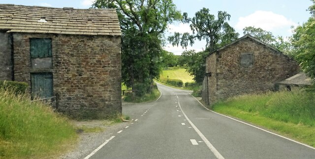
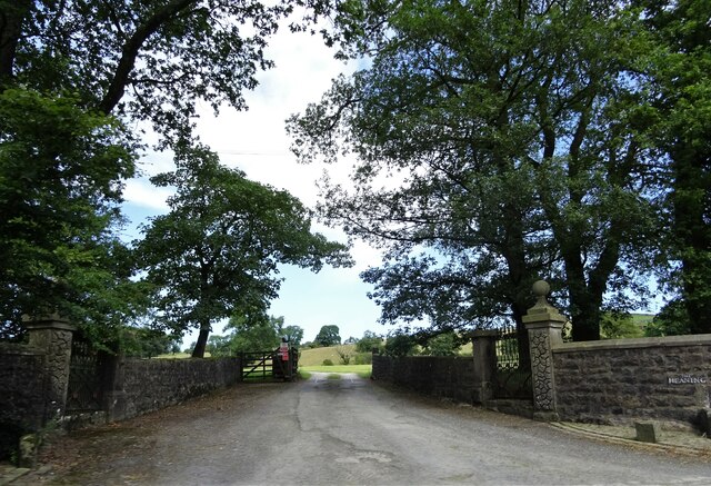
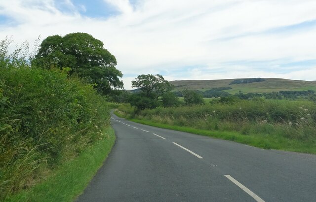
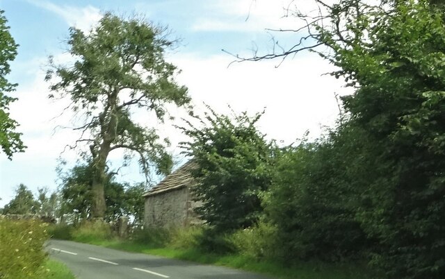
Brown Banks Wood Images
Images are sourced within 2km of 53.9359/-2.4608489 or Grid Reference SD6948. Thanks to Geograph Open Source API. All images are credited.


Brown Banks Wood is located at Grid Ref: SD6948 (Lat: 53.9359, Lng: -2.4608489)
Division: West Riding
Administrative County: Lancashire
District: Ribble Valley
Police Authority: Lancashire
What 3 Words
///unscathed.skill.edge. Near Waddington, Lancashire
Nearby Locations
Related Wikis

Newton-in-Bowland
Newton or Newton-in-Bowland is a village and civil parish in the Ribble Valley district, in the county of Lancashire, England, formerly known as Newton...

Bowland Rural District
Bowland was a rural district in the West Riding of Yorkshire from 1894 to 1974. It was named after the Forest of Bowland, which it included. It was formed...

Easington Fell
Easington Fell is a Marilyn in the Forest of Bowland in Lancashire, England. It has been surveyed to be 70 cm higher than a nearby fell of almost identical...

St Andrew's Church, Slaidburn
St Andrew's Church is in Church Street, Slaidburn, Lancashire, England. It is an active Anglican parish church in the deanery of Bowland, the archdeaconry...

Bowland Forest Low
Bowland Forest Low is a civil parish in the Ribble Valley district of Lancashire, England, covering some 5,500 acres (22 km2) of the Forest of Bowland...

King's House, Slaidburn
King's House is a Grade II listed building in Slaidburn, Lancashire, England, now used as a youth hostel. It was originally built in the 18th century,...

River Dunsop
The River Dunsop is a river in the Forest of Bowland in Northern England. It flows into the River Hodder at Dunsop Bridge.It begins at the confluence of...

Langden Brook
Langden Brook is a watercourse in the Trough of Bowland, Lancashire, England. A tributary of the River Hodder, its source is near the summit of Hawthornthwaite...
Nearby Amenities
Located within 500m of 53.9359,-2.4608489Have you been to Brown Banks Wood?
Leave your review of Brown Banks Wood below (or comments, questions and feedback).