Ing Barn Wood
Wood, Forest in Yorkshire Ribble Valley
England
Ing Barn Wood

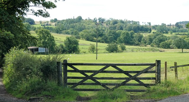
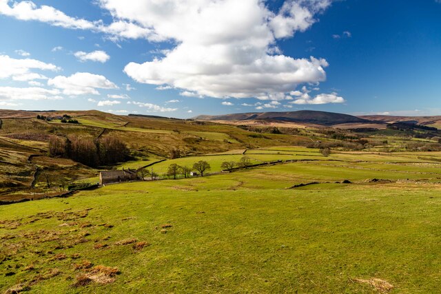
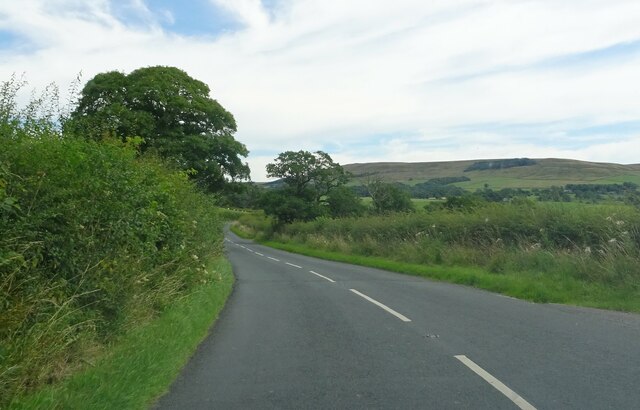
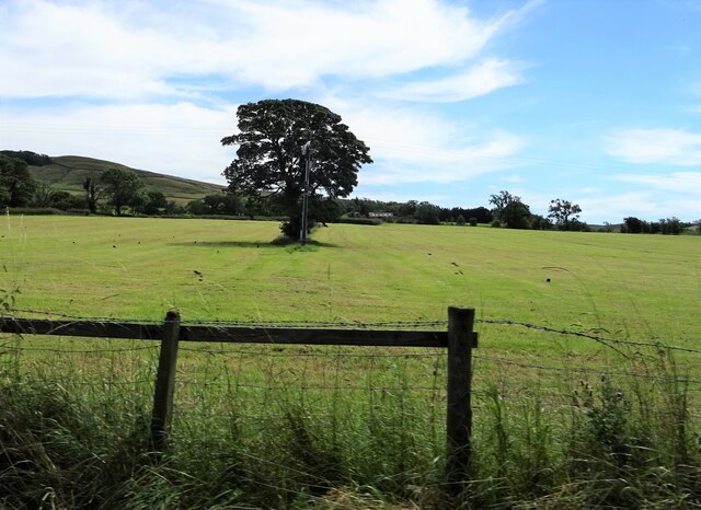
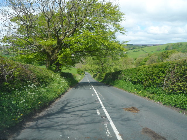
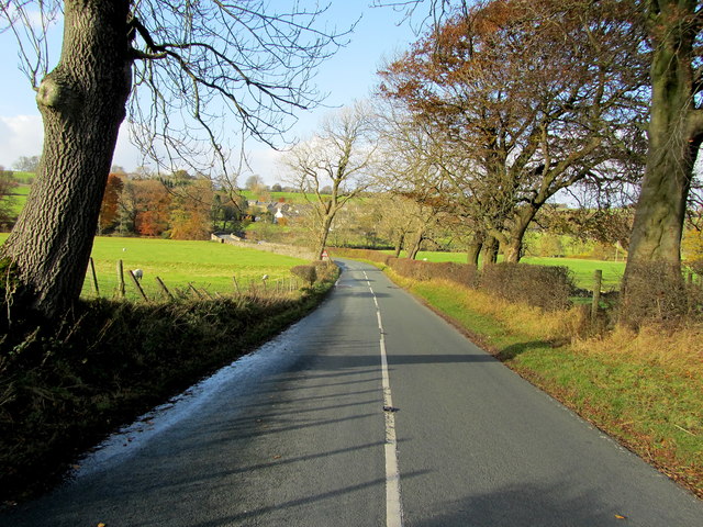
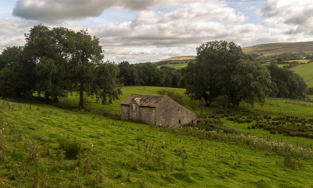
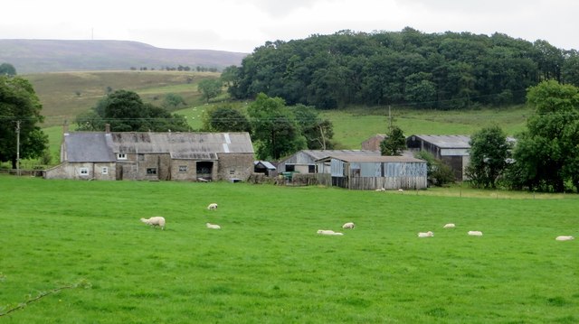
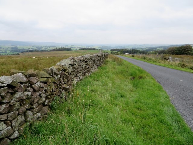
Ing Barn Wood is a picturesque forest located in Yorkshire, England. Spread across a vast area, this woodland is renowned for its stunning natural beauty and diverse ecosystem. The forest is primarily composed of ancient oak trees, which provide a majestic canopy over the forest floor. These towering trees, with their gnarled branches and moss-covered trunks, create a serene and enchanting atmosphere.
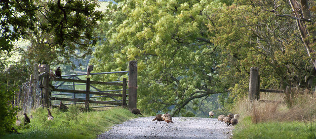
The woodland floor is covered in a thick carpet of moss, ferns, and wildflowers, adding to the charm and beauty of the area. This rich undergrowth provides a habitat for a variety of wildlife species, including birds, small mammals, and insects. The forest is particularly known for its population of red squirrels, which can often be spotted scurrying among the trees.
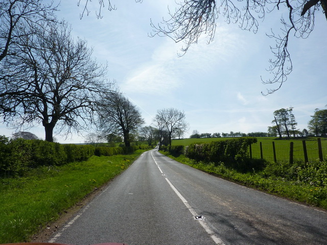
Ing Barn Wood offers numerous walking trails and paths, allowing visitors to explore the forest at their own pace. These trails wind through the woodland, offering breathtaking views of the surrounding countryside. The forest is especially popular among nature enthusiasts, hikers, and photographers, who are drawn to its serene and photogenic landscapes.
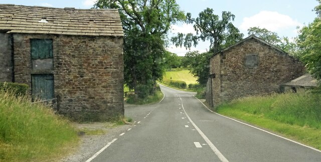
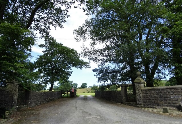
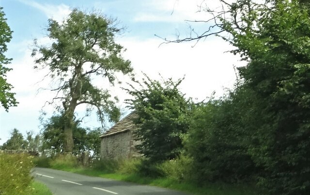
In addition to its natural beauty, Ing Barn Wood also has historical significance. The forest has been protected and preserved for centuries, and remnants of ancient settlements and structures can be found within its boundaries. These historical features add an extra layer of intrigue and fascination to the woodland, making it a must-visit destination for history buffs and archaeology enthusiasts.
Overall, Ing Barn Wood in Yorkshire is a captivating and idyllic forest, offering a peaceful retreat for those seeking solace in nature or a glimpse into the area's rich history.
If you have any feedback on the listing, please let us know in the comments section below.
Ing Barn Wood Images
Images are sourced within 2km of 53.930938/-2.4724605 or Grid Reference SD6948. Thanks to Geograph Open Source API. All images are credited.


Ing Barn Wood is located at Grid Ref: SD6948 (Lat: 53.930938, Lng: -2.4724605)
Division: West Riding
Administrative County: Lancashire
District: Ribble Valley
Police Authority: Lancashire
What 3 Words
///alternate.conga.reconnect. Near Waddington, Lancashire
Nearby Locations
Related Wikis

Newton-in-Bowland
Newton or Newton-in-Bowland is a village and civil parish in the Ribble Valley district, in the county of Lancashire, England, formerly known as Newton...

Bowland Rural District
Bowland was a rural district in the West Riding of Yorkshire from 1894 to 1974. It was named after the Forest of Bowland, which it included. It was formed...

Bowland Forest Low
Bowland Forest Low is a civil parish in the Ribble Valley district of Lancashire, England, covering some 5,500 acres (22 km2) of the Forest of Bowland...

Langden Brook
Langden Brook is a watercourse in the Trough of Bowland, Lancashire, England. A tributary of the River Hodder, its source is near the summit of Hawthornthwaite...

Browsholme Hall
Browsholme Hall is a privately owned Tudor house in the parish of Bowland Forest Low in the borough of Ribble Valley, Lancashire (although historically...

River Dunsop
The River Dunsop is a river in the Forest of Bowland in Northern England. It flows into the River Hodder at Dunsop Bridge.It begins at the confluence of...

Whitewell Hotel
Whitewell Hotel is an historic building in the English parish of Bowland Forest Low, Lancashire. It is Grade II listed, built in 1836, and is in sandstone...

Dunsop Bridge (structure)
Dunsop Bridge is a bridge in the English village of the same name. The structure, which dates to the early 19th century, crosses the River Dunsop. A Grade...
Nearby Amenities
Located within 500m of 53.930938,-2.4724605Have you been to Ing Barn Wood?
Leave your review of Ing Barn Wood below (or comments, questions and feedback).