Monk Wood
Wood, Forest in Somerset Mendip
England
Monk Wood
Monk Wood is a picturesque forest located in Somerset, England. Covering an area of approximately 500 acres, it is nestled in the heart of the county and offers a tranquil escape for nature enthusiasts and hikers alike.
The wood is known for its ancient woodland, with some sections dating back hundreds of years. Tall, majestic trees dominate the landscape, creating a dense canopy that filters sunlight and casts enchanting shadows on the forest floor. The diverse range of tree species includes oak, beech, birch, and ash, providing a rich habitat for a variety of wildlife.
Visitors to Monk Wood can enjoy a network of well-maintained walking trails that wind through the forest. These trails offer a chance to immerse oneself in the natural beauty of the area and discover hidden gems along the way, such as a babbling brook or a carpet of wildflowers in the spring.
Birdwatchers will delight in the abundance of avian species that call Monk Wood home. The forest is a haven for woodland birds, including woodpeckers, owls, and various songbirds. Lucky visitors may even spot a rare or elusive species, making the wood a popular destination for birdwatching enthusiasts.
Monk Wood is also steeped in history, with remnants of ancient settlements and structures scattered throughout the area. Archaeological discoveries have unearthed evidence of human activity dating back to the Iron Age, adding another layer of intrigue to this already captivating woodland.
Overall, Monk Wood is a haven of natural beauty, biodiversity, and historical significance. Whether one seeks solace in nature, a challenging hike, or a journey through time, this forest in Somerset offers a truly immersive and memorable experience.
If you have any feedback on the listing, please let us know in the comments section below.
Monk Wood Images
Images are sourced within 2km of 51.185735/-2.4437555 or Grid Reference ST6943. Thanks to Geograph Open Source API. All images are credited.


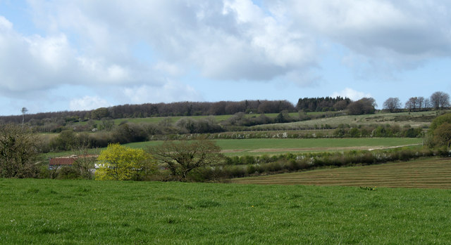
![2011 : Fields and view from the lane east of Cranmore Cranmore Tower [<a href="https://www.geograph.org.uk/gridref/ST6745">ST6745</a>] lifts its head above surrounding trees on the horizon.
A small beech wood begins showing its leaves, the foreground field looks a little sad, not sure what crop it contains.](https://s3.geograph.org.uk/geophotos/02/39/72/2397211_aa86bad2.jpg)
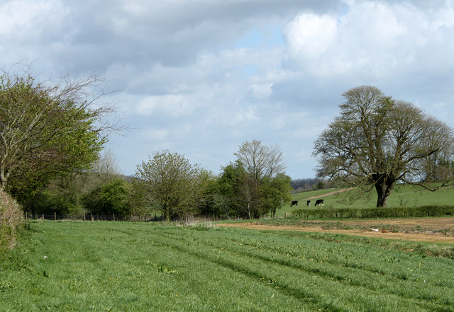

![2011 : North from Withy Wood Lane A field of freshly grown grass waiting for the cattle.
Cranmore Tower sits on the skyline with its attendand transmitter pylons [<a href="https://www.geograph.org.uk/gridref/ST6745">ST6745</a>] from a distance this tower is similar to Alfred&#039;s Tower to the east, if in doubt look for the nearby pylons, they will settle the matter.](https://s2.geograph.org.uk/geophotos/02/39/74/2397482_91966837.jpg)


Monk Wood is located at Grid Ref: ST6943 (Lat: 51.185735, Lng: -2.4437555)
Administrative County: Somerset
District: Mendip
Police Authority: Avon and Somerset
What 3 Words
///puddles.wipes.nurtures. Near Evercreech, Somerset
Nearby Locations
Related Wikis
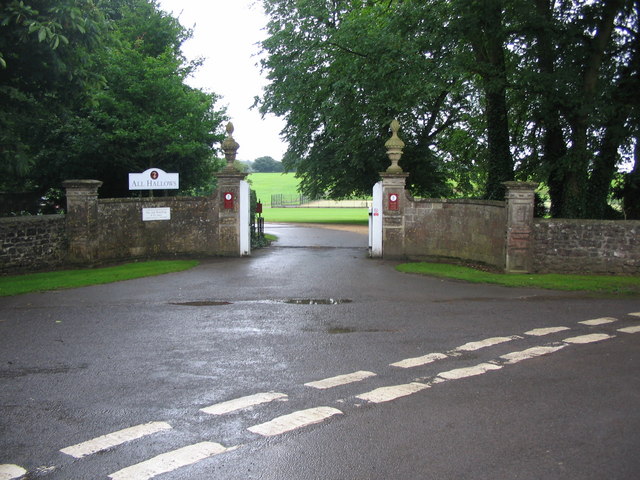
All Hallows Preparatory School
All Hallows School is a non-selective co-educational prep school that provides day and boarding facilities. A Christian School in the Catholic tradition...

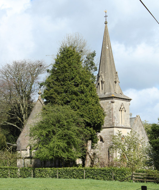
St James' Church, East Cranmore
St James' Church is a former Church of England church in East Cranmore, Somerset, England. Designed by Thomas Henry Wyatt, it was built in 1846 to replace...

Leighton Road Cutting
Leighton Road Cutting (grid reference ST702437) is a 0.6 hectare geological Site of Special Scientific Interest between East Cranmore and Cloford in Somerset...
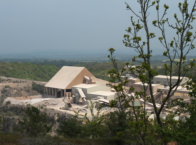
Torr Works
Torr Works quarry, grid reference ST695446 is a limestone quarry at East Cranmore, near Shepton Mallet on the Mendip Hills, Somerset, England. The quarry...

Church of St Mary, Wanstrow
The Anglican Church Of St Mary in Wanstrow, within the English county of Somerset, was built in the 15th century. It is a Grade II* listed building.The...
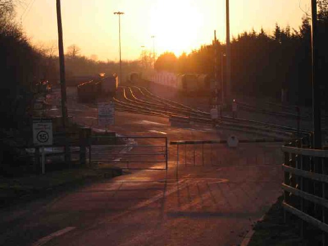
Cranmore railway station
Cranmore is the main railway station (and also the headquarters) of the preserved East Somerset Railway, in Somerset, England. == Services == Various services...

Cranmore Tower
The Cranmore Tower is a 45 metres (148 ft) tall 19th century folly in the parish of Cranmore, Somerset, England. The site is 280 metres (919 ft) above...

Cranmore, Somerset
Cranmore is a village and civil parish east of Shepton Mallet, in the Mendip district of Somerset, England. The parish includes the hamlets of Waterlip...
Nearby Amenities
Located within 500m of 51.185735,-2.4437555Have you been to Monk Wood?
Leave your review of Monk Wood below (or comments, questions and feedback).