Hyde Wood
Wood, Forest in Herefordshire
England
Hyde Wood

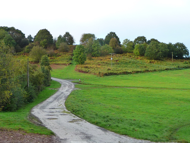
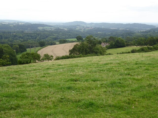
Hyde Wood is a charming forest located in the county of Herefordshire, England. Covering an area of approximately 1,000 acres, this woodland is a popular destination for nature enthusiasts and outdoor adventurers alike.
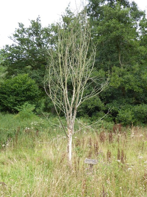
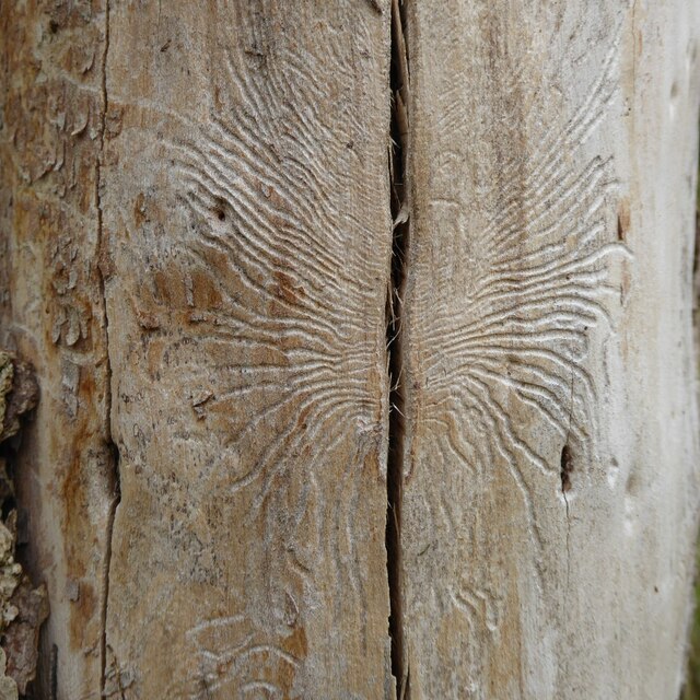
Comprising a mix of deciduous and coniferous trees, Hyde Wood boasts a diverse range of flora and fauna. Ancient oak trees dominate the landscape, providing a majestic canopy that creates a tranquil and enchanting atmosphere. Throughout the forest, visitors can also spot birch, beech, and pine trees, adding variety to the woodland scenery.
The forest floor of Hyde Wood is adorned with a carpet of wildflowers, including bluebells, primroses, and wood anemones. This explosion of colors attracts a variety of wildlife, making it a haven for birdwatchers and animal lovers. Lucky visitors may catch a glimpse of deer, foxes, badgers, and a myriad of bird species, including woodpeckers, owls, and thrushes.
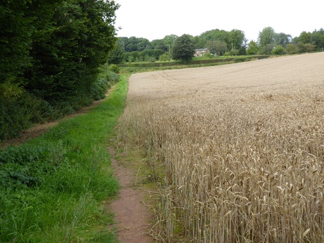
Hyde Wood offers a network of well-maintained trails, providing visitors with opportunities for leisurely strolls, invigorating hikes, and peaceful picnics amidst nature. Well-marked routes guide visitors through the forest, ensuring a safe and enjoyable experience for all. There are also designated areas for camping and barbecues, allowing visitors to fully immerse themselves in the beauty of the wood.
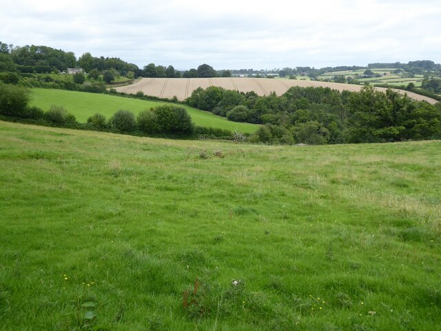
Overall, Hyde Wood is a captivating destination that showcases the natural splendor of Herefordshire. With its diverse flora and fauna, well-maintained trails, and serene ambiance, this forest provides an idyllic retreat for those seeking a peaceful escape into nature.
If you have any feedback on the listing, please let us know in the comments section below.
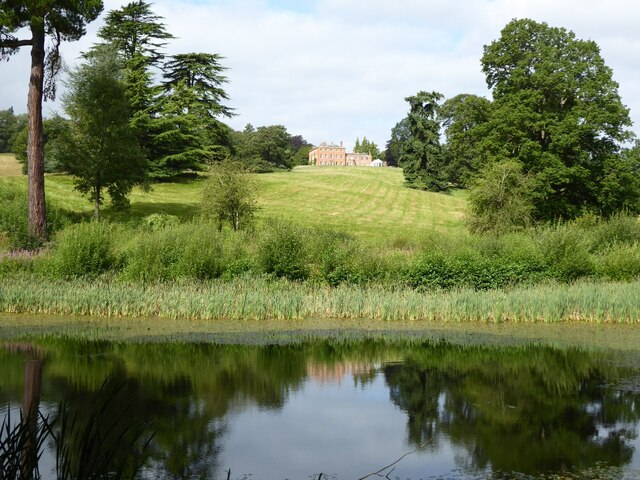
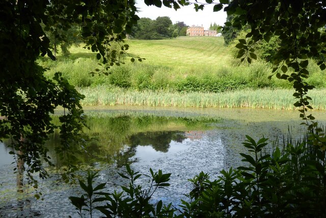
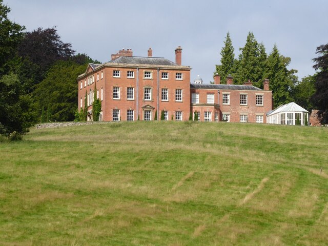
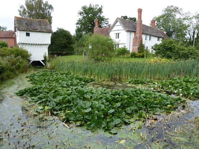
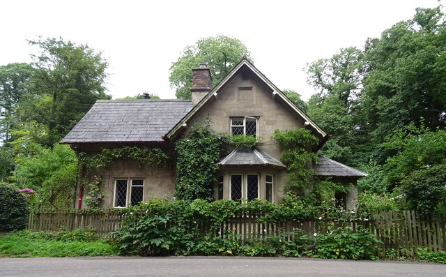
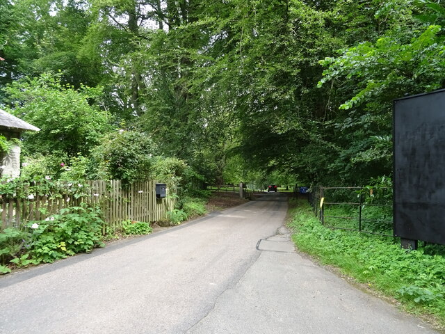
Hyde Wood Images
Images are sourced within 2km of 52.197786/-2.4538577 or Grid Reference SO6955. Thanks to Geograph Open Source API. All images are credited.


Hyde Wood is located at Grid Ref: SO6955 (Lat: 52.197786, Lng: -2.4538577)
Unitary Authority: County of Herefordshire
Police Authority: West Mercia
What 3 Words
///distract.reflected.exposing. Near Bromyard, Herefordshire
Nearby Locations
Related Wikis
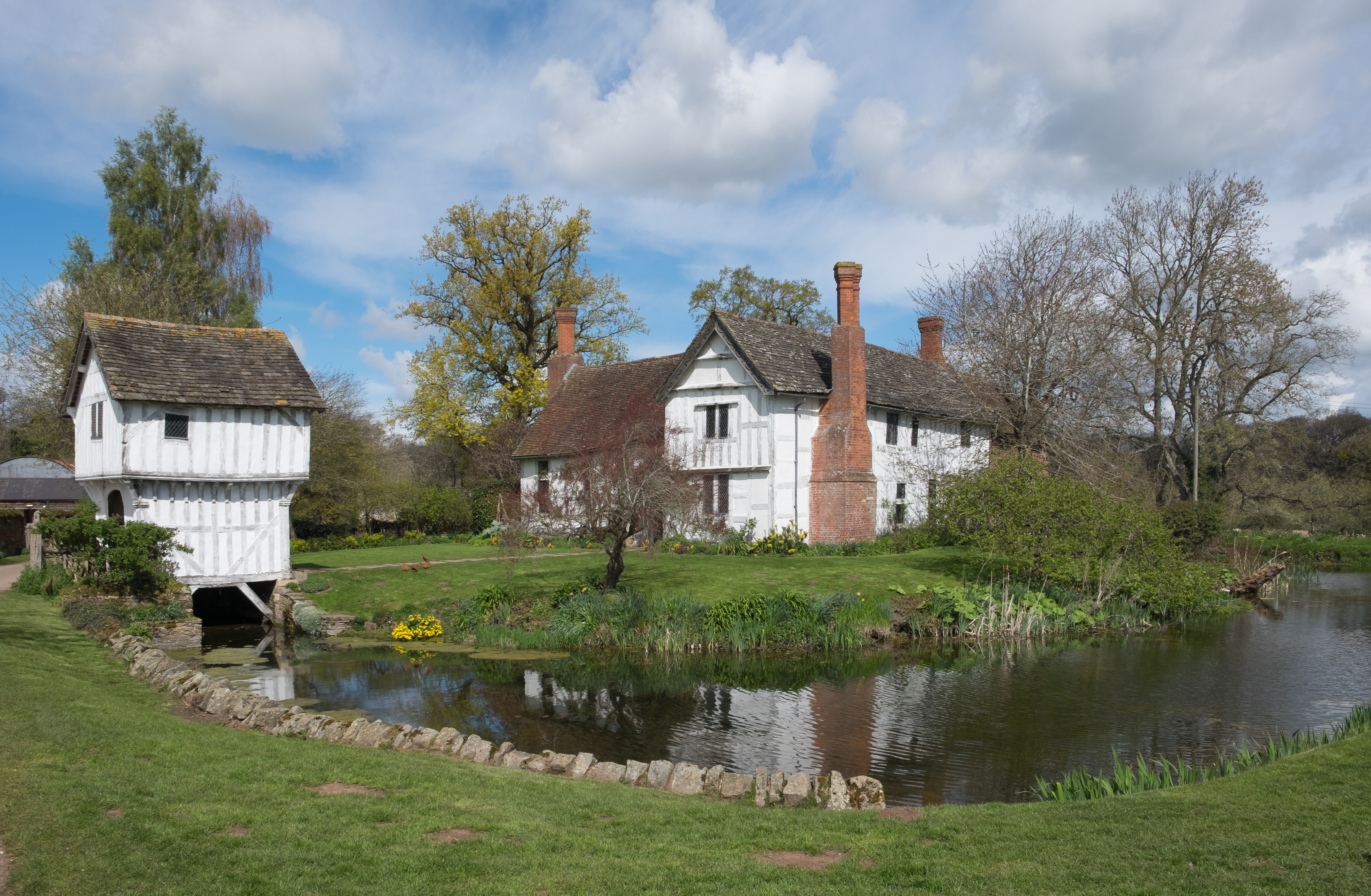
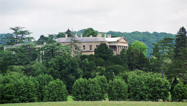
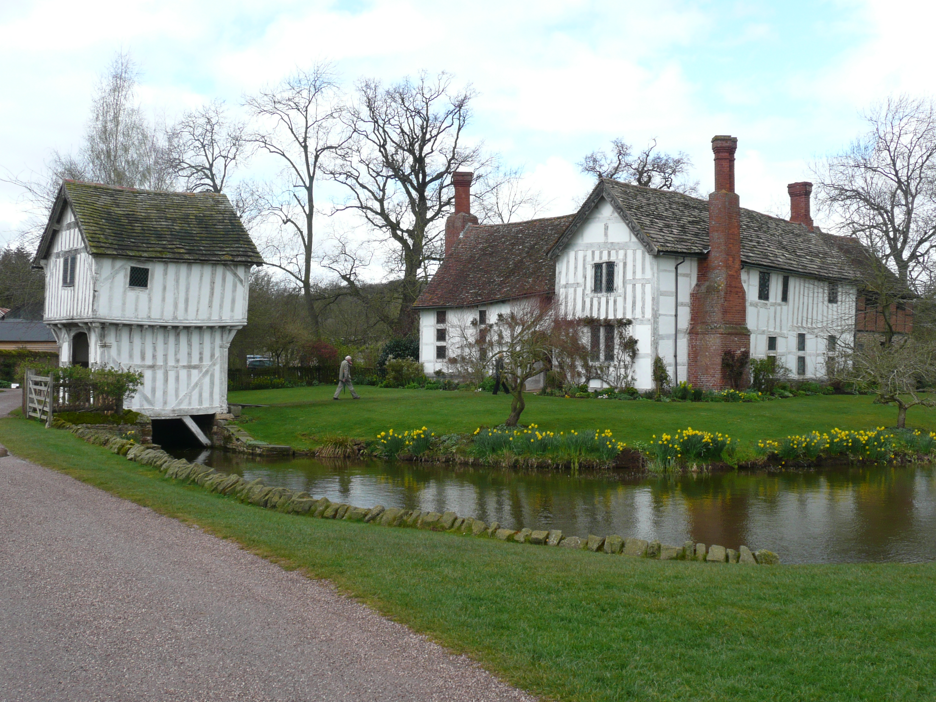
Brockhampton Estate
The Brockhampton Estate is a National Trust property in Herefordshire, England, and is to the north of the A44 Bromyard to Worcester road, opposite the...
Brockhampton (near Bromyard)
Brockhampton is a civil parish in Herefordshire, England, about 4 km (2 mi) east of Bromyard. The parish comprises the National Trust property of Brockhampton...

Bringsty Common
Bringsty Common is a scattered settlement and 220 acres (89 ha) of common land in Herefordshire, England, spanning the A44. It lies close to the Worcestershire...

Linton (near Bromyard)
Linton is a civil parish in north-east of Herefordshire, England, and is approximately 14 miles (23 km) north-east from the city and county town of Hereford...
Nearby Amenities
Located within 500m of 52.197786,-2.4538577Have you been to Hyde Wood?
Leave your review of Hyde Wood below (or comments, questions and feedback).