Gaughey Wood

Wood, Forest in Yorkshire Ribble Valley

England

Gaughey Wood

Barns at Foulscales On the road to Cow Ark.
Barns at Foulscales Credit: Phil and Juliette Platt

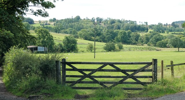
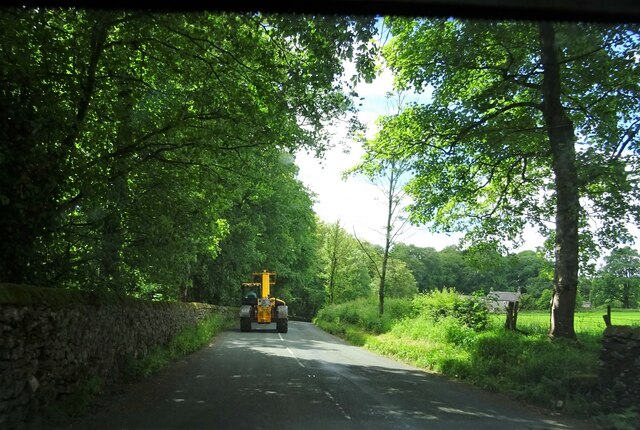
Gaughey Wood is a picturesque woodland located in the county of Yorkshire, England. Situated in the heart of the Yorkshire Dales, this enchanting forest covers an area of approximately 100 hectares and is a popular destination for nature enthusiasts and outdoor lovers alike.

The wood is predominantly composed of native broadleaf trees, including oak, beech, and birch, creating a rich and diverse ecosystem. The dense foliage provides a habitat for a wide range of wildlife, including deer, foxes, and various bird species. Walking through the wood, visitors can experience the tranquility of nature and immerse themselves in its beauty.

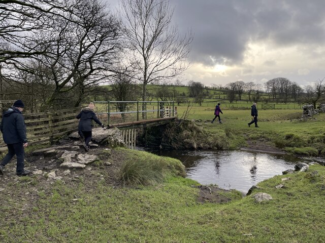
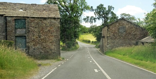
There are several well-maintained walking trails that wind their way through Gaughey Wood, offering visitors the opportunity to explore the area and discover its hidden gems. The paths are clearly marked, ensuring a safe and enjoyable experience for all. Along the way, hikers can enjoy breathtaking views of the surrounding countryside and might even stumble upon a hidden waterfall or two.

Gaughey Wood is also renowned for its seasonal displays of wildflowers, with vibrant colors carpeting the forest floor during the spring and summer months. This creates a truly magical atmosphere and provides a perfect backdrop for photography and picnics.

Overall, Gaughey Wood is a haven of natural beauty in Yorkshire, offering visitors a chance to escape the hustle and bustle of everyday life and reconnect with the serenity of the outdoors. Whether you are a nature lover, a photographer, or simply seeking a peaceful retreat, this woodland is sure to captivate your senses and leave a lasting impression.

If you have any feedback on the listing, please let us know in the comments section below.
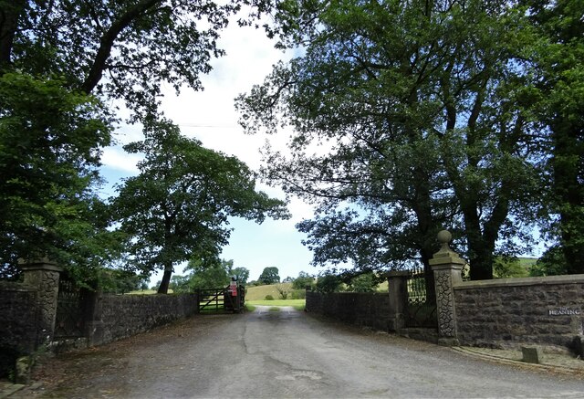
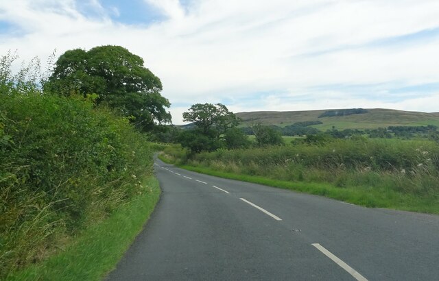
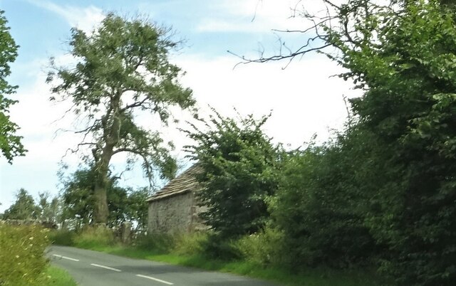
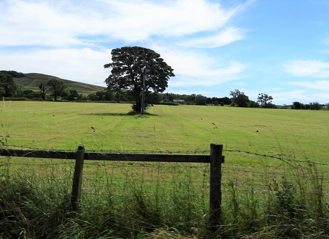
Gaughey Wood Images

Images are sourced within 2km of 53.95533/-2.4683475 or Grid Reference SD6951. Thanks to Geograph Open Source API. All images are credited.

Barns at Foulscales On the road to Cow Ark.
Barns at Foulscales
On the road to Cow Ark.
Field at Storth Sheep graze south of Newton.
Field at Storth
Sheep graze south of Newton.
The one that got away A sheep on the wrong side of the fence.
The one that got away
A sheep on the wrong side of the fence.
Foulscales farm A grade II listed farmhouse by Foulscales Brook.
Foulscales farm
A grade II listed farmhouse by Foulscales Brook.
Ordnance Survey Cut Mark This mark can be found on the roadside wall of a dwelling, former farm building, at Robinson's Farm, Easington.
The benchmark has a recorded height of 141.0157 metres above sea level.
For more detail see : <span class="nowrap"><a title="https://www.bench-marks.org.uk/bm145767" rel="nofollow ugc noopener" href="https://www.bench-marks.org.uk/bm145767">Link</a><img style="margin-left:2px;" alt="External link" title="External link - shift click to open in new window" src="https://s1.geograph.org.uk/img/external.png" width="10" height="10"/></span>
Ordnance Survey Cut Mark
This mark can be found on the roadside wall of a dwelling, former farm building, at Robinson's Farm, Easington. The benchmark has a recorded height of 141.0157 metres above sea level. For more detail see : LinkExternal link
Houses in Slaidburn A terrace on Church Street.
Houses in Slaidburn
A terrace on Church Street.
St. Andrew's Church Slaidburn C. of E. parish church is grade I listed. It was built in C15 (probably) with C17 alterations.
St. Andrew's Church
Slaidburn C. of E. parish church is grade I listed. It was built in C15 (probably) with C17 alterations.
Slow moving traffic on the road to Newton in Bowland Near Bluebutts Farm.
Slow moving traffic on the road to Newton in Bowland
Near Bluebutts Farm.
Ford at Newton This ford is found on a stream leading into the Hodder at Newton.
Ford at Newton
This ford is found on a stream leading into the Hodder at Newton.
Farm Ford at Easington This ford is found at Manor House near Easington.
Farm Ford at Easington
This ford is found at Manor House near Easington.
Ordnance Survey Cut Mark This mark can be found on the roadside wall of a former farm building - now holiday accommodation - at Laythams Farm.
The benchmark has a recorded height of 204.2374 metres above sea level.
For more detail see : <span class="nowrap"><a title="https://www.bench-marks.org.uk/bm152241" rel="nofollow ugc noopener" href="https://www.bench-marks.org.uk/bm152241">Link</a><img style="margin-left:2px;" alt="External link" title="External link - shift click to open in new window" src="https://s1.geograph.org.uk/img/external.png" width="10" height="10"/></span>
Ordnance Survey Cut Mark
This mark can be found on the roadside wall of a former farm building - now holiday accommodation - at Laythams Farm. The benchmark has a recorded height of 204.2374 metres above sea level. For more detail see : LinkExternal link
Ordnance Survey Cut Mark This mark can be found on a roadside gatepost at the track entrance to Fowler's Laithe.
The benchmark has a recorded height of 156.3716 metres above sea level.
For more detail see : <span class="nowrap"><a title="https://www.bench-marks.org.uk/bm152249" rel="nofollow ugc noopener" href="https://www.bench-marks.org.uk/bm152249">Link</a><img style="margin-left:2px;" alt="External link" title="External link - shift click to open in new window" src="https://s1.geograph.org.uk/img/external.png" width="10" height="10"/></span>
Ordnance Survey Cut Mark
This mark can be found on a roadside gatepost at the track entrance to Fowler's Laithe. The benchmark has a recorded height of 156.3716 metres above sea level. For more detail see : LinkExternal link
Clerk Laithe Lodge On the B6478 outside Newton in Bowland and originally a barn the building is now converted to a guest house
Clerk Laithe Lodge
On the B6478 outside Newton in Bowland and originally a barn the building is now converted to a guest house
Farm buildings At Hill House on the B6478 south of Newton in Bowland.
Farm buildings
At Hill House on the B6478 south of Newton in Bowland.
Gateway to The Heaning On the road from Dunsop Bridge to Newton.
Gateway to The Heaning
On the road from Dunsop Bridge to Newton.
Approaching Newton Near Fober Farm.
Approaching Newton
Near Fober Farm.
Roadside barn Outside Newton.
Roadside barn
Outside Newton.
Tree and telegraph pole Off the road to Cow Ark.
Tree and telegraph pole
Off the road to Cow Ark.
Show me another place!

Gaughey Wood is located at Grid Ref: SD6951 (Lat: 53.95533, Lng: -2.4683475)

Division: West Riding

Administrative County: Lancashire

District: Ribble Valley

Police Authority: Lancashire

What 3 Words

///prayers.alive.headings. Near Waddington, Lancashire

Related Wikis

Newton-in-Bowland

Newton or Newton-in-Bowland is a village and civil parish in the Ribble Valley district, in the county of Lancashire, England, formerly known as Newton...

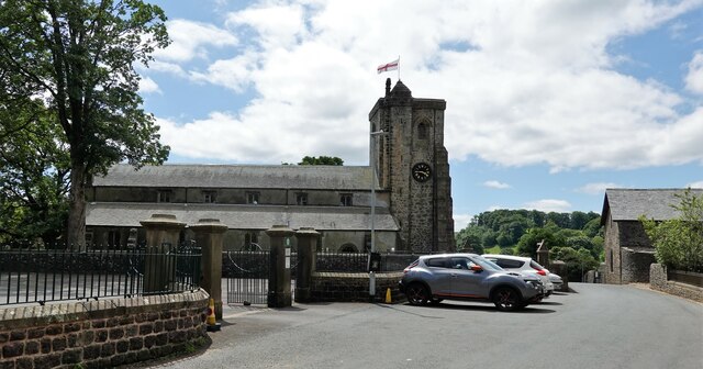
St Andrew's Church, Slaidburn

St Andrew's Church is in Church Street, Slaidburn, Lancashire, England. It is an active Anglican parish church in the deanery of Bowland, the archdeaconry...

King's House, Slaidburn

King's House is a Grade II listed building in Slaidburn, Lancashire, England, now used as a youth hostel. It was originally built in the 18th century,...

Slaidburn

Slaidburn () is a village and civil parish within the Ribble Valley district of Lancashire, England. The parish covers just over 5,000 acres of the Forest...

Related Videos

Walking roman roads in Lancashire

The roman road north from Ribchester fort to Carlisle and Hadrian's wall runs through the remote landscape of north Lancashire.

Croasdale Fell from Slaidburn

A cracking walk up on to Croasdale Fell out of Slaidburn with my mate Andy. Warm enough to sweat but cool enough to be crisp.

Walking vlog #4

Sorry about not posting for a while been busy with life and concentrating on my studies.

Nearby Amenities

Located within 500m of 53.95533,-2.4683475
Barrier: cattle_grid
Bicycle: yes
Foot: yes
Lat/Long: 53.9569134/-2.4717444
Barrier: stile
Material: stone
Source: survey;gps
Stile: stepover
Lat/Long: 53.9522615/-2.4722036
Barrier: stile
Material: stone
Source: survey;gps
Stile: stepover
Lat/Long: 53.9523432/-2.4721289
Barrier: stile
Material: wood
Source: survey;gps
Stile: stepover
Lat/Long: 53.9531604/-2.4684461
Barrier: stile
Material: wood
Source: survey;gps
Stile: stepover
Lat/Long: 53.9552814/-2.4753386
Barrier: cattle_grid
Bicycle: yes
Foot: yes
Lat/Long: 53.9553156/-2.4753368
Barrier: stile
Material: wood
Source: survey;gps
Stile: ladder
Lat/Long: 53.9580849/-2.4685743
Barrier: stile
Material: stone
Source: survey;gps
Stile: stepover
Lat/Long: 53.9586687/-2.4682415
Barrier: stile
Material: wood
Source: survey
Stile: stepover
Lat/Long: 53.9538603/-2.4693326
Barrier: stile
Material: wood
Source: survey;gps
Stile: stepover
Lat/Long: 53.9543328/-2.4628447
Barrier: stile
Material: wood
Source: survey;gps
Stile: stepover
Lat/Long: 53.9543388/-2.4627949
Barrier: stile
Material: wood
Source: survey;gps
Stile: stepover
Lat/Long: 53.9584443/-2.464183
Barrier: stile
Bicycle: no
Foot: yes
Horse: no
Material: wood
Motor Vehicle: no
Stile: stepover
Lat/Long: 53.9520515/-2.4671848
Generator Method: wind_turbine
Generator Source: wind
Power: generator
Lat/Long: 53.9582086/-2.4715728
The data included in this document is from www.openstreetmap.org. The data is made available under ODbL.

Have you been to Gaughey Wood?

Leave your review of Gaughey Wood below (or comments, questions and feedback).