Summerleaze Copse
Wood, Forest in Somerset South Somerset
England
Summerleaze Copse
Summerleaze Copse is a picturesque woodland located in the county of Somerset, England. Situated in the village of Summerleaze, this enchanting copse covers an area of approximately 50 acres. It is a popular destination for nature enthusiasts, hikers, and those seeking a tranquil retreat.
The copse is characterized by a diverse range of trees, including oak, beech, ash, and hazel. These majestic trees provide a dense canopy that filters sunlight, creating a soothing and shaded atmosphere. The forest floor is adorned with a lush carpet of wildflowers, ferns, and mosses, adding to the copse's natural beauty.
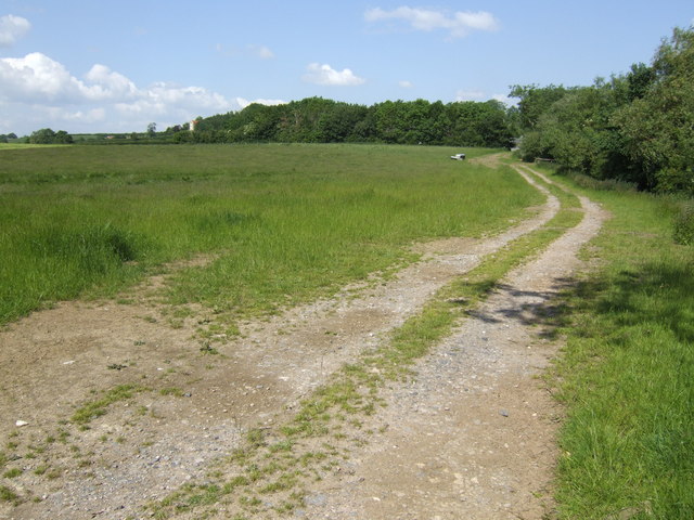
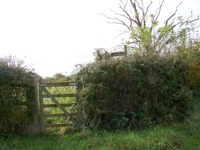
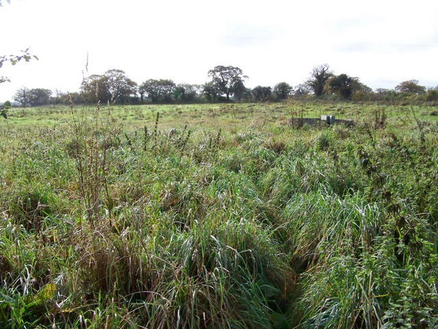
Numerous walking trails wind their way through Summerleaze Copse, allowing visitors to explore its hidden treasures. Along these paths, one can discover a variety of wildlife, including deer, foxes, rabbits, and a multitude of bird species. The copse also encompasses a small stream, which adds to the overall tranquility of the area.
Summerleaze Copse holds historical significance, as it is believed to have been used as a hunting ground by nobility in ancient times. The copse has been well-preserved, with efforts made to maintain its natural integrity and protect its biodiversity.
Visitors to Summerleaze Copse can enjoy a peaceful picnic surrounded by the sounds of nature or simply find solace in the serenity of the woodland. It serves as a haven for those seeking respite from the hustle and bustle of everyday life, offering a true escape into the heart of nature.
If you have any feedback on the listing, please let us know in the comments section below.
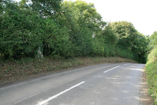
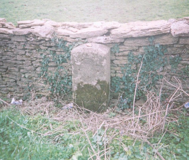
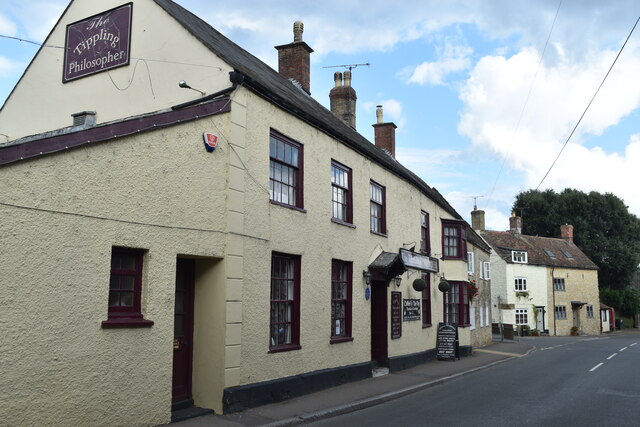
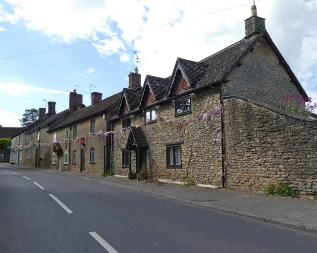
Summerleaze Copse Images
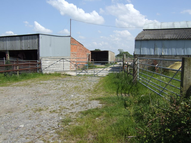
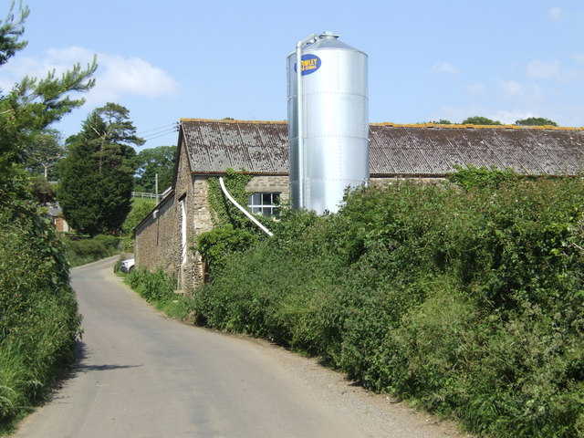
Images are sourced within 2km of 50.975389/-2.4371032 or Grid Reference ST6919. Thanks to Geograph Open Source API. All images are credited.


![Track near Newleaze Farm Leaving Bowden Road opposite <a href="https://www.geograph.org.uk/photo/3668508">ST6921 : Stile near Newleaze Farm</a>], but not a right of way. It&#039;s gloomy! Alas, I left the sunshine further west down the railway line.](https://s0.geograph.org.uk/geophotos/03/66/85/3668516_d47c3586.jpg)
Summerleaze Copse is located at Grid Ref: ST6919 (Lat: 50.975389, Lng: -2.4371032)
Administrative County: Somerset
District: South Somerset
Police Authority: Avon and Somerset
What 3 Words
///aunts.remission.thrusters. Near Milborne Port, Somerset
Nearby Locations
Related Wikis

Ven House
Ven House in Milborne Port, Somerset, England is an English manor house that has been designated as a Grade I listed building.Construction of the smaller...
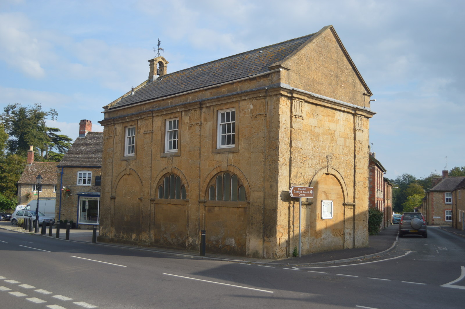
Milborne Port Town Hall
Milborne Port Town Hall is a municipal building in the High Street in Milborne Port, Somerset, England. The structure, which serves as meeting place of...

Milborne Port
Milborne Port is a village, electoral ward and civil parish in Somerset, England, east of Sherborne, and in the South Somerset district. It has a population...

Yenston
Yenston is a small hamlet in Somerset within the Parish of Henstridge. Located on the A357, the hamlet is located between Templecombe and Henstridge....
Church of St John the Evangelist, Milborne Port
The Church of St John the Evangelist in Milborne Port, Somerset, England is a cruciform church of late Anglo-Saxon date and parts may well span the Norman...

Purse Caundle
Purse Caundle is a village and civil parish in the county of Dorset in southwest England. It lies within the Dorset Council administrative area, about...

Laycock Railway Cutting
Laycock Railway Cutting (grid reference ST678213) is a 1.3 hectare geological Site of Special Scientific Interest near Milborne Port in Somerset, notified...

Yenston Priory
Yenston Priory was a Benedictine priory in Henstridge, Somerset, England. It was a cell of the Abbey of Sever in Normandy, France. It was founded by Hugh...
Nearby Amenities
Located within 500m of 50.975389,-2.4371032Have you been to Summerleaze Copse?
Leave your review of Summerleaze Copse below (or comments, questions and feedback).