Drayton Spinney
Wood, Forest in Staffordshire Newcastle-under-Lyme
England
Drayton Spinney
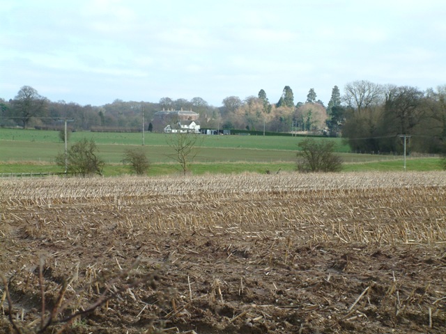
Drayton Spinney is a picturesque village located in the county of Staffordshire, England. Situated in the heart of the Midlands, it is surrounded by lush woodlands and serene forests, earning it the nickname "Wood, Forest." The village is part of the larger district of Tamworth and has a population of around 1,500 residents.
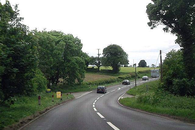
The village is renowned for its natural beauty, with a multitude of walking trails and green spaces for residents and visitors to explore. Drayton Spinney is blessed with an abundance of wildlife, making it a haven for nature enthusiasts and bird watchers. The woodlands are home to a variety of species, including deer, foxes, and numerous bird species.
The village itself is a charming and close-knit community, with a sense of tranquility and peace that is hard to find elsewhere. It boasts a local primary school, a village hall, and a pub, providing essential amenities for its residents. The pub, in particular, serves as a gathering place for locals, offering a warm and friendly atmosphere.
Located just a short drive from the town of Tamworth, Drayton Spinney benefits from its proximity to larger urban areas while still maintaining its rural charm. The village enjoys good transport links, with easy access to major road networks and public transportation.
Overall, Drayton Spinney, Staffordshire (Wood, Forest) offers a serene and idyllic escape from the hustle and bustle of city life, providing a peaceful retreat for those seeking a slower pace of living surrounded by beautiful natural landscapes.
If you have any feedback on the listing, please let us know in the comments section below.
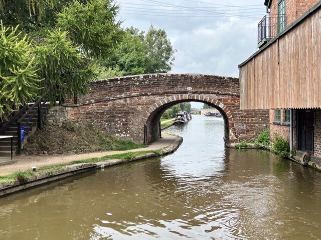
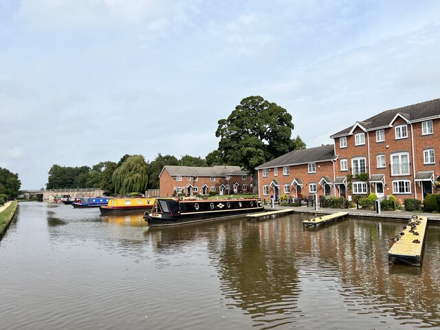
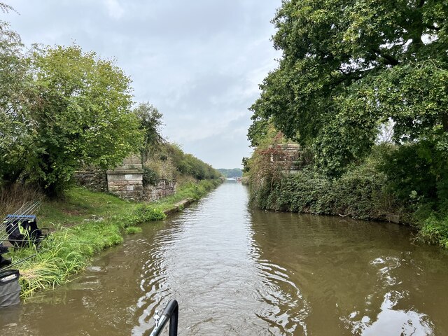
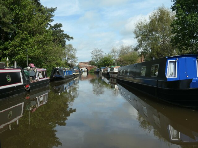
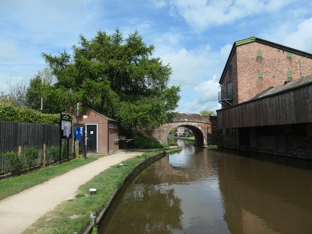
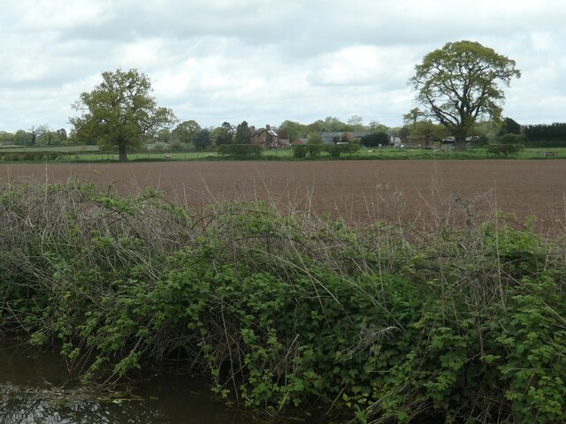
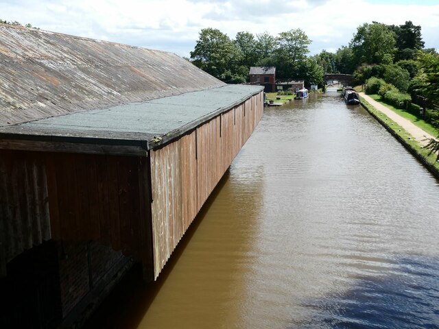
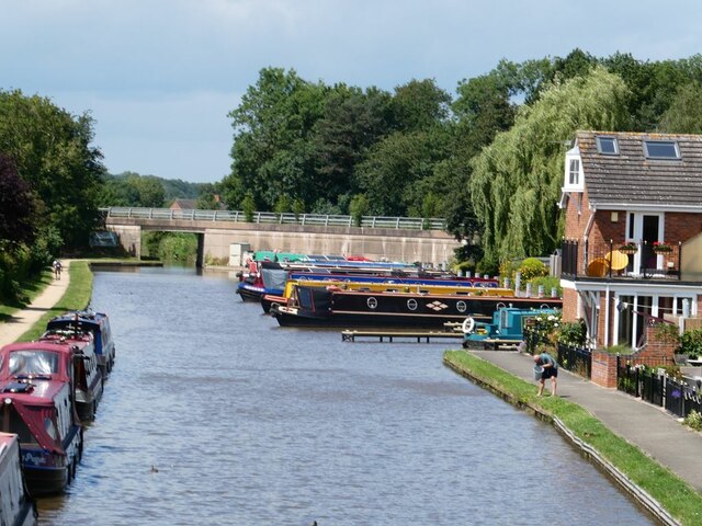
Drayton Spinney Images
Images are sourced within 2km of 52.920672/-2.4565354 or Grid Reference SJ6936. Thanks to Geograph Open Source API. All images are credited.


Drayton Spinney is located at Grid Ref: SJ6936 (Lat: 52.920672, Lng: -2.4565354)
Administrative County: Staffordshire
District: Newcastle-under-Lyme
Police Authority: Staffordshire
What 3 Words
///after.wager.myths. Near Market Drayton, Shropshire
Nearby Locations
Related Wikis

Betton, Shropshire
Betton is a hamlet in the civil parish of Norton in Hales, in the Shropshire district, in the county of Shropshire, England.

Oakley, Staffordshire
Oakley is a hamlet in Staffordshire, England. It is within Mucklestone ward of Loggerheads Parish. Oakley Hall, a former seat of the Chetwode family, is...
Oakley Hall, Staffordshire
Oakley Hall is an early 18th century 14,929 sf mansion house at Mucklestone, Staffordshire near to the Shropshire town of Market Drayton. It is a Grade...

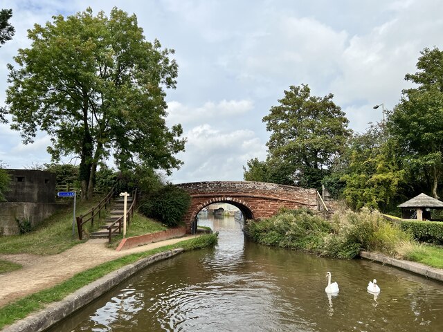
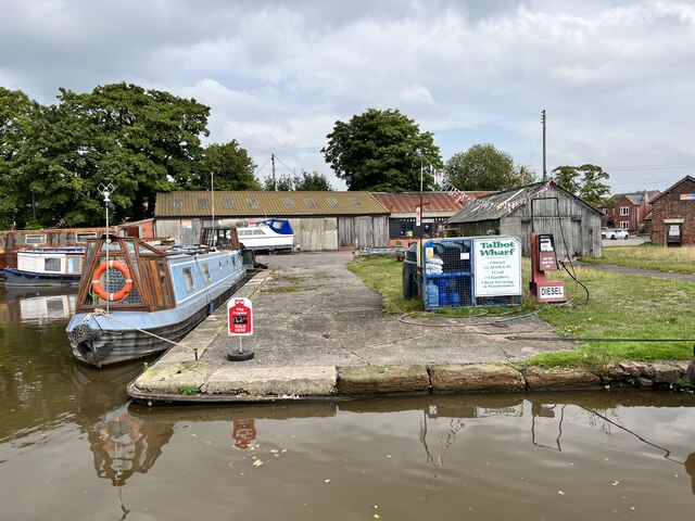
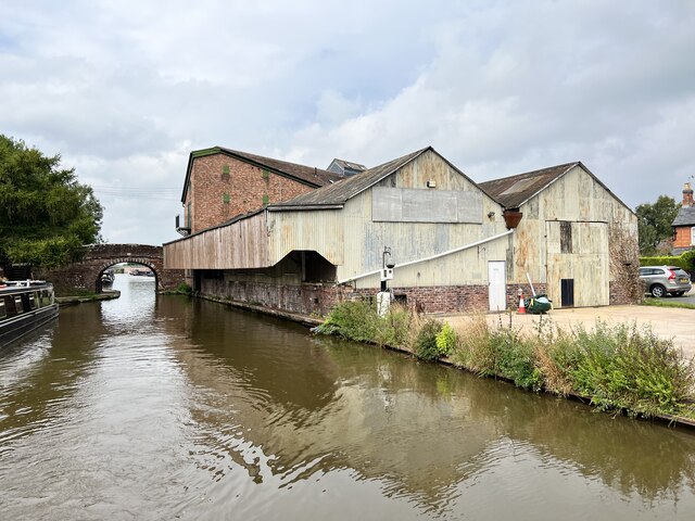
Birmingham and Liverpool Junction Canal
The Birmingham and Liverpool Junction Canal was a canal in England which ran from Nantwich, where it joined the Chester Canal, to Autherley, where it joined...
Grove School, Market Drayton
Grove School is a coeducational secondary school and sixth form located in Market Drayton, Shropshire, England.Grove School is Market Drayton's only secondary...

Audley's Cross
Audley's Cross is a cross sited in Blore Heath, Staffordshire to mark the spot on which James Touchet, Lord Audley was killed at the battle of Blore Heath...

Battle of Blore Heath
The Battle of Blore Heath was a battle in the English Wars of the Roses that was fought on 23 September 1459, at Blore Heath, Staffordshire. Blore Heath...

Ridgwardine
Ridgwardine is a small hamlet in Shropshire in the civil parish of Norton in Hales. It is made up of Ridgwardine Manor, Upper Farm, and Manor Farm. �...
Nearby Amenities
Located within 500m of 52.920672,-2.4565354Have you been to Drayton Spinney?
Leave your review of Drayton Spinney below (or comments, questions and feedback).