Ash Grove

Wood, Forest in Gloucestershire Forest of Dean

England

Ash Grove

Tourist at Tintern Abbey As I was wandering around and about the abbey taking photos this retired couple pulled their car onto the pavement and the wife climbed out and took a few digital photos of the ruins, the husband rummaged in a camera case in the boot and took a few photos with his digital SLR then he climbed back into the car and they went. Tintern done in maybe two minutes. "What is this life, if full of care, we have no time to stand and stare?"...
Tourist at Tintern Abbey Credit: Jeremy Bolwell

Ash Grove is a picturesque woodland located in Gloucestershire, England. Situated near the village of Ashleworth, it covers an area of approximately 50 acres and is renowned for its natural beauty and diverse ecosystem. The grove is part of the larger Ashleworth Ham Nature Reserve and is managed by the Gloucestershire Wildlife Trust.

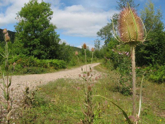
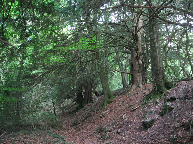
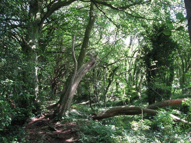
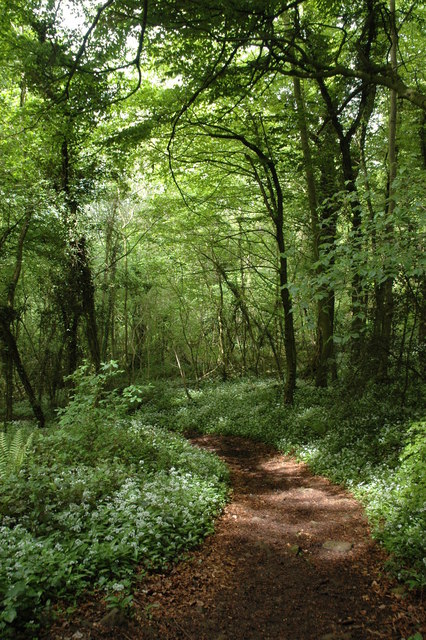
The wood is predominantly made up of ash trees, hence its name, but also features a variety of other tree species such as oak, beech, and elm. The dense canopy formed by these trees creates a cool and serene atmosphere, making it a popular destination for nature lovers and hikers alike.

The forest floor is adorned with a rich carpet of bluebells in the spring, adding a burst of vibrant color to the surroundings. It is also home to an array of wildlife, including deer, foxes, badgers, and a wide variety of bird species. The grove serves as an important habitat for these creatures, providing them with shelter and food sources.

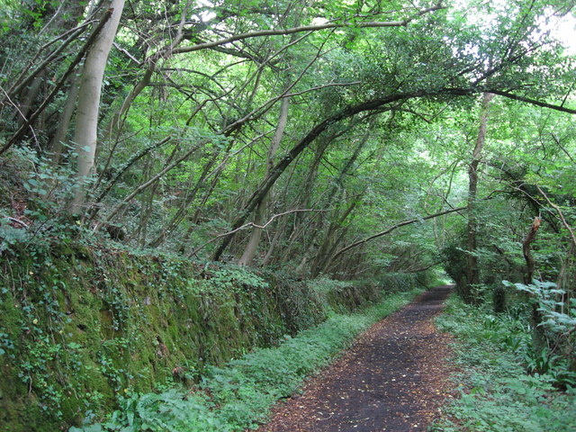
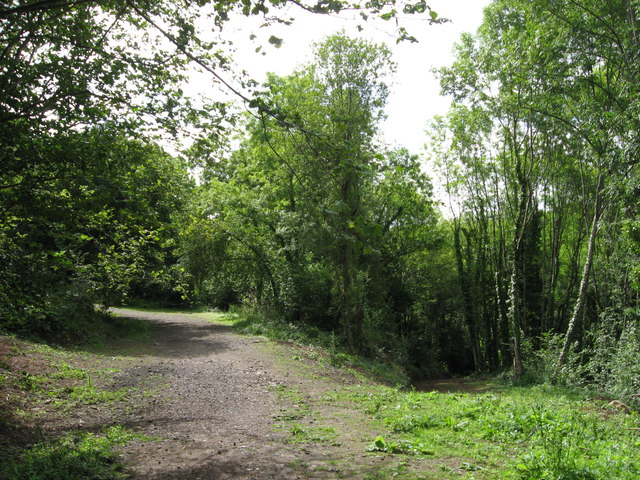
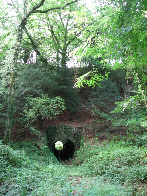
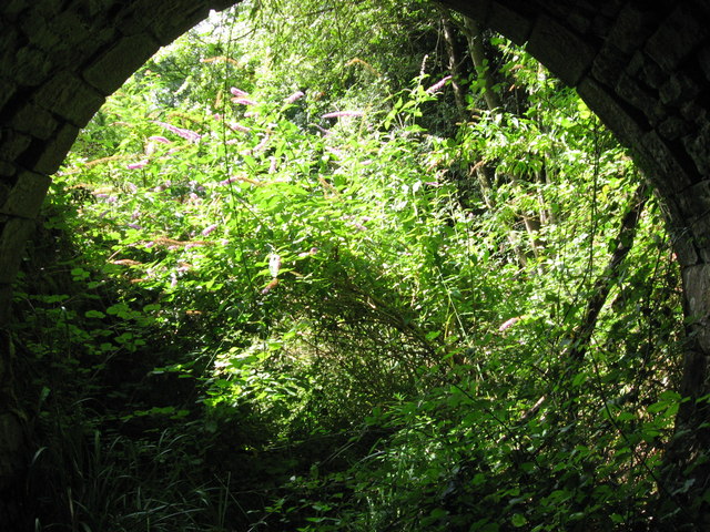
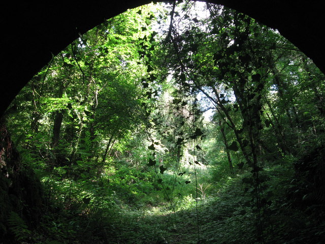
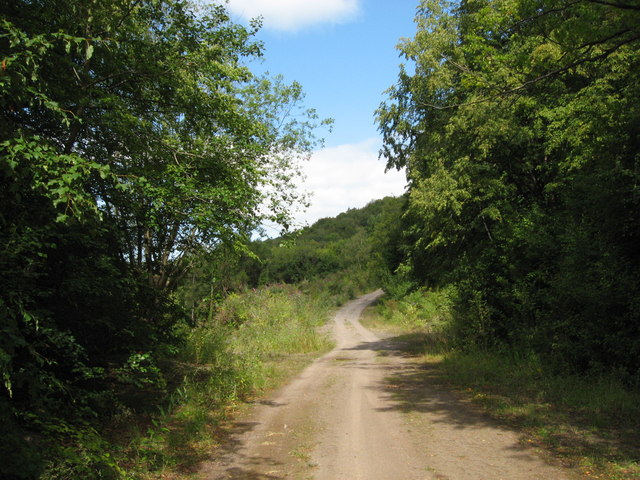
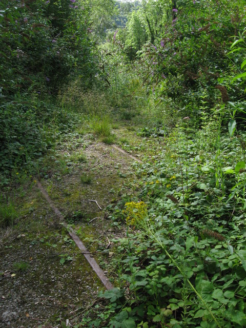
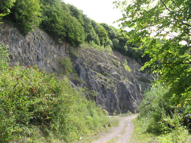
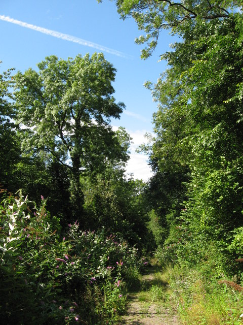
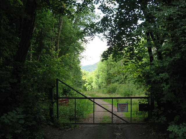
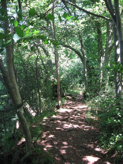
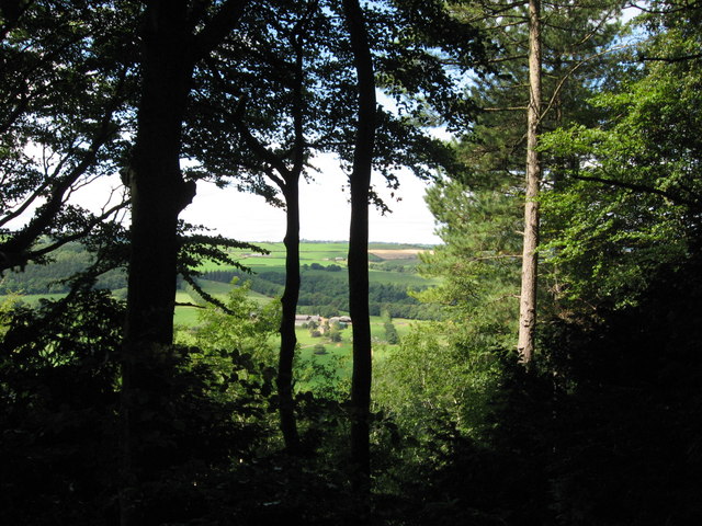
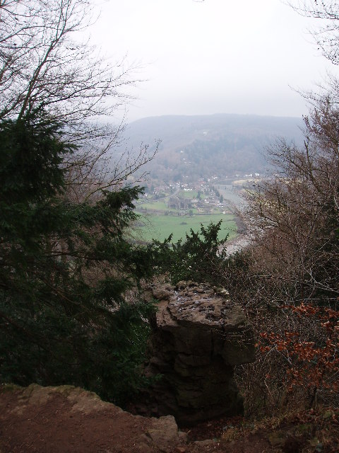
Several well-maintained footpaths wind through Ash Grove, allowing visitors to explore the area and enjoy its natural wonders. These paths offer breathtaking views of the surrounding countryside, with glimpses of the River Severn in the distance.

Ash Grove, Gloucestershire is not only a haven for wildlife but also a place of tranquility and beauty. Its ancient trees, diverse flora, and thriving fauna make it a cherished spot for those seeking solace in nature's embrace.

If you have any feedback on the listing, please let us know in the comments section below.

Ash Grove Images

Images are sourced within 2km of 51.691191/-2.650121 or Grid Reference ST5599. Thanks to Geograph Open Source API. All images are credited.

Tourist at Tintern Abbey As I was wandering around and about the abbey taking photos this retired couple pulled their car onto the pavement and the wife climbed out and took a few digital photos of the ruins, the husband rummaged in a camera case in the boot and took a few photos with his digital SLR then he climbed back into the car and they went. Tintern done in maybe two minutes. "What is this life, if full of care, we have no time to stand and stare?"...
Tourist at Tintern Abbey
As I was wandering around and about the abbey taking photos this retired couple pulled their car onto the pavement and the wife climbed out and took a few digital photos of the ruins, the husband rummaged in a camera case in the boot and took a few photos with his digital SLR then he climbed back into the car and they went. Tintern done in maybe two minutes. "What is this life, if full of care, we have no time to stand and stare?"...
Tintern Abbey
Tintern Abbey
Tintern Abbey, east window
Path along course of Wye Valley Railway near Tintern
Path along course of Wye Valley Railway near Tintern The railway line carried on straight ahead at this point, through the trees. Walkers now have a choice and can drop down right, or go up to the left.
Path along course of Wye Valley Railway near Tintern
The railway line carried on straight ahead at this point, through the trees. Walkers now have a choice and can drop down right, or go up to the left.
Path junction in woods near River Wye
Tunnel beneath disused railway line near Tintern Quarry
(No) light at the end of the tunnel The path at the western end of the tunnel (<a href="https://www.geograph.org.uk/photo/2544718">ST5498 : Tunnel beneath disused railway line near Tintern Quarry</a>) is very overgrown and currently impassable.
(No) light at the end of the tunnel
The path at the western end of the tunnel (ST5498 : Tunnel beneath disused railway line near Tintern Quarry) is very overgrown and currently impassable.
Path from tunnel under railway near Tintern Quarry The view from the eastern portal of <a href="https://www.geograph.org.uk/photo/2544718">ST5498 : Tunnel beneath disused railway line near Tintern Quarry</a> shows an overgrown, but still passable path.
Path from tunnel under railway near Tintern Quarry
The view from the eastern portal of ST5498 : Tunnel beneath disused railway line near Tintern Quarry shows an overgrown, but still passable path.
Path near Tintern Quarry
Disused railway near Tintern Quarry The rails are still in place, though obviously have not seen a train for many years!
Disused railway near Tintern Quarry
The rails are still in place, though obviously have not seen a train for many years!
Part of Tintern Quarry
Footpath near Tintern Quarry
Gateway to Tintern Quarry
Beside Offa's Dyke
Beside Offa's Dyke
On Offa's Dyke
On Offa's Dyke
View west from Offa's Dyke Reddings Farm can be seen between the trees.
View west from Offa's Dyke
Reddings Farm can be seen between the trees.
On Offa's Dyke
On Offa's Dyke
Show me another place!

Ash Grove is located at Grid Ref: ST5599 (Lat: 51.691191, Lng: -2.650121)

Administrative County: Gloucestershire

District: Forest of Dean

Police Authority: Gloucestershire

What 3 Words

///explored.eyebrows.processor. Near Tintern, Monmouthshire

Related Wikis

Miss Grace's Lane

Miss Grace's Lane (also known as Miss Grace's Lane Swallett), near Tidenham in the Forest of Dean, Gloucestershire, England, is a natural cave system,...

Devil's Pulpit, Gloucestershire

The Devil's Pulpit is a rocky limestone outcrop and scenic viewpoint in the Forest of Dean District of Gloucestershire, England, within the Wye Valley...

Poor's Allotment

Poor's Allotment (grid reference ST560990) is a 28.57-hectare (70.6-acre) biological Site of Special Scientific Interest in Gloucestershire, notified in...

East Wood, Tidenham

East Wood (grid reference SO561001) (west site) and (grid reference SO563001) (east site) is a 0.82-hectare (2.0-acre) nature reserve in Gloucestershire...

Lippets Grove

Lippets Grove (grid reference SO540000) is a 5-hectare (12-acre) nature reserve in Gloucestershire. The site was leased from the Forestry Commission in...

Tintern Quarry

Tintern Quarry was a quarry in the Forest of Dean, Gloucestershire, England. It was served by the Wye Valley Railway from 1876 until it closed in 1981...

Ridley Bottom, Tidenham

Ridley Bottom (grid reference ST563985) is a 1.1-hectare (2.7-acre) nature reserve in Gloucestershire. The site is listed in the 'Forest of Dean Local...

Shorn Cliff and Caswell Woods

Shorn Cliff And Caswell Woods (SO540005 & SO540990) is a 69.2-hectare (171-acre) biological Site of Special Scientific Interest in Gloucestershire, notified...

Related Videos

Mishaps hiking in wales

So we decided to vlog our hike in wales with joe w, floppy ross, tiny.t 16, smorga41, Luke hill and j hill. Edited by ...

Nearby Amenities

Located within 500m of 51.691191,-2.650121
Miss Grace's Lane Cave
Created By: Potlatch 0.10f
Natural: cave_entrance
Wikidata: Q16895211
Lat/Long: 51.6911958/-2.6488066
Man Made: survey_point
Operator: Ordnance Survey
Operator Wikidata: Q548721
Ref: S3378
Survey Point Structure: pillar
Lat/Long: 51.6900334/-2.644319
The data included in this document is from www.openstreetmap.org. The data is made available under ODbL.

Have you been to Ash Grove?

Leave your review of Ash Grove below (or comments, questions and feedback).