Clayton Wood

Wood, Forest in Gloucestershire Forest of Dean

England

Clayton Wood

Path along course of Wye Valley Railway near Tintern
Path along course of Wye Valley Railway near Tintern Credit: Gareth James

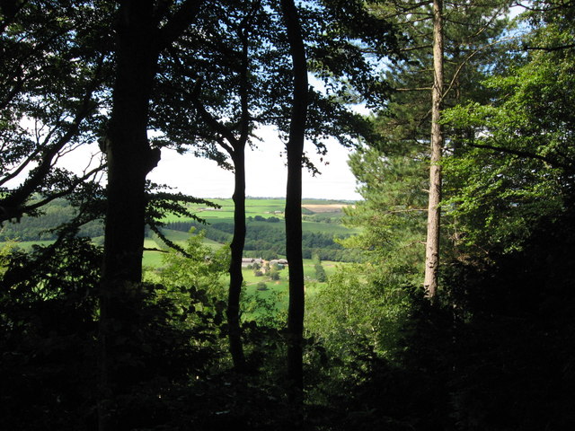
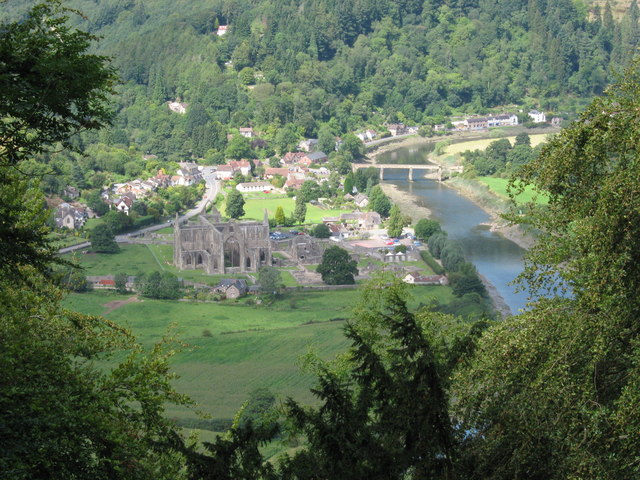
Clayton Wood is a picturesque forested area located in Gloucestershire, England. It is situated in the southern part of the county, near the town of Stroud. Covering an area of approximately 300 acres, Clayton Wood is known for its diverse range of flora and fauna, making it a popular destination for nature lovers and outdoor enthusiasts.

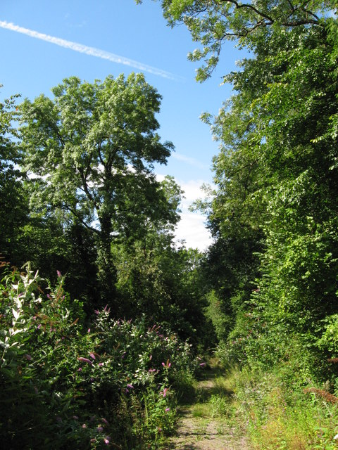
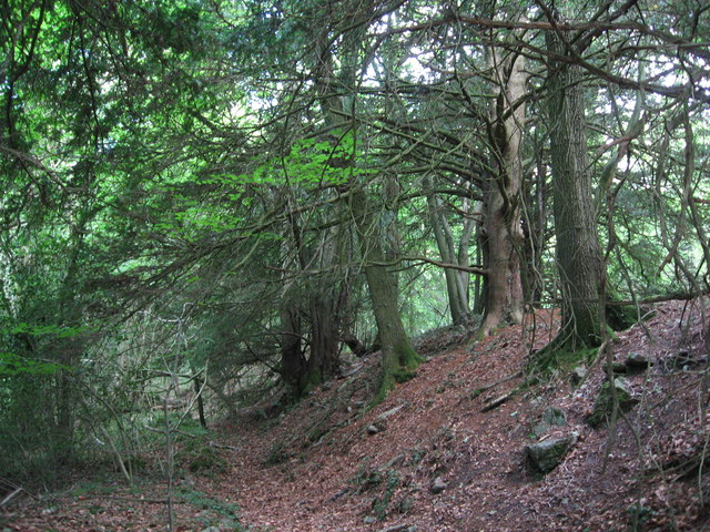
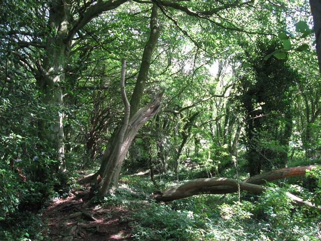
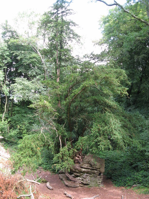
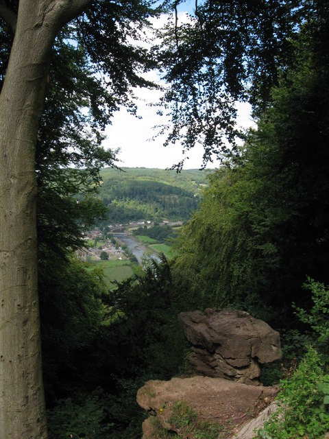
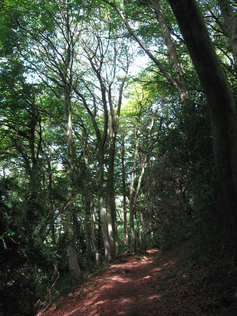
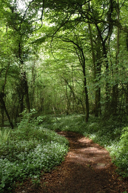
The woodland is predominantly composed of native broad-leaved trees such as oak, beech, and ash, providing a haven for various wildlife species. Visitors can expect to encounter a variety of bird species, including woodpeckers, owls, and buzzards, as well as small mammals like squirrels and hedgehogs. The forest floor is also home to a rich assortment of wildflowers and fungi, adding to the area's natural beauty.

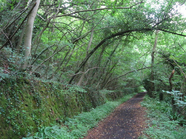
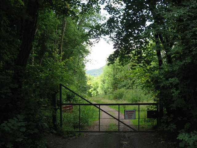
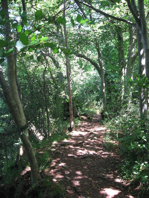
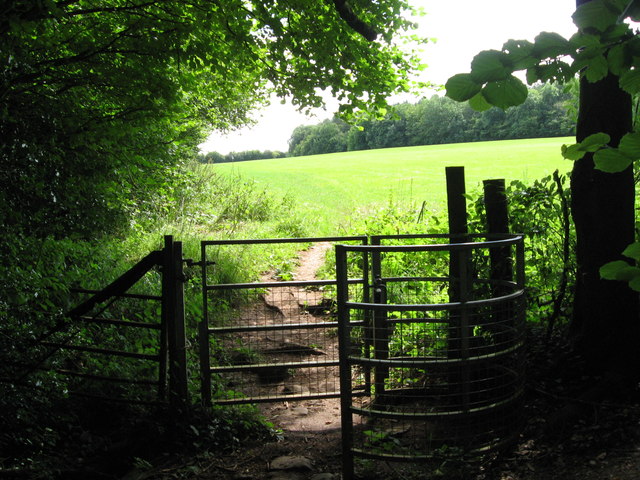
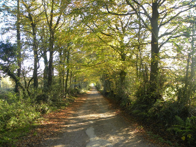
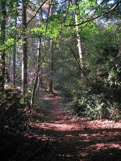
Clayton Wood offers numerous walking trails, allowing visitors to explore its enchanting surroundings. These paths cater to different abilities and interests, ensuring there is something for everyone. The forest's tranquil atmosphere provides a peaceful retreat away from the hustle and bustle of everyday life.

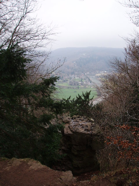
In addition to its natural splendor, Clayton Wood boasts a fascinating history. The area was once part of the Royal Hunting Forest of the Kingswood, dating back to the medieval period. Ancient earthworks and remnants of charcoal burning can still be seen in certain parts of the woodland, offering glimpses into its past.

Overall, Clayton Wood is a captivating destination for those seeking a slice of nature's beauty. With its diverse flora and fauna, picturesque trails, and intriguing history, it is an ideal spot for outdoor exploration and relaxation.

If you have any feedback on the listing, please let us know in the comments section below.

Clayton Wood Images

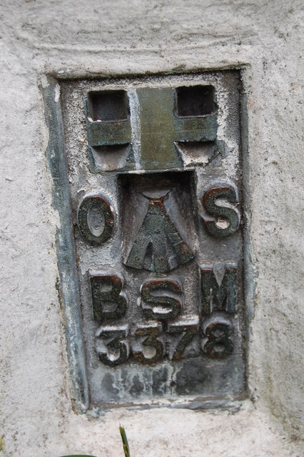
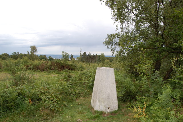
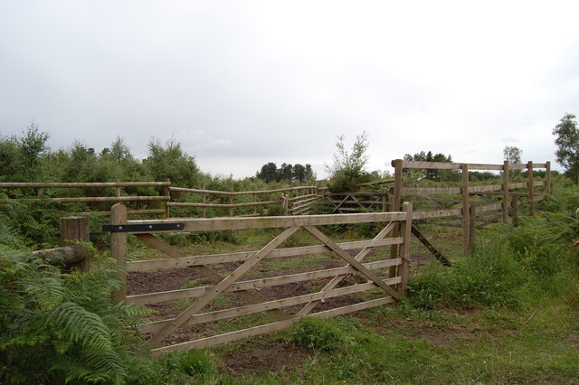
Images are sourced within 2km of 51.694711/-2.646077 or Grid Reference ST5599. Thanks to Geograph Open Source API. All images are credited.

Path along course of Wye Valley Railway near Tintern
Footpath near Tintern Quarry
Gateway to Tintern Quarry
Beside Offa's Dyke
Beside Offa's Dyke
On Offa's Dyke
On Offa's Dyke
View west from Offa's Dyke Reddings Farm can be seen between the trees.
View west from Offa's Dyke
Reddings Farm can be seen between the trees.
On Offa's Dyke
On Offa's Dyke
Yew tree growing from rocky outcrop Near the Devil's Pulpit on Offa's Dyke.
Yew tree growing from rocky outcrop
Near the Devil's Pulpit on Offa's Dyke.
The Devil's Pulpit
The Devil's Pulpit
View from the Devil's Pulpit As seen in <a href="https://www.geograph.org.uk/photo/2544763">ST5499 : The Devil's Pulpit</a>, the view is over Tintern, with its Abbey, the River Wye and the Wireworks Branch bridge prominent.
View from the Devil's Pulpit
As seen in ST5499 : The Devil's Pulpit, the view is over Tintern, with its Abbey, the River Wye and the Wireworks Branch bridge prominent.
Kissing Gate near the Devil's Pulpit
On Offa's Dyke
On Offa's Dyke
Flush Bracket on Trig Pillar
Trig Pillar Tidenham Park
Animal Pound Tidenham  Park
Animal Pound Tidenham Park
Miss Graces Lane This lane borders "The Park", an area of woodland and heathland.
Miss Graces Lane
This lane borders "The Park", an area of woodland and heathland.
Another Kissing Gate The stiles on the path from Tidenham Chase to the "Devil's Pulpit" have been replaced with kissing gates.
Another Kissing Gate
The stiles on the path from Tidenham Chase to the "Devil's Pulpit" have been replaced with kissing gates.
Path through Parson's Allotment Public footpath passing through mixed woodland.
Path through Parson's Allotment
Public footpath passing through mixed woodland.
Show me another place!

Clayton Wood is located at Grid Ref: ST5599 (Lat: 51.694711, Lng: -2.646077)

Administrative County: Gloucestershire

District: Forest of Dean

Police Authority: Gloucestershire

What 3 Words

///poets.legwork.blocking. Near Tintern, Monmouthshire

Related Wikis

Nearby Amenities

Located within 500m of 51.694711,-2.646077
Miss Grace's Lane Cave
Created By: Potlatch 0.10f
Natural: cave_entrance
Wikidata: Q16895211
Lat/Long: 51.6911958/-2.6488066
Bus Stop
Madgett Cottages
Naptan AtcoCode: 1600GLF749
Naptan Bearing: S
Naptan CommonName: Madgett Cottages
Naptan NaptanCode: gloadjgj
Naptan Street: B4228
Naptan Verified: no
Source: naptan_import
Lat/Long: 51.6975456/-2.640569
Bus Stop
Madgett Cottages
Naptan AtcoCode: 1600GLF750
Naptan Bearing: N
Naptan CommonName: Madgett Cottages
Naptan Indicator: Opp
Naptan NaptanCode: gloadjgd
Naptan Street: B4228
Naptan Verified: no
Source: naptan_import
Lat/Long: 51.6974548/-2.6407269
Bus Stop
Park Hill Ln
Bench: yes
Naptan AtcoCode: 1600GLF751
Naptan Bearing: S
Naptan CommonName: Park Hill Ln
Naptan NaptanCode: gloadjmt
Naptan Street: B4228
Naptan Verified: no
Shelter: yes
Source: naptan_import
Lat/Long: 51.694893/-2.63894
Bus Stop
Park Hill Ln
Naptan AtcoCode: 1600GLF752
Naptan Bearing: N
Naptan CommonName: Park Hill Ln
Naptan Indicator: Opp
Naptan NaptanCode: gloadjmp
Naptan Street: B4228
Naptan Verified: no
Source: naptan_import
Lat/Long: 51.6950986/-2.6391455
Addr Housename: Madgett Cottages
Lat/Long: 51.6973044/-2.6402684
Give Way
Direction: backward
Lat/Long: 51.6950851/-2.6389953
The data included in this document is from www.openstreetmap.org. The data is made available under ODbL.

Have you been to Clayton Wood?

Leave your review of Clayton Wood below (or comments, questions and feedback).