Quarry Plantation
Wood, Forest in Gloucestershire Forest of Dean
England
Quarry Plantation
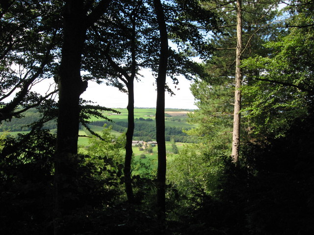
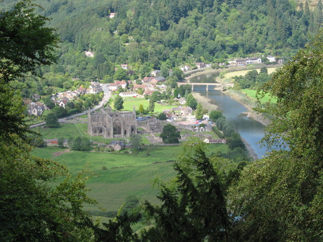
Quarry Plantation is a beautiful woodland area located in Gloucestershire, England. Covering a vast expanse, it is a place of natural beauty and tranquility. The plantation is situated in the heart of the Forest of Dean, a renowned ancient woodland that spans over 42 square miles.
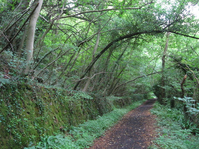
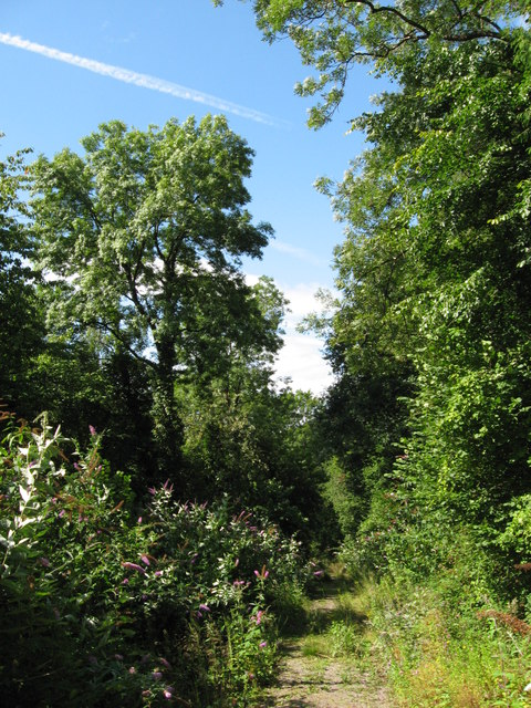
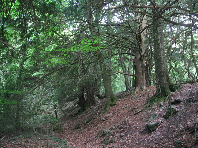
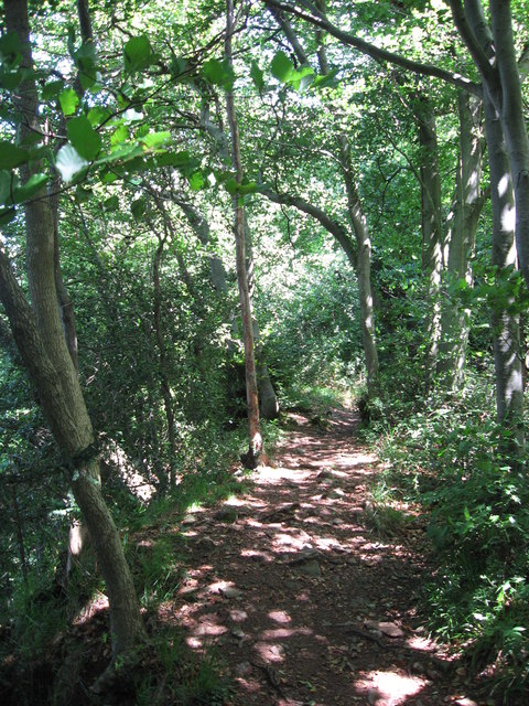
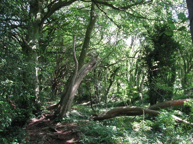
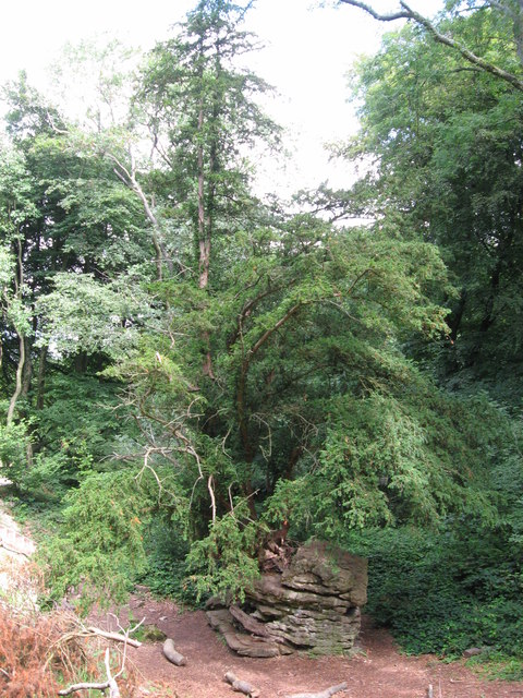
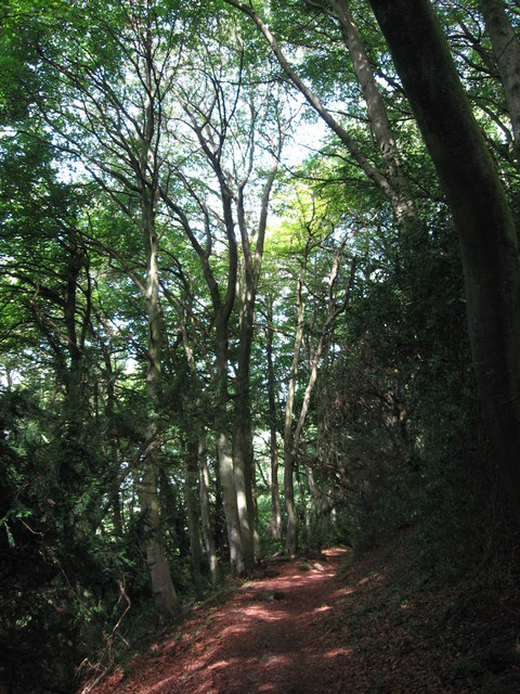
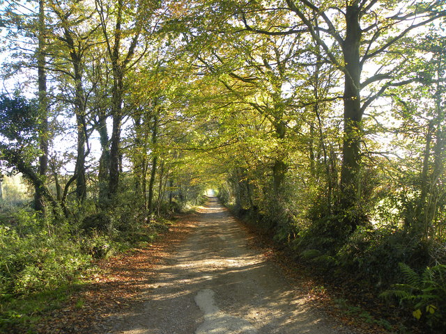
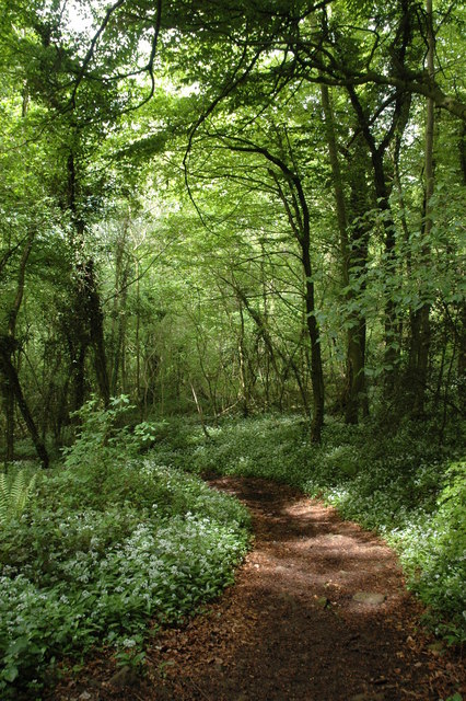
The woodland in Quarry Plantation is predominantly composed of mature oak trees, with some areas also featuring birch, beech, and ash trees. The lush greenery provides a haven for a wide array of wildlife, including various bird species, deer, squirrels, and numerous insects. The woodland floor is covered in a rich carpet of ferns, bluebells, and wildflowers, creating a picturesque and serene atmosphere.
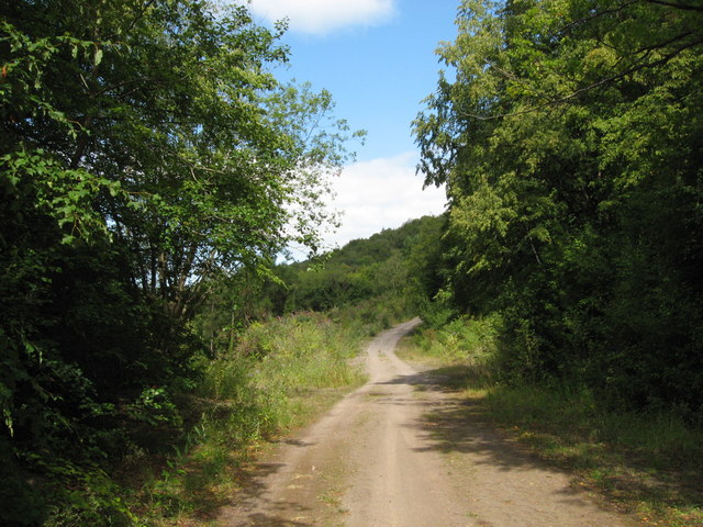
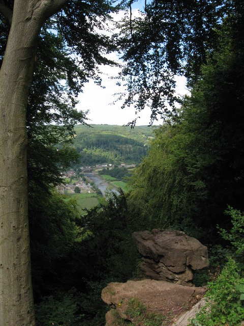
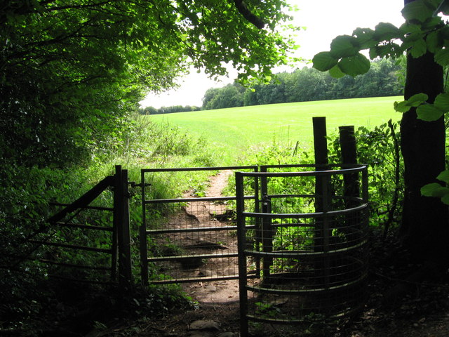
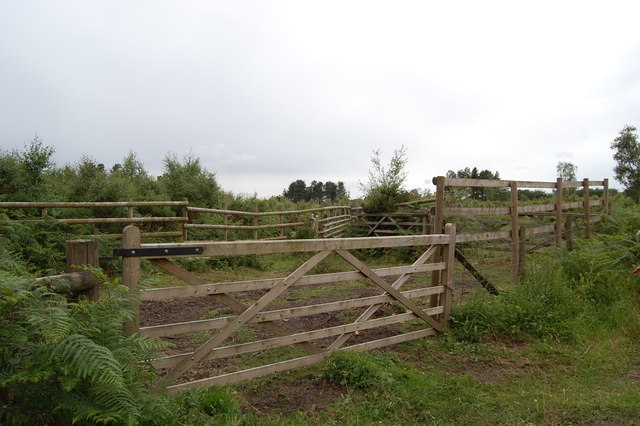
Quarry Plantation is a popular spot for nature enthusiasts and hikers, offering many walking trails that meander through the woodland. The trails are well-maintained and provide visitors with the opportunity to explore the diverse ecosystem while enjoying the peaceful surroundings. There are also designated picnic areas, allowing visitors to relax and soak in the natural splendor.
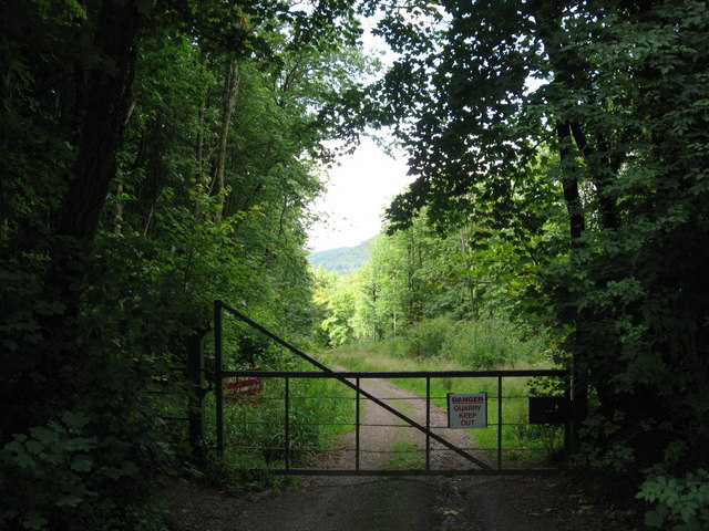
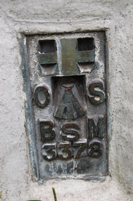
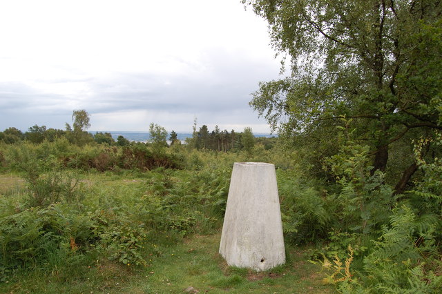
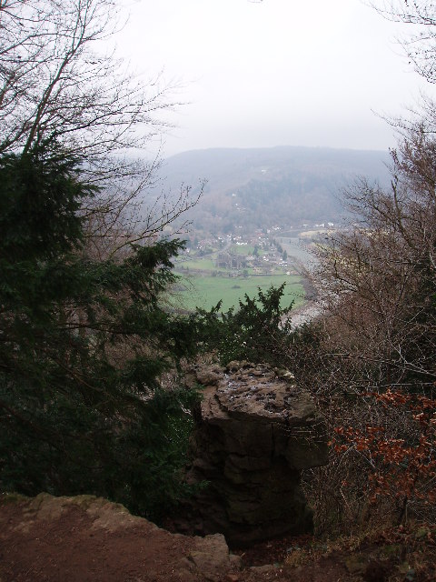
The plantation has a rich history, with evidence of quarrying activity in the area dating back several centuries. The stone extracted from the quarry was used for various purposes, including the construction of local buildings and roads. Today, remnants of the old quarry can still be seen, providing a glimpse into the area's industrial past.
Overall, Quarry Plantation in Gloucestershire is a hidden gem, offering visitors a chance to escape the hustle and bustle of modern life and immerse themselves in the beauty of nature.
If you have any feedback on the listing, please let us know in the comments section below.
Quarry Plantation Images
Images are sourced within 2km of 51.692303/-2.6408634 or Grid Reference ST5599. Thanks to Geograph Open Source API. All images are credited.

Quarry Plantation is located at Grid Ref: ST5599 (Lat: 51.692303, Lng: -2.6408634)
Administrative County: Gloucestershire
District: Forest of Dean
Police Authority: Gloucestershire
What 3 Words
///wobbling.mallets.workshop. Near Tintern, Monmouthshire
Nearby Locations
Related Wikis


Related Videos


Devils pulpit’s | An Adventurers Place To Visit In Scotland. #travel #ukvloger
Did you know that not too far from Glasgow and Edinburgh in Scotland is a beautiful moss covered, 100ft deep gorge, through ...


Exploring The Lost & Abandoned Village of LANCAUT
Today we are on the Wales/England border, and we explore the mysterious abandoned village of Lancaut. This hidden gem ...
Nearby Amenities
Located within 500m of 51.692303,-2.6408634Have you been to Quarry Plantation?
Leave your review of Quarry Plantation below (or comments, questions and feedback).