Beacon Ash

Wood, Forest in Gloucestershire Forest of Dean

England

Beacon Ash

Path along course of Wye Valley Railway near Tintern
Path along course of Wye Valley Railway near Tintern Credit: Gareth James

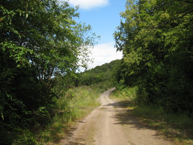
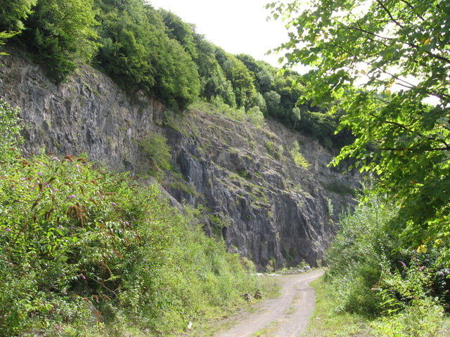
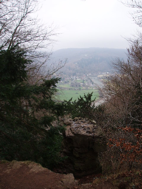
Beacon Ash is a small woodland area located in the county of Gloucestershire, England. Situated within the larger Forest of Dean, it covers an approximate area of 10 hectares. The woodland is known for its natural beauty and diverse ecosystem, making it a popular destination for nature enthusiasts and hikers.

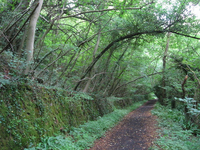
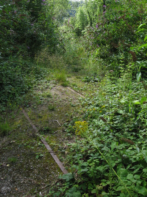
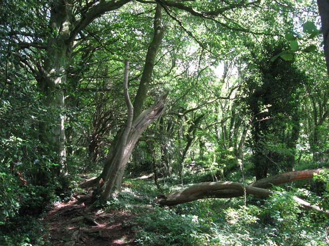
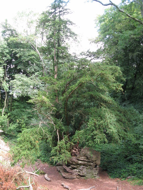
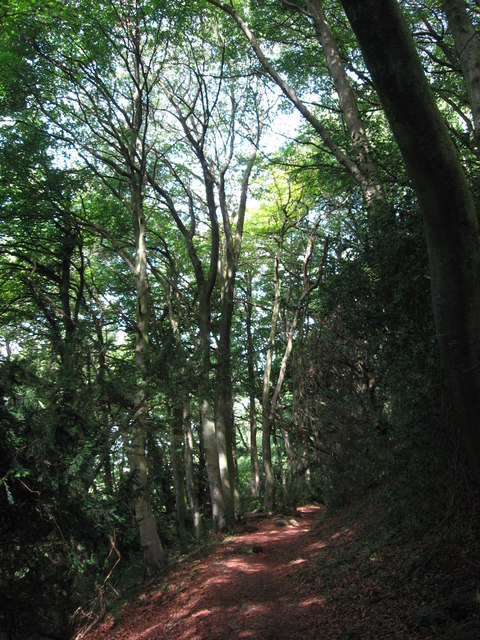
Beacon Ash is predominantly composed of native deciduous trees such as oak, beech, and ash, which create a dense canopy providing shade and shelter for a variety of wildlife. The forest floor is covered in a thick layer of leaf litter, creating a rich habitat for small mammals, insects, and fungi.

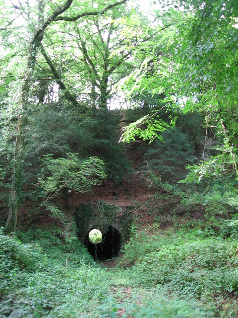
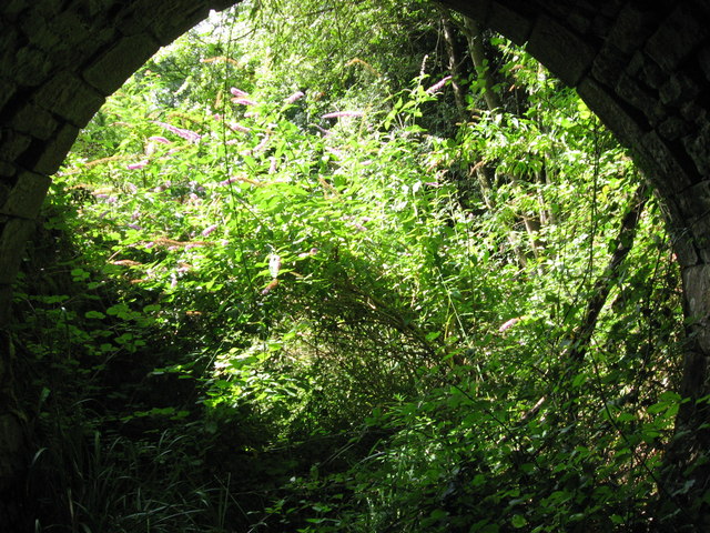
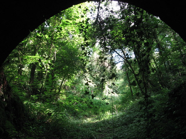
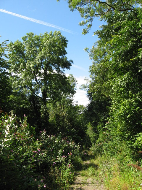
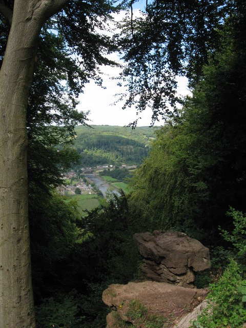
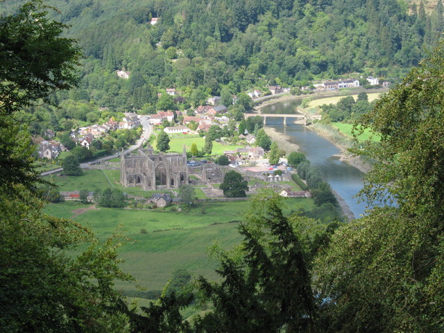
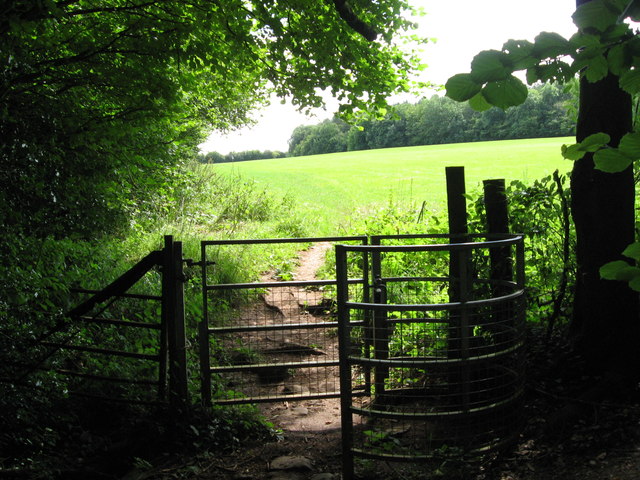
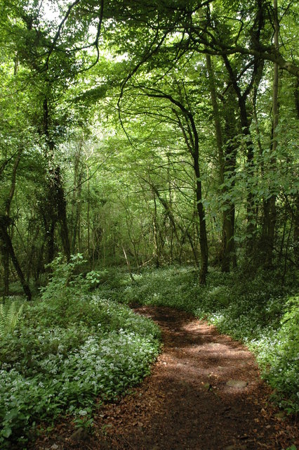
The woodland is intersected by several well-maintained trails, allowing visitors to explore its natural wonders. These paths wind through the trees, offering glimpses of bluebells, wild garlic, and other wildflowers during the spring season. In addition to its natural beauty, Beacon Ash also boasts a small stream that meanders through the woodland, adding to its charm.

The woodland is home to a range of animal species, including deer, foxes, badgers, and various bird species such as woodpeckers and owls. It is also a habitat for rare and endangered species, including the protected dormouse.

Beacon Ash is managed by the local authorities, who ensure its conservation and protection. Visitors are encouraged to respect the environment and follow designated paths to minimize disturbance to the wildlife. Overall, Beacon Ash offers a tranquil and picturesque setting for nature lovers to immerse themselves in the beauty of Gloucestershire's woodlands.

If you have any feedback on the listing, please let us know in the comments section below.
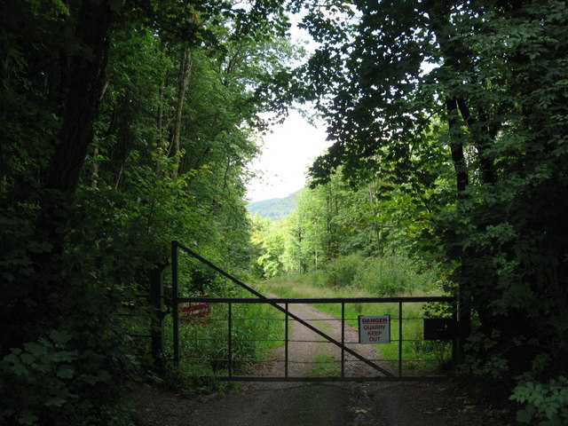
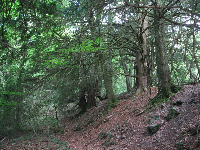
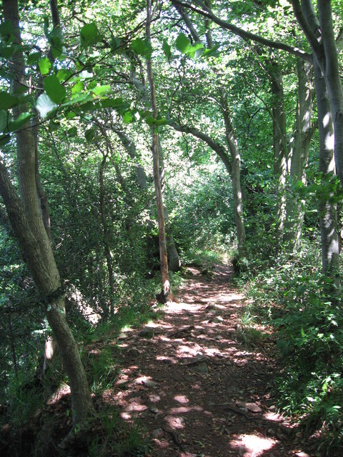
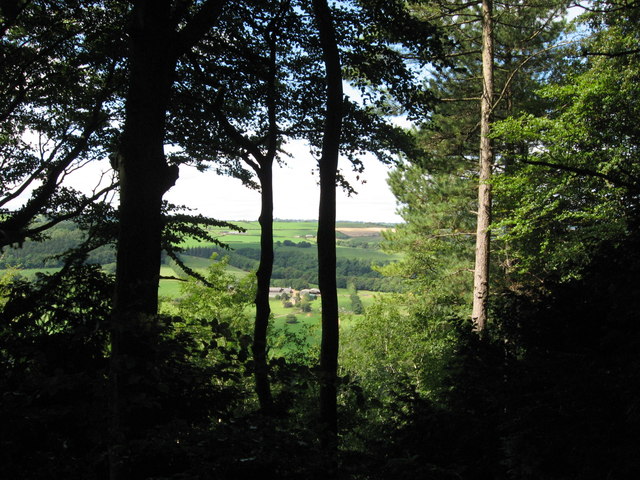
Beacon Ash Images

Images are sourced within 2km of 51.690109/-2.6392989 or Grid Reference ST5599. Thanks to Geograph Open Source API. All images are credited.

Path along course of Wye Valley Railway near Tintern
Tunnel beneath disused railway line near Tintern Quarry
(No) light at the end of the tunnel The path at the western end of the tunnel (<a href="https://www.geograph.org.uk/photo/2544718">ST5498 : Tunnel beneath disused railway line near Tintern Quarry</a>) is very overgrown and currently impassable.
(No) light at the end of the tunnel
The path at the western end of the tunnel (ST5498 : Tunnel beneath disused railway line near Tintern Quarry) is very overgrown and currently impassable.
Path from tunnel under railway near Tintern Quarry The view from the eastern portal of <a href="https://www.geograph.org.uk/photo/2544718">ST5498 : Tunnel beneath disused railway line near Tintern Quarry</a> shows an overgrown, but still passable path.
Path from tunnel under railway near Tintern Quarry
The view from the eastern portal of ST5498 : Tunnel beneath disused railway line near Tintern Quarry shows an overgrown, but still passable path.
Path near Tintern Quarry
Disused railway near Tintern Quarry The rails are still in place, though obviously have not seen a train for many years!
Disused railway near Tintern Quarry
The rails are still in place, though obviously have not seen a train for many years!
Part of Tintern Quarry
Footpath near Tintern Quarry
Gateway to Tintern Quarry
Beside Offa's Dyke
Beside Offa's Dyke
On Offa's Dyke
On Offa's Dyke
View west from Offa's Dyke Reddings Farm can be seen between the trees.
View west from Offa's Dyke
Reddings Farm can be seen between the trees.
On Offa's Dyke
On Offa's Dyke
Yew tree growing from rocky outcrop Near the Devil's Pulpit on Offa's Dyke.
Yew tree growing from rocky outcrop
Near the Devil's Pulpit on Offa's Dyke.
The Devil's Pulpit
The Devil's Pulpit
View from the Devil's Pulpit As seen in <a href="https://www.geograph.org.uk/photo/2544763">ST5499 : The Devil's Pulpit</a>, the view is over Tintern, with its Abbey, the River Wye and the Wireworks Branch bridge prominent.
View from the Devil's Pulpit
As seen in ST5499 : The Devil's Pulpit, the view is over Tintern, with its Abbey, the River Wye and the Wireworks Branch bridge prominent.
Kissing Gate near the Devil's Pulpit
On Offa's Dyke
On Offa's Dyke
Show me another place!

Beacon Ash is located at Grid Ref: ST5599 (Lat: 51.690109, Lng: -2.6392989)

Administrative County: Gloucestershire

District: Forest of Dean

Police Authority: Gloucestershire

What 3 Words

///tend.conducted.acclaimed. Near Tintern, Monmouthshire

Related Wikis

Nearby Amenities

Located within 500m of 51.690109,-2.6392989
Bus Stop
St Michael & All Angels Church
Naptan AtcoCode: 1600GL4781
Naptan Bearing: SW
Naptan CommonName: St Michael & All Angels Church
Naptan Indicator: Opp
Naptan NaptanCode: gloadjdt
Naptan Street: B4228
Naptan Verified: no
Source: naptan_import
Lat/Long: 51.6861953/-2.6427522
Poors Allotment
Place: locality
Lat/Long: 51.6874579/-2.6383861
Barrier: stile
Lat/Long: 51.6930161/-2.6377439
Give Way
Direction: forward
Lat/Long: 51.6903485/-2.6399019
Give Way
Direction: forward
Lat/Long: 51.6864119/-2.6425465
Give Way
Direction: backward
Lat/Long: 51.6865202/-2.6424937
Man Made: survey_point
Operator: Ordnance Survey
Operator Wikidata: Q548721
Ref: S3378
Survey Point Structure: pillar
Lat/Long: 51.6900334/-2.644319
The data included in this document is from www.openstreetmap.org. The data is made available under ODbL.

Have you been to Beacon Ash?

Leave your review of Beacon Ash below (or comments, questions and feedback).