Key Copse
Wood, Forest in Somerset South Somerset
England
Key Copse
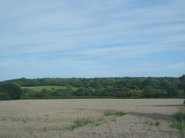
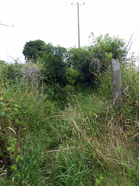
Key Copse is a picturesque woodland located in Somerset, England. Covering an area of approximately 100 acres, this forest is characterized by its lush greenery, diverse wildlife, and tranquil atmosphere. The copse is situated near the village of Keynsham, just a short distance from the bustling city of Bath.
The woodland is predominantly made up of native tree species such as oak, beech, and ash, which create a dense canopy that provides shade and shelter for the various flora and fauna that call this forest home. The forest floor is adorned with a vibrant carpet of bluebells, primroses, and ferns, adding to the natural beauty of the area.
Key Copse is a haven for wildlife enthusiasts and nature lovers alike. It is home to a diverse range of species, including squirrels, deer, badgers, and a multitude of bird species, such as woodpeckers, owls, and warblers. The forest is also a popular spot for birdwatching, with visitors often catching glimpses of rare and migratory species.
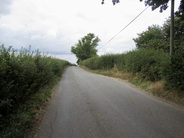
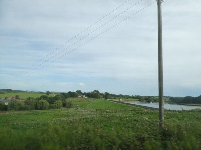
The copse offers a range of walking trails and paths, allowing visitors to explore the natural wonders of the forest at their own pace. These trails wind through the woodland, leading to hidden clearings, babbling brooks, and ancient trees that have stood for centuries.
As a designated Site of Special Scientific Interest (SSSI), Key Copse is protected by conservation regulations, ensuring the preservation of its unique ecosystem. Visitors are encouraged to respect the environment and adhere to the designated paths to minimize disturbance to the delicate flora and fauna.
Overall, Key Copse is a tranquil retreat that offers a welcome escape from the hustle and bustle of everyday life. Its natural beauty and diverse wildlife make it a must-visit destination for nature enthusiasts and those seeking a peaceful connection with the outdoors.
If you have any feedback on the listing, please let us know in the comments section below.
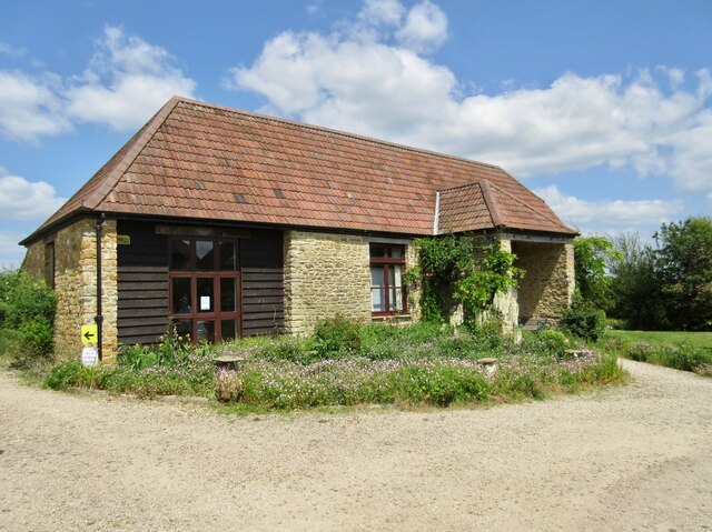
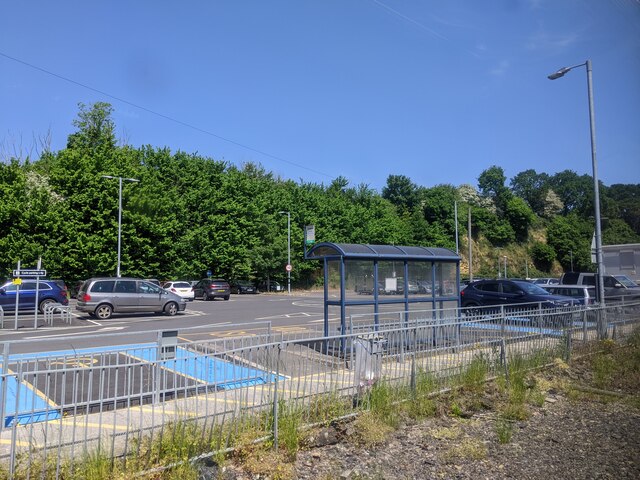
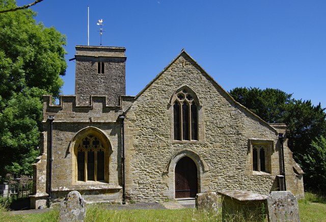
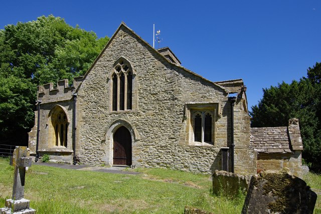
Key Copse Images
Images are sourced within 2km of 50.914383/-2.6285366 or Grid Reference ST5512. Thanks to Geograph Open Source API. All images are credited.


Key Copse is located at Grid Ref: ST5512 (Lat: 50.914383, Lng: -2.6285366)
Administrative County: Somerset
District: South Somerset
Police Authority: Avon and Somerset
What 3 Words
///sending.quilting.reject. Near Yeovil, Somerset
Related Wikis
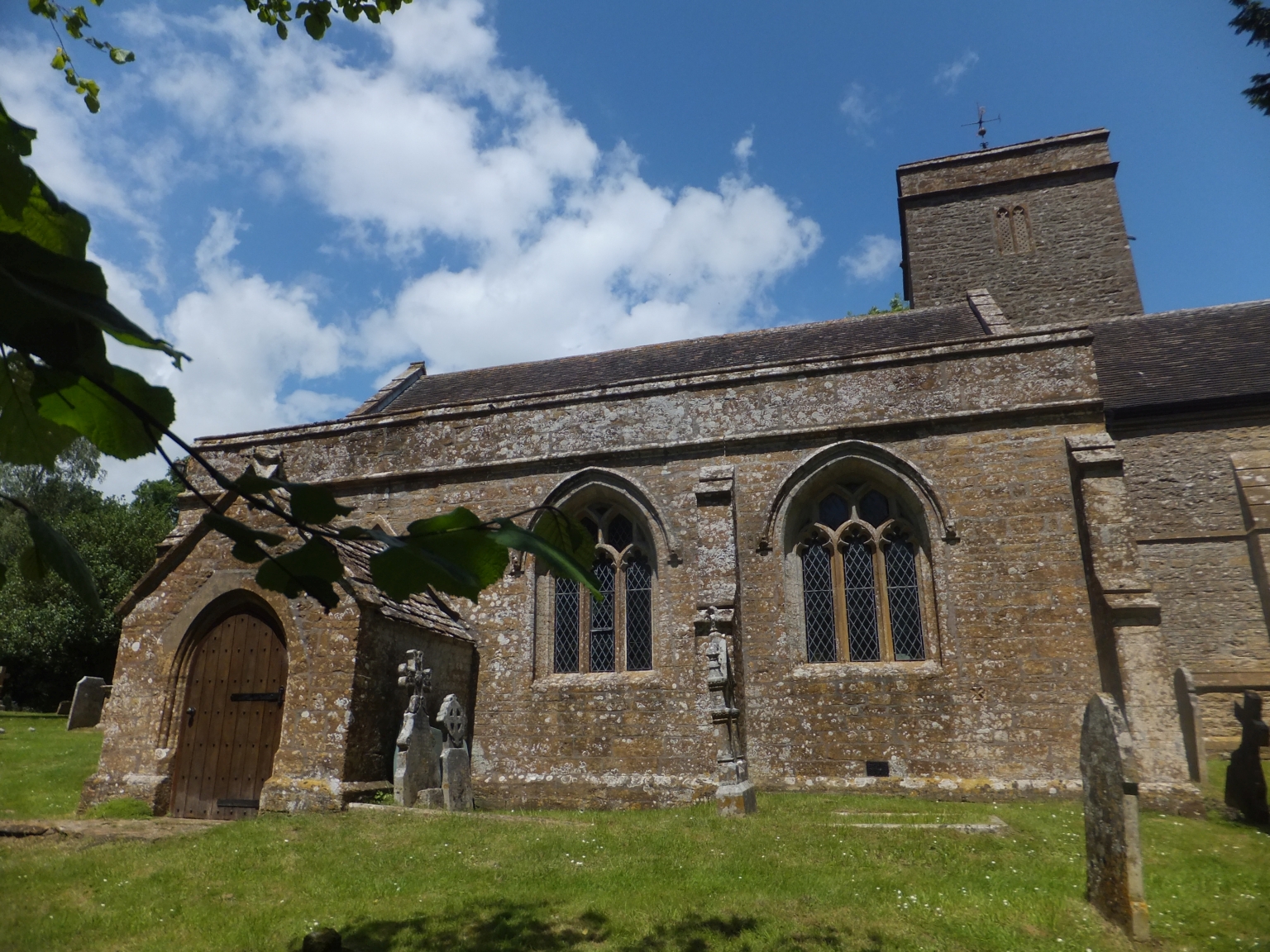
Church of St Mary Magdalene, Barwick
The Anglican Church of St Mary Magdalene in Barwick, Somerset, England was built in the 13th century. It is a Grade II* listed building. == History... ==

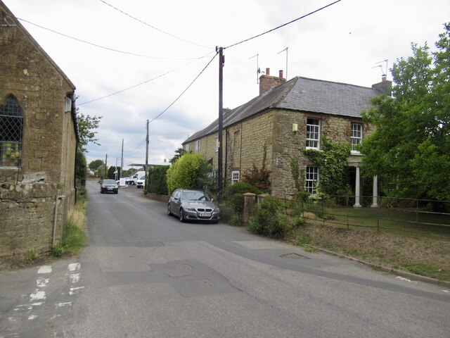
Barwick, Somerset
Barwick is a village and parish in Somerset, England, about 2 miles (3.2 km) south of Yeovil and on the border with Dorset. The parish, which includes...

East Coker
East Coker is a village and civil parish in the South Somerset district of Somerset, England. Its nearest town is Yeovil, two miles (3.2 km) to the north...

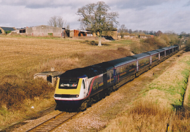
Yeovil Junction railway station
Yeovil Junction railway station is the busier, but less central, of two railway stations serving the town of Yeovil in England. The station is 2 miles...
Related Videos
Bank Holiday Vlog- The Legend of Ninesprings
Just a lovely sunny walk in Ninesprings while I talk of the legend of Ninesprings, filled with guardians, elves and a sacrifice to end ...

BANK HOLIDAY HYPE!!!
We went to a festival, only to find out that we had to book tickets online... so we decided to have our own festival while walking in ...

A trip to Dorchester near France …
We fit a clutch in a Centurion Tank. Also the hilux recovers a Landrover discovery #fyp #mechanic #tank #worldoftanks @fittermat ...

Who Are You Walking With?
Hannah continues our 365 series looking at the subject of who we are walking with. Where are we making ourselves vulnerable ...
Nearby Amenities
Located within 500m of 50.914383,-2.6285366Have you been to Key Copse?
Leave your review of Key Copse below (or comments, questions and feedback).