The Round Clump
Wood, Forest in Somerset Mendip
England
The Round Clump
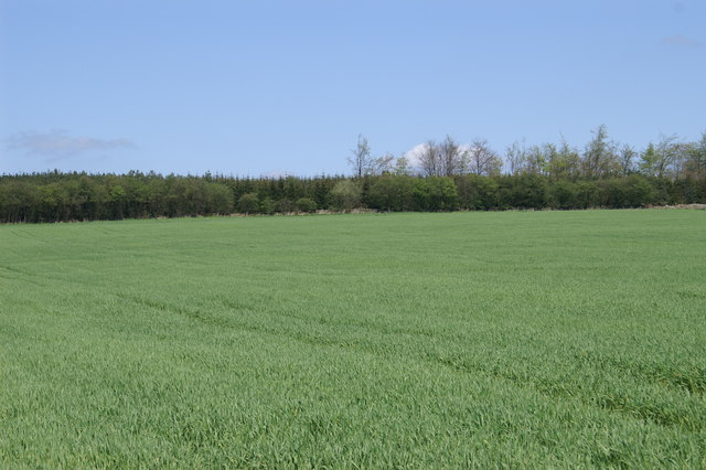
The Round Clump, located in Somerset, England, is a picturesque woodland area that is part of the wider Forest of Quantock. Spanning an area of approximately 100 acres, this ancient forest boasts a diverse range of flora and fauna, making it a popular destination for nature enthusiasts and outdoor adventurers.
The Round Clump is characterized by its dense woodland, consisting of mainly broadleaf trees such as oak, beech, and ash. These towering trees, some of which are believed to be several hundred years old, create a lush and vibrant canopy that provides a habitat for a variety of wildlife. Visitors to the forest may spot a variety of bird species, including woodpeckers, owls, and various songbirds.
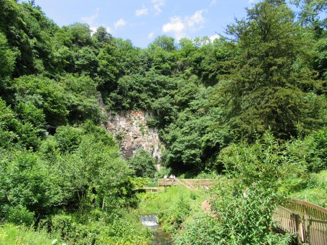
The forest floor of The Round Clump is covered in a rich carpet of ferns, mosses, and wildflowers, creating a tranquil and enchanting atmosphere. Throughout the year, the woodland is adorned with an array of colors, from the vibrant greens of spring and summer to the fiery hues of autumn.
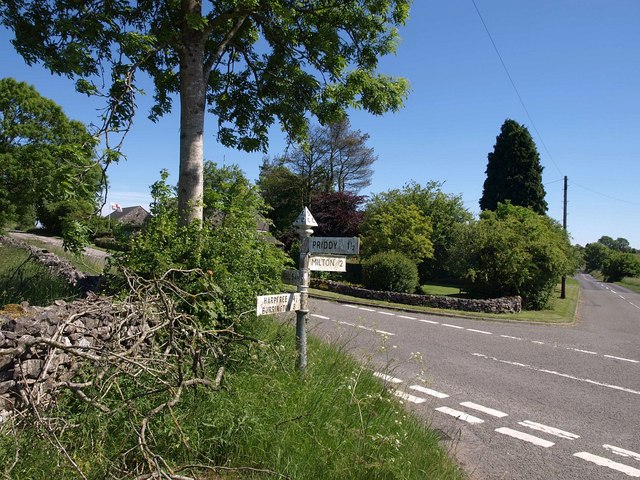
The Round Clump offers a network of walking trails that wind their way through the forest, allowing visitors to explore its hidden corners and discover its natural wonders. These pathways are well-maintained and suitable for all ages and abilities, making it an ideal location for family outings or peaceful solo walks.
In addition to its natural beauty, The Round Clump also holds historical significance. It is believed to have been a hunting ground for the Saxon kings and later served as a royal forest during the medieval period.
Overall, The Round Clump in Somerset is a captivating woodland that offers a serene escape into nature, providing a haven for wildlife and a source of natural beauty for visitors to enjoy.
If you have any feedback on the listing, please let us know in the comments section below.
The Round Clump Images
Images are sourced within 2km of 51.231933/-2.6437401 or Grid Reference ST5548. Thanks to Geograph Open Source API. All images are credited.


The Round Clump is located at Grid Ref: ST5548 (Lat: 51.231933, Lng: -2.6437401)
Administrative County: Somerset
District: Mendip
Police Authority: Avon and Somerset
What 3 Words
///renovated.zeal.fits. Near Mendip, Somerset
Nearby Locations
Related Wikis

Pen Hill
Pen Hill forms part of the Mendip Hills plateau in Somerset, England. The hill is located in St Cuthbert Out civil parish in Mendip district. The name...
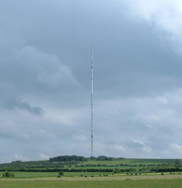
Mendip transmitting station
The Mendip transmitting station is a broadcasting and telecommunications facility on the summit of Pen Hill, part of the Mendip Hills range in Somerset...

Hunter's Hole
Hunter's Hole (or Hunters' Hole) is a cave in the Mendip Hills in Somerset, England. It is behind a pub, known as the Hunters Lodge Inn just outside Priddy...
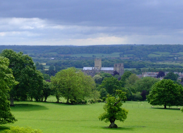
Milton Lodge
Milton Lodge is a house and garden overlooking the city of Wells in the English county of Somerset. The terraced garden, which was laid out in the early...
Drove Cottage Henge
Drove Cottage Henge (sometimes called Hunter's Lodge Henge) is a scheduled monument in the Priddy parish of Somerset, England. It is located 370 metres...
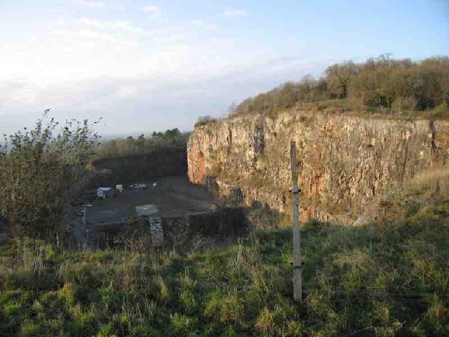
Underwood Quarry
Underwood Quarry is a former quarry near Wells, Somerset on the southern edge of the Mendip Hills that produced Carboniferous Limestone. The rock was described...

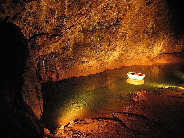
Wookey Hole Caves
Wookey Hole Caves () are a series of limestone caverns, a show cave and tourist attraction in the village of Wookey Hole on the southern edge of the Mendip...
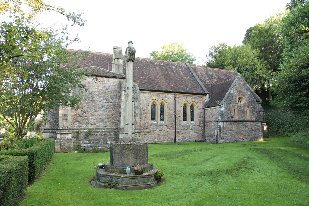
Church of St Mary Magdalene, Wookey Hole
The Church of St Mary Magdalene is a Church of England church in Wookey Hole, Somerset, England, dedicated to Jesus' companion Mary Magdalene. The church...
Nearby Amenities
Located within 500m of 51.231933,-2.6437401Have you been to The Round Clump?
Leave your review of The Round Clump below (or comments, questions and feedback).