Stancombe Coppice

Wood, Forest in Dorset

England

Stancombe Coppice

Old Milestone by the A35, Askerswell Carved stone post by the A35, in parish of ASKERSWELL (WEST DORSET District), opposite road to Askerswell, just prior to lay-by, on South side of road. Dorset 1 (limestone), erected by the Harnham, Blandford & Dorchester Turnpike Trust in the 19th century. 

Inscription reads:-
5
Bridport
Dorchester
10
Carved benchmark on bottom right of front face. 

Milestone Society National ID: DO_BPDO05.
Old Milestone by the A35, Askerswell Credit: Paul Barnett

Stancombe Coppice is a picturesque woodland located in Dorset, England. Covering an area of approximately 20 hectares, this enchanting forest is known for its diverse flora and fauna, making it a popular destination for nature lovers and outdoor enthusiasts.

The coppice is characterized by a mix of deciduous and evergreen trees, including oak, beech, and ash, which create a stunning canopy of foliage. Throughout the seasons, the woodland undergoes a vibrant transformation, with bursts of colorful flowers in spring and a rich tapestry of reds, oranges, and yellows in autumn.

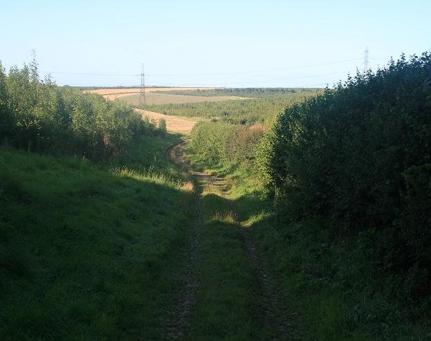
Traversing through Stancombe Coppice, visitors are greeted by a network of well-maintained footpaths, allowing for easy exploration of the area. The paths wind their way through the forest, leading to hidden clearings, babbling brooks, and a tranquil pond, providing ample opportunities for peaceful reflection and wildlife observation.

The woodland is home to a diverse array of wildlife, including deer, badgers, foxes, and a variety of bird species. Birdwatchers will delight in spotting woodpeckers, owls, and warblers among the branches. Additionally, the coppice boasts a rich insect population, with butterflies, dragonflies, and beetles flitting about.

Stancombe Coppice is not only a haven for nature enthusiasts, but also serves as an important habitat for conservation efforts. The management of the woodland focuses on sustainable practices, preserving the ecosystem and maintaining its natural beauty.

Overall, Stancombe Coppice offers a serene escape from the hustle and bustle of everyday life, providing visitors with a chance to immerse themselves in the tranquility of nature and discover the wonders of Dorset's woodlands.

If you have any feedback on the listing, please let us know in the comments section below.

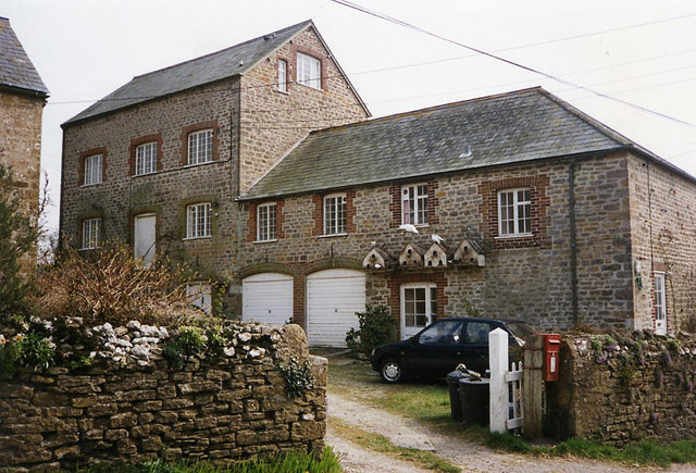
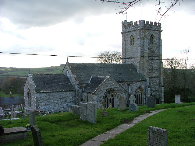
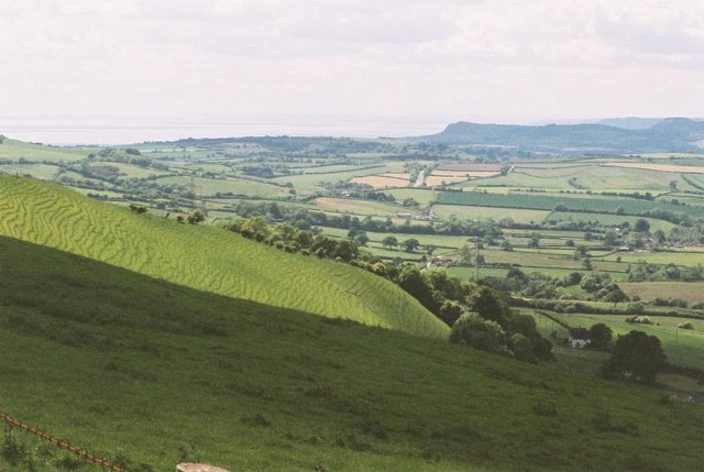
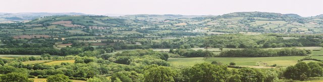
Stancombe Coppice Images

Images are sourced within 2km of 50.729135/-2.6366941 or Grid Reference SY5592. Thanks to Geograph Open Source API. All images are credited.

Old Milestone by the A35, Askerswell Carved stone post by the A35, in parish of ASKERSWELL (WEST DORSET District), opposite road to Askerswell, just prior to lay-by, on South side of road. Dorset 1 (limestone), erected by the Harnham, Blandford & Dorchester Turnpike Trust in the 19th century. 

Inscription reads:-
5
Bridport
Dorchester
10
Carved benchmark on bottom right of front face. 

Milestone Society National ID: DO_BPDO05.
Old Milestone by the A35, Askerswell
Carved stone post by the A35, in parish of ASKERSWELL (WEST DORSET District), opposite road to Askerswell, just prior to lay-by, on South side of road. Dorset 1 (limestone), erected by the Harnham, Blandford & Dorchester Turnpike Trust in the 19th century. Inscription reads:- 5 Bridport Dorchester 10 Carved benchmark on bottom right of front face. Milestone Society National ID: DO_BPDO05.
Lane to Playfield  A view along the lane (Puddle Hole) towards Redway
Lane to Playfield
A view along the lane (Puddle Hole) towards Redway
Looking east along the Roman Road at Two Gates The thick fog in this photo was coming in from the sea (to the right) and making driving on this narrow (but straight) road quite difficult. It had been sunny only a few hours earlier, which shows how quickly the weather can change on this high ground (238m above sea level). The Roman road eventually leads to Dorchester.
Looking east along the Roman Road at Two Gates
The thick fog in this photo was coming in from the sea (to the right) and making driving on this narrow (but straight) road quite difficult. It had been sunny only a few hours earlier, which shows how quickly the weather can change on this high ground (238m above sea level). The Roman road eventually leads to Dorchester.
Milestone on A35 between Bridport & Dorchester Near Askerswell
Milestone on A35 between Bridport & Dorchester
Near Askerswell
Litton Cheney: mill Now a house conversion, in 1996 the watermill retained an impressive external overshot waterwheel in working order – on the far side of the main building
Litton Cheney: mill
Now a house conversion, in 1996 the watermill retained an impressive external overshot waterwheel in working order – on the far side of the main building
St Mary's Church, Litton Cheney, Dorset
View from the A35 A view from the A35 dual carriageway, looking towards the sea in the far distance.
View from the A35
A view from the A35 dual carriageway, looking towards the sea in the far distance.
The A35 This is the busy A35 from Dorchester to Bridport, with stunning views in all directions if you can find somewhere to stop.
The A35
This is the busy A35 from Dorchester to Bridport, with stunning views in all directions if you can find somewhere to stop.
Litton Cheney (2) The view east from the Askerswell road, towards the village centre.
Litton Cheney (2)
The view east from the Askerswell road, towards the village centre.
Derelict site on Askerswell Down This site beside the A35, perched on top of Askerswell Down with fantastic views over the coast, has stood derelict for years. All that remains of the petrol station and motel which once stood here are piles of rubble and broken tarmac surfaces.
Derelict site on Askerswell Down
This site beside the A35, perched on top of Askerswell Down with fantastic views over the coast, has stood derelict for years. All that remains of the petrol station and motel which once stood here are piles of rubble and broken tarmac surfaces.
Derelict site on Askerswell Down This site is all that remains of a petrol station and motel which closed many years ago. The site is gated, (presumably to keep travellers and fly tippers off) and the eastern gate is roughly in the middle of the picture. In the far distance is The Knoll, above Swyre in square <a href="https://www.geograph.org.uk/gridref/SY5387">SY5387</a>.
Derelict site on Askerswell Down
This site is all that remains of a petrol station and motel which closed many years ago. The site is gated, (presumably to keep travellers and fly tippers off) and the eastern gate is roughly in the middle of the picture. In the far distance is The Knoll, above Swyre in square SY5387.
Eggardon Hill: lush slopes and sea view
Green view from Eggardon This is a view across south Dorset from Eggardon Hill (exact position uncertain).

Where the horizon dips about ⅓ along from the left-hand edge, Portland is just recognisable.
Green view from Eggardon
This is a view across south Dorset from Eggardon Hill (exact position uncertain). Where the horizon dips about ⅓ along from the left-hand edge, Portland is just recognisable.
Litton Cheney: parish church of St. Mary Another Dorset church with a 15th-century tower which was spared restoration in the 19th, which the rest of the building underwent.
Litton Cheney: parish church of St. Mary
Another Dorset church with a 15th-century tower which was spared restoration in the 19th, which the rest of the building underwent.
Litton Cheney viewed from Ashley Chase
Bridleway leading to North Barn Farm. Bridleway leading south from the Roman road through North Barn Farm to the A35.
Bridleway leading to North Barn Farm.
Bridleway leading south from the Roman road through North Barn Farm to the A35.
Straw bales alongside the A35 Large straw bales in a field adjacent to a dual-carriageway section of the A35.
Straw bales alongside the A35
Large straw bales in a field adjacent to a dual-carriageway section of the A35.
Dual carriageway (A35) road junction
Show me another place!

Stancombe Coppice is located at Grid Ref: SY5592 (Lat: 50.729135, Lng: -2.6366941)

Unitary Authority: Dorset

Police Authority: Dorset

What 3 Words

///deadline.sailor.scoping. Near Maiden Newton, Dorset

Nearby Locations

Stancombe Coppice

Related Wikis

Litton Cheney

Litton Cheney is a village and civil parish in the county of Dorset in south-west England. It lies 9 miles (14 km) west of the county town Dorchester....

Askerswell

Askerswell () is a small village and civil parish in the county of Dorset in southwest England. It is sited on the small River Asker. It lies 11 miles...

West Compton, Dorset

West Compton is a hamlet and civil parish in the county of Dorset, England. It lies in western Dorset, about 7 miles to the east of the town of Bridport...

Eggardon Hill

Eggardon Hill is a prehistoric hillfort on a hill in Dorset, England. It is located on chalk uplands approximately four miles to the east of the town of...

Chilcombe

Chilcombe is a hamlet and civil parish in Dorset, England, situated in the Dorset unitary authority administrative area about 4 miles (6.4 km) east of...

Long Bredy

Long Bredy is a village and civil parish in the county of Dorset in south-west England, situated approximately 7 miles (11 km) west of the county town...

Kingston Russell

Kingston Russell is a settlement and civil parish 7 miles (11 km) west of Dorchester, in the Dorset district, in the county of Dorset, England. In 2001...

Kingston Russell House

Kingston Russell House is a large mansion house and manor near Long Bredy in Dorset, England, west of Dorchester. The present house dates from the late...

Nearby Amenities

Located within 500m of 50.729135,-2.6366941
Design: barrel
Power: tower
Lat/Long: 50.7314013/-2.6405796
Design: barrel
Power: tower
Source: bing
Lat/Long: 50.7305519/-2.632969
Material: wood
Power: pole
Source: bing
Lat/Long: 50.7292466/-2.631253
Material: wood
Power: pole
Source: bing
Lat/Long: 50.7294565/-2.6327118
Material: wood
Power: pole
Source: bing
Lat/Long: 50.7297336/-2.6345795
Material: wood
Power: pole
Source: bing
Lat/Long: 50.7300041/-2.6363844
Material: wood
Power: pole
Source: bing
Lat/Long: 50.7303177/-2.6384657
Material: wood
Power: pole
Source: bing
Lat/Long: 50.7306363/-2.6405917
Material: wood
Power: pole
Source: bing
Lat/Long: 50.7309026/-2.6424031
The data included in this document is from www.openstreetmap.org. The data is made available under ODbL.

Have you been to Stancombe Coppice?

Leave your review of Stancombe Coppice below (or comments, questions and feedback).