Park Wood
Wood, Forest in Cheshire
England
Park Wood
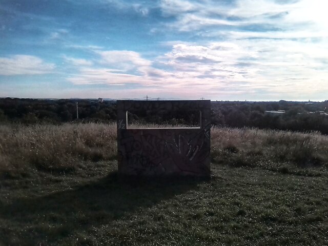
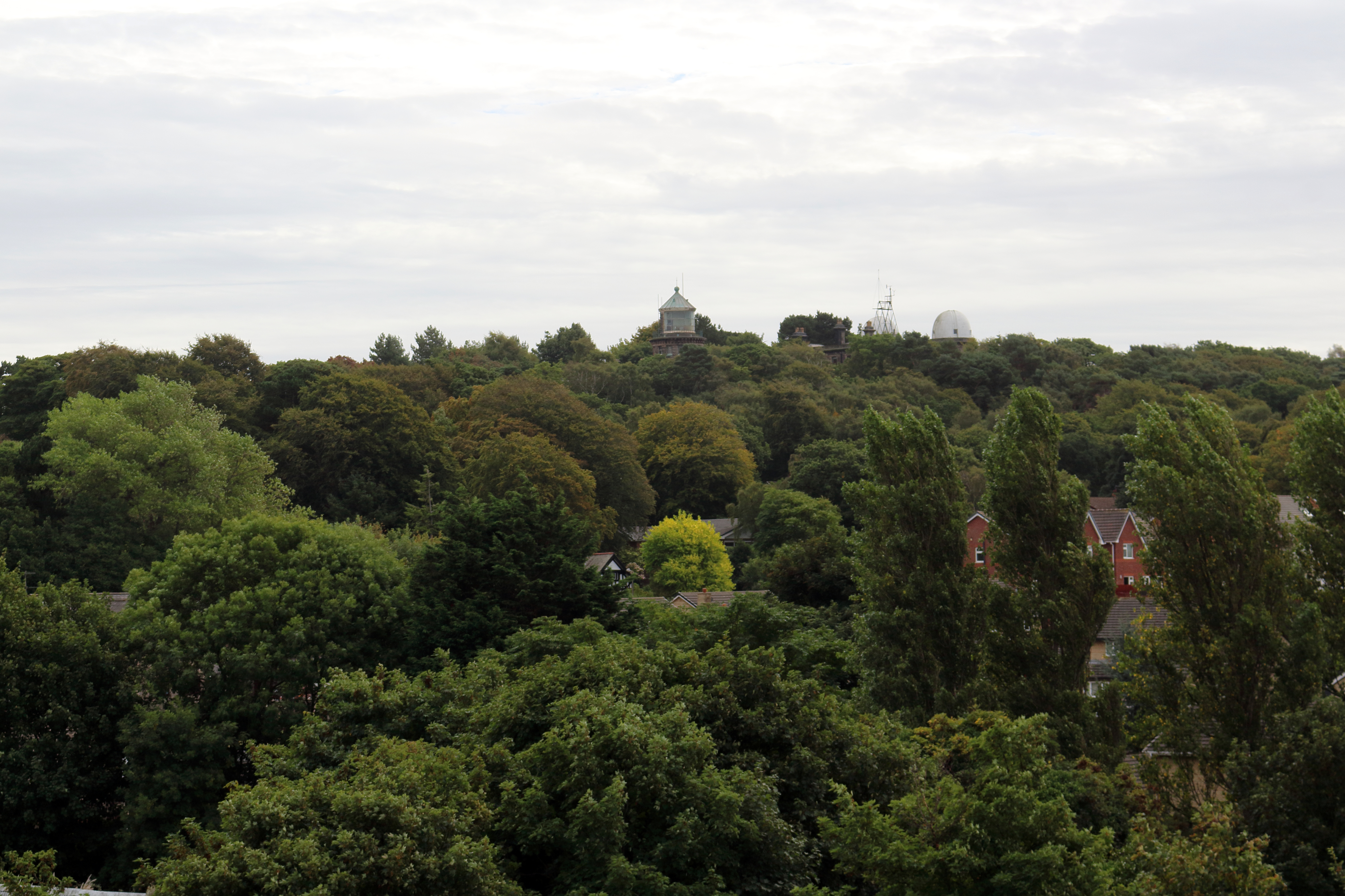
Park Wood is a charming woodland area located in the county of Cheshire, England. Nestled in the heart of the countryside, the wood is known for its picturesque beauty and serene atmosphere. Covering an area of approximately 50 acres, Park Wood is a popular destination for nature lovers, hikers, and wildlife enthusiasts.
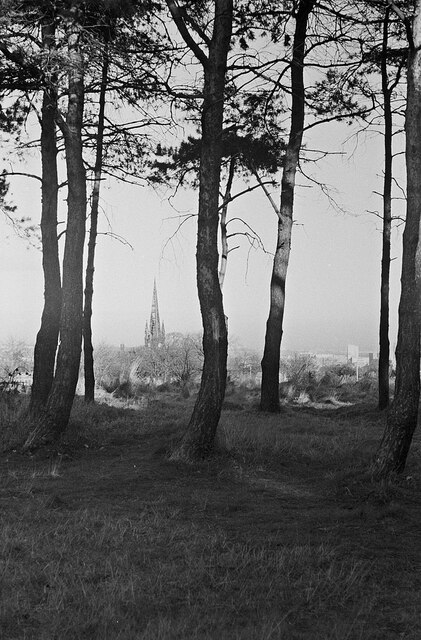
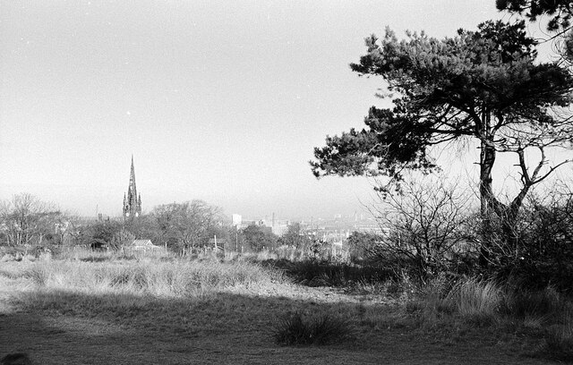
The wood is characterized by its diverse range of tree species, including oak, beech, birch, and sycamore. These towering trees create a dense canopy, providing a habitat for various woodland creatures and a haven for birdwatchers. Visitors can spot a plethora of bird species, such as woodpeckers, owls, and thrushes, as they explore the well-maintained walking trails.
The woodland is also home to a rich variety of plant life, with bluebells, primroses, and wild garlic carpeting the forest floor during springtime. The vibrant colors and sweet scents make for a truly enchanting experience. Additionally, the wood boasts a small stream that meanders through its heart, adding to its natural charm.
Park Wood is open to the public throughout the year, providing a tranquil escape from the hustle and bustle of everyday life. Whether visitors are seeking a peaceful stroll through nature, a family picnic, or a chance to observe wildlife in its natural habitat, this wood offers something for everyone.
Managed by the local council, Park Wood is well-maintained and offers ample parking facilities. It is a cherished natural gem, offering a slice of serenity and beauty for all who venture within its leafy embrace.
If you have any feedback on the listing, please let us know in the comments section below.
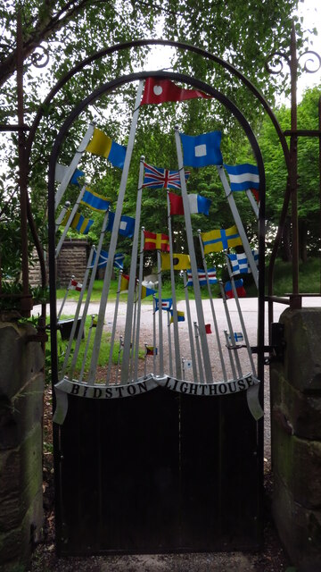
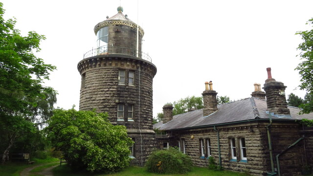
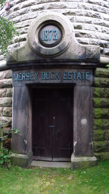
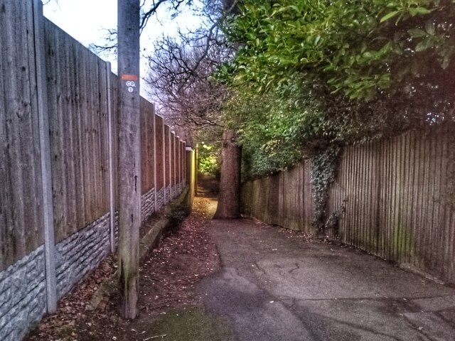
Park Wood Images
Images are sourced within 2km of 53.398387/-3.0752356 or Grid Reference SJ2889. Thanks to Geograph Open Source API. All images are credited.


Park Wood is located at Grid Ref: SJ2889 (Lat: 53.398387, Lng: -3.0752356)
Unitary Authority: Wirral
Police Authority: Merseyside
What 3 Words
///noted.golf.discouraged. Near Moreton, Merseyside
Nearby Locations
Related Wikis
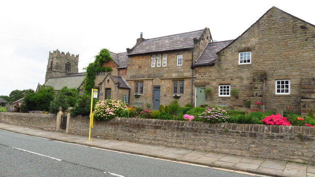
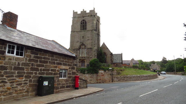
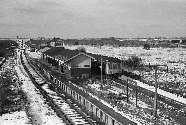
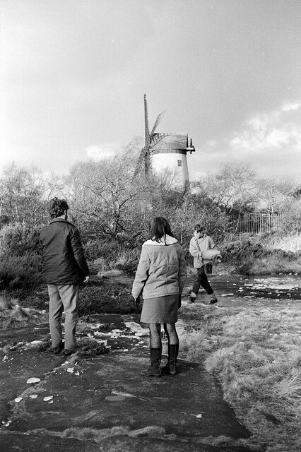
Bidston Hill
Bidston Hill is 100 acres (0.40 km2) of heathland and woodland containing historic buildings and ancient rock carvings, on the Wirral Peninsula, near the...

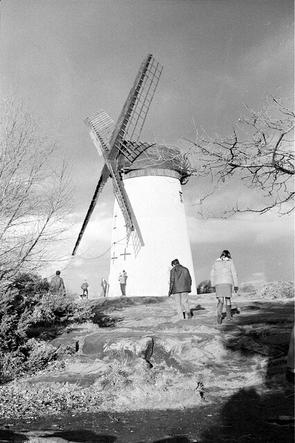
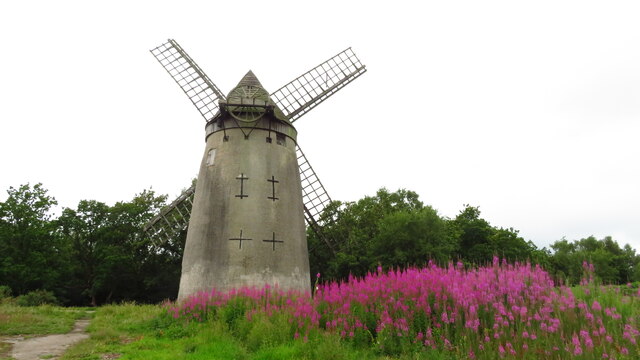
Bidston Windmill
Bidston Windmill is situated on Bidston Hill, near Birkenhead, on the Wirral Peninsula, England. == History == It is believed that there has been a windmill...

Bidston
Bidston is a village and civil parish in the Metropolitan Borough of Wirral in Merseyside, England. Administratively, it is a ward of the Metropolitan...

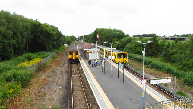
Beechwood railway station
Beechwood is a proposed railway station situated between Bidston and Upton on the Borderlands Line, to serve the Beechwood area of Birkenhead. According...
Nearby Amenities
Located within 500m of 53.398387,-3.0752356Have you been to Park Wood?
Leave your review of Park Wood below (or comments, questions and feedback).