Silver Birch Wood
Wood, Forest in Cheshire
England
Silver Birch Wood
Silver Birch Wood is a picturesque forest located in the county of Cheshire, England. Spanning over a vast area, it is known for its abundant growth of silver birch trees, which give the wood its name. The wood is a popular destination for nature enthusiasts, hikers, and birdwatchers due to its diverse flora and fauna.
The silver birch trees dominate the landscape, with their slender trunks and distinctive silver bark that shines in the sunlight. Their delicate green leaves create a beautiful canopy during the summer months, providing shade and a tranquil atmosphere for visitors. The wood is also home to a variety of other tree species, including oak, beech, and rowan, adding to its natural charm.
Within the wood, a network of well-maintained paths and trails meanders through the lush vegetation, offering visitors the opportunity to explore and appreciate the beauty of the surroundings. The forest floor is carpeted with wildflowers and ferns, providing a vibrant display of colors throughout the seasons. It is not uncommon to spot woodland creatures such as deer, rabbits, and squirrels, as well as a wide range of bird species including woodpeckers, owls, and songbirds.
Silver Birch Wood is a designated nature reserve, managed by the local authorities to preserve its ecological integrity. It offers a peaceful retreat from the hustle and bustle of everyday life, allowing visitors to connect with nature and enjoy its tranquility. Whether it is a leisurely walk, a picnic, or simply immersing oneself in the natural surroundings, Silver Birch Wood is a haven for those seeking solace in the beauty of the outdoors.
If you have any feedback on the listing, please let us know in the comments section below.
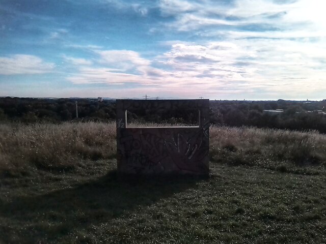
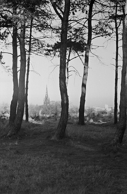
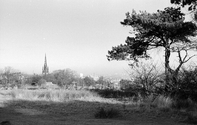
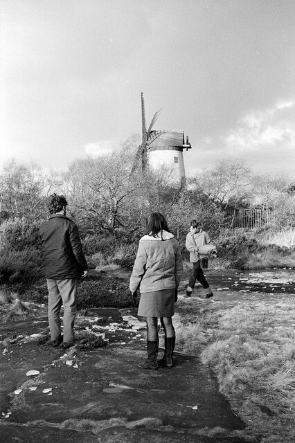
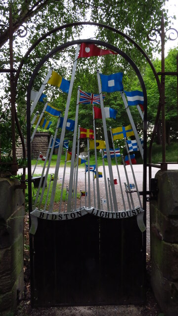
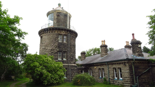
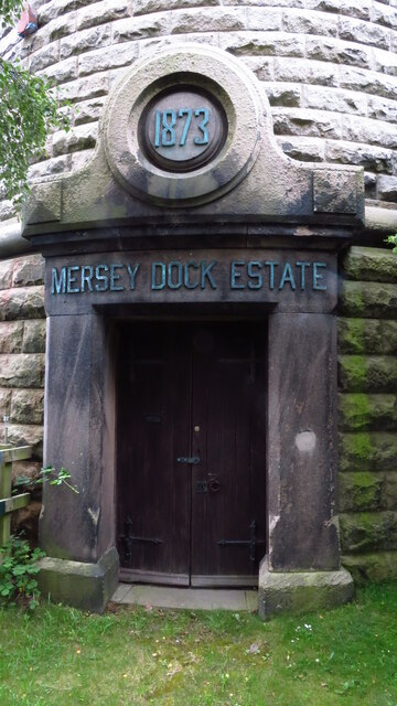
Silver Birch Wood Images
Images are sourced within 2km of 53.397638/-3.0715771 or Grid Reference SJ2889. Thanks to Geograph Open Source API. All images are credited.


Silver Birch Wood is located at Grid Ref: SJ2889 (Lat: 53.397638, Lng: -3.0715771)
Unitary Authority: Wirral
Police Authority: Merseyside
What 3 Words
///keeps.lend.stages. Near Wallasey, Merseyside
Nearby Locations
Related Wikis

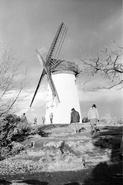
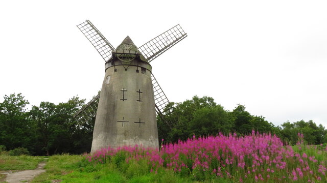
Bidston Windmill
Bidston Windmill is situated on Bidston Hill, near Birkenhead, on the Wirral Peninsula, England. == History == It is believed that there has been a windmill...
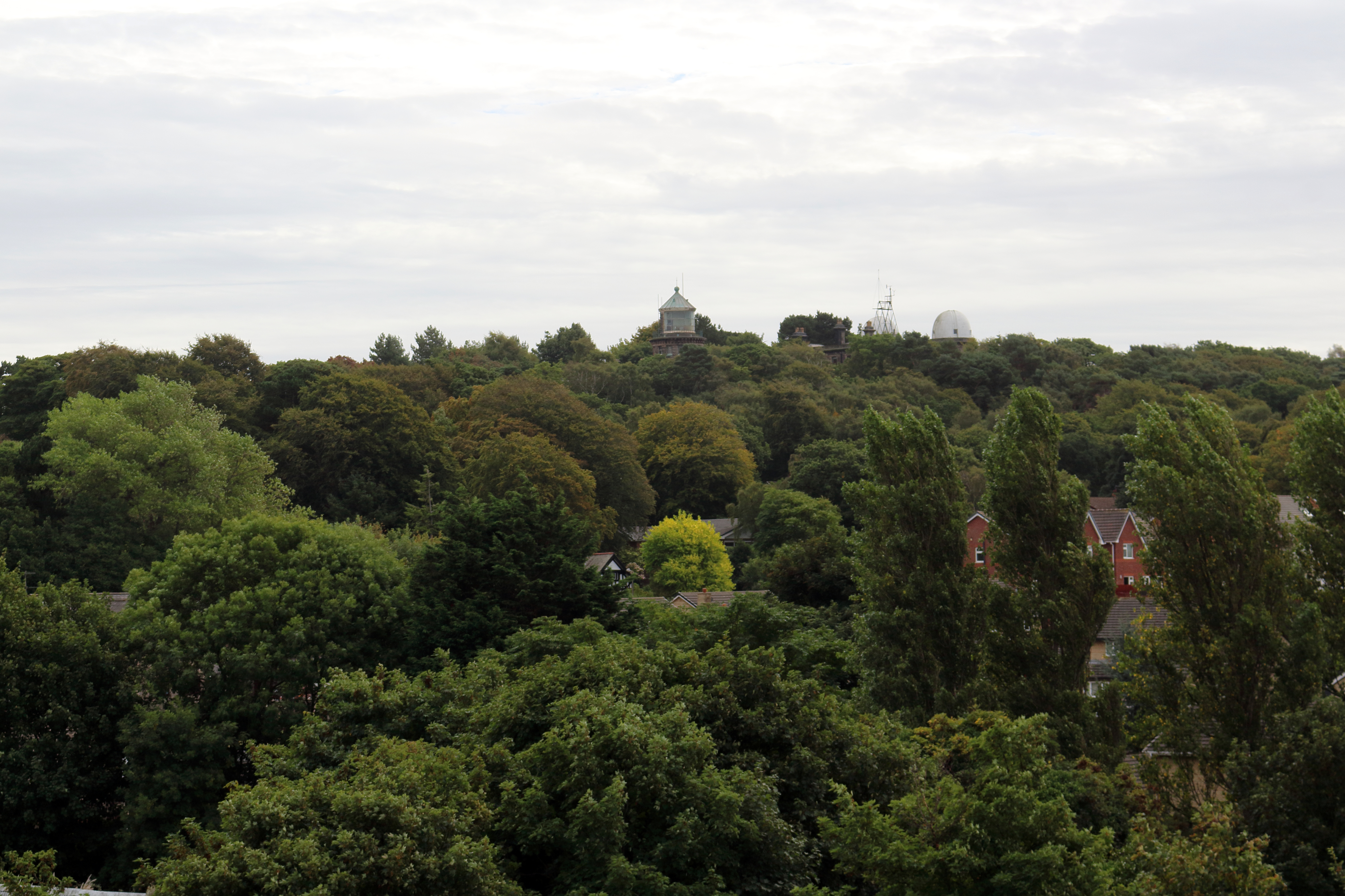
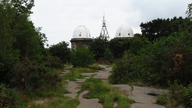
Bidston Hill
Bidston Hill is 100 acres (0.40 km2) of heathland and woodland containing historic buildings and ancient rock carvings, on the Wirral Peninsula, near the...

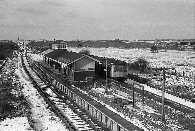
Bidston
Bidston is a village and civil parish in the Metropolitan Borough of Wirral in Merseyside, England. Administratively, it is a ward of the Metropolitan...
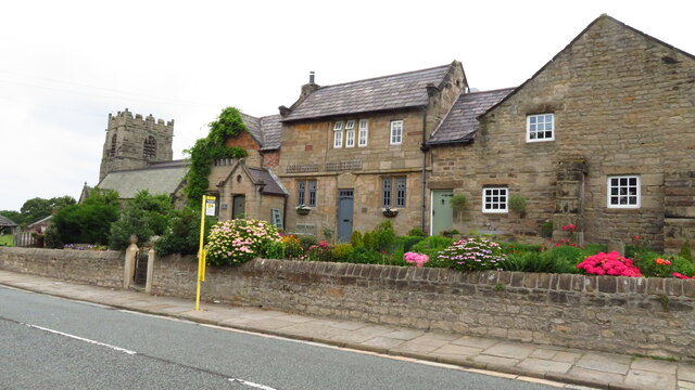
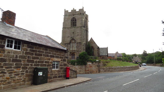
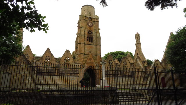
St Oswald's Church, Bidston
St Oswald's Church is in Bidston, an area of Birkenhead, Wirral, Merseyside, England. It is recorded in the National Heritage List for England as a designated...

Beechwood, Merseyside
Beechwood is a housing estate in the west of Birkenhead, on the Wirral Peninsula, in Merseyside, England. Administratively it is within the Metropolitan...

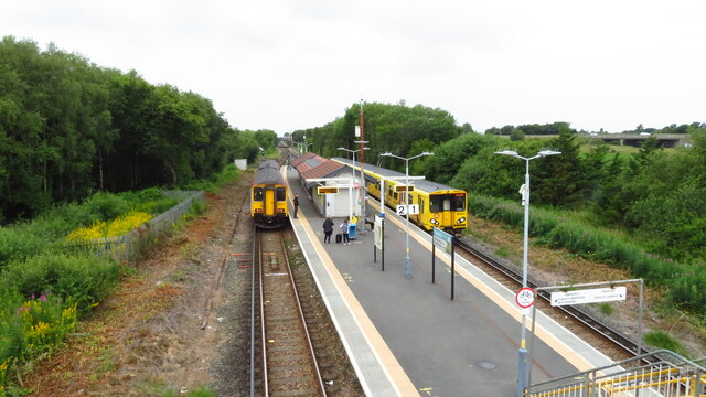
Beechwood railway station
Beechwood is a proposed railway station situated between Bidston and Upton on the Borderlands Line, to serve the Beechwood area of Birkenhead. According...
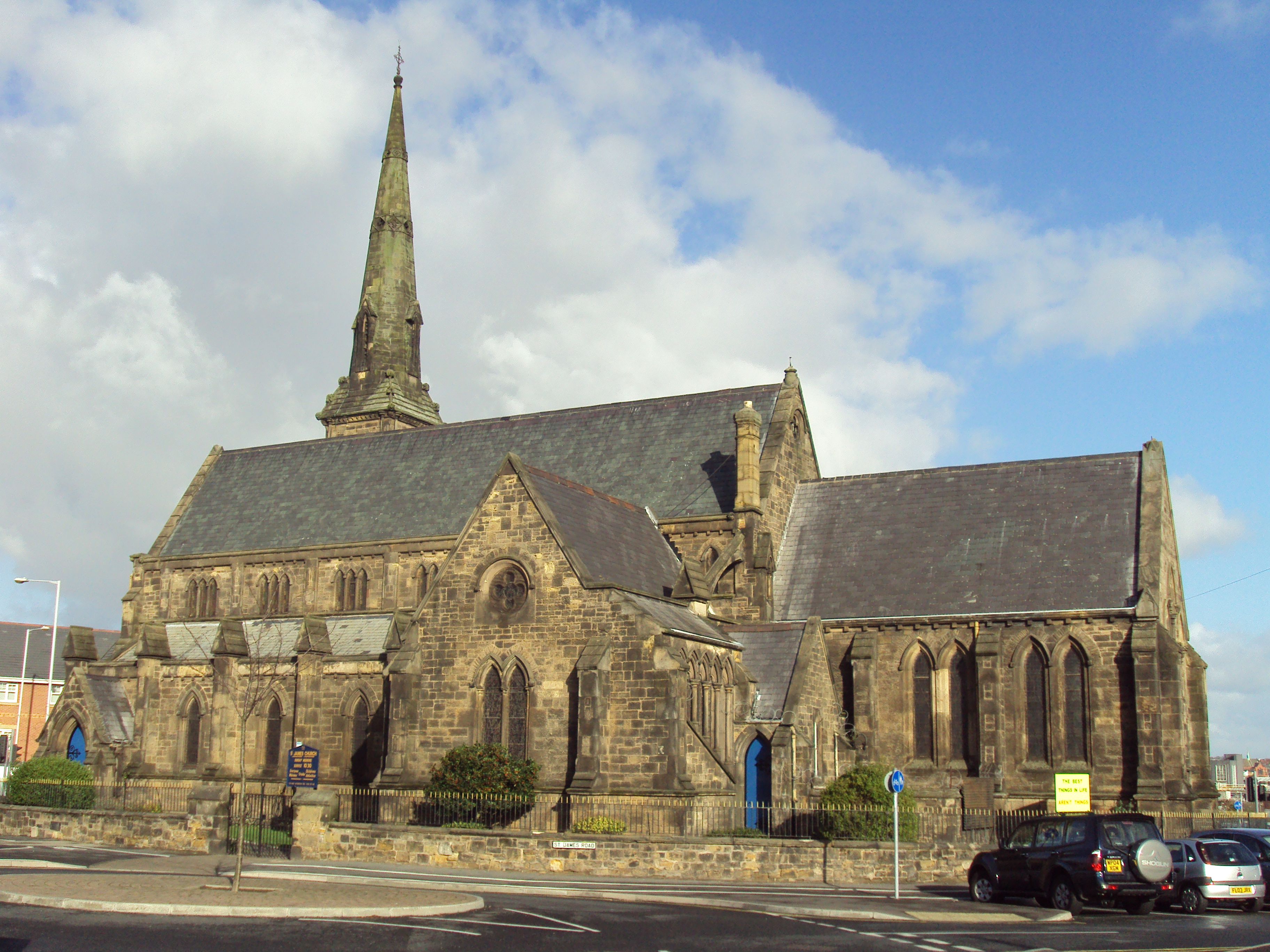
St James' Church, Birkenhead
St James' Church stands on an island site in Birkenhead, Wirral, Merseyside, England. It is an active Anglican parish church in the deanery of Birkenhead...
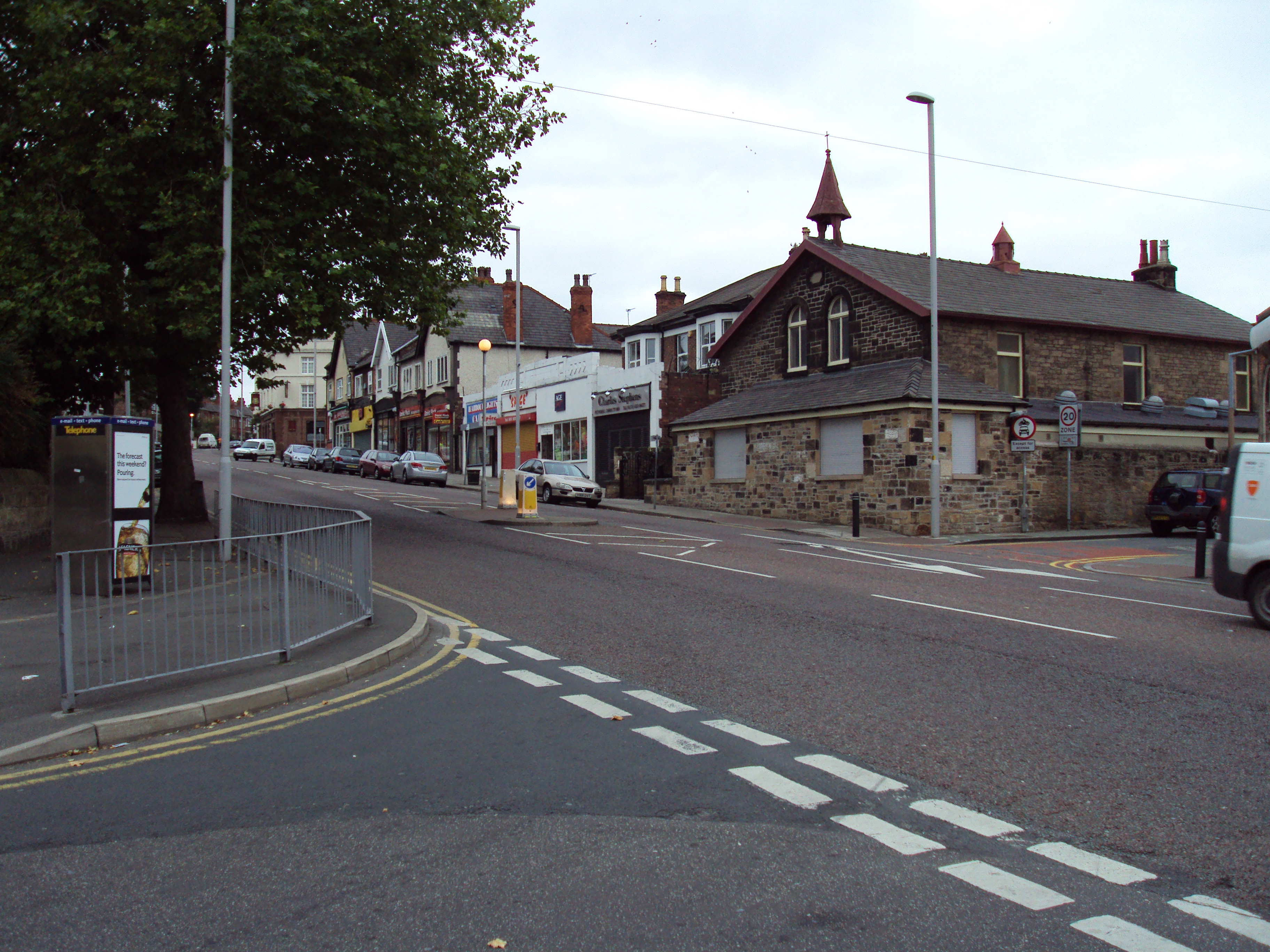
Claughton, Merseyside
Claughton ( KLAW-tən) is a village and suburb of Birkenhead, on the Wirral Peninsula, Merseyside, England. It is situated approximately 3 km (1.9 mi) to...
Nearby Amenities
Located within 500m of 53.397638,-3.0715771Have you been to Silver Birch Wood?
Leave your review of Silver Birch Wood below (or comments, questions and feedback).