Beechwood
Settlement in Cheshire
England
Beechwood
Beechwood is a small residential area located in the county of Cheshire, England. Situated just outside the town of Runcorn, Beechwood is known for its tranquil atmosphere and close-knit community.
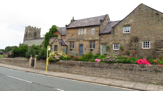
The area is primarily residential, consisting of a mix of detached and semi-detached houses, many of which are family homes. The architecture in Beechwood is diverse, ranging from modern designs to more traditional styles. The well-maintained streets are lined with trees, providing a picturesque setting for residents.
Beechwood offers a range of amenities to cater to the needs of its residents. There are local shops and convenience stores within easy reach, providing everyday essentials. The area is also home to several parks and green spaces, offering opportunities for outdoor recreation and leisure activities. Additionally, there are schools nearby, making Beechwood an ideal location for families.
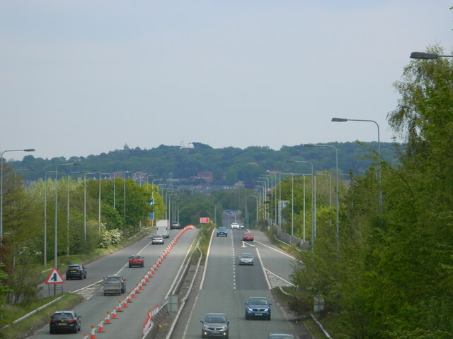
Transport links are excellent in Beechwood, with easy access to major roads and motorways, including the M56 and M62. This allows residents to easily commute to nearby towns and cities, such as Liverpool and Manchester. For those who prefer public transportation, there are regular bus services connecting Beechwood to Runcorn and other surrounding areas.
Overall, Beechwood offers a peaceful and family-friendly environment, with its well-maintained properties, community spirit, and convenient amenities. Its proximity to major transport links makes it an attractive location for those seeking a suburban lifestyle with easy access to urban centers.
If you have any feedback on the listing, please let us know in the comments section below.
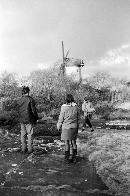
Beechwood Images
Images are sourced within 2km of 53.395914/-3.0832642 or Grid Reference SJ2889. Thanks to Geograph Open Source API. All images are credited.

Beechwood is located at Grid Ref: SJ2889 (Lat: 53.395914, Lng: -3.0832642)
Unitary Authority: Wirral
Police Authority: Merseyside
What 3 Words
///spend.sprint.golf. Near Moreton, Merseyside
Nearby Locations
Related Wikis

Beechwood, Merseyside
Beechwood is a housing estate in the west of Birkenhead, on the Wirral Peninsula, in Merseyside, England. Administratively it is within the Metropolitan...

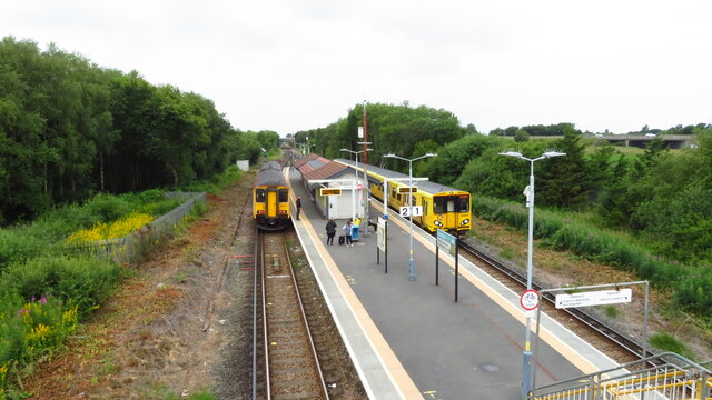
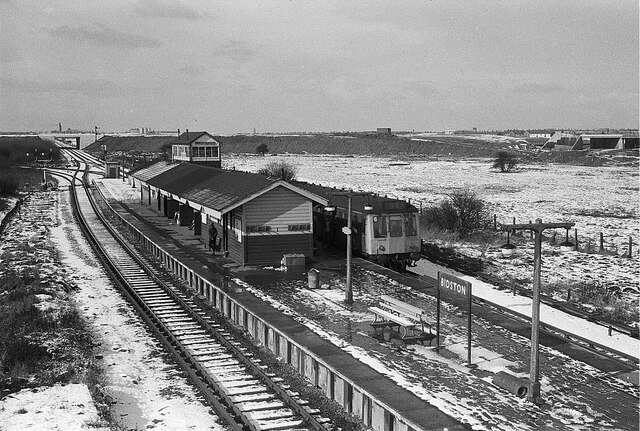
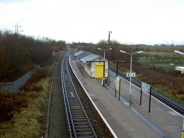
Beechwood railway station
Beechwood is a proposed railway station situated between Bidston and Upton on the Borderlands Line, to serve the Beechwood area of Birkenhead. According...
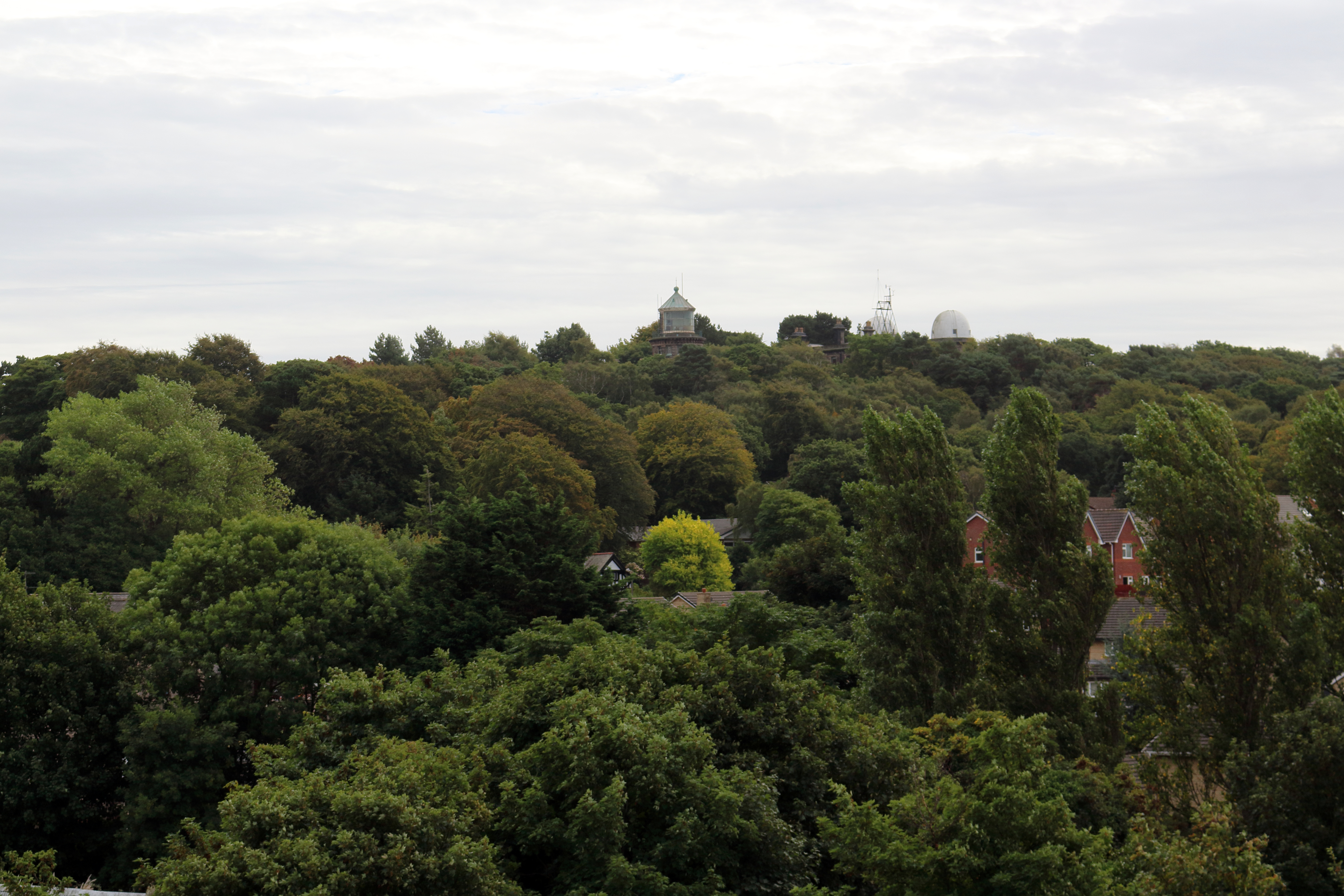
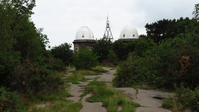
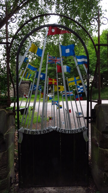
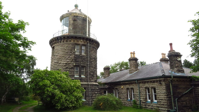
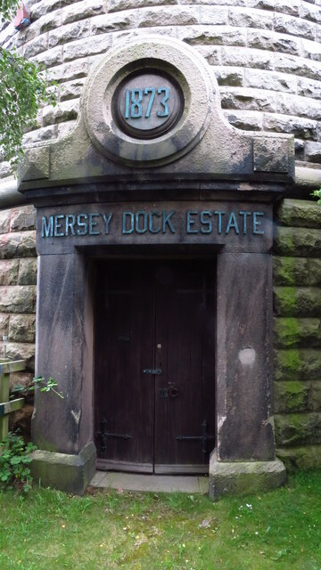
Bidston Hill
Bidston Hill is 100 acres (0.40 km2) of heathland and woodland containing historic buildings and ancient rock carvings, on the Wirral Peninsula, near the...

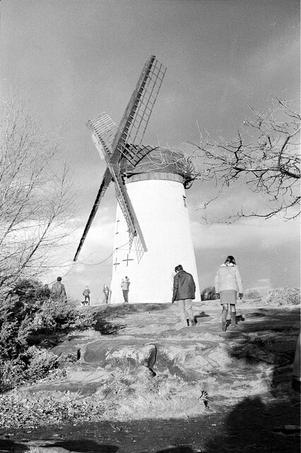
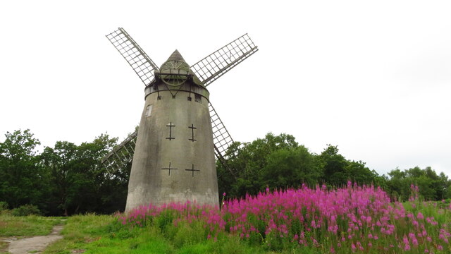
Bidston Windmill
Bidston Windmill is situated on Bidston Hill, near Birkenhead, on the Wirral Peninsula, England. == History == It is believed that there has been a windmill...

Bidston
Bidston is a village and civil parish in the Metropolitan Borough of Wirral in Merseyside, England. Administratively, it is a ward of the Metropolitan...
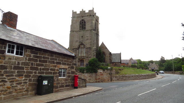
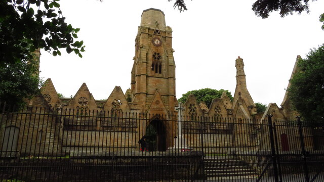
St Oswald's Church, Bidston
St Oswald's Church is in Bidston, an area of Birkenhead, Wirral, Merseyside, England. It is recorded in the National Heritage List for England as a designated...

Upton railway station
Upton railway station serves the village of Upton and the Noctorum area of Birkenhead, on the Wirral Peninsula, England. The station is situated on the...
Bidston railway station
Bidston railway station serves the village of Bidston, Merseyside, England. The station is situated at a junction of the West Kirby branch of the Wirral...
Related Videos

Evening Walk to North Wirral Coastal Park, Moreton, Wirral, U.K / #video #walking #walk #eveningwalk
Evening Walk to North Wirral Coastal Park, Moreton, Wirral, U.K / #video #walking #walk #eveningwalk #youtube #evening.

Walking Meditation For Beginners// Peaceful Forest Walk// Calm Your Mind
walkingmeditation #slowliving #breathe Hello lovely folks on here, This week's video will focus on beginning to meditate as we ...

West Kirby to Moreton, nice beaches in Wirral Coast, Merseyside, England
Merseyside Playlist: https://www.youtube.com/playlist?list=PL3rSdzPpvGrvDI-1cuUGLucFqh9l8-Gww Map Location: ...

Walk through life with minds wide open. / #shorts #eveningwalks #walk #walking #sunset #sunsets
Walk through life with minds wide open. / #shorts #eveningwalks #walk #walking #sunset #sunsets #shortsfeed #short ...
Nearby Amenities
Located within 500m of 53.395914,-3.0832642Have you been to Beechwood?
Leave your review of Beechwood below (or comments, questions and feedback).