Bidston Hill
Settlement in Cheshire
England
Bidston Hill
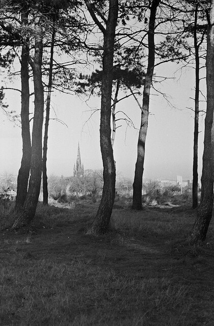
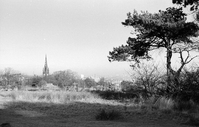
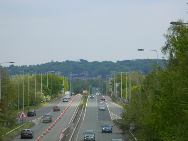
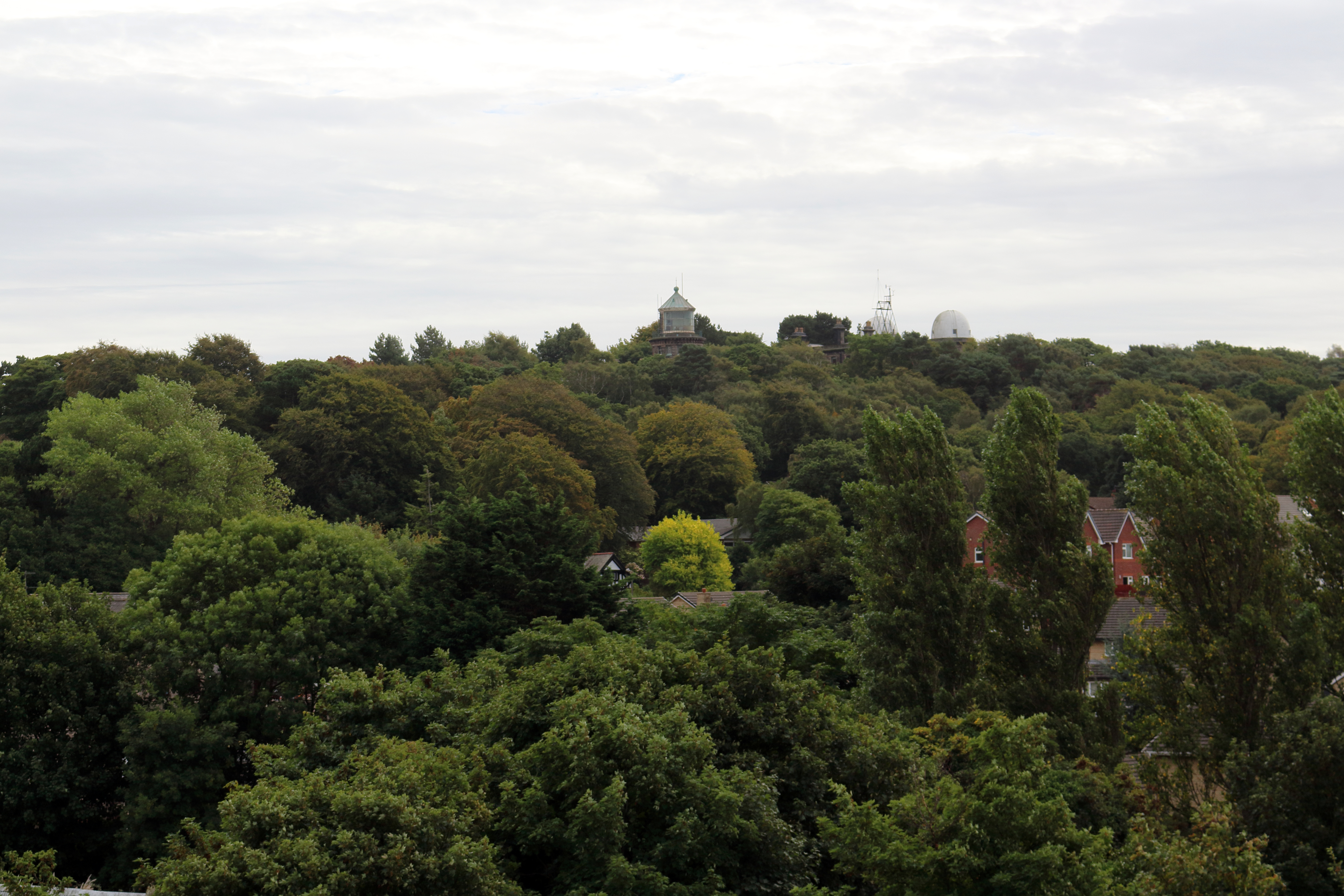
Bidston Hill is a prominent landmark located in the Metropolitan Borough of Wirral, Cheshire, England. Rising 231 feet above sea level, it offers breathtaking panoramic views of the surrounding countryside, the River Mersey, and the city of Liverpool. This historic site spans approximately 100 acres and is known for its diverse range of attractions and natural beauty.
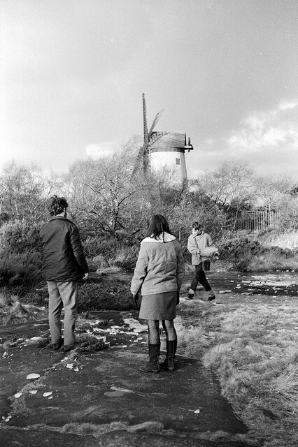
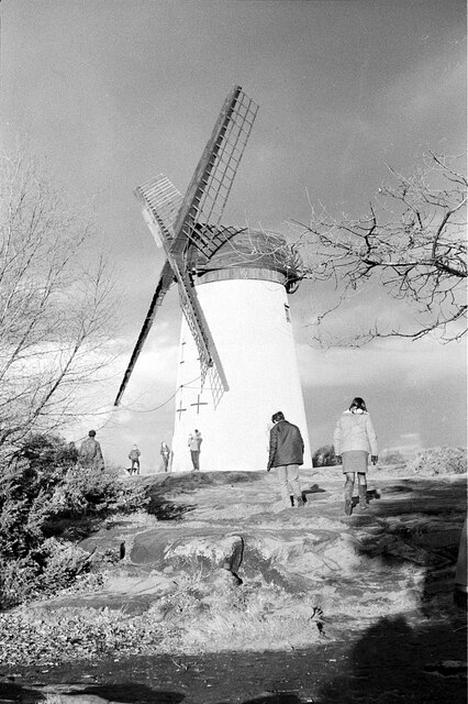
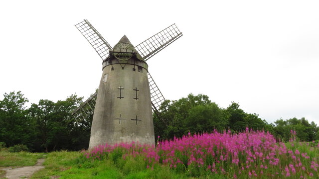
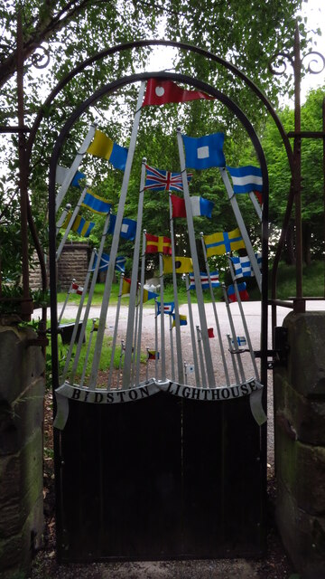
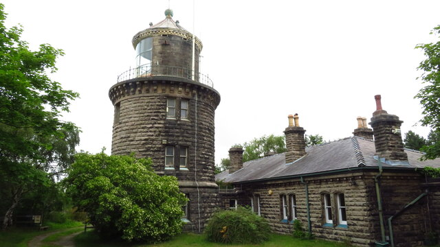
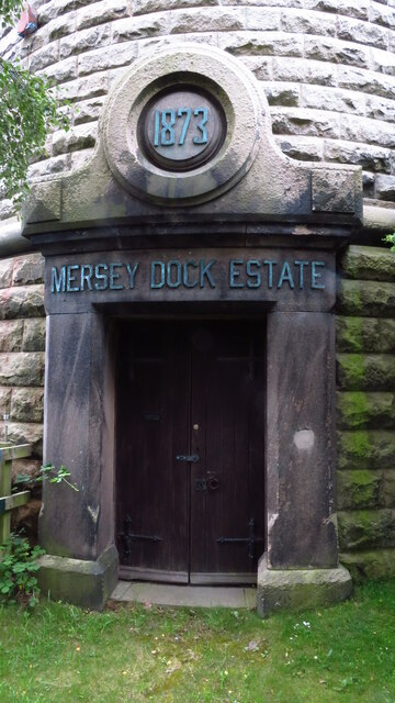
The hill is home to Bidston Windmill, a Grade II listed structure that dates back to the early 19th century. This well-preserved tower mill was used for grinding corn and features a unique octagonal shape. Visitors can explore the interior and learn about the area's milling history. Adjacent to the windmill is the Bidston Lighthouse, built in 1873, which is also open to the public. The lighthouse served as a navigation aid for ships on the Mersey and is now a museum showcasing its maritime heritage.
Nature enthusiasts will appreciate the abundant wildlife and picturesque landscapes found on Bidston Hill. The woodland areas are teeming with diverse flora and fauna, making it an ideal spot for birdwatching and nature walks. The hill is also home to several well-maintained footpaths, offering visitors the opportunity to explore the area at their own pace.
In addition to its natural wonders, Bidston Hill boasts a rich history. The site contains the remains of a medieval watchtower, believed to have been built in the 14th century. It was used to spot approaching enemies and protect the local area. Today, the ruins of the tower are a popular spot for history enthusiasts and provide a glimpse into the region's past.
Overall, Bidston Hill offers a wonderful blend of history, nature, and stunning views, making it an attractive destination for visitors of all ages.
If you have any feedback on the listing, please let us know in the comments section below.
Bidston Hill Images
Images are sourced within 2km of 53.392904/-3.0841652 or Grid Reference SJ2889. Thanks to Geograph Open Source API. All images are credited.
Bidston Hill is located at Grid Ref: SJ2889 (Lat: 53.392904, Lng: -3.0841652)
Unitary Authority: Wirral
Police Authority: Merseyside
What 3 Words
///recent.showed.worry. Near Moreton, Merseyside
Nearby Locations
Related Wikis

Beechwood, Merseyside
Beechwood is a housing estate in the west of Birkenhead, on the Wirral Peninsula, in Merseyside, England. Administratively it is within the Metropolitan...

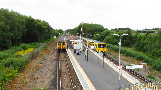
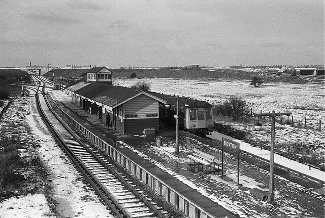
Beechwood railway station
Beechwood is a proposed railway station situated between Bidston and Upton on the Borderlands Line, to serve the Beechwood area of Birkenhead. According...
Bidston Hill
Bidston Hill is 100 acres (0.40 km2) of heathland and woodland containing historic buildings and ancient rock carvings, on the Wirral Peninsula, near the...

Upton railway station
Upton railway station serves the village of Upton and the Noctorum area of Birkenhead, on the Wirral Peninsula, England. The station is situated on the...

Bidston Windmill
Bidston Windmill is situated on Bidston Hill, near Birkenhead, on the Wirral Peninsula, England. == History == It is believed that there has been a windmill...

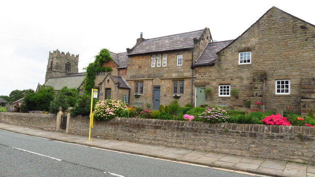
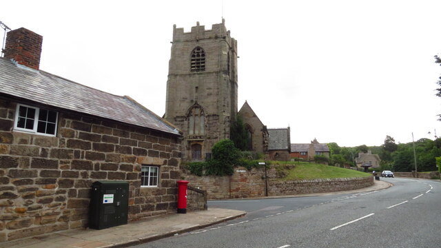
Bidston
Bidston is a village and civil parish in the Metropolitan Borough of Wirral in Merseyside, England. Administratively, it is a ward of the Metropolitan...
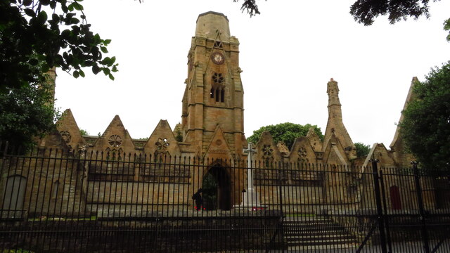
St Oswald's Church, Bidston
St Oswald's Church is in Bidston, an area of Birkenhead, Wirral, Merseyside, England. It is recorded in the National Heritage List for England as a designated...
Upton Hall, Merseyside
Upton Hall is a large manor house on the peninsula known as the Wirral, in the village of Upton in Merseyside, England (historically, the hall was in the...
Nearby Amenities
Located within 500m of 53.392904,-3.0841652Have you been to Bidston Hill?
Leave your review of Bidston Hill below (or comments, questions and feedback).