Bidston Moss

Settlement in Cheshire

England

Bidston Moss

Old cottages & church, Bidston
Old cottages & church, Bidston Credit: Colin Park

Bidston Moss is a small area located in Cheshire, England. It is situated approximately 3 miles northwest of Birkenhead and forms part of the wider Wirral Peninsula. Known for its unique landscape and diverse wildlife, Bidston Moss covers an area of around 50 hectares.

The Moss is a mixture of marshland, grassland, and scrub, providing a habitat for a variety of plant and animal species. It is particularly renowned for its bird population, with several species of waders and waterfowl calling it their home throughout the year. The area is also home to many rare and endangered species, including the great crested newt.

Historically, Bidston Moss was an important site for peat extraction, which was used as fuel during the Industrial Revolution. The peat extraction industry has since declined, and the Moss has been reclaimed as a nature reserve. Today, it is managed by the Cheshire Wildlife Trust, which works to protect and enhance the area's natural features.

Bidston Moss is a popular destination for nature enthusiasts and birdwatchers, offering a peaceful retreat from the nearby urban areas. The site is accessible via footpaths and is well-equipped with observation points and information boards. It also forms part of the larger Bidston Hill, an area that boasts scenic views of the Wirral, Liverpool, and North Wales.

If you have any feedback on the listing, please let us know in the comments section below.
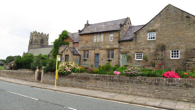
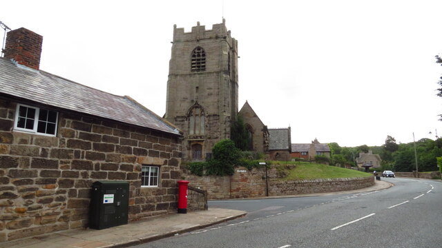
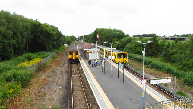
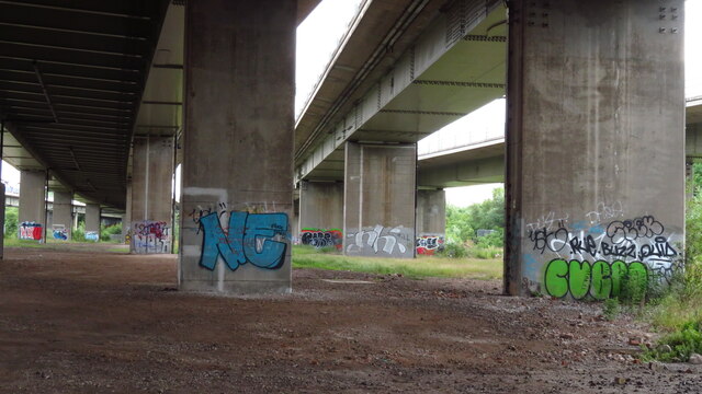
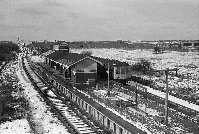
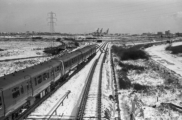
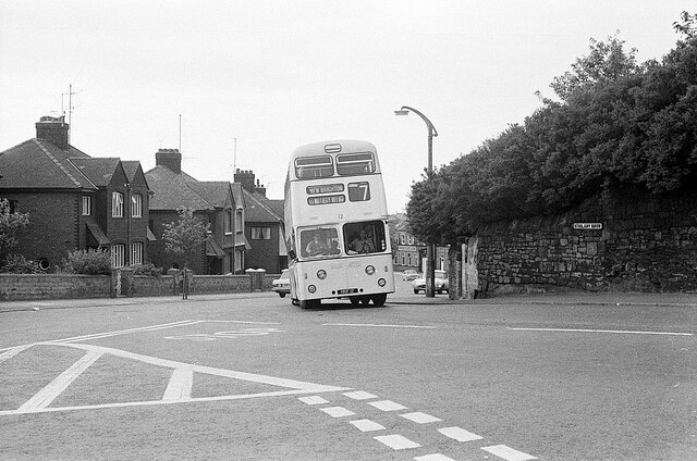
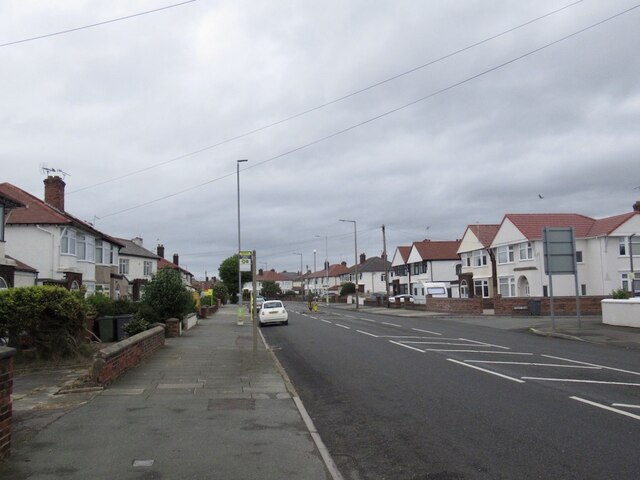
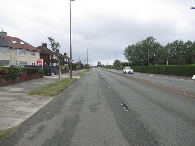
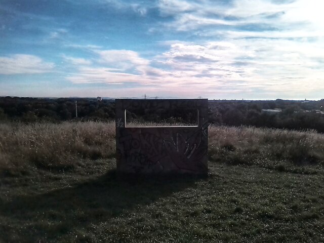
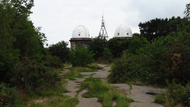
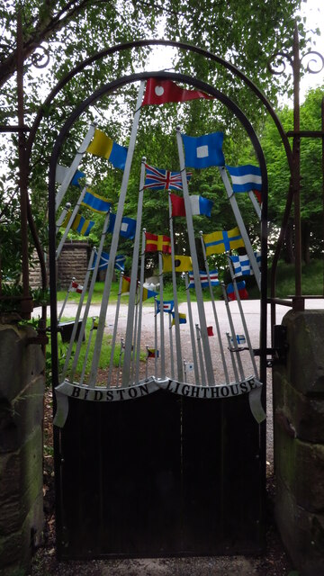
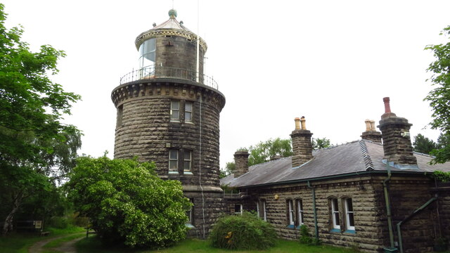
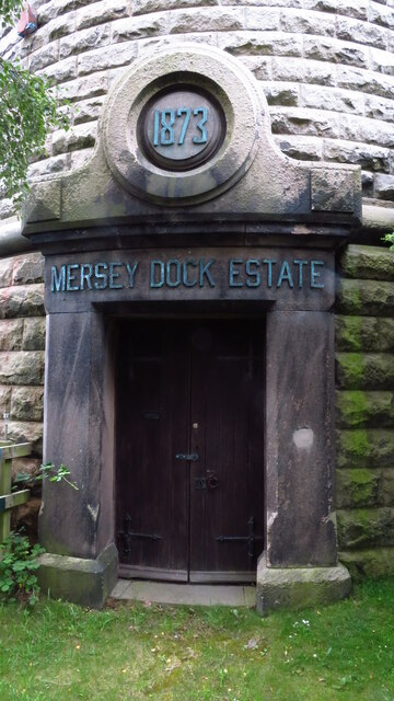
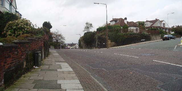
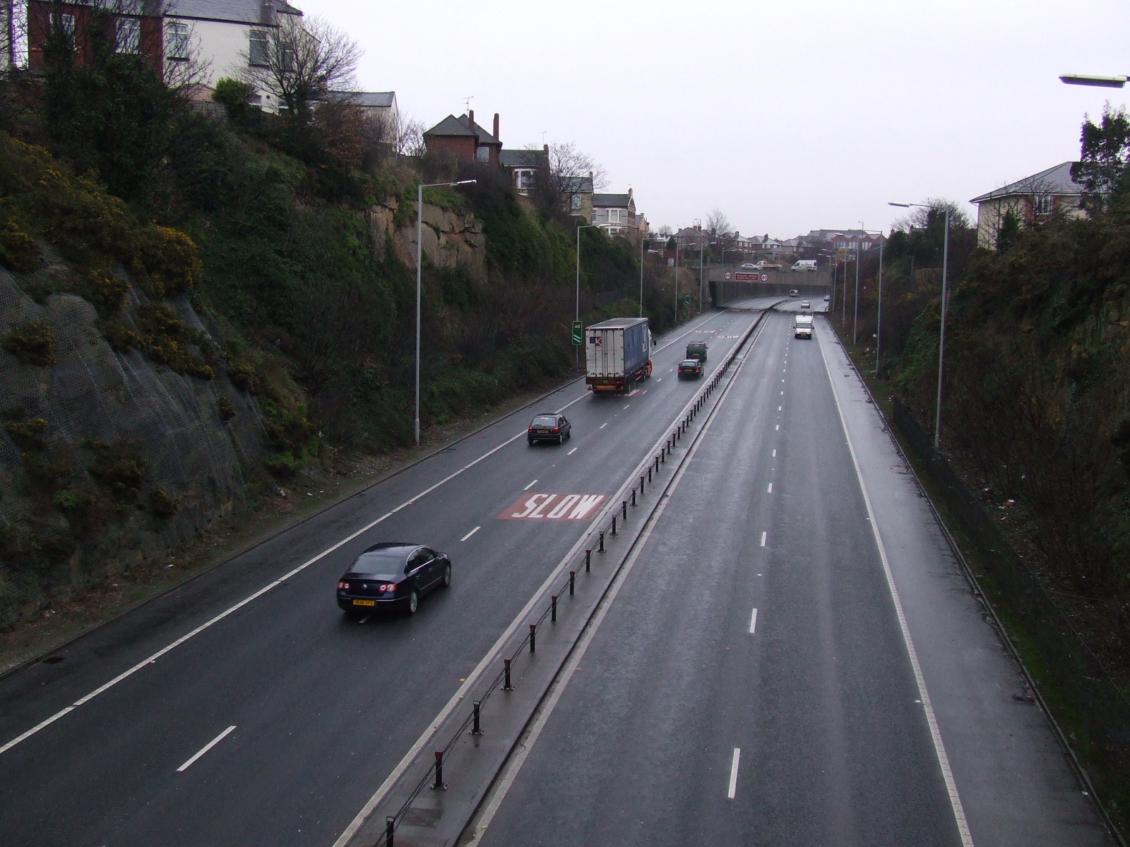
Bidston Moss Images

Images are sourced within 2km of 53.415658/-3.062053 or Grid Reference SJ2991. Thanks to Geograph Open Source API. All images are credited.

Old cottages & church, Bidston
St Oswald's Church, Bidston
Trains at Bidston Station
Graffiti Gallery - underneath Junction 1 M53
A snowy Bidston Station – 1970 Looking west from the footbridge which was the only access to the station itself. On the far platform is a diesel multiple unit on the service to New Brighton from Wrexham. In the distance the M53 is under construction.

50 years on <a title="https://www.geograph.org.uk/photo/7020188" href="https://www.geograph.org.uk/photo/7020188">Link</a> the station is little changed, but there has been substantial tree growth, so typical of the current railway system.
A snowy Bidston Station – 1970
Looking west from the footbridge which was the only access to the station itself. On the far platform is a diesel multiple unit on the service to New Brighton from Wrexham. In the distance the M53 is under construction. 50 years on Link the station is little changed, but there has been substantial tree growth, so typical of the current railway system.
Heading east from Bidston Station – 1970 The scene has changed significantly in 50 years since this view was taken, as seen here <a title="https://www.geograph.org.uk/photo/6195108" href="https://www.geograph.org.uk/photo/6195108">Link</a> . There is no sign of the new road linking to the M53 from Hoylake Road, the full junction to New Brighton – still at that time used by the diesel service from Wrexham – is still in place, as are the distant container gantries at Bidston Dock. The snow covered track to the right is the trackbed of the former freight lines out of Birkenhead Docks used principally by the heavy iron ore trains to the John Summers ironworks at Shotton. As always, there is far more tree growth in 2021 compared with this view.

The train is a typical 6-car formation of two 1956-built Class 503 units heading for Liverpool Central (Low Level).
Heading east from Bidston Station – 1970
The scene has changed significantly in 50 years since this view was taken, as seen here Link . There is no sign of the new road linking to the M53 from Hoylake Road, the full junction to New Brighton – still at that time used by the diesel service from Wrexham – is still in place, as are the distant container gantries at Bidston Dock. The snow covered track to the right is the trackbed of the former freight lines out of Birkenhead Docks used principally by the heavy iron ore trains to the John Summers ironworks at Shotton. As always, there is far more tree growth in 2021 compared with this view. The train is a typical 6-car formation of two 1956-built Class 503 units heading for Liverpool Central (Low Level).
Leaning into St Hilary Brow – 1970 Wallasey Corporation bus 12 was one of the first production batch of Leyland Atlanteans, built in 1958.

This is one of a series of views featuring buses in the 60s, 70s, and 80s. <a title="https://www.geograph.org.uk/search.php?i=137652761" href="https://www.geograph.org.uk/search.php?i=137652761">Link</a>
Leaning into St Hilary Brow – 1970
Wallasey Corporation bus 12 was one of the first production batch of Leyland Atlanteans, built in 1958. This is one of a series of views featuring buses in the 60s, 70s, and 80s. Link
Bayswater Road, Wallasey
Leasowe Road
Leasowe Road
Best picnic spot on Bidston Moss Best bench and viewpoint on Bidston Moss.
Llandudno and the Carneddau in the frame.
Best picnic spot on Bidston Moss
Best bench and viewpoint on Bidston Moss. Llandudno and the Carneddau in the frame.
Bidston Observatory, Bidston Hill
Side gate at Bidston Lighthouse
Bidston Lighthouse Britain's most inland lighthouse.
Bidston Lighthouse
Britain's most inland lighthouse.
Bidston Lighthouse - main door
St Hilarys This is the Parish Church of Wallasey in the Church of England Diocese of Chester. It has always been 'black' ever since I can recall.
St Hilarys
This is the Parish Church of Wallasey in the Church of England Diocese of Chester. It has always been 'black' ever since I can recall.
Towards Wallasey Village Down the hill is Wallasey Village and to the right is Claremont Road with St Hilary's Church.
Towards Wallasey Village
Down the hill is Wallasey Village and to the right is Claremont Road with St Hilary's Church.
Wallasey Golf Links A links course with plenty of dunes in which to lose your ball
Wallasey Golf Links
A links course with plenty of dunes in which to lose your ball
Crop Yield Market Gardening at Wallasey, almost the northern extremity of the Wirral.
Crop Yield
Market Gardening at Wallasey, almost the northern extremity of the Wirral.
Show me another place!

Bidston Moss is located at Grid Ref: SJ2991 (Lat: 53.415658, Lng: -3.062053)

Unitary Authority: Wirral

Police Authority: Merseyside

What 3 Words

///economies.crowd.recent. Near Wallasey, Merseyside

Nearby Locations

Bidston Moss

Related Wikis

Weatherhead High School

Weatherhead High School is a single sex girls' academy school with mixed Sixth Form, located in Merseyside, England in the Metropolitan Borough of Wirral...

The Mosslands School

The Mosslands School is a comprehensive, community school for boys aged 11–18. It is situated in Wallasey Village, Wirral, England. It is a STEAM Centre...

Bidston Dock

Bidston Dock was a dock at Birkenhead, in England. It was situated to the west of the Great Float, between Bidston and Poulton. == History == A proposal...

St Hilary's Church, Wallasey

St Hilary's Church is in the town of Wallasey, Wirral, Merseyside, England. It consists of a church built in 1858–59 and the separate tower of a former...

Liscard and Poulton railway station

Liscard and Poulton railway station was located in Wallasey, Wirral, Cheshire and was an intermediate station on the Seacombe branch of the Wirral Railway...

Ashville F.C.

Ashville Football Club is a football club based in Wallasey, England. They are currently members of the North West Counties League Division One South and...

Wallasey (UK Parliament constituency)

Wallasey is a constituency in Merseyside created in 1918 and represented in the House of Commons of the UK Parliament since 1992 by Angela Eagle, a member...

Wallasey Village

Wallasey Village is a district and suburb of Wallasey, in the Metropolitan Borough of Wirral, England. At the 2001 Census the population of the area was...

Nearby Amenities

Located within 500m of 53.415658,-3.062053
Motorway Junction
Lat/Long: 53.4158704/-3.0635176
Turning Circle
Lat/Long: 53.4196994/-3.063011
Turning Circle
Lat/Long: 53.4184437/-3.0632593
Turning Circle
Lat/Long: 53.4181023/-3.0626423
Turning Circle
Lat/Long: 53.4183029/-3.0612052
Turning Circle
Lat/Long: 53.4176136/-3.0607775
Bus Stop
BRECK ROAD/HILLSIDE RD
Bus: yes
Naptan AtcoCode: 2800S21020A
Naptan Bearing: N
Naptan CommonName: BRECK ROAD/HILLSIDE RD
Naptan Indicator: BRECK ROAD/ST HILARY'S BROW
Naptan Landmark: BETWEEN 213/215
Naptan NaptanCode: meramdwj
Naptan Notes: No Notes
Naptan ShortCommonName: St Hilary's Br
Naptan Street: BRECK ROAD
Naptan Verified: no
Public Transport: platform
Source: naptan_import
Lat/Long: 53.4185346/-3.0602392
Bus Stop
BRECK ROAD/ST HILARY'S BROW
Bus: yes
Naptan AtcoCode: 2800S21020B
Naptan Bearing: S
Naptan CommonName: BRECK ROAD/ST HILARY'S BROW
Naptan Indicator: BRECK ROAD/ST HILARY'S BROW
Naptan Landmark: OPP 207
Naptan NaptanCode: meramdwm
Naptan Notes: No Notes
Naptan ShortCommonName: St Hilarys Br
Naptan Street: BRECK ROAD
Naptan Verified: no
Public Transport: platform
Source: naptan_import
Lat/Long: 53.4183507/-3.0599799
Bus Stop
ST HILARY'S BROW/BRECK ROAD
Bus: yes
Naptan AtcoCode: 2800S21020C
Naptan Bearing: W
Naptan CommonName: ST HILARY'S BROW/BRECK ROAD
Naptan Indicator: ST HILARY'S BROW/BRECK ROAD
Naptan Landmark: O/S CHURCH NR CORNER MILLTHWAITE ROAD
Naptan NaptanCode: meramdwp
Naptan Notes: No Notes
Naptan ShortCommonName: St Hilarys Br
Naptan Street: ST HILARY'S BROW
Naptan Verified: no
Public Transport: platform
Source: naptan_import
Lat/Long: 53.4196211/-3.0593634
Bus Stop
BRECK ROAD/CLIFF ROAD
Bus: yes
Naptan AtcoCode: 2800S21021A
Naptan Bearing: NW
Naptan CommonName: BRECK ROAD/CLIFF ROAD
Naptan Indicator: BRECK ROAD
Naptan Landmark: NR FOX HEY RD OPP CLIFF RD OPP 122
Naptan NaptanCode: meramdwt
Naptan Notes: No Notes
Naptan ShortCommonName: Breck Rd/Cliff Rd
Naptan Street: BRECK ROAD
Naptan Verified: no
Public Transport: platform
Source: naptan_import
Lat/Long: 53.4156983/-3.0577311
Bus Stop
BRECK ROAD/CLIFF ROAD
Bus: yes
Naptan AtcoCode: 2800S21021B
Naptan Bearing: SE
Naptan CommonName: BRECK ROAD/CLIFF ROAD
Naptan Indicator: BRECK ROAD
Naptan Landmark: CORNER CLIFF ROAD OPP 127
Naptan NaptanCode: meramgad
Naptan Notes: No Notes
Naptan ShortCommonName: Breck Rd/Cliff Rd
Naptan Street: BRECK ROAD
Naptan Verified: no
Public Transport: platform
Source: naptan_import
Lat/Long: 53.4159669/-3.0578582
Bus Stop
MOSSLANDS DRIVE/WESTBOURNE ROAD
Bus: yes
Naptan AtcoCode: 2800S21068A
Naptan Bearing: SE
Naptan CommonName: MOSSLANDS DRIVE/WESTBOURNE ROAD
Naptan Indicator: MOSSLANDS DRIVE
Naptan Landmark: O/S 188 OPP WESTBOURNE CLOSE
Naptan NaptanCode: merampag
Naptan Notes: No Notes
Naptan ShortCommonName: Westbourne Rd
Naptan Street: MOSSLANDS DRIVE
Naptan Verified: no
Public Transport: platform
Source: naptan_import
Lat/Long: 53.4165729/-3.0614844
Bus Stop
MOSSLANDS DRIVE/WESTBOURNE ROAD
Bus: yes
Naptan AtcoCode: 2800S21068B
Naptan Bearing: SE
Naptan CommonName: MOSSLANDS DRIVE/WESTBOURNE ROAD
Naptan Indicator: MOSSLANDS DRIVE
Naptan Landmark: OPP 194 CORNER WESTBOURNE ROAD
Naptan NaptanCode: mergjwjt
Naptan Notes: No Notes
Naptan ShortCommonName: Mosslands Dr
Naptan Street: MOSSLANDS DRIVE
Naptan Verified: no
Public Transport: platform
Source: naptan_import
Lat/Long: 53.4165489/-3.0611528
Bus Stop
CLIFF ROAD/PALMERSTON ROAD
Bus: yes
Naptan AtcoCode: 2800S21069A
Naptan Bearing: W
Naptan CommonName: CLIFF ROAD/PALMERSTON ROAD
Naptan Indicator: CLIFF ROAD/BRECK ROAD
Naptan Landmark: OPP PALMERSTON RD O/S 83
Naptan NaptanCode: merampaj
Naptan Notes: No Notes
Naptan ShortCommonName: Palmerston Rd
Naptan Street: CLIFF ROAD
Naptan Verified: no
Public Transport: platform
Source: naptan_import
Lat/Long: 53.4153577/-3.0555861
Bus Stop
CLIFF ROAD/PALMERSTON ROAD
Bus: yes
Naptan AtcoCode: 2800S21069B
Naptan Bearing: E
Naptan CommonName: CLIFF ROAD/PALMERSTON ROAD
Naptan Indicator: CLIFF ROAD/BRECK ROAD
Naptan Landmark: CORNER PALMERSTON RD O/S 62/64
Naptan NaptanCode: mergjwjw
Naptan Notes: No Notes
Naptan ShortCommonName: Cliff Rd/Breck Rd
Naptan Street: CLIFF ROAD
Naptan Verified: no
Public Transport: platform
Source: naptan_import
Lat/Long: 53.4154873/-3.055168
Bus Stop
MOSSLANDS DRIVE/WALLACRE ROAD
Bus: yes
Naptan AtcoCode: 2800S23071A
Naptan Bearing: NW
Naptan CommonName: MOSSLANDS DRIVE/WALLACRE ROAD
Naptan Indicator: MOSSLANDS DRIVE/WALLACRE ROAD
Naptan Landmark: OPP 117 PLAYING FIELD TO REAR
Naptan NaptanCode: merapgap
Naptan Notes: No Notes
Naptan ShortCommonName: Wallacre Rd
Naptan Street: MOSSLANDS DRIVE
Naptan Verified: no
Public Transport: platform
Source: naptan_import
Lat/Long: 53.4182729/-3.0644008
Bus Stop
MOSSLANDS DRIVE/WALLACRE ROAD
Bus: yes
Naptan AtcoCode: 2800S23071B
Naptan Bearing: SE
Naptan CommonName: MOSSLANDS DRIVE/WALLACRE ROAD
Naptan Indicator: MOSSLANDS DRIVE/WALLACRE ROAD
Naptan Landmark: O/S CHILDREN'S PLAYGROUND
Naptan NaptanCode: mergmamd
Naptan Notes: No Notes
Naptan ShortCommonName: Mosslands Dr
Naptan Street: MOSSLANDS DRIVE
Naptan Verified: no
Public Transport: platform
Source: naptan_import
Lat/Long: 53.4180175/-3.0638076
Bicycle: no
Foot: no
Horse: no
Maxspeed: 70 mph
Moped: no
Motor Vehicle: designated
Ref: M53
Traffic Sign: GB:2901
Traffic Sign Direction: forward
Lat/Long: 53.4140159/-3.0597806
Motorway Junction
Lat/Long: 53.4135634/-3.0572389
Motorway Junction
Lat/Long: 53.4152193/-3.06829
Crossing
Crossing: traffic_signals
Crossing Ref: puffin
Kerb: lowered
Tactile Paving: yes
Lat/Long: 53.4158231/-3.0577787
Power: tower
Lat/Long: 53.4133947/-3.0569447
Power: tower
Lat/Long: 53.4136445/-3.0605048
Power: tower
Lat/Long: 53.4147333/-3.0634697
Power: tower
Lat/Long: 53.4148826/-3.0692352
HiIary Breck Post-Roman Settlement
Historic: archaeological_site
Lat/Long: 53.4176298/-3.0581878
Generator Method: photovoltaic
Generator Orientation: WSW
Generator Output Electricity: yes
Generator Solar Modules: 8
Generator Source: solar
Generator Type: solar_photovoltaic_panel
Location: roof
Power: generator
Source: survey
Lat/Long: 53.41923/-3.0602095
Generator Method: photovoltaic
Generator Output Electricity: yes
Generator Source: solar
Generator Type: solar_photovoltaic_panel
Location: roof
Power: generator
Source: imagery
Lat/Long: 53.4188748/-3.0611599
Generator Method: photovoltaic
Generator Output Electricity: yes
Generator Solar Modules: 15
Generator Source: solar
Generator Type: solar_photovoltaic_panel
Location: roof
Power: generator
Source: imagery
Lat/Long: 53.4182354/-3.0618707
Generator Method: photovoltaic
Generator Output Electricity: yes
Generator Solar Modules: 12
Generator Source: solar
Generator Type: solar_photovoltaic_panel
Location: roof
Power: generator
Source: imagery
Lat/Long: 53.4184735/-3.0621282
Generator Method: photovoltaic
Generator Output Electricity: yes
Generator Source: solar
Generator Type: solar_photovoltaic_panel
Location: roof
Power: generator
Source: imagery
Lat/Long: 53.4167263/-3.0608112
Generator Method: photovoltaic
Generator Output Electricity: yes
Generator Source: solar
Generator Type: solar_photovoltaic_panel
Location: roof
Power: generator
Source: survey
Lat/Long: 53.417738/-3.0567351
Generator Method: photovoltaic
Generator Output Electricity: yes
Generator Source: solar
Generator Type: solar_photovoltaic_panel
Location: roof
Power: generator
Lat/Long: 53.4195264/-3.0655081
Direction: 145
Generator Method: photovoltaic
Generator Output Electricity: yes
Generator Solar Modules: 8
Generator Source: solar
Generator Type: solar_photovoltaic_panel
Latest Start Date: 2011-12-19
Location: roof
Power: generator
Lat/Long: 53.416215/-3.0563788
Generator Method: photovoltaic
Generator Output Electricity: yes
Generator Source: solar
Generator Type: solar_photovoltaic_panel
Location: roof
Power: generator
Lat/Long: 53.4177437/-3.0568086
Generator Method: photovoltaic
Generator Orientation: ENE
Generator Output Electricity: yes
Generator Solar Modules: 10
Generator Source: solar
Generator Type: solar_photovoltaic_panel
Location: roof
Power: generator
Source: survey
Lat/Long: 53.4192174/-3.0601555
Post Box
Description: George VI drop box and post box CH44 92 at the corner of Wallacre Road & Clare Crescent, Wallasey. RM list this as "The Breck", but that's some distance away.
Operator: Royal Mail
Operator Wikidata: Q638098
Post Box Type: pillar
Ref: CH44 92
Royal Cypher: GVIR
Royal Cypher Wikidata: Q33102169
Wikimedia Commons: File:Post box on Wallacre Road, Wallasey.jpg
Lat/Long: 53.4194933/-3.0609062
Post Box
Description: Edward VII wall mounted post box CH44 246 at the junction of Breck Road and Cliff Road, Wallasey.
Operator: Royal Mail
Operator Wikidata: Q638098
Post Box Type: wall
Ref: CH44 246
Royal Cypher: EVIIR
Royal Cypher Wikidata: Q33102324
Wikimedia Commons: File:Post box on Breck Road, Wallasey.jpg
Lat/Long: 53.4157038/-3.0574167
Generator Method: photovoltaic
Generator Output Electricity: yes
Generator Source: solar
Generator Type: solar_photovoltaic_panel
Location: roof
Power: generator
Lat/Long: 53.4189515/-3.0637272
Johnsons Toyota (Wirral)
Brand: Toyota
Shop: car;car_repair
Website: https://johnsonswirral.toyota.co.uk/
Lat/Long: 53.4131909/-3.0572866
Power: tower
Lat/Long: 53.4152367/-3.0659119
The data included in this document is from www.openstreetmap.org. The data is made available under ODbL.

Have you been to Bidston Moss?

Leave your review of Bidston Moss below (or comments, questions and feedback).