Bidwell
Settlement in Bedfordshire
England
Bidwell

Bidwell is a small village located in the county of Bedfordshire, England. It is situated approximately 3 miles northwest of the town of Dunstable and 5 miles south of the town of Bedford. Bidwell falls within the Central Bedfordshire local authority area.
The village is known for its picturesque countryside surroundings and tranquil atmosphere. It is predominantly a residential area, with a relatively small population. The houses in Bidwell range from modern properties to traditional cottages, giving the village a charming and diverse character.
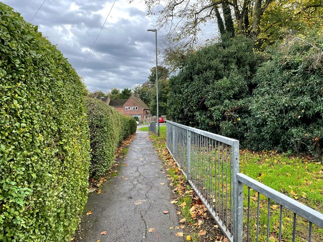
Despite its small size, Bidwell benefits from its close proximity to larger towns such as Dunstable and Bedford. This allows residents to have easy access to a wider range of amenities, including shops, supermarkets, schools, and healthcare facilities.
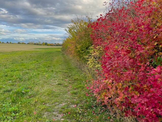
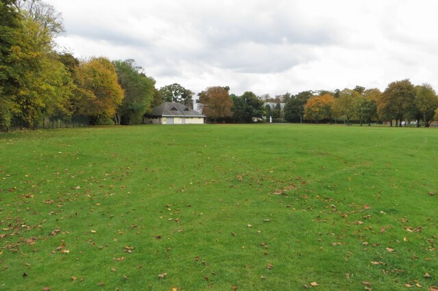
One notable feature of Bidwell is its beautiful green spaces and nature reserves. The village is surrounded by fields and farmland, making it an ideal location for those who enjoy outdoor activities such as walking, cycling, or simply enjoying the tranquility of nature.
Bidwell is well-connected by road, with the A5 passing nearby and providing easy access to the M1 motorway. The village also benefits from good public transportation links, with regular bus services connecting it to nearby towns and cities.
Overall, Bidwell is a peaceful and idyllic village in Bedfordshire, offering a high quality of life for its residents while still providing easy access to nearby amenities and transport links.
If you have any feedback on the listing, please let us know in the comments section below.
Bidwell Images
Images are sourced within 2km of 51.910247/-0.529477 or Grid Reference TL0124. Thanks to Geograph Open Source API. All images are credited.


Bidwell is located at Grid Ref: TL0124 (Lat: 51.910247, Lng: -0.529477)
Unitary Authority: Central Bedfordshire
Police Authority: Bedfordshire
What 3 Words
///magma.equal.along. Near Houghton Regis, Bedfordshire
Nearby Locations
Related Wikis

Thorn, Bedfordshire
Thorn is a hamlet located in the Central Bedfordshire district of Bedfordshire, England. The settlement is located to the north of Bidwell and Houghton...
Bidwell, Bedfordshire
Bidwell is a hamlet located within the Parish of Houghton Regis in Central Bedfordshire, England. Originally a small rural settlement, Bidwell is now a...

Houghton Regis
Houghton Regis is a market town and civil parish in the Central Bedfordshire district of Bedfordshire, England. The parish includes the hamlets of Bidwell...
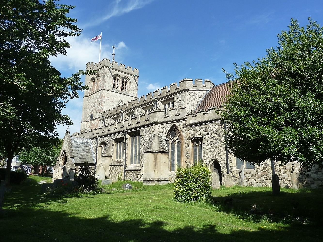
Church of All Saints, Houghton Regis
The Church of All Saints, formerly The Church of St. Michael, is a medieval building and an active Anglican parish church in Houghton Regis in the English...
Luton Rural District
Luton Rural District was a local authority in Bedfordshire, England from 1894 to 1974. It covered an area which almost surrounded but did not include the...
The Crown, Houghton Regis
The Crown is a Grade II listed pub in Houghton Regis, Bedfordshire, England.It is a thatched pub built in the 17th century, and largely unaltered since...
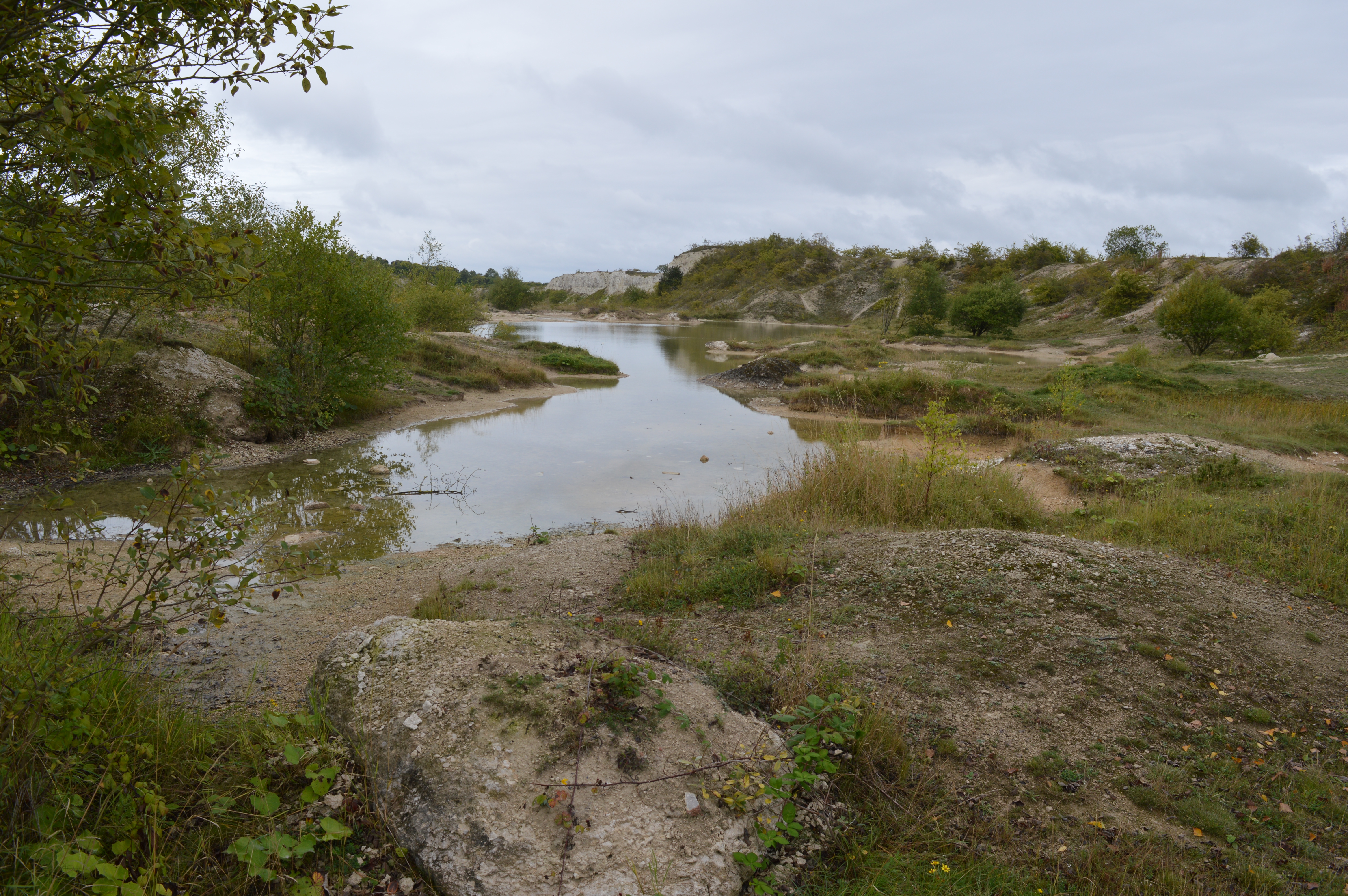
Houghton Regis Marl Lakes
Houghton Regis Marl Lakes is a 20.1-hectare (50-acre) biological Site of Special Scientific Interest in Houghton Regis in Bedfordshire. It was notified...
All Saints Academy, Dunstable
All Saints Academy (formerly The Northfields Technology College) is a co-ed secondary school located in Dunstable, Bedfordshire, England. All Saints educates...
Nearby Amenities
Located within 500m of 51.910247,-0.529477Have you been to Bidwell?
Leave your review of Bidwell below (or comments, questions and feedback).