Taylor's Wood
Wood, Forest in Cheshire
England
Taylor's Wood
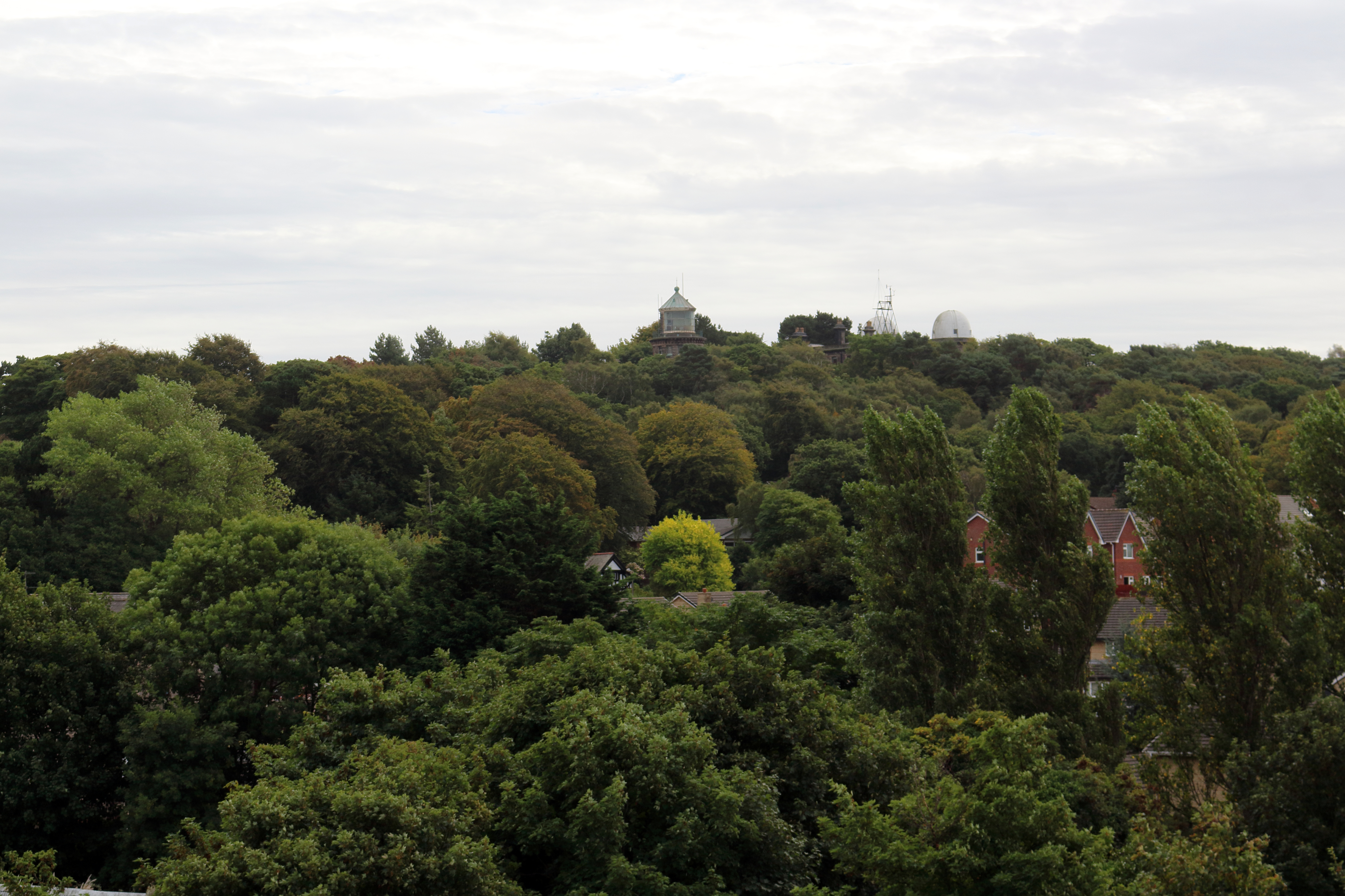
Taylor's Wood is a picturesque woodland located in Cheshire, England. Spanning over a vast area, this woodland is known for its natural beauty, diverse flora and fauna, and peaceful ambiance. It offers a serene escape from the bustling city life and provides visitors with a tranquil environment to enjoy nature at its finest.
The wood is characterized by its dense and ancient trees, including oak, beech, and birch, which provide shelter and habitat for a wide range of wildlife. It is a haven for birdwatchers, as various species such as woodpeckers, owls, and songbirds can be spotted here throughout the year.
Taylor's Wood is well-maintained and has a network of well-marked trails, making it popular among hikers, walkers, and nature enthusiasts. The paths wind through the woodland, offering stunning views and allowing visitors to explore the area at their own pace. Along the way, there are benches and picnic spots where visitors can rest and enjoy a packed lunch amidst the soothing sounds of nature.
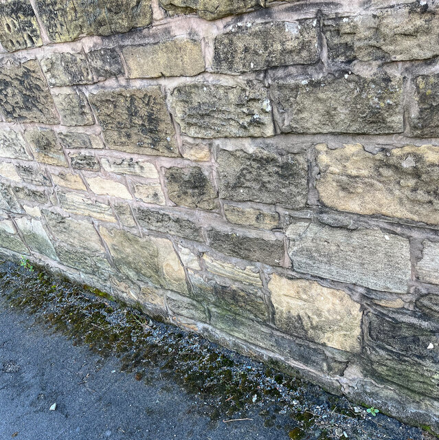
In addition to its natural beauty, Taylor's Wood also has a rich history. The wood has been carefully managed for centuries, and remnants of old structures, such as ancient stone walls and ruins, can be found scattered throughout the area. These historical features add to the charm and allure of the woodland.
Overall, Taylor's Wood in Cheshire is a haven for nature lovers, offering a peaceful and enchanting experience amidst its ancient trees, diverse wildlife, and rich history. Whether it's a leisurely stroll, birdwatching, or simply immersing oneself in the beauty of nature, this woodland provides a perfect escape from the hustle and bustle of everyday life.
If you have any feedback on the listing, please let us know in the comments section below.
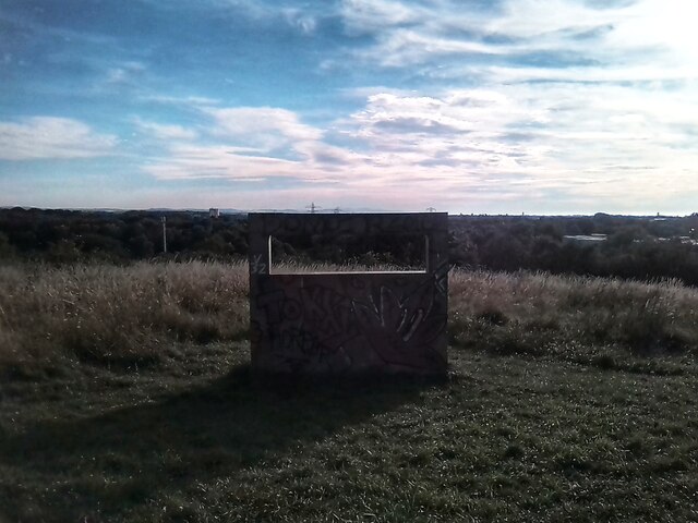
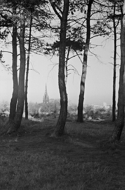
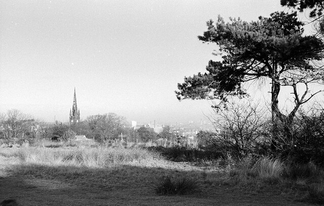
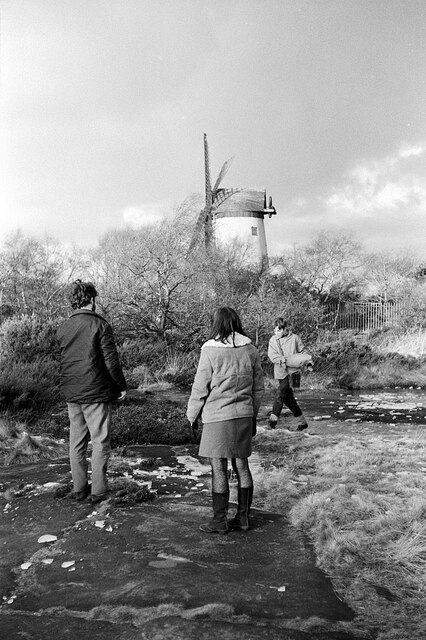
Taylor's Wood Images
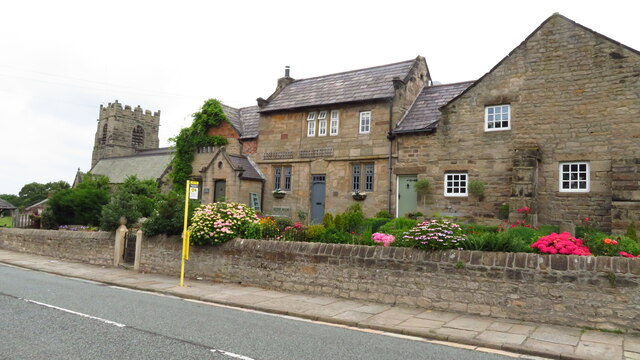
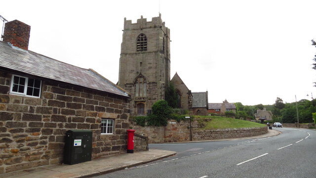
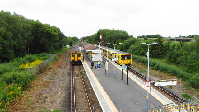
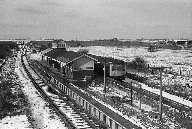
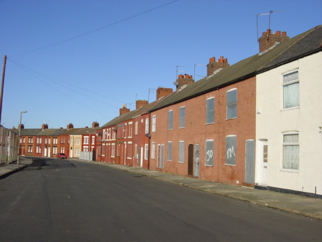
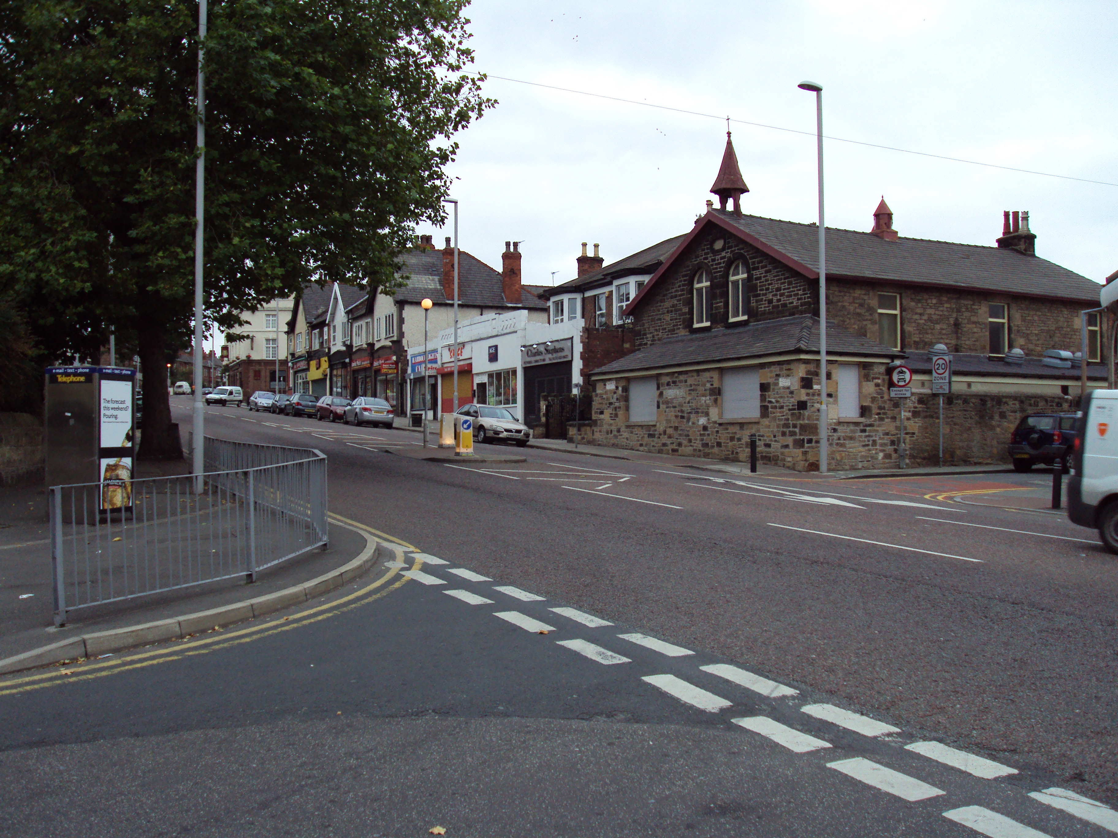
Images are sourced within 2km of 53.395906/-3.0702252 or Grid Reference SJ2889. Thanks to Geograph Open Source API. All images are credited.

Taylor's Wood is located at Grid Ref: SJ2889 (Lat: 53.395906, Lng: -3.0702252)
Unitary Authority: Wirral
Police Authority: Merseyside
What 3 Words
///bottle.polite.editor. Near Wallasey, Merseyside
Nearby Locations
Related Wikis

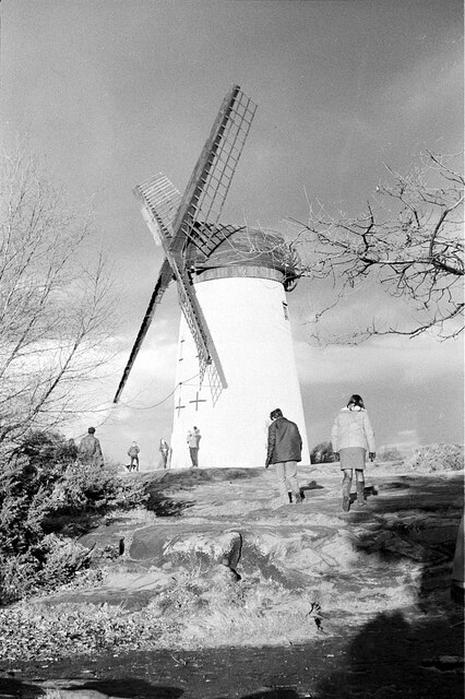
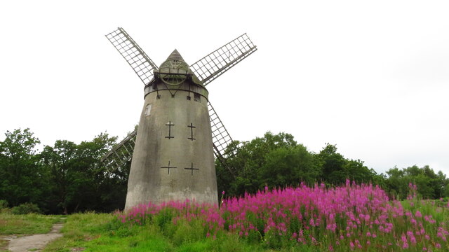
Bidston Windmill
Bidston Windmill is situated on Bidston Hill, near Birkenhead, on the Wirral Peninsula, England. == History == It is believed that there has been a windmill...
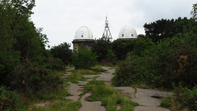
Bidston Hill
Bidston Hill is 100 acres (0.40 km2) of heathland and woodland containing historic buildings and ancient rock carvings, on the Wirral Peninsula, near the...
Claughton, Merseyside
Claughton ( KLAW-tən) is a village and suburb of Birkenhead, on the Wirral Peninsula, Merseyside, England. It is situated approximately 3 km (1.9 mi) to...

Bidston
Bidston is a village and civil parish in the Metropolitan Borough of Wirral in Merseyside, England. Administratively, it is a ward of the Metropolitan...
Nearby Amenities
Located within 500m of 53.395906,-3.0702252Have you been to Taylor's Wood?
Leave your review of Taylor's Wood below (or comments, questions and feedback).