Cod Copse

Wood, Forest in Somerset South Somerset

England

Cod Copse

Junction at Newhouse Farm Junction on the straight drove roads on the north-east side of the Blackdown Hills.
Junction at Newhouse Farm Credit: Derek Harper

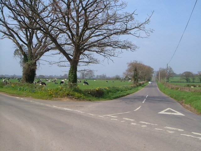
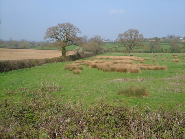
Cod Copse is a picturesque and serene woodland located in Somerset, England. Nestled amidst the rolling hills and countryside, it provides a haven of tranquility for nature enthusiasts and outdoor adventurers alike.

Covering an area of approximately 100 acres, Cod Copse is primarily composed of deciduous trees, including oak, beech, and ash. The dense canopy provides ample shade during the summer months, creating a cool and refreshing atmosphere. The forest floor is adorned with a carpet of wildflowers and ferns, adding to its natural beauty.

The woodland is crisscrossed with a network of well-maintained trails, offering visitors the opportunity to explore its hidden treasures. These paths wind through the forest, leading to secluded glades and babbling brooks. Along the way, hikers may encounter a diverse range of wildlife, including deer, foxes, and various bird species.

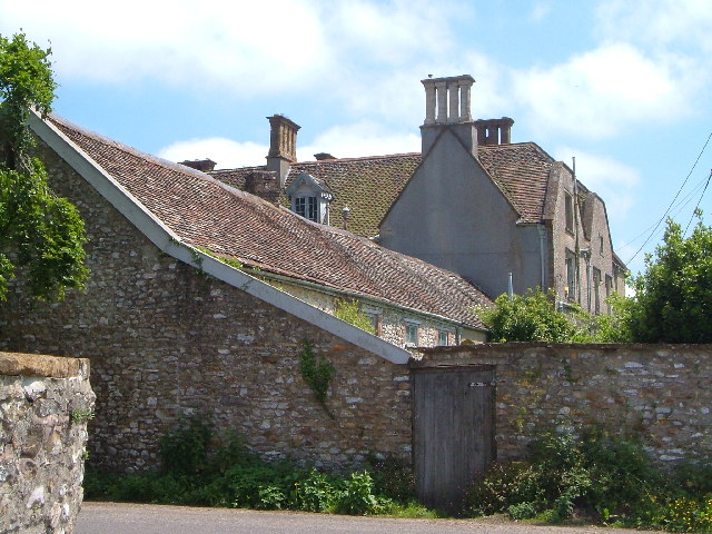
Cod Copse is not only a haven for nature lovers, but it also holds historical significance. The woodland has been in existence for centuries and has witnessed the passage of time. Remnants of old boundary walls and ancient markers can still be found within its boundaries, serving as a reminder of the area's rich heritage.

For those seeking a peaceful retreat, Cod Copse offers several designated picnic areas where visitors can relax and enjoy the serenity of the surroundings. Additionally, there are camping facilities available for those who wish to spend a night under the stars.

Overall, Cod Copse is a hidden gem in Somerset, offering a perfect blend of natural beauty, wildlife, and historical charm. Whether it's a leisurely stroll through the woods or a more adventurous hike, this enchanting forest provides a delightful escape from the hustle and bustle of everyday life.

If you have any feedback on the listing, please let us know in the comments section below.
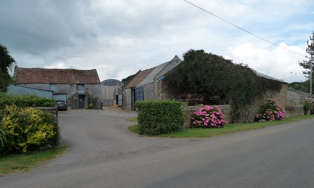
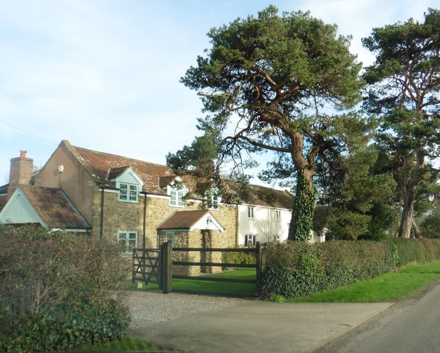
Cod Copse Images

Images are sourced within 2km of 50.935674/-3.0127586 or Grid Reference ST2815. Thanks to Geograph Open Source API. All images are credited.

Junction at Newhouse Farm Junction on the straight drove roads on the north-east side of the Blackdown Hills.
Junction at Newhouse Farm
Junction on the straight drove roads on the north-east side of the Blackdown Hills.
View near Windmill Hill Looking towards Windmill Hill across a meadow with patches of sedge - pleasant, open countryside.
View near Windmill Hill
Looking towards Windmill Hill across a meadow with patches of sedge - pleasant, open countryside.
Newhouse Farm Newhouse Farm sits on the minor road from Horton to Bickenhall at the junction of the road north to Windmill Hill
Newhouse Farm
Newhouse Farm sits on the minor road from Horton to Bickenhall at the junction of the road north to Windmill Hill
Tree and established hedge in a field by Roche Farm
Arable field with Forest Farm in the distance
Footpath to Batt's Place
Footpath off Broadway Road
Floral display outside the garden of New House Farm On the west side of the road from Broadway and Horton to Bickenhall.
Floral display outside the garden of New House Farm
On the west side of the road from Broadway and Horton to Bickenhall.
Older buildings at New House Farm Bigger and newer buildings lie behind these.
Older buildings at New House Farm
Bigger and newer buildings lie behind these.
The road from Broadway to Bickenhall Looking north-west.
The road from Broadway to Bickenhall
Looking north-west.
Trees fed by issues, north-west of Long Grove Farm An issue-fed stream runs along the hedgerow.
Trees fed by issues, north-west of Long Grove Farm
An issue-fed stream runs along the hedgerow.
Farmland, north-west of Long Grove Farm This area is full of issues which feed Venner's Water, a tributary of Fivehead River.
Farmland, north-west of Long Grove Farm
This area is full of issues which feed Venner's Water, a tributary of Fivehead River.
The road from Bickenhall to Broadway Looking south-east.
The road from Bickenhall to Broadway
Looking south-east.
Uncultivated field, north of Long Grove Farm The only uncultivated one in the area.
Uncultivated field, north of Long Grove Farm
The only uncultivated one in the area.
North-western boundary of uncultivated field An issue-fed stream runs alongside the hedge.
North-western boundary of uncultivated field
An issue-fed stream runs alongside the hedge.
Newhouse Farm
Newhouse Farm
Hare Farm
Hare Farm
Cottages on Hare Lane
Show me another place!

Cod Copse is located at Grid Ref: ST2815 (Lat: 50.935674, Lng: -3.0127586)

Administrative County: Somerset

District: South Somerset

Police Authority: Avon and Somerset

What 3 Words

///firm.alerting.reputable. Near Ilminster, Somerset

Nearby Locations

Cod Copse

Related Wikis

Castle Neroche

Castle Neroche is a Norman motte-and-bailey castle on the site of an earlier hill fort in the parish of Curland, near Staple Fitzpaine, Somerset, England...

Barrington Hill Meadows

Barrington Hill Meadows (grid reference ST300170) is a 16.1 hectare (39.5 acre) biological Site of Special Scientific Interest in Somerset, England, notified...

All Saints Church, Curland

All Saints Church is a former Church of England parish church in Curland, Somerset, England. Designed by Benjamin Ferrey, it was built in 1855–56 to replace...

Curland

Curland is a village and civil parish in Somerset, England, situated 6 miles (9.7 km) south of Taunton. The village has a population of 225. The parish...

Church of St Mary, Buckland St Mary

The Anglican Church of St Mary in Buckland St Mary, Somerset, England was built in 1853-1863. It is a Grade II* listed building. == History == The church...

Bickenhall

Bickenhall is a hamlet and parish in Somerset, England, situated 5 miles (8.0 km) south east of Taunton. The parish, which includes the hamlet of Batten...

Buckland St Mary

Buckland St Mary is a village and parish in Somerset, England, situated 6 miles (9.7 km) to the west of Ilminster and 8 miles (12.9 km) south of Taunton...

Broadway, Somerset

Broadway is a village and civil parish in Somerset, England, situated 3 miles (4.8 km) west of Ilminster and 5 miles (8.0 km) north of Chard. The parish...

Nearby Amenities

Located within 500m of 50.935674,-3.0127586
Post Box
Operator: Royal Mail
Operator Wikidata: Q638098
Post Box Type: wall
Ref: TA20 215
Royal Cypher: EIIR
Royal Cypher Wikidata: Q33102113
Lat/Long: 50.9332617/-3.0105446
Power: pole
Source: bing
Transformer: distribution
Lat/Long: 50.9374851/-3.0091904
Power: pole
Source: bing
Lat/Long: 50.9366045/-3.0093299
Power: pole
Source: bing
Lat/Long: 50.9356909/-3.0090697
Power: pole
Source: bing
Lat/Long: 50.9351331/-3.0089074
Power: pole
Source: bing
Transformer: distribution
Lat/Long: 50.933845/-3.0079995
Power: pole
Source: bing
Lat/Long: 50.9345093/-3.0065712
Power: pole
Source: bing
Lat/Long: 50.9344375/-3.0079673
Power: pole
Source: bing
Lat/Long: 50.9344071/-3.0087036
Power: pole
Source: bing
Lat/Long: 50.9343302/-3.0100863
Power: pole
Source: bing
Lat/Long: 50.9342837/-3.0110532
Power: pole
Source: bing
Lat/Long: 50.9341966/-3.0128878
Power: pole
Source: bing
Lat/Long: 50.9342473/-3.0117425
Power: pole
Source: bing
Lat/Long: 50.9340048/-3.0168468
Power: pole
Source: bing
Lat/Long: 50.9346632/-3.0170949
Power: pole
Source: bing
Transformer: distribution
Lat/Long: 50.935292/-3.0172893
Power: pole
Source: bing
Lat/Long: 50.9341273/-3.0143523
Power: pole
Source: bing
Lat/Long: 50.9340563/-3.0158168
Power: pole
Source: bing
Lat/Long: 50.9339617/-3.0177641
Power: pole
Source: bing
Lat/Long: 50.9339177/-3.0185714
The data included in this document is from www.openstreetmap.org. The data is made available under ODbL.

Have you been to Cod Copse?

Leave your review of Cod Copse below (or comments, questions and feedback).