Bidston Hill
Hill, Mountain in Cheshire
England
Bidston Hill
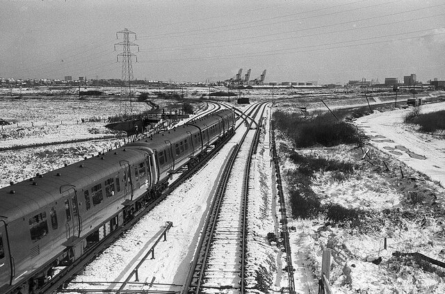
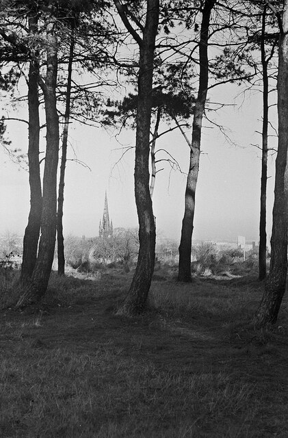
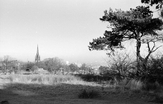
Bidston Hill is a prominent landmark located in the county of Cheshire, England. Rising to a height of 64 meters (210 feet), it is a hill that offers stunning panoramic views of the surrounding areas, including the cities of Liverpool and Birkenhead, as well as the River Mersey. Situated in the village of Bidston, it is a popular destination for locals and tourists alike who come to enjoy its natural beauty and recreational facilities.
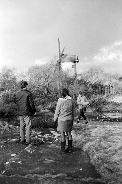
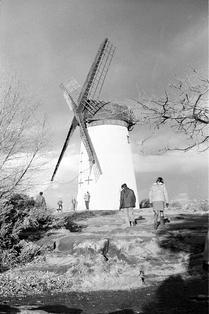
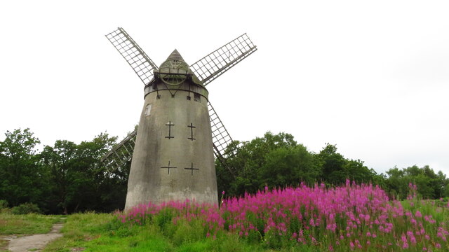
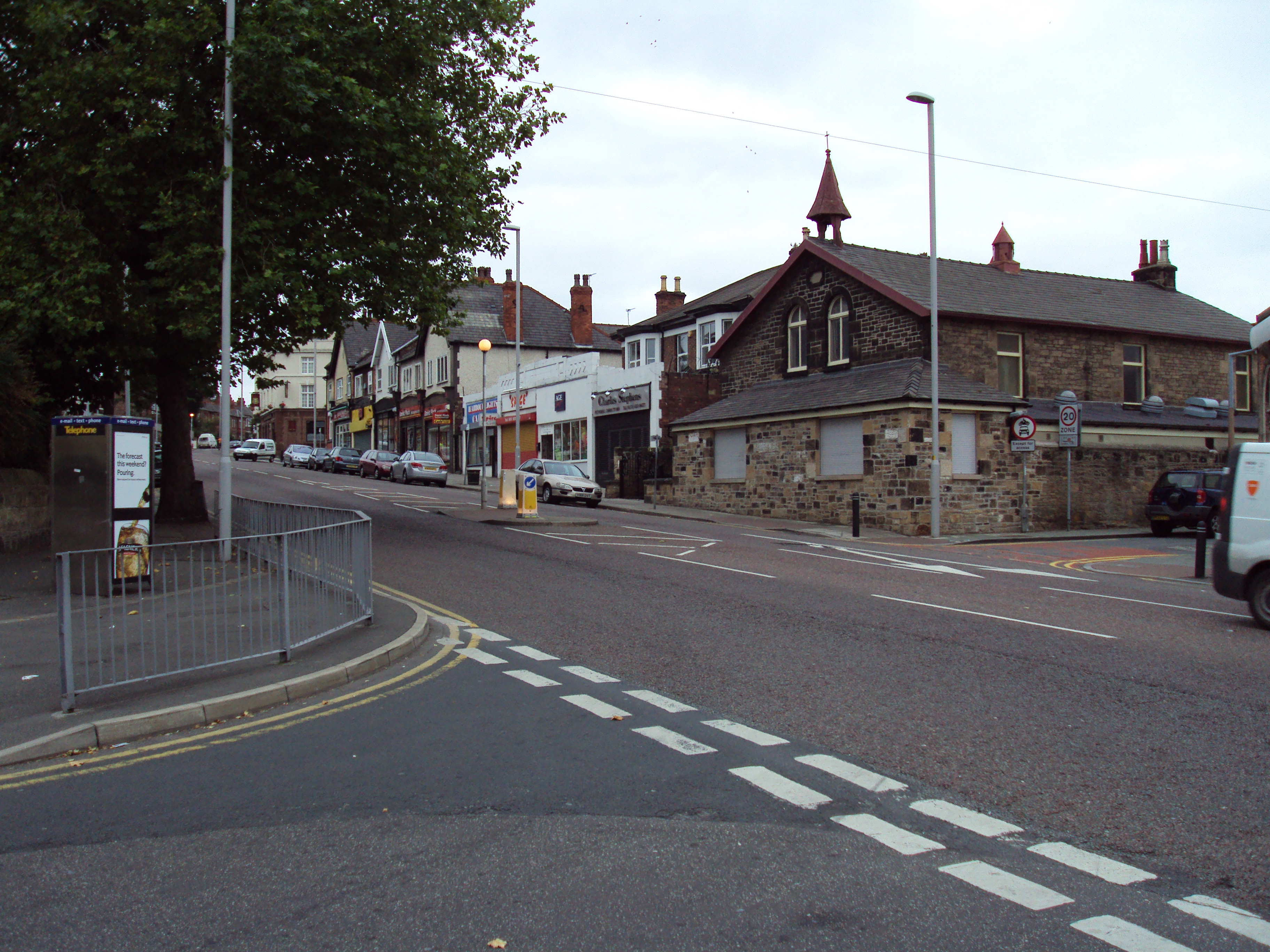
The hill is surrounded by Bidston Village, a residential area with historic buildings that date back to the 19th century. Atop the hill stands Bidston Windmill, a well-preserved tower mill that was built in 1800 and used for grinding corn until 1875. Today, the windmill serves as a museum and is open to the public, providing visitors with a glimpse into the area's industrial past.
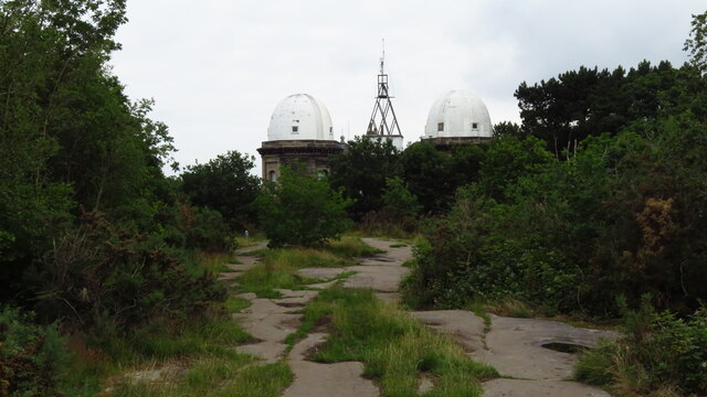
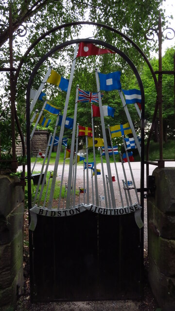
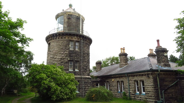
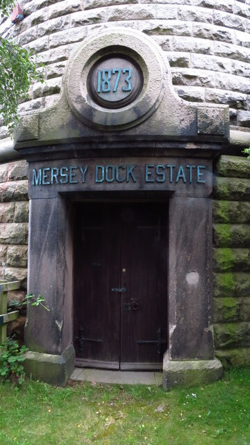
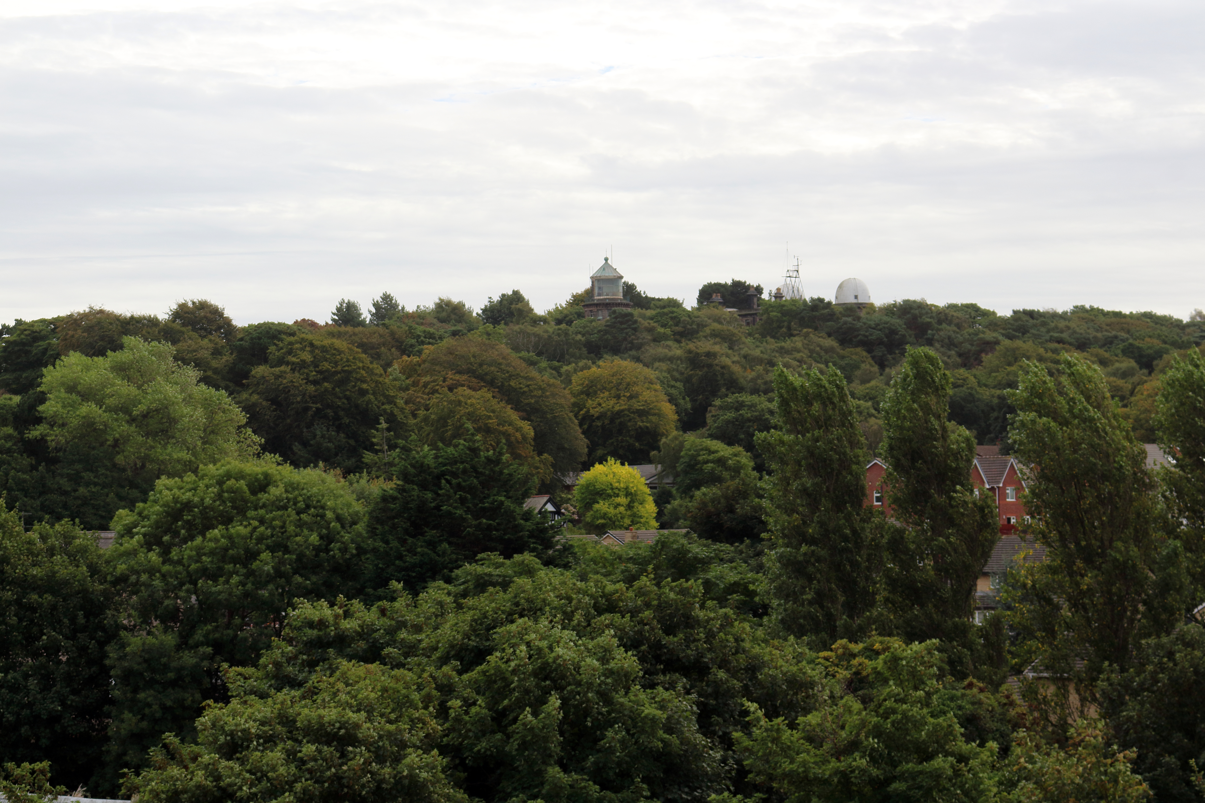
Bidston Hill is also home to Bidston Hill Observatory, which was established in 1866 and played a crucial role in maritime navigation. The observatory houses a time ball, which was used to signal the precise time to ships in the River Mersey. Visitors can explore the observatory and learn about its history through exhibits and displays.
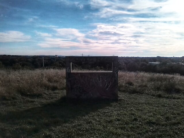
In addition to its historical significance, the hill boasts extensive woodlands, meadows, and heathland, making it a haven for wildlife and a popular spot for walking, picnicking, and birdwatching. The hill is crisscrossed with well-maintained footpaths and trails, allowing visitors to explore its diverse landscapes and enjoy breathtaking views along the way.
Overall, Bidston Hill is a cherished natural and historical gem in Cheshire, offering a blend of cultural heritage, natural beauty, and recreational opportunities for all to enjoy.
If you have any feedback on the listing, please let us know in the comments section below.
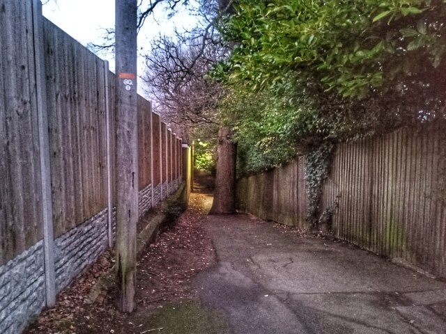
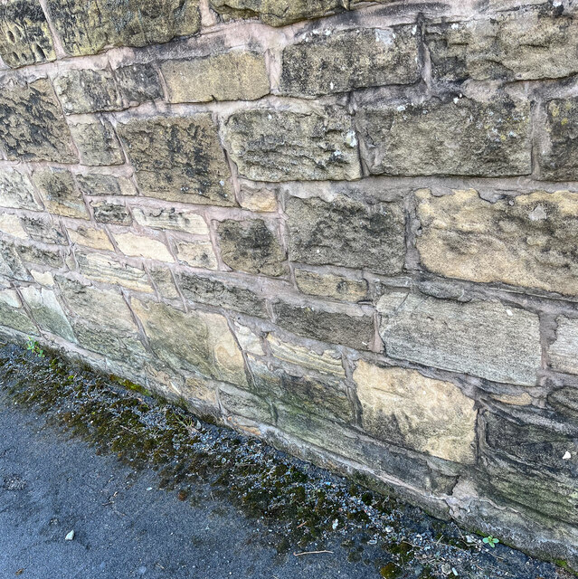
Bidston Hill Images
Images are sourced within 2km of 53.396435/-3.0733516 or Grid Reference SJ2889. Thanks to Geograph Open Source API. All images are credited.
Bidston Hill is located at Grid Ref: SJ2889 (Lat: 53.396435, Lng: -3.0733516)
Unitary Authority: Wirral
Police Authority: Merseyside
What 3 Words
///select.pint.piles. Near Moreton, Merseyside
Nearby Locations
Related Wikis

Bidston Windmill
Bidston Windmill is situated on Bidston Hill, near Birkenhead, on the Wirral Peninsula, England. == History == It is believed that there has been a windmill...
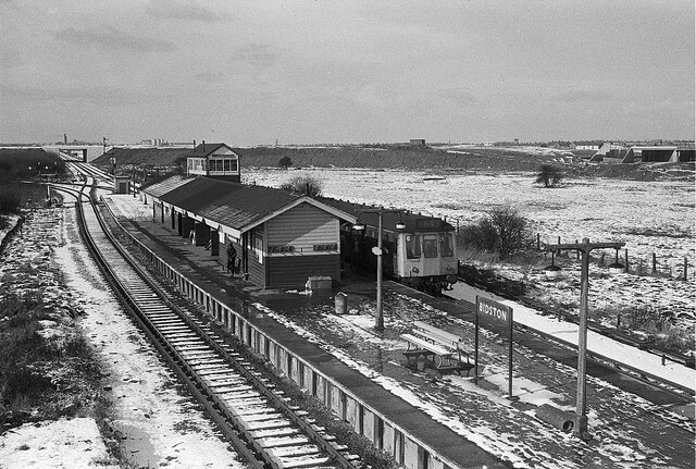
Bidston Hill
Bidston Hill is 100 acres (0.40 km2) of heathland and woodland containing historic buildings and ancient rock carvings, on the Wirral Peninsula, near the...

Bidston
Bidston is a village and civil parish in the Metropolitan Borough of Wirral in Merseyside, England. Administratively, it is a ward of the Metropolitan...

Beechwood, Merseyside
Beechwood is a housing estate in the west of Birkenhead, on the Wirral Peninsula, in Merseyside, England. Administratively it is within the Metropolitan...

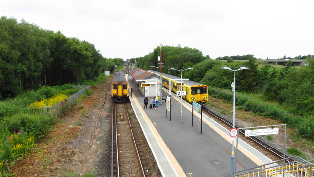
Beechwood railway station
Beechwood is a proposed railway station situated between Bidston and Upton on the Borderlands Line, to serve the Beechwood area of Birkenhead. According...
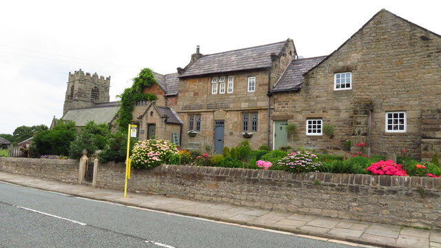
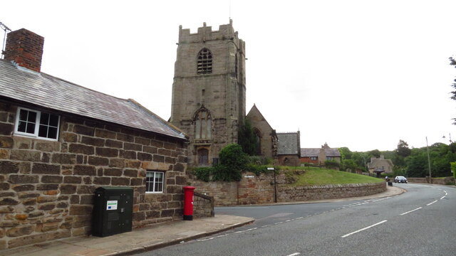
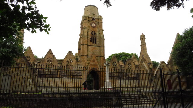
St Oswald's Church, Bidston
St Oswald's Church is in Bidston, an area of Birkenhead, Wirral, Merseyside, England. It is recorded in the National Heritage List for England as a designated...
Claughton, Merseyside
Claughton ( KLAW-tən) is a village and suburb of Birkenhead, on the Wirral Peninsula, Merseyside, England. It is situated approximately 3 km (1.9 mi) to...
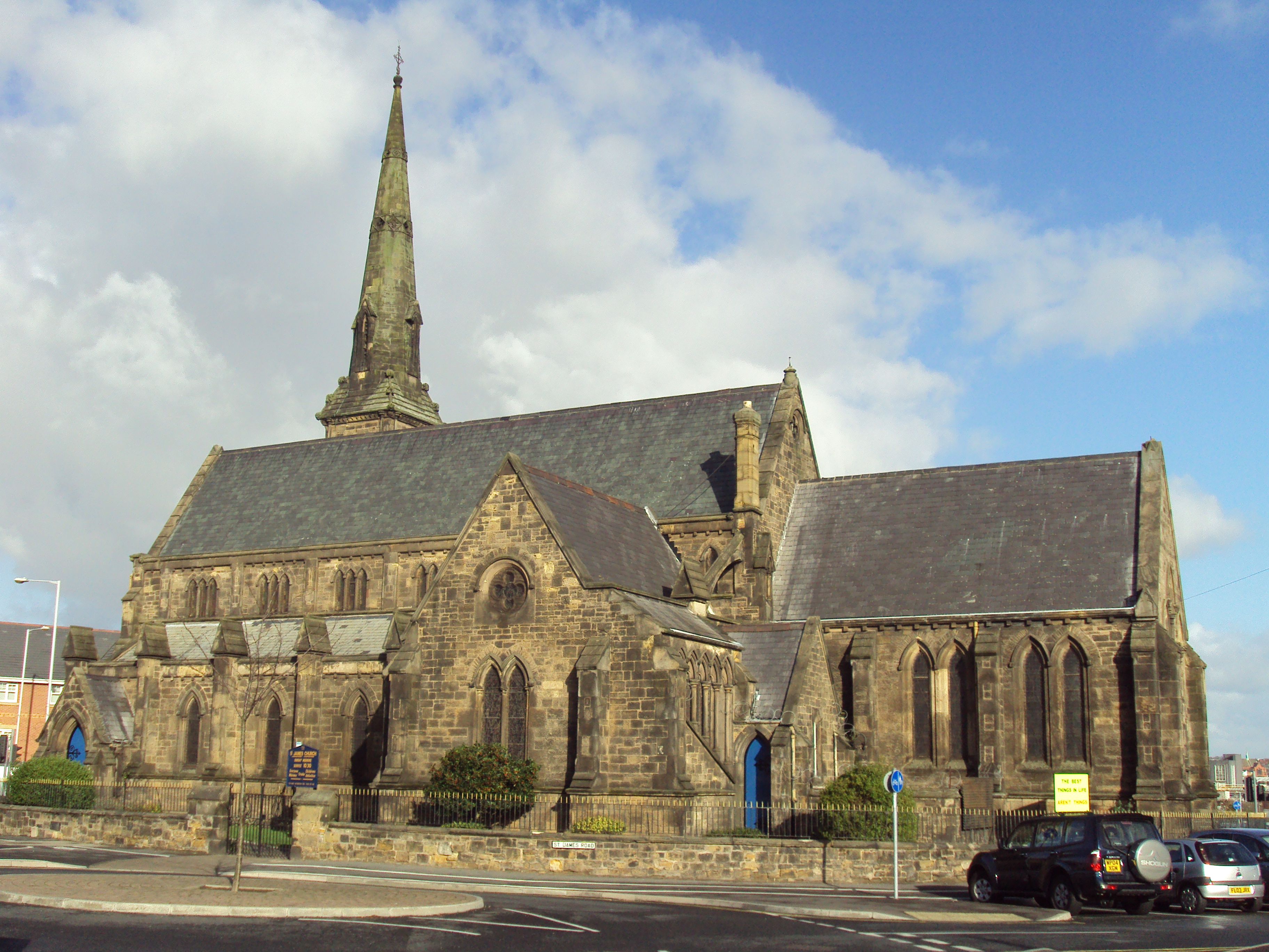
St James' Church, Birkenhead
St James' Church stands on an island site in Birkenhead, Wirral, Merseyside, England. It is an active Anglican parish church in the deanery of Birkenhead...
Nearby Amenities
Located within 500m of 53.396435,-3.0733516Have you been to Bidston Hill?
Leave your review of Bidston Hill below (or comments, questions and feedback).