Turner Cleuch Law
Hill, Mountain in Selkirkshire
Scotland
Turner Cleuch Law

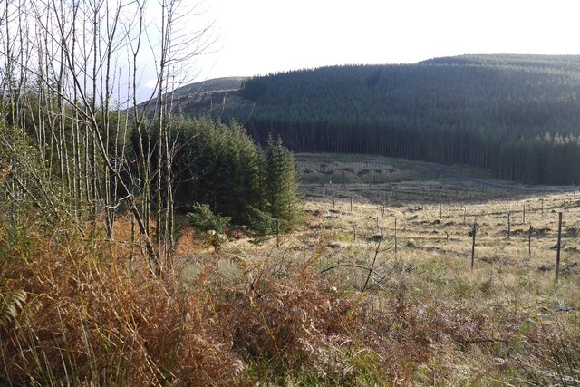
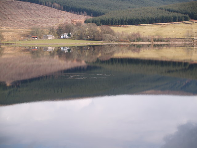
Turner Cleuch Law is a prominent hill located in the region of Selkirkshire, which is part of the Scottish Borders council area in Scotland. Situated in the southern uplands of the country, this hill offers breathtaking views and an excellent opportunity for nature enthusiasts and hikers to explore the rugged beauty of the region.
With an elevation of approximately 495 meters (1,624 feet), Turner Cleuch Law stands tall and commands attention amidst the surrounding landscape. Its distinct shape and prominent position make it a recognizable landmark in the area. The hill is characterized by its steep slopes, which provide an exciting challenge for those seeking a more adventurous climb.
The summit of Turner Cleuch Law rewards visitors with panoramic vistas of the surrounding countryside, including the rolling hills, expansive valleys, and distant peaks. On clear days, it is possible to see as far as the Cheviot Hills in Northumberland, England. The diverse flora and fauna found on the hill add to its appeal, with heather-covered moorlands, native plants, and a variety of bird species.
Access to Turner Cleuch Law is relatively straightforward, with various paths and trails leading to the top. Local authorities have made efforts to maintain and improve these routes, ensuring that visitors can enjoy a safe and enjoyable experience. As with any outdoor activity, it is recommended to check weather conditions and bring appropriate gear before embarking on a hike.
Overall, Turner Cleuch Law offers a captivating and rewarding outdoor experience, combining natural beauty, physical challenge, and breathtaking views. Whether for a leisurely walk or a more demanding climb, this hill in Selkirkshire is a must-visit destination for nature enthusiasts and adventurers alike.
If you have any feedback on the listing, please let us know in the comments section below.
Turner Cleuch Law Images
Images are sourced within 2km of 55.472607/-3.1289316 or Grid Reference NT2820. Thanks to Geograph Open Source API. All images are credited.


Turner Cleuch Law is located at Grid Ref: NT2820 (Lat: 55.472607, Lng: -3.1289316)
Unitary Authority: The Scottish Borders
Police Authority: The Lothians and Scottish Borders
What 3 Words
///resembles.sorry.stumble. Near Ettrick, Scottish Borders
Nearby Locations
Related Wikis
Bowerhope
Bowerhope is a village off the A708, in the Scottish Borders area of Scotland, on the banks of St Mary's Loch in Ettrick Forest. == See also == List of...

Tushielaw Tower
Tushielaw Tower is a 16th-century tower house, about 2.5 miles (4.0 km) north and east of Ettrick, Scottish Borders, Scotland, and west of Ettrick Water...

St Mary's Loch
St Mary's Loch is the largest natural loch in the Scottish Borders, and is situated on the south side of the A708 road between Selkirk and Moffat, about...
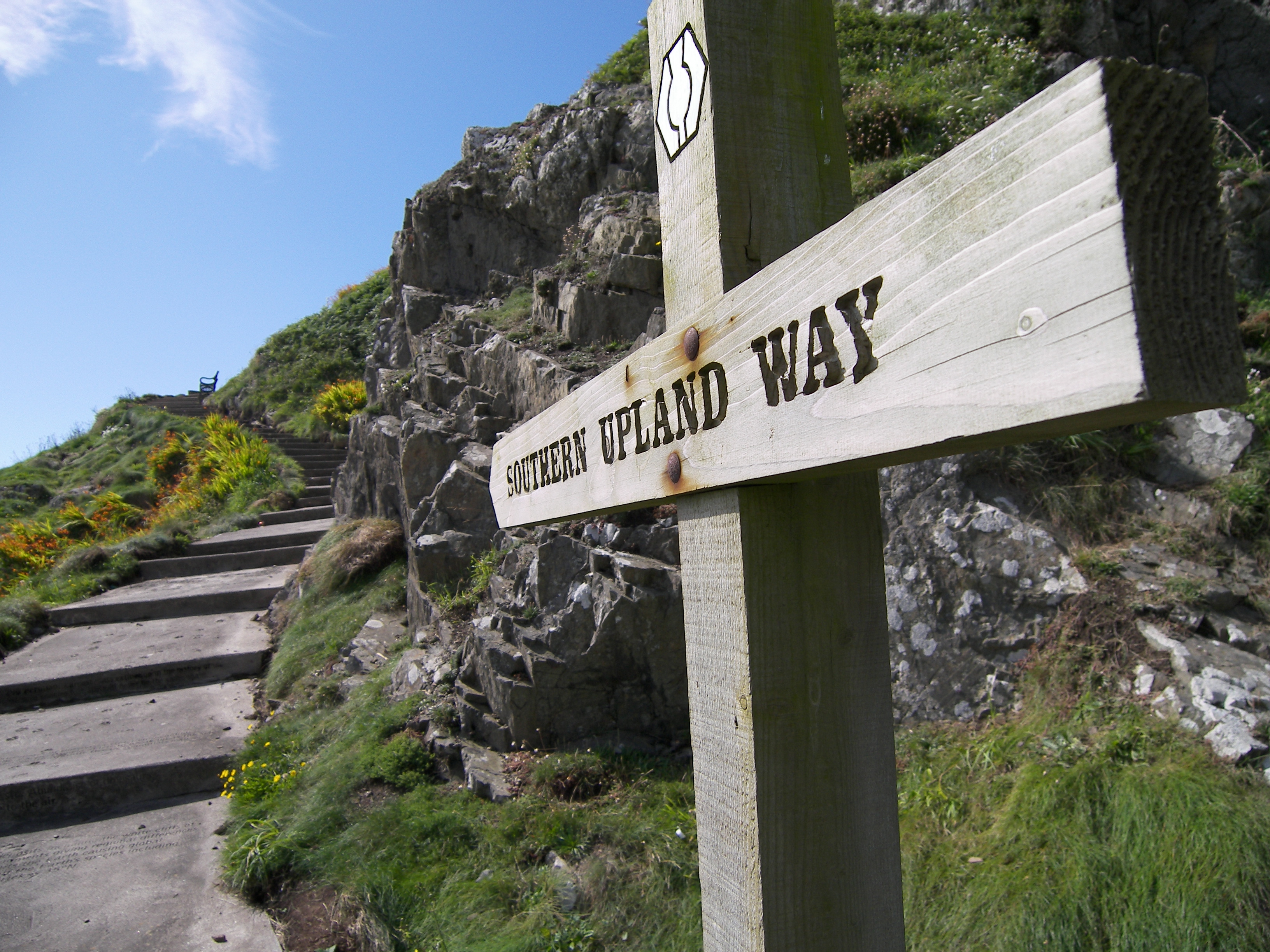
Southern Upland Way
The Southern Upland Way is a 344-kilometre (214 mi) coast-to-coast long-distance footpath in southern Scotland. The route links Portpatrick in the west...
Nearby Amenities
Located within 500m of 55.472607,-3.1289316Have you been to Turner Cleuch Law?
Leave your review of Turner Cleuch Law below (or comments, questions and feedback).