Lower Heath Wood

Wood, Forest in Cheshire

England

Lower Heath Wood

A dreary helipad, Murrayfield Hospital It is unlikely that many helicopters land here - the hospital is private and doesn't deal with emergencies. It may be required for the consultants though - the hospital owners, Spire, list almost a hundred as being available at Murrayfield, and the majority of them spread their workloads between three our four Spire premises.
Licences are not required for helipads that do not anticipate being used for more than 28 days a year. On the other hand, however, there is a four year old document by the Civil Aviation Authority which stretches to 135 pages, detailing the dos and don'ts for hospital helipads. Whilst it must obviously only apply to the  28 day plus variety, it still seems excessive; I often think life would be simpler if our document authors had had to study the Highway Code as part of their training.
This pad seems quite straightforward: a cross to show you're at the hospital; four normal lamps to light up the landing area; and an upward-pointing red/green light at each corner of the square. The green obviously indicates it's good to land and the red that it's not. I would hope that the helicopters themselves also have lights on their tops, just in case the helipad is playing up and another one tries to land on them.
A dreary helipad, Murrayfield Hospital Credit: Ian Dodds

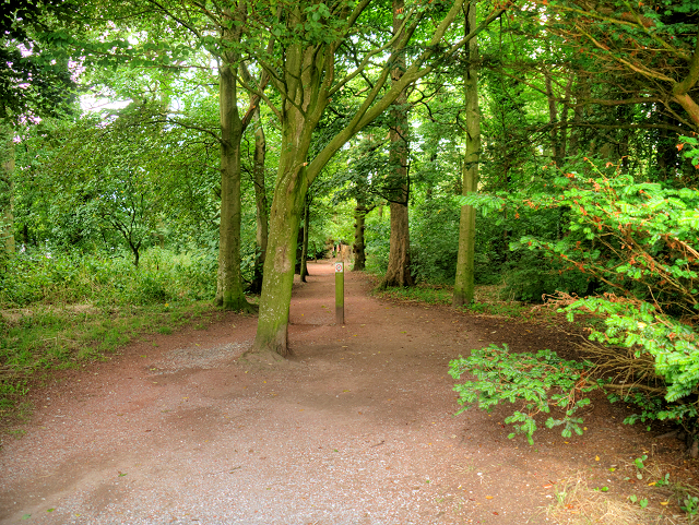
Lower Heath Wood is a picturesque woodland located in Cheshire, England. Spanning an area of approximately 10 hectares, this woodland is known for its natural beauty and diverse ecosystem. It is situated near the village of Lower Heath, which adds to its accessibility and popularity among locals and tourists alike.

The woodland is primarily composed of deciduous trees, with oak and beech being the dominant species. This creates a rich and vibrant canopy, providing a habitat for a wide range of flora and fauna. Bluebells, wood anemones, and wild garlic are some of the wildflowers that bloom in abundance during the spring months, creating a stunning visual display.

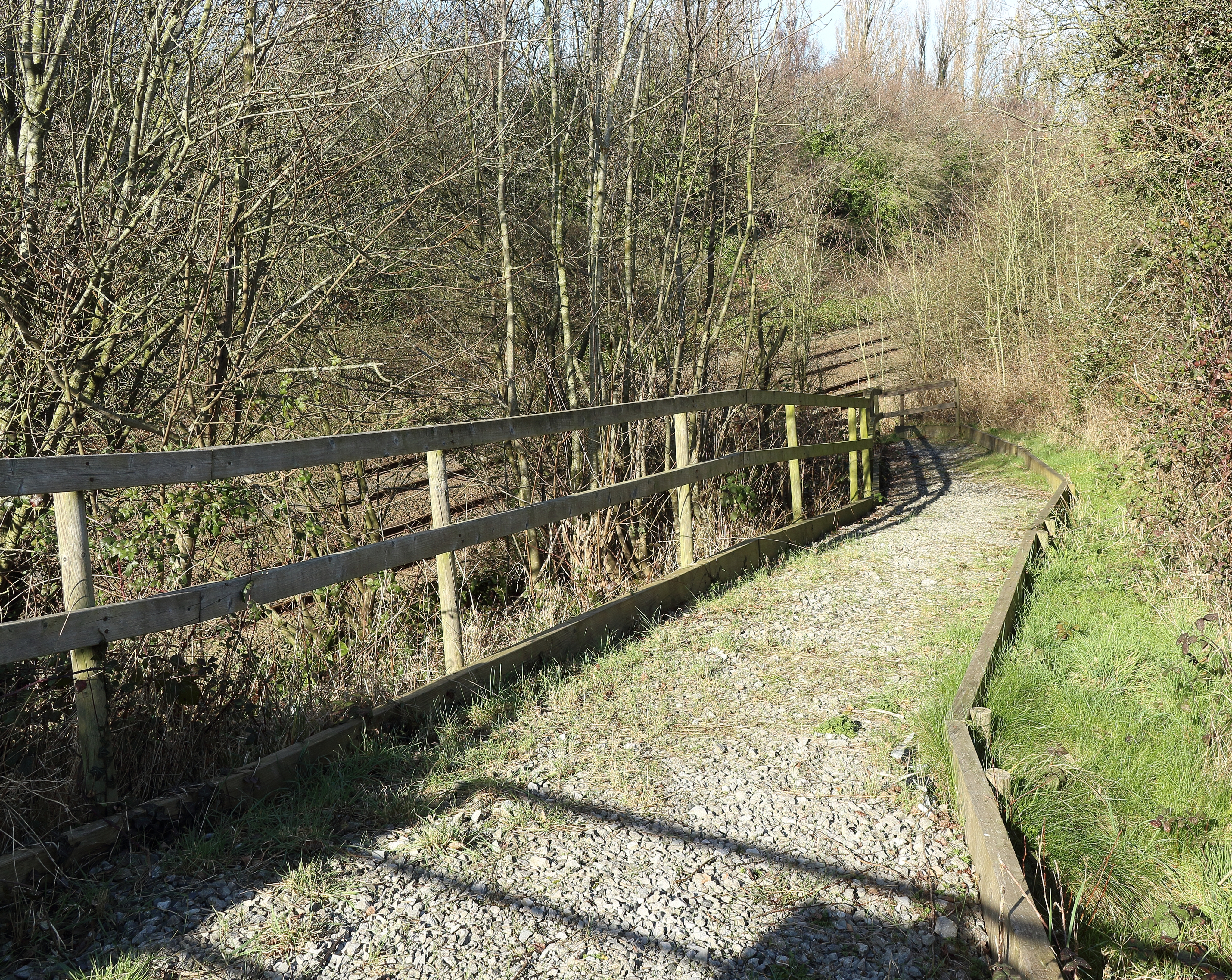
The wood is crisscrossed by a network of well-maintained footpaths, allowing visitors to explore its natural wonders. These paths meander through the trees, leading to secluded clearings and peaceful spots, perfect for relaxing or enjoying a picnic. The wood also offers opportunities for birdwatching, with species such as woodpeckers, nuthatches, and treecreepers frequently spotted in the area.

In addition to its natural beauty, Lower Heath Wood also holds historical significance. It is believed that the wood was once part of a larger ancient forest that covered the region. This adds an element of mystique and intrigue to the woodland, attracting history enthusiasts and nature lovers alike.

Overall, Lower Heath Wood provides a tranquil and enchanting escape from the hustle and bustle of everyday life. Its combination of natural beauty, diverse ecosystem, and historical significance make it a must-visit destination for anyone seeking a peaceful and immersive woodland experience.

If you have any feedback on the listing, please let us know in the comments section below.

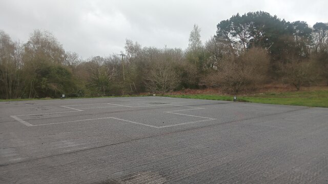
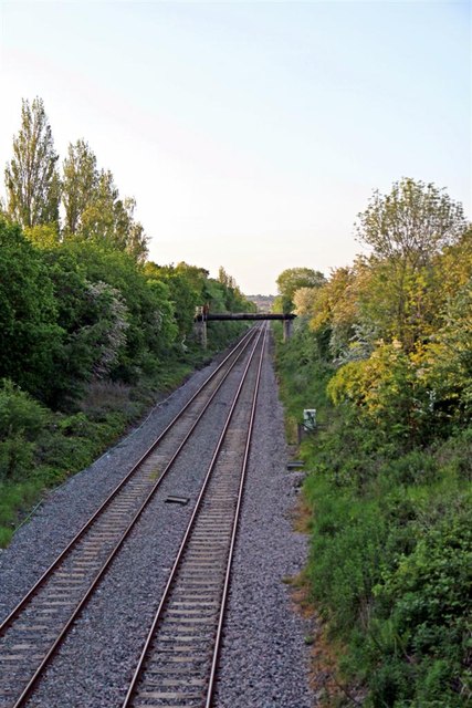
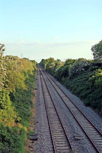
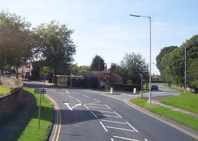
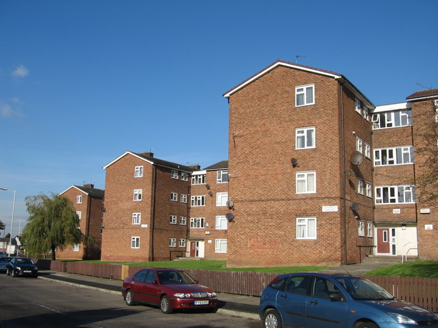
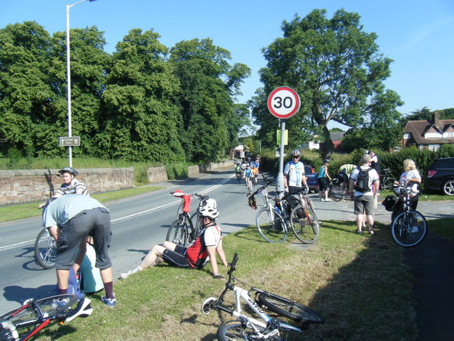
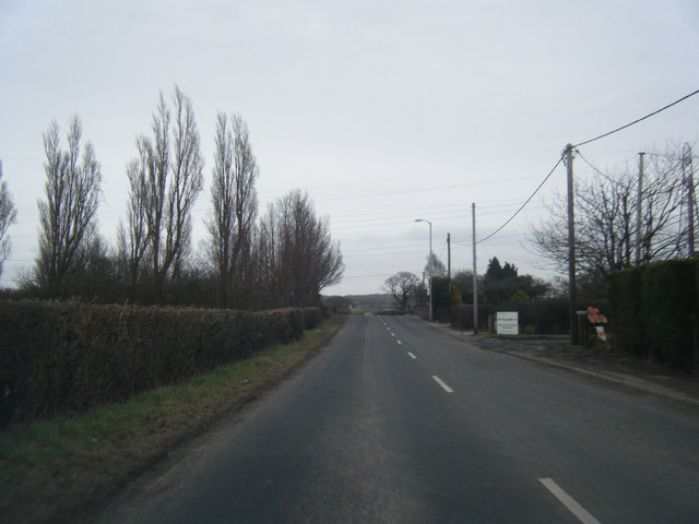
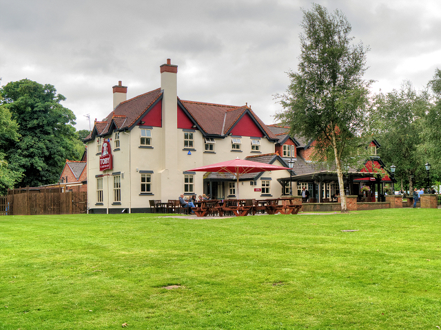
Lower Heath Wood Images

Images are sourced within 2km of 53.352227/-3.0703774 or Grid Reference SJ2884. Thanks to Geograph Open Source API. All images are credited.

A dreary helipad, Murrayfield Hospital It is unlikely that many helicopters land here - the hospital is private and doesn't deal with emergencies. It may be required for the consultants though - the hospital owners, Spire, list almost a hundred as being available at Murrayfield, and the majority of them spread their workloads between three our four Spire premises.
Licences are not required for helipads that do not anticipate being used for more than 28 days a year. On the other hand, however, there is a four year old document by the Civil Aviation Authority which stretches to 135 pages, detailing the dos and don'ts for hospital helipads. Whilst it must obviously only apply to the  28 day plus variety, it still seems excessive; I often think life would be simpler if our document authors had had to study the Highway Code as part of their training.
This pad seems quite straightforward: a cross to show you're at the hospital; four normal lamps to light up the landing area; and an upward-pointing red/green light at each corner of the square. The green obviously indicates it's good to land and the red that it's not. I would hope that the helicopters themselves also have lights on their tops, just in case the helipad is playing up and another one tries to land on them.
A dreary helipad, Murrayfield Hospital
It is unlikely that many helicopters land here - the hospital is private and doesn't deal with emergencies. It may be required for the consultants though - the hospital owners, Spire, list almost a hundred as being available at Murrayfield, and the majority of them spread their workloads between three our four Spire premises. Licences are not required for helipads that do not anticipate being used for more than 28 days a year. On the other hand, however, there is a four year old document by the Civil Aviation Authority which stretches to 135 pages, detailing the dos and don'ts for hospital helipads. Whilst it must obviously only apply to the 28 day plus variety, it still seems excessive; I often think life would be simpler if our document authors had had to study the Highway Code as part of their training. This pad seems quite straightforward: a cross to show you're at the hospital; four normal lamps to light up the landing area; and an upward-pointing red/green light at each corner of the square. The green obviously indicates it's good to land and the red that it's not. I would hope that the helicopters themselves also have lights on their tops, just in case the helipad is playing up and another one tries to land on them.
M53 looking south at Junction 3
M53 southbound near Landican
Pensby Road, Heswall
The Borderlands Line, Barnston The site of the former Storeton railway station. Facing towards Upton.
The Borderlands Line, Barnston
The site of the former Storeton railway station. Facing towards Upton.
The Borderlands Line, Barnston Facing towards Heswall.
The Borderlands Line, Barnston
Facing towards Heswall.
Thingwall Road East off Pensby Road leads to Irby
Caithness Gardens, Prenton Hall Road
The Dell, Prenton Hall Road
Shops and playground, Dickens Avenue
M53 east of Stanley Wood
M53 northbound at Junction 3
A551 in Barnston during Liverpool-Chester charity cycle ride
Station Road heading east
Toby Carvery, Arrowe park Formerly known as "The Cherry Orchard", the Toby Carvery is a large pub/restaurant at the entrance to Arrowe Country Park.
Toby Carvery, Arrowe park
Formerly known as "The Cherry Orchard", the Toby Carvery is a large pub/restaurant at the entrance to Arrowe Country Park.
A Path in Arrowe Country Park Arrowe Park (also known as Arrowe Country Park) is an area of parkland, woodland and leisure facilities to the west of Birkenhead within the Metropolitan Borough of Wirral. The park comprises approximately 425 acres of land which was a country estate sold to Birkenhead Corporation by Lord Leverhulme in 1926.
A Path in Arrowe Country Park
Arrowe Park (also known as Arrowe Country Park) is an area of parkland, woodland and leisure facilities to the west of Birkenhead within the Metropolitan Borough of Wirral. The park comprises approximately 425 acres of land which was a country estate sold to Birkenhead Corporation by Lord Leverhulme in 1926.
Arrowe Country Park, Birkenhead Arrowe Park (also known as Arrowe Country Park) is an area of parkland, woodland and leisure facilities to the west of Birkenhead within the Metropolitan Borough of Wirral. The park comprises approximately 425 acres of land which was a country estate sold to Birkenhead Corporation by Lord Leverhulme in 1926.
Arrowe Country Park, Birkenhead
Arrowe Park (also known as Arrowe Country Park) is an area of parkland, woodland and leisure facilities to the west of Birkenhead within the Metropolitan Borough of Wirral. The park comprises approximately 425 acres of land which was a country estate sold to Birkenhead Corporation by Lord Leverhulme in 1926.
Arrowe Park Golf Course Arrowe Park (also known as Arrowe Country Park) is an area of parkland, woodland and leisure facilities to the west of Birkenhead within the Metropolitan Borough of Wirral. The park comprises approximately 425 acres of land which was a country estate sold to Birkenhead Corporation by Lord Leverhulme in 1926. Arrowe Park Golf Club has an area of 150 acres within the park and consists of a clubhouse and an eighteen hole course.
Arrowe Park Golf Course
Arrowe Park (also known as Arrowe Country Park) is an area of parkland, woodland and leisure facilities to the west of Birkenhead within the Metropolitan Borough of Wirral. The park comprises approximately 425 acres of land which was a country estate sold to Birkenhead Corporation by Lord Leverhulme in 1926. Arrowe Park Golf Club has an area of 150 acres within the park and consists of a clubhouse and an eighteen hole course.
Show me another place!

Lower Heath Wood is located at Grid Ref: SJ2884 (Lat: 53.352227, Lng: -3.0703774)

Unitary Authority: Wirral

Police Authority: Merseyside

What 3 Words

///erase.edit.string. Near Prenton, Merseyside
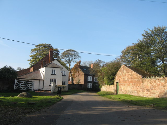
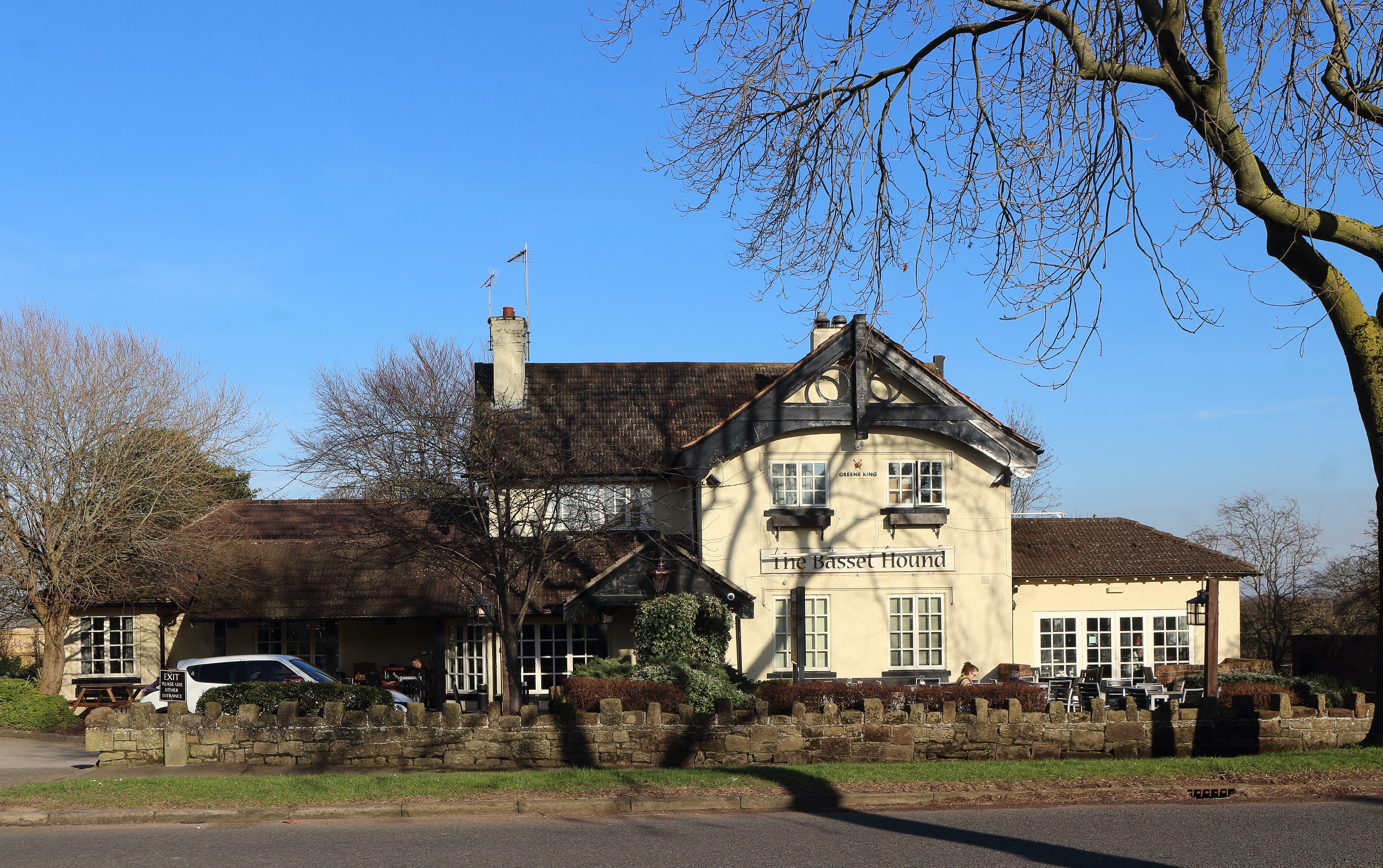
Nearby Locations

Lower Heath Wood

Related Wikis

Storeton railway station

Storeton railway station was located on the northern side of Station Road, between Barnston and Storeton, England. == History == Originally named Barnston...

Barnston, Merseyside

Barnston is a village and former civil parish in the Wirral district, in the county of Merseyside, England, situated on the Wirral Peninsula to the north...

Landican

Landican () is a hamlet and former civil parish on the outskirts of Birkenhead, in the Metropolitan Borough of Wirral, Merseyside, England. The hamlet...

Prenton Brook

Prenton Brook is a tributary of the River Fender, in Wirral, Merseyside. The brook starts as field drainage east of Thingwall and flows through Barnston...

Thingwall

Thingwall is a village on the Wirral Peninsula, in Merseyside, England. The village is situated approximately 8 km (5.0 mi) to the south west of Birkenhead...

Christ Church, Barnston

Christ Church is in the village of Barnston, near Heswall, Wirral, Merseyside, England. The church was built in 1870–71, and designed by G. E. Street...

Storeton

Storeton is a small village and former civil parish in the Wirral district, in the county of Merseyside, England, on the Wirral Peninsula. It is west of...
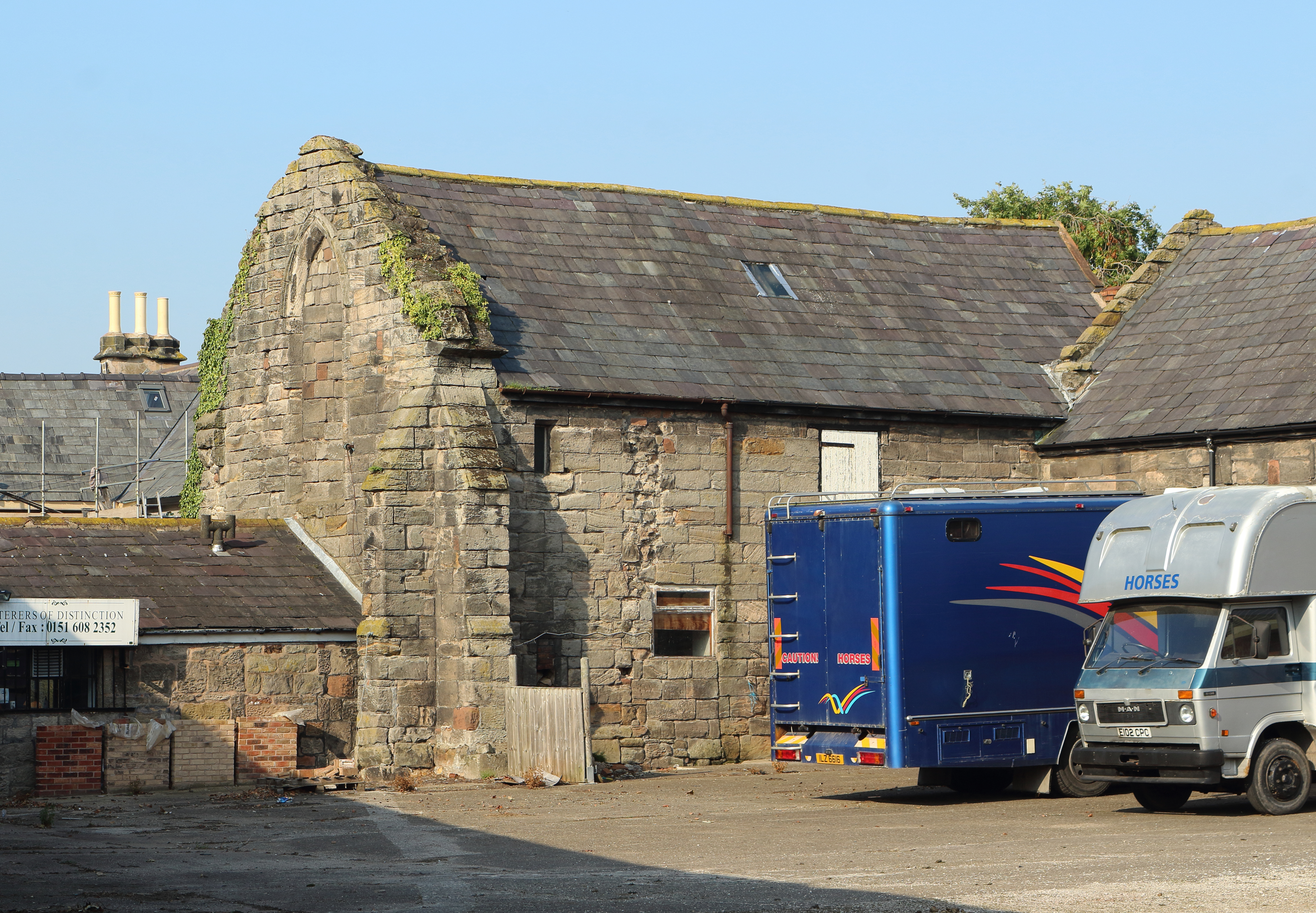
Storeton Hall

Storeton Hall was a country house in the village of Storeton, Wirral, Merseyside, England. It was built in the 14th century for the Stanley family and...

Nearby Amenities

Located within 500m of 53.352227,-3.0703774
Storeton Brickfields
Is In: Wirral, Merseyside, England, UK
Place: hamlet
Source: npe
Lat/Long: 53.3489814/-3.0664779
Power: tower
Lat/Long: 53.3510425/-3.0642598
Power: tower
Lat/Long: 53.3537322/-3.063453
Turning Circle
Lat/Long: 53.3495872/-3.0743031
Bus Stop
Storeton Rd/station House
Bus: yes
Naptan AtcoCode: 2800S26057C
Naptan Bearing: E
Naptan CommonName: Storeton Rd/station House
Naptan Indicator: Storeton Road Opp Station House
Naptan Landmark: Storeton Rd/station House
Naptan NaptanCode: mergmawp
Naptan Notes: No Notes
Naptan ShortCommonName: Storeton Rd
Naptan Street: Station Road
Naptan Verified: no
Public Transport: platform
Source: naptan_import
Lat/Long: 53.3490432/-3.0677833
Power: tower
Lat/Long: 53.3486205/-3.0665258
Power: tower
Lat/Long: 53.3504709/-3.065873
Power: tower
Lat/Long: 53.3528237/-3.0650764
Railway: crossing
Lat/Long: 53.3527963/-3.0659317
Railway: crossing
Lat/Long: 53.3527911/-3.0658773
Storeton
Historic Railway: station
Railway: site
Wikidata: Q20710247
Wikipedia: en:Storeton railway station
Lat/Long: 53.349502/-3.0670836
The data included in this document is from www.openstreetmap.org. The data is made available under ODbL.

Have you been to Lower Heath Wood?

Leave your review of Lower Heath Wood below (or comments, questions and feedback).