Brow's Wood
Wood, Forest in Cumberland Allerdale
England
Brow's Wood
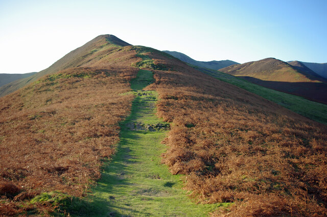
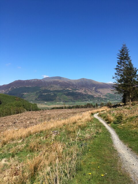
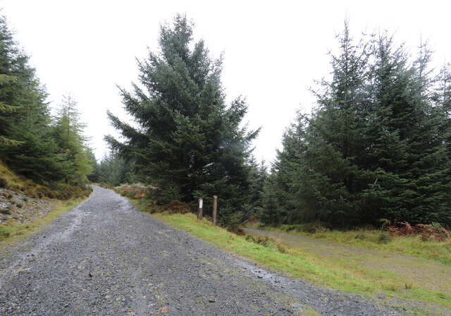
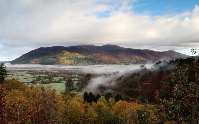
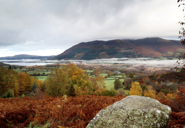
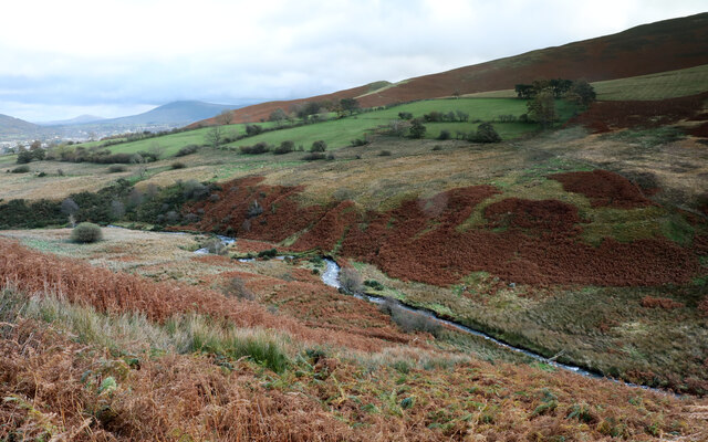
Brow's Wood, located in Cumberland, is a picturesque forest known for its natural beauty and diverse wildlife. Spanning over a vast area, this wood is a haven for nature enthusiasts and offers a tranquil escape from the hustle and bustle of urban life.
The wood is characterized by its dense canopy of towering trees, predominantly consisting of oak, beech, and ash. These majestic trees provide a habitat for a wide range of wildlife, including various species of birds, small mammals, and insects. Visitors to Brow's Wood often have the opportunity to spot creatures such as deer, foxes, squirrels, and a variety of bird species.
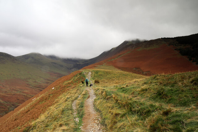
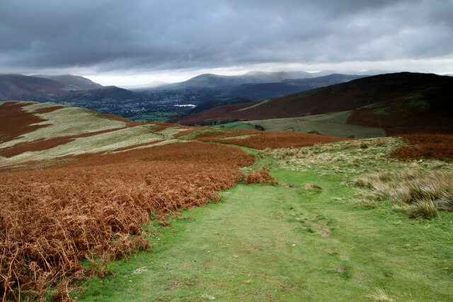
Trails wind their way through the wood, offering visitors a chance to explore its hidden treasures. These paths are well-maintained and suitable for both leisurely walks and more adventurous hikes. Along the way, one can witness the beauty of wildflowers blooming in spring and enjoy the vibrant colors of autumn leaves in fall.
Brow's Wood is also home to a rich history, with evidence of human habitation dating back centuries. Remnants of ancient settlements and burial mounds can be found within the wood, providing a glimpse into the area's past.
In addition to its natural and historical significance, Brow's Wood offers various recreational activities. Picnic spots are scattered throughout the forest, providing a perfect setting for a family outing or a peaceful lunch amidst nature. Camping facilities are also available for those wishing to immerse themselves in the serene atmosphere of the wood for a longer period.
Overall, Brow's Wood is a captivating location that showcases the beauty of Cumberland's woodlands. Its combination of natural splendor and historical significance make it a must-visit destination for nature lovers and history enthusiasts alike.
If you have any feedback on the listing, please let us know in the comments section below.
Brow's Wood Images
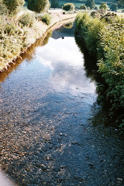
Images are sourced within 2km of 54.608581/-3.2009564 or Grid Reference NY2224. Thanks to Geograph Open Source API. All images are credited.


Brow's Wood is located at Grid Ref: NY2224 (Lat: 54.608581, Lng: -3.2009564)
Administrative County: Cumbria
District: Allerdale
Police Authority: Cumbria
What 3 Words
///stuff.litigate.smart. Near Keswick, Cumbria
Nearby Locations
Related Wikis
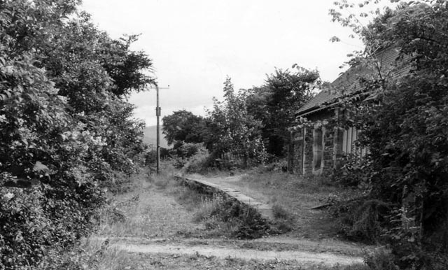
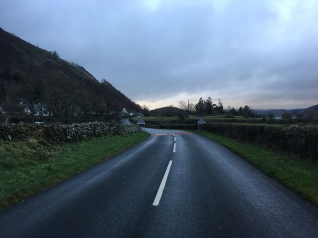
Braithwaite railway station
Braithwaite railway station was situated on the Cockermouth, Keswick and Penrith Railway between Penrith and Cockermouth in Cumbria, England. The station...

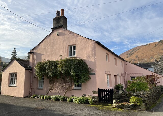
Braithwaite
Braithwaite is a village in the northern Lake District, in Cumbria, England. Historically in Cumberland, it lies just to the west of Keswick and to the...

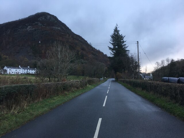
Thornthwaite
Thornthwaite is a village in Cumbria, England. Historically in Cumberland, it is just off the A66 road, south of Bassenthwaite Lake and within the Lake...
Coledale Beck
Coledale Beck is a minor river running through Cumbria in England. == Course == The beck rises north east of Eel Crag, where Pudding Beck meets Birkthwaite...
Nearby Amenities
Located within 500m of 54.608581,-3.2009564Have you been to Brow's Wood?
Leave your review of Brow's Wood below (or comments, questions and feedback).