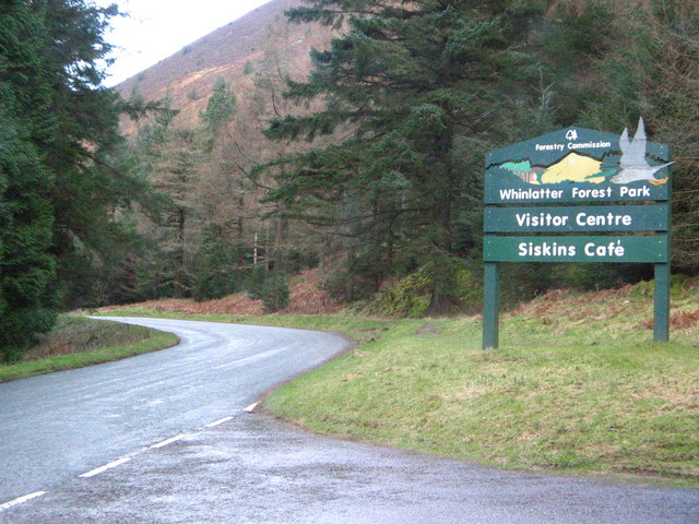
Whinlatter Allotment
Wood, Forest in Cumberland Allerdale
England
Whinlatter Allotment
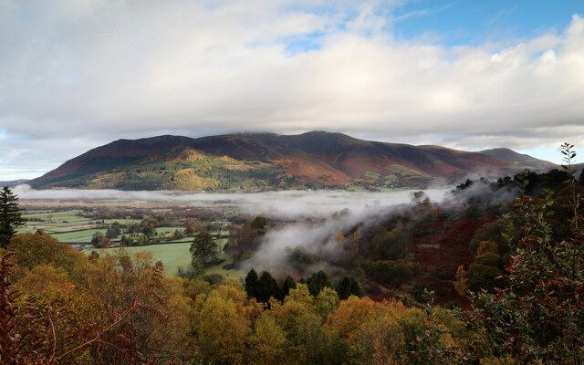
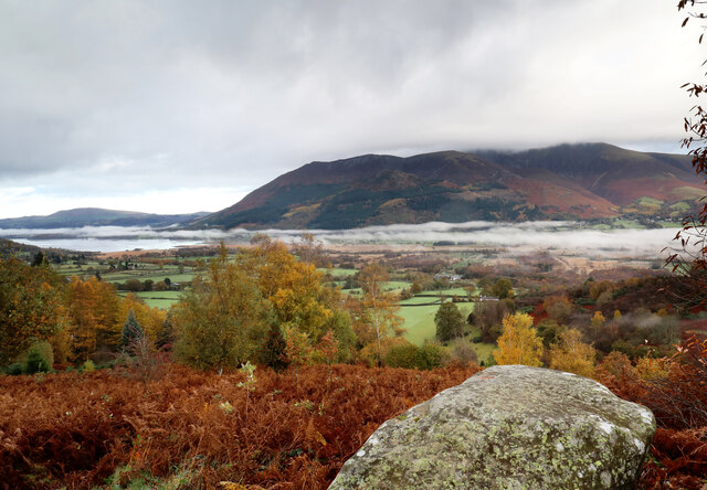
Whinlatter Allotment, located in Cumberland, England, is a picturesque woodland area primarily known for its rich variety of trees and diverse ecosystems. Situated within the larger Whinlatter Forest, it covers an extensive area and offers a tranquil escape for nature enthusiasts and those seeking outdoor recreational activities.
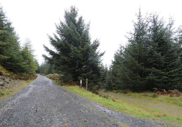
The allotment is home to an impressive array of tree species, including oak, beech, birch, and pine, among others, which create a dense and enchanting forest canopy. These trees not only provide essential habitats for a wide range of wildlife but also offer a stunning display of colors during the autumn season.
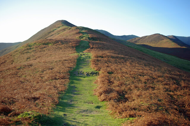
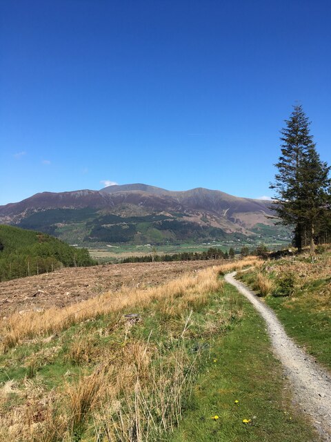
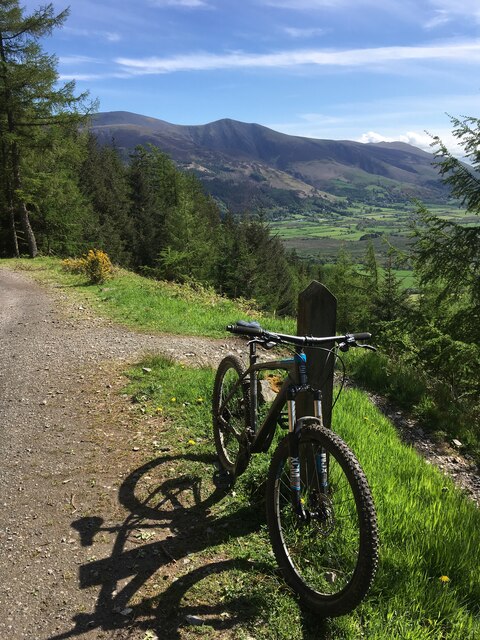
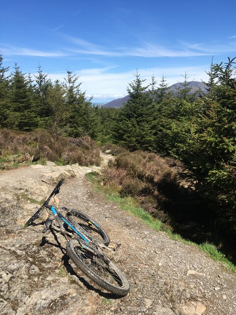
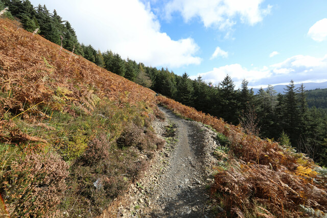
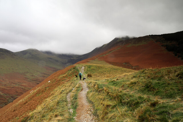
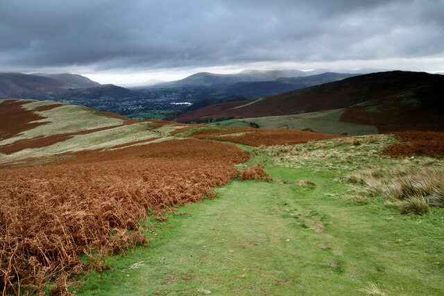
The forest is crisscrossed by a network of well-maintained trails, making it an ideal destination for hikers, walkers, and joggers of all abilities. These paths meander through the woodland, allowing visitors to immerse themselves in the natural beauty while exploring the area at their own pace. Along the way, there are designated viewing points that provide breathtaking vistas of the surrounding countryside.
Whinlatter Allotment is also renowned for its diverse wildlife. The forest is home to various bird species, including the elusive crossbill and the majestic osprey. Keen-eyed visitors may spot red squirrels darting between the trees or catch a glimpse of a roe deer grazing in the undergrowth.
Aside from its natural wonders, the allotment offers additional amenities to enhance visitors' experiences. These include picnic areas, a visitor center with informative exhibits about the forest's flora and fauna, and a café serving locally sourced refreshments.
Overall, Whinlatter Allotment in Cumberland provides an idyllic setting for individuals to connect with nature, embark on outdoor adventures, and appreciate the beauty of a well-preserved woodland ecosystem.
If you have any feedback on the listing, please let us know in the comments section below.
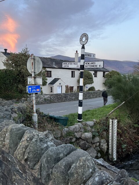
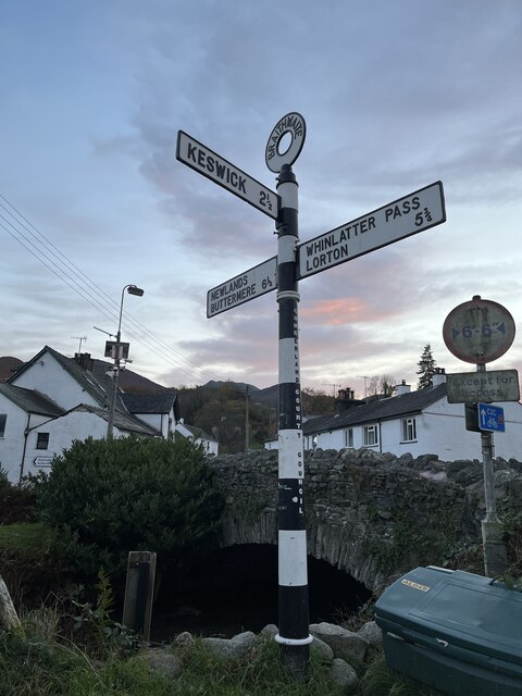
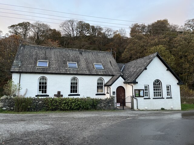
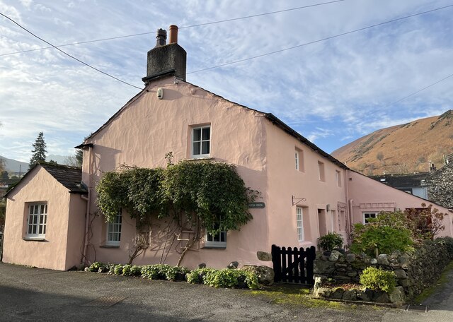
Whinlatter Allotment Images
Images are sourced within 2km of 54.606825/-3.207624 or Grid Reference NY2224. Thanks to Geograph Open Source API. All images are credited.


Whinlatter Allotment is located at Grid Ref: NY2224 (Lat: 54.606825, Lng: -3.207624)
Administrative County: Cumbria
District: Allerdale
Police Authority: Cumbria
What 3 Words
///luckier.wager.monkey. Near Keswick, Cumbria
Nearby Locations
Related Wikis

Braithwaite
Braithwaite is a village in the northern Lake District, in Cumbria, England. Historically in Cumberland, it lies just to the west of Keswick and to the...

Thornthwaite
Thornthwaite is a village in Cumbria, England. Historically in Cumberland, it is just off the A66 road, south of Bassenthwaite Lake and within the Lake...
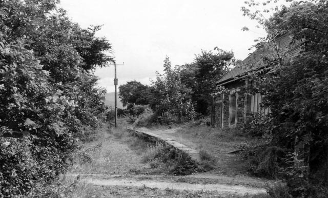
Braithwaite railway station
Braithwaite railway station was situated on the Cockermouth, Keswick and Penrith Railway between Penrith and Cockermouth in Cumbria, England. The station...
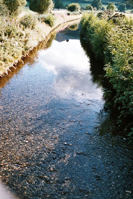
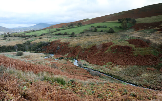
Coledale Beck
Coledale Beck is a minor river running through Cumbria in England. == Course == The beck rises north east of Eel Crag, where Pudding Beck meets Birkthwaite...

Chapel Beck
Chapel Beck is a minor river in the county of Cumbria in England. The beck rises in the Whinlatter Forest in the Lake District at the confluence of Grisedale...

Barrow (Lake District)
Barrow is small fell in the English Lake District in the county of Cumbria which reaches a height of 455 metres (1,494 feet). It is in the Newlands Valley...

Newlands Beck
Newlands Beck is a minor river of Cumbria in England. The beck rises on Dale Head and flows northwards through the picturesque Newlands Valley, past the...
Whinlatter Pass
The Whinlatter Pass is a mountain pass in the Lake District in Cumbria, England. It is located on the B5292 road linking Braithwaite, to the west of Keswick...
Nearby Amenities
Located within 500m of 54.606825,-3.207624Have you been to Whinlatter Allotment?
Leave your review of Whinlatter Allotment below (or comments, questions and feedback).