Knott Head
Landscape Feature in Cumberland Allerdale
England
Knott Head
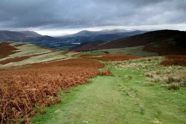
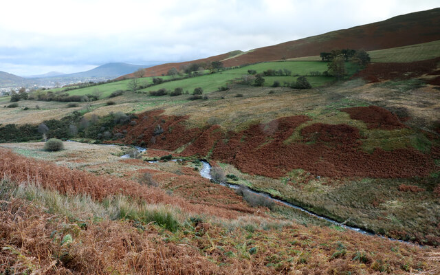
Knott Head is a prominent landscape feature located in Cumberland, a county in the northwestern part of England. Situated in the Lake District, Knott Head is a large hill that reaches an elevation of approximately 500 meters above sea level. It is part of the beautiful Caldbeck Fells range, known for its stunning natural scenery and picturesque views.
The hill itself is characterized by its distinctive shape, resembling the head of a knotted rope, hence its name. Its unique formation is the result of geological processes that took place millions of years ago, including volcanic activity and glacial erosion. These processes have sculpted the hill, giving it its current appearance.
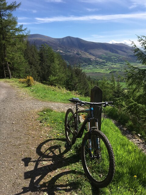
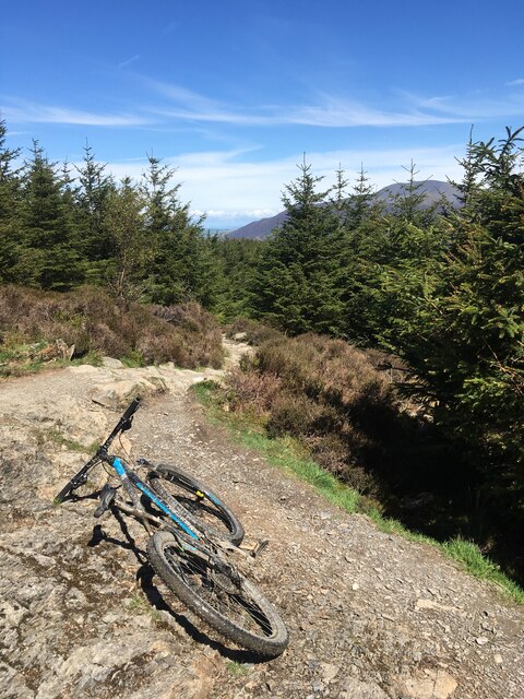
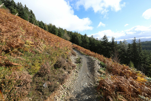
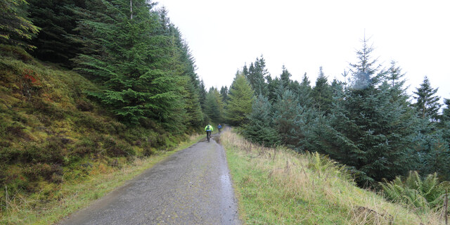
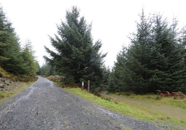
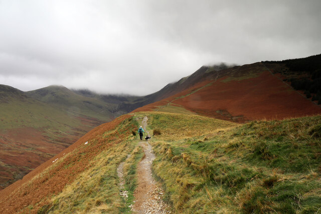
Knott Head boasts a diverse range of vegetation, with grassy slopes and patches of heather covering its surface. These provide habitat for a variety of plant and animal species, adding to the ecological significance of the area. The hill is also intersected by several footpaths, making it a popular spot for hikers and nature enthusiasts seeking to explore the surrounding countryside.
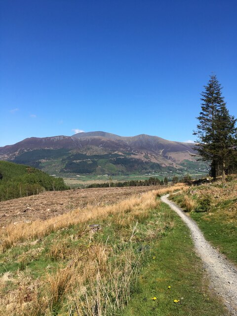
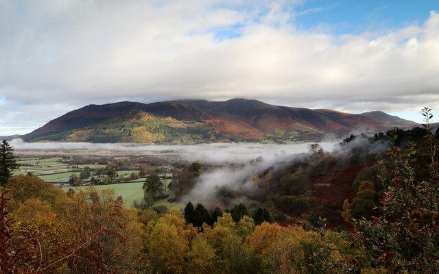
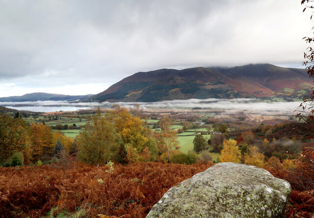
From the summit of Knott Head, visitors are treated to breathtaking panoramic views of the surrounding landscape. On clear days, one can observe the expansive Caldbeck Fells, with their rolling hills, deep valleys, and sparkling lakes. The distant peaks of the Lake District National Park can also be seen, creating a truly awe-inspiring vista.
Overall, Knott Head is a captivating landscape feature in Cumberland, offering a combination of natural beauty, geological interest, and recreational opportunities for all who venture to its summit.
If you have any feedback on the listing, please let us know in the comments section below.
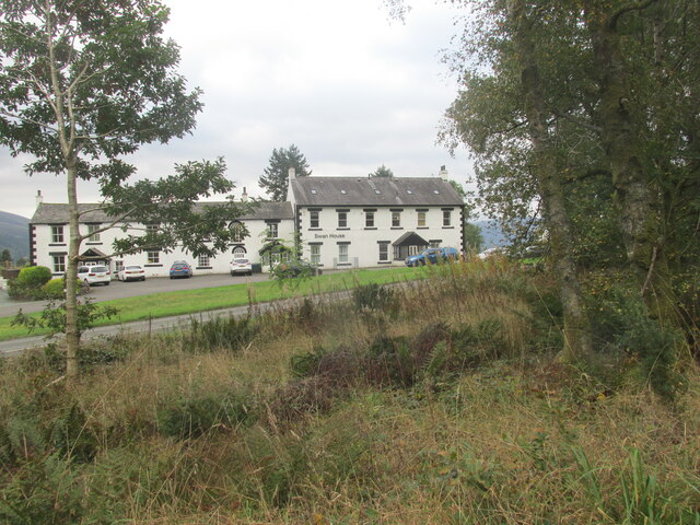
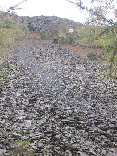
Knott Head Images
Images are sourced within 2km of 54.610274/-3.2051403 or Grid Reference NY2224. Thanks to Geograph Open Source API. All images are credited.
Knott Head is located at Grid Ref: NY2224 (Lat: 54.610274, Lng: -3.2051403)
Administrative County: Cumbria
District: Allerdale
Police Authority: Cumbria
What 3 Words
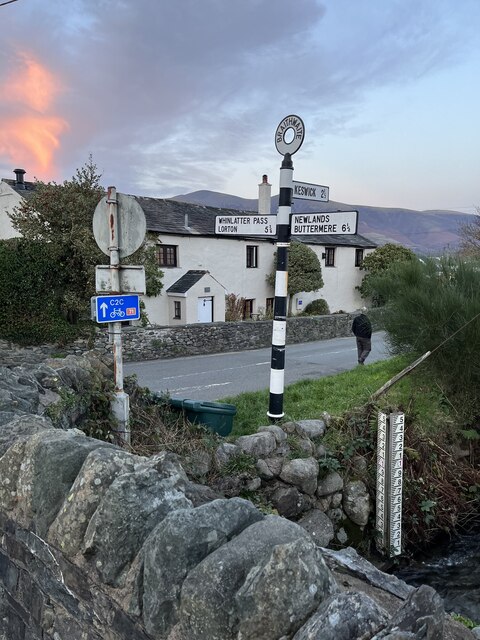
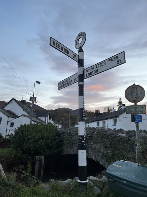
///improve.adapt.waddled. Near Keswick, Cumbria
Nearby Locations
Related Wikis

Thornthwaite
Thornthwaite is a village in Cumbria, England. Historically in Cumberland, it is just off the A66 road, south of Bassenthwaite Lake and within the Lake...
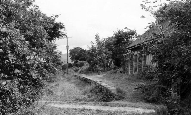
Braithwaite railway station
Braithwaite railway station was situated on the Cockermouth, Keswick and Penrith Railway between Penrith and Cockermouth in Cumbria, England. The station...

Braithwaite
Braithwaite is a village in the northern Lake District, in Cumbria, England. Historically in Cumberland, it lies just to the west of Keswick and to the...

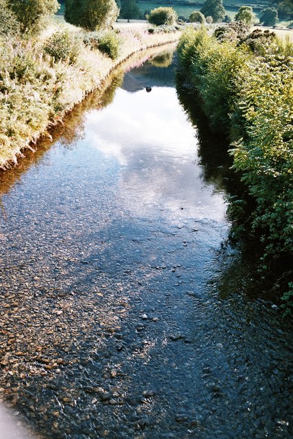
Chapel Beck
Chapel Beck is a minor river in the county of Cumbria in England. The beck rises in the Whinlatter Forest in the Lake District at the confluence of Grisedale...
Coledale Beck
Coledale Beck is a minor river running through Cumbria in England. == Course == The beck rises north east of Eel Crag, where Pudding Beck meets Birkthwaite...

Newlands Beck
Newlands Beck is a minor river of Cumbria in England. The beck rises on Dale Head and flows northwards through the picturesque Newlands Valley, past the...

Barf (Lake District)
Barf is a fell in the north-western Lake District in Cumbria, UK. It stands on the south-western shore of Bassenthwaite Lake. Barf is well known for a...

Lord's Seat
Lord's Seat is a fell in the English Lake District. It is the highest of the group of hills north of Whinlatter Pass in the North Western Fells. The slopes...
Nearby Amenities
Located within 500m of 54.610274,-3.2051403Have you been to Knott Head?
Leave your review of Knott Head below (or comments, questions and feedback).